Pages
This section contains all the static pages.
About
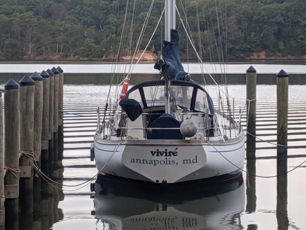
Viviré in Spanish is the future tense of ‘To Live’ – I Will Live. We selected Viviré as the name for our first boat, a 38’ Shannon Ketch, after rejecting Primo Viviré for being to difficult to communicate to the Coast Guard as we sank and needed rescuing. Good thing since Primo Viviré does NOT mean ‘Life Comes First’ as we thought; rather, it means ‘my cousin will live’.
We endeavor to incorporate the sentiment of Viviré into our lives and use it as the name for this blog of our adventures.
Posts
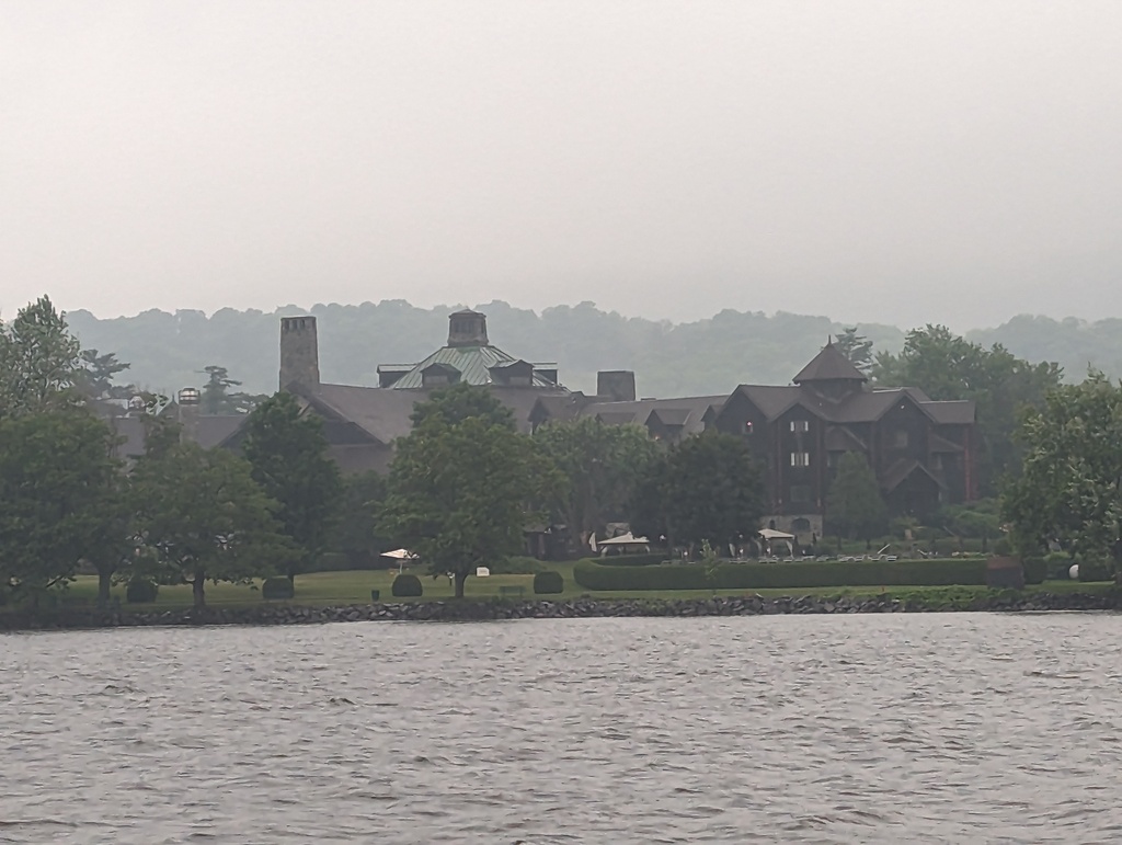
TODO Rideau Canal
aa
Figure 1: 3
Statistics
With enough accumulated data, it might be interesting to share some data from the trip through Ottawa.
Distance
| Distance Stats | |
|---|---|
| Distance traveled (D) | 1191.3 miles |
| Engine hours (H) | 158.3 hrs |
| Average speed (D/H) | 7.5 mph |
Fuel
| Fuel Stats | |
|---|---|
| Fuel, gallons (G) | 411.07 gal |
| Fuel, total cost ($) | $1894.04 |
| Fuel, average cost ($/G) | $4.61/gal |
| Fuel, max cost | $5.32/gal |
| Fuel, min cost | $3.79/gal |
| Mileage, average (D/G) | 2.9 mpg |
Mooring
| Mooring Stats | |
|---|---|
| Mooring, total | $760.81 |
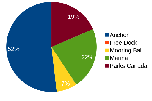
Figure 2: Mooring type
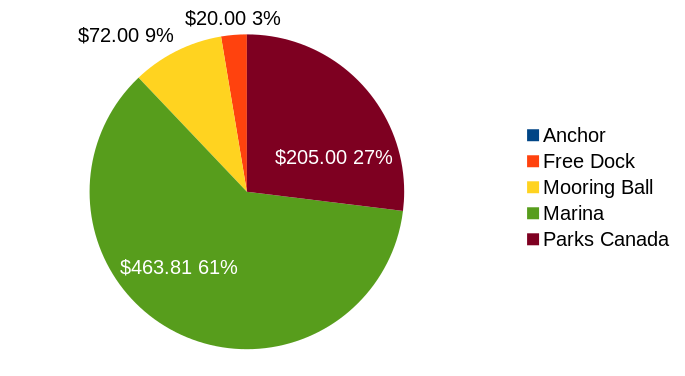
Figure 3: Mooring cost
notes
- The Parks Canada mooring permit cost $205.0 and was accounted for at the first Parks Canada mooring. Mooring permit cost/stay will decrease with each additional stay.
- A ‘Free Dock’ might charge a fee for electric or bath house access.
Miscellaneous
Penguin has a 25 gallon black water (sewage) holding tank, most marinas charge for pumping out holding tanks.
| Pumpout Stats | |
|---|---|
| Pumpout, total | $24.00 |
| Pumpout, max cost | $19.00 |
| Pumpout, min cost | free |
Ottawa
Summary
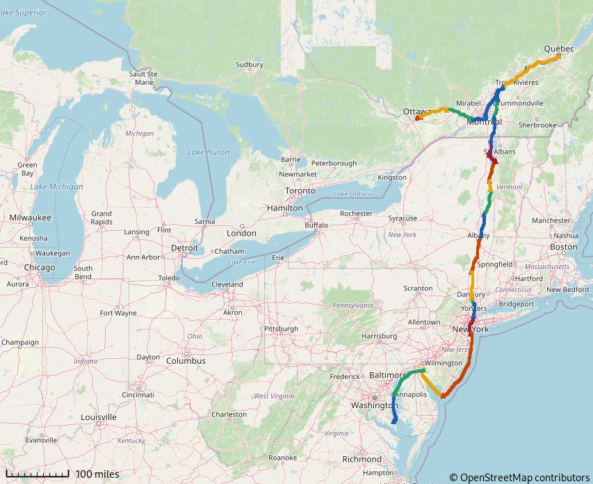
We traveled 140.9 miles on this segment from June 29-July 2 and enjoyed Ottawa July 2-3
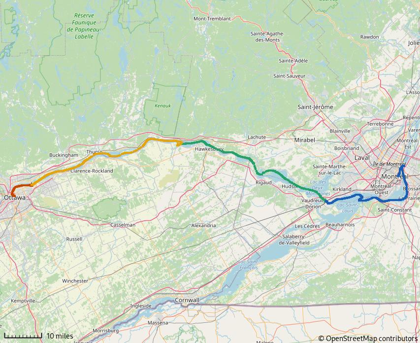
Figure 4: Montréal to Ottawa
We planned to reach Ottawa in time for Canada Day, commemorating the anniversary of Canada’s Confederation
CANADA DAY commemorates the anniversary of Canada’s Confederation – July 1, 1867 – when three British North American provinces; Province of Canada, Nova Scotia and New Brunswick; were federated into the Dominion of Canada. Confederation was driven, in part, by the fear that the United States would retaliate for British unofficial support for the South during the American Civil War. America’s recent acquisition of Alaska and a seasoned standing army drove fears America would again try to annex British North American provinces.
We had heard that the celebration in Ottawa was special and hoped to see for ourselves.
Getting to Ottawa
The Lachine rapids prevent navigation on the Saint Lawrence River beyond Montreal. The Lachine canal was opened in 1825 to bypass the rapids. By the 1970’s, ship sizes exceeded the Lachine’s capacity; the South Shore Canal of the Saint Lawrence Seaway was built to accommodate larger ships.
-
South Shore Canal
The South Shore Canal includes the Saint Lambert Lock, Saint Catherine Lock and 20 miles of embankments providing navigable depths. Each lock is 766x80ft and accommodates ships up to 740ft length and 78ft beam.
To enter the South Shore canal, we returned down the Saint Lawrence river to round Saint Helens Island. It was a lot more fun heading down current!

Figure 5: With the current this time!
-
Saint Lambert Lock
Our first encounter with big ships, Saint Lambert Lock provides 15ft lift. Each cycle of the lock requires 6.9M gallons of water (which would flow through the rapids otherwise).
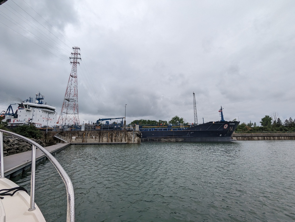
Figure 6: Mixing with the big boys now!
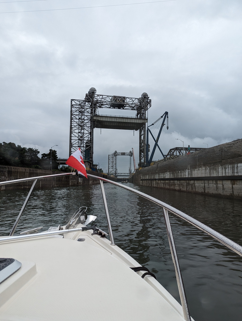
Figure 7: Saint Lambert Lock
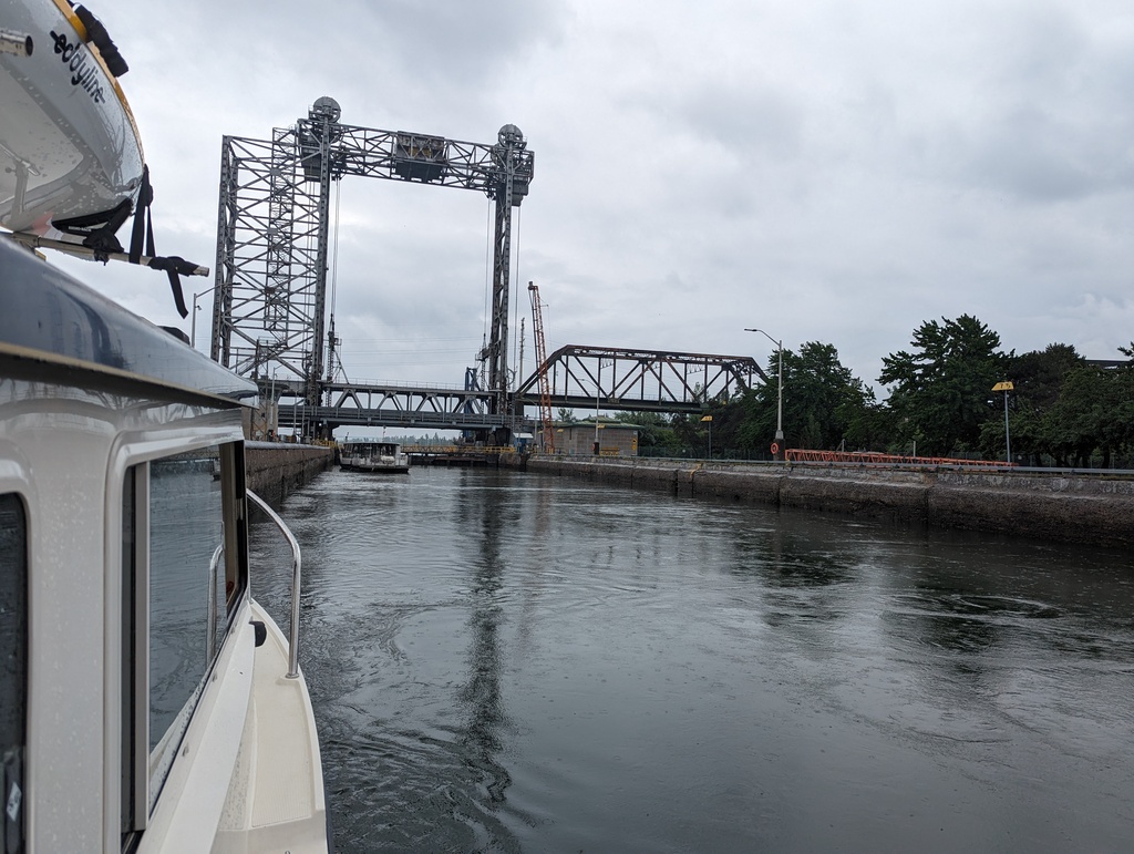
Figure 8: Saint Lambert Lock
-
Saint Catherines Lock
Embankments create a pool between the two locks. Saint Catherines Lock provides 20ft lift and requires 9.2M gallons of water for each cycle.
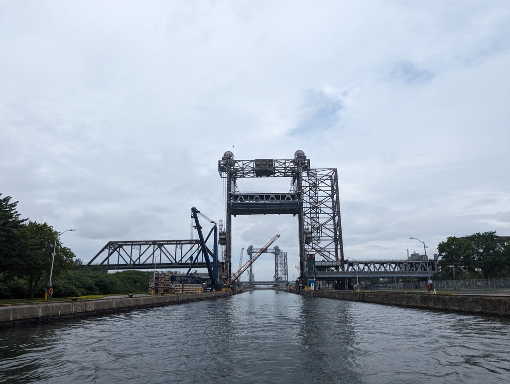
Figure 9: Saint Catherines Lock
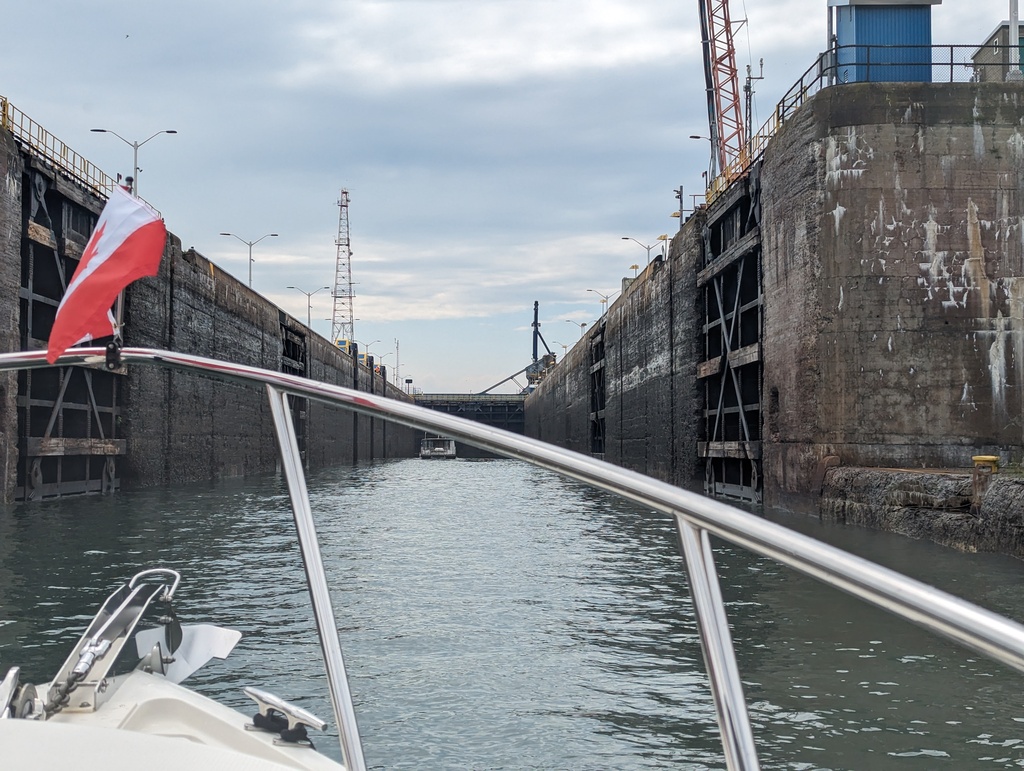
Figure 10: Saint Catherines Lock
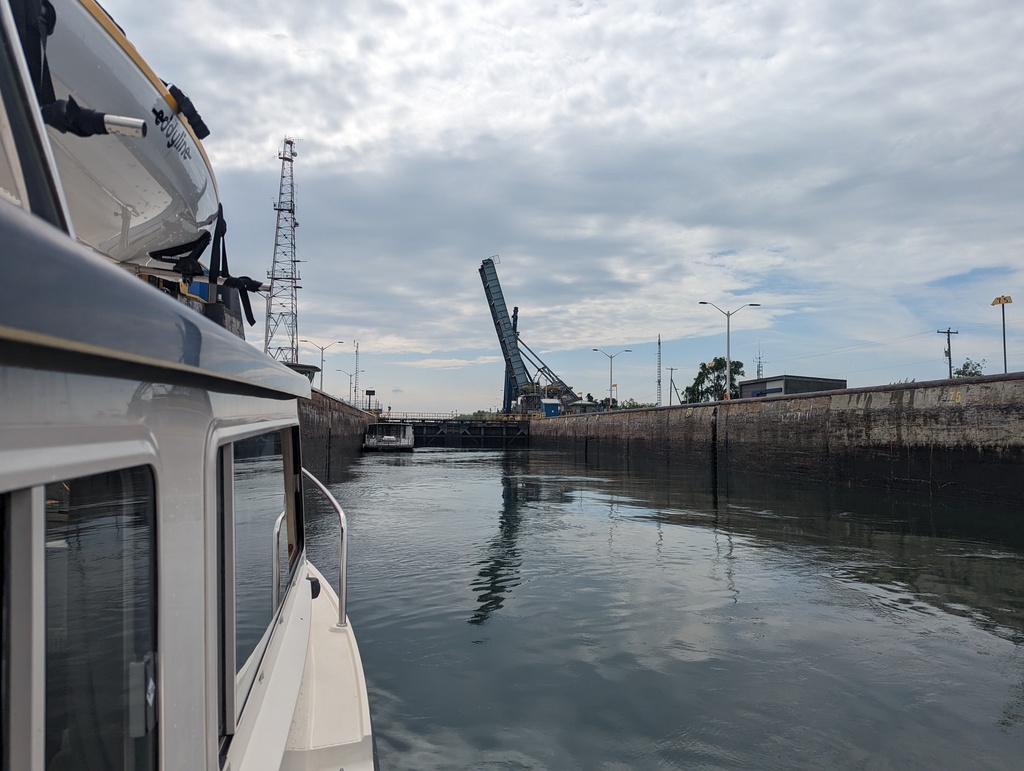
Figure 11: Saint Catherines Lock
-
Embankments
Embankments continue after the two locks to provide navigation beyond the Lachine Rapids. A couple of down-river bound freighters passed us in the canal.
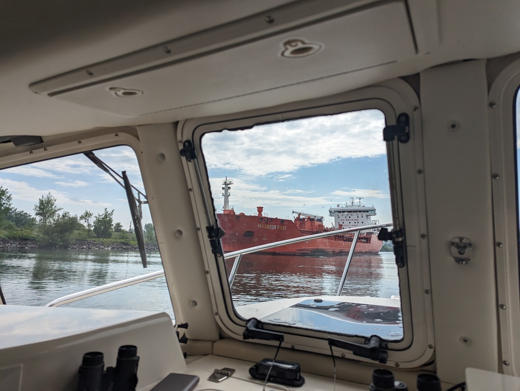
Figure 12: Down-river bound
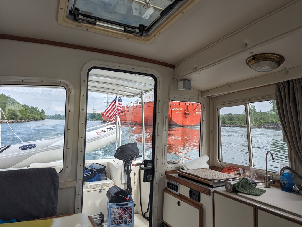
Figure 13: Down-river bound
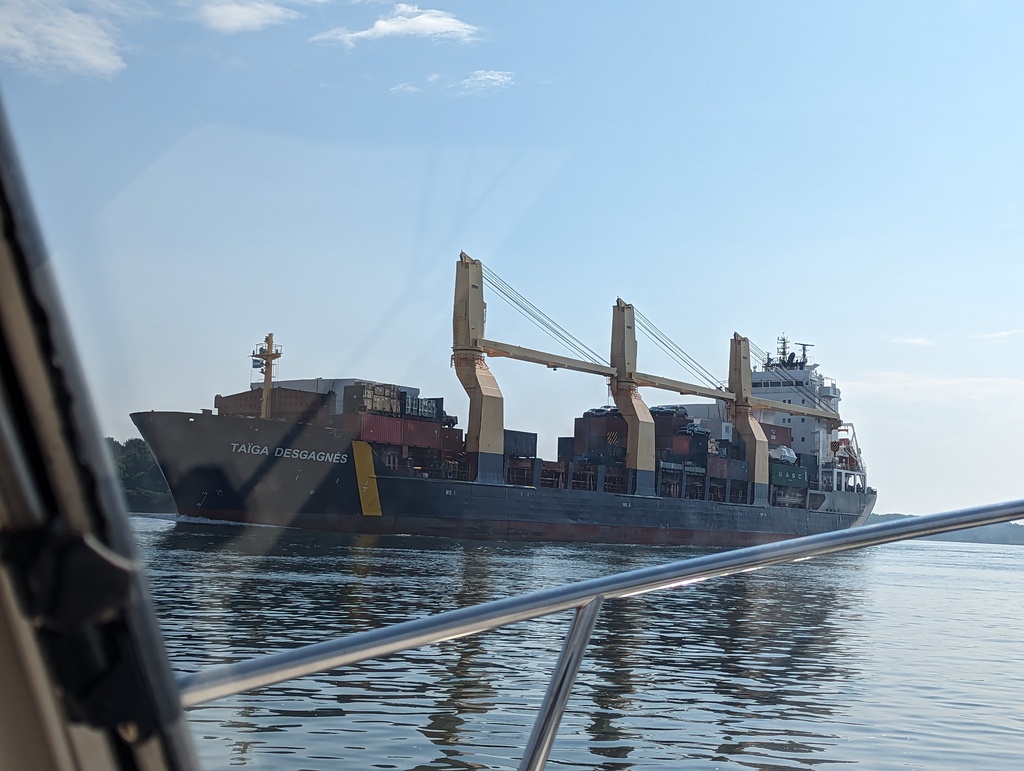
Figure 14: Down-river bound
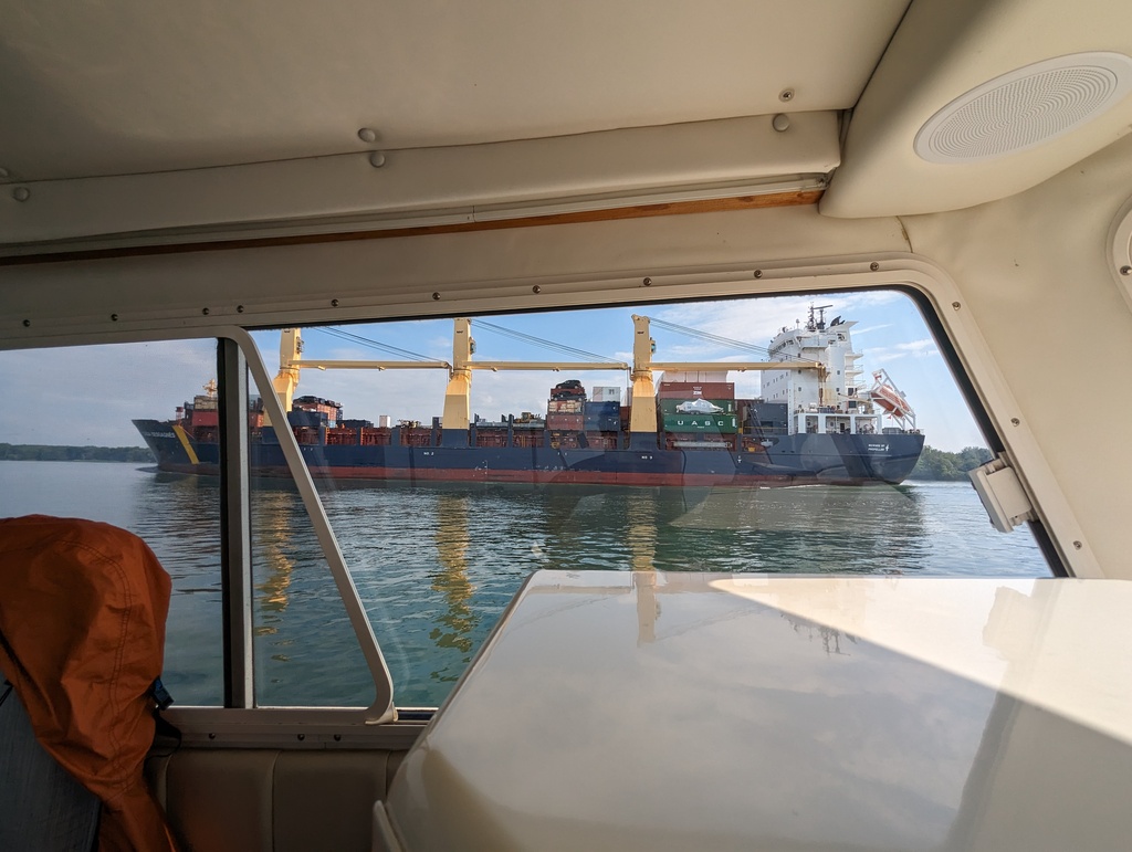
Figure 15: Down-river bound
-
-
Ottawa River
A series of locks and canals are incorporated to provide navigation along the Ottawa River. Saint Anne de Bellvue canal joins Lake Saint-Louis and Lake of Two Mountains. The Carillon, Chute-á-Blondeau and Carillon locks bypass 13 miles of rapids at the southern end of Ottawa River. Making the Ottawa River navigable became a military priority after the War of 1812 when British Naval use of the Saint Lawrence River was threatened from the American side of the river, up-river from Montreal. These locks and the Rideau Canal were built to provide an alternative to the Saint Lawrence River for Great Lake access.
-
Saint Anne de Bellvue
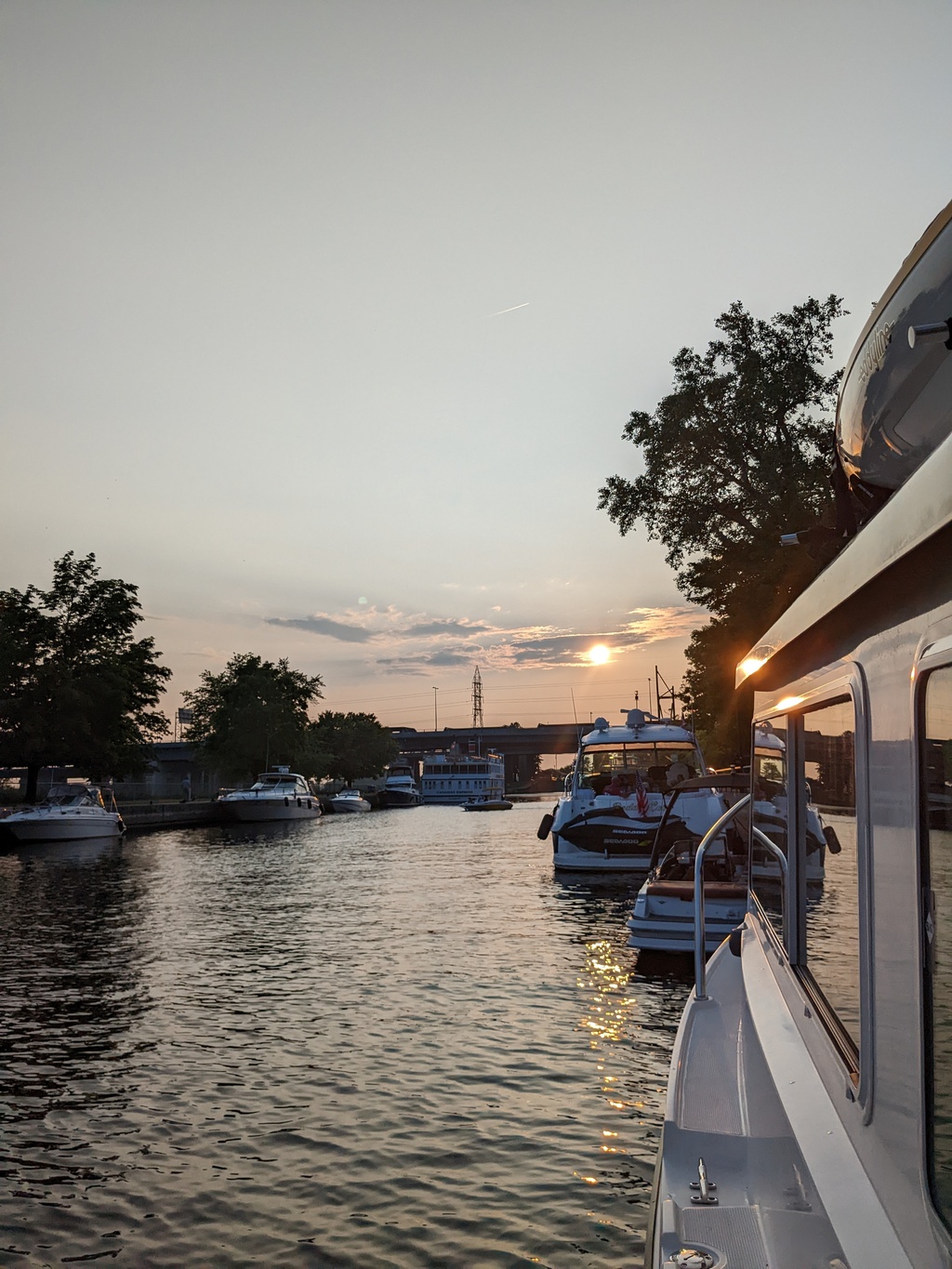
Figure 16: Saint Anne de Bellvue at the western tip of Montreal Island
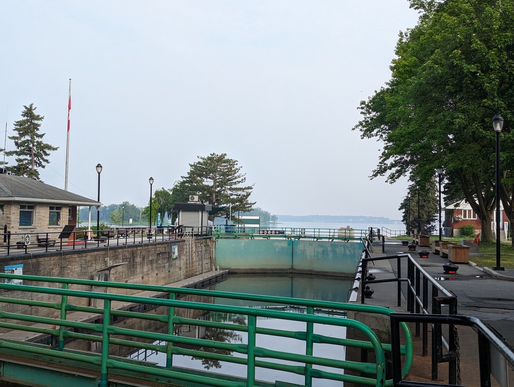
Figure 17: Saint Anne de Bellvue Lock joins Lake Saint Louise and Lake of Two Mountains
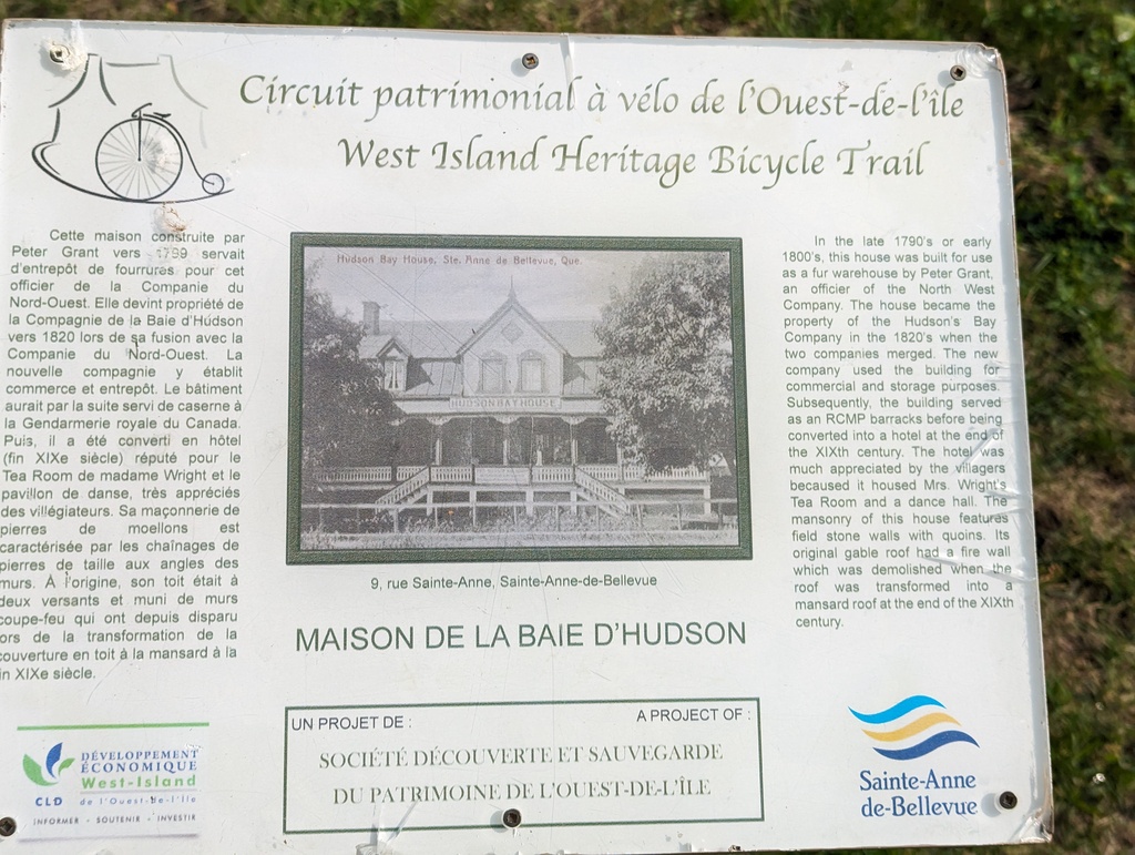
Figure 18: Saint Anne de Bellvue, founded in 1703, allowed the Beaver Pelt trade to move closer to the source
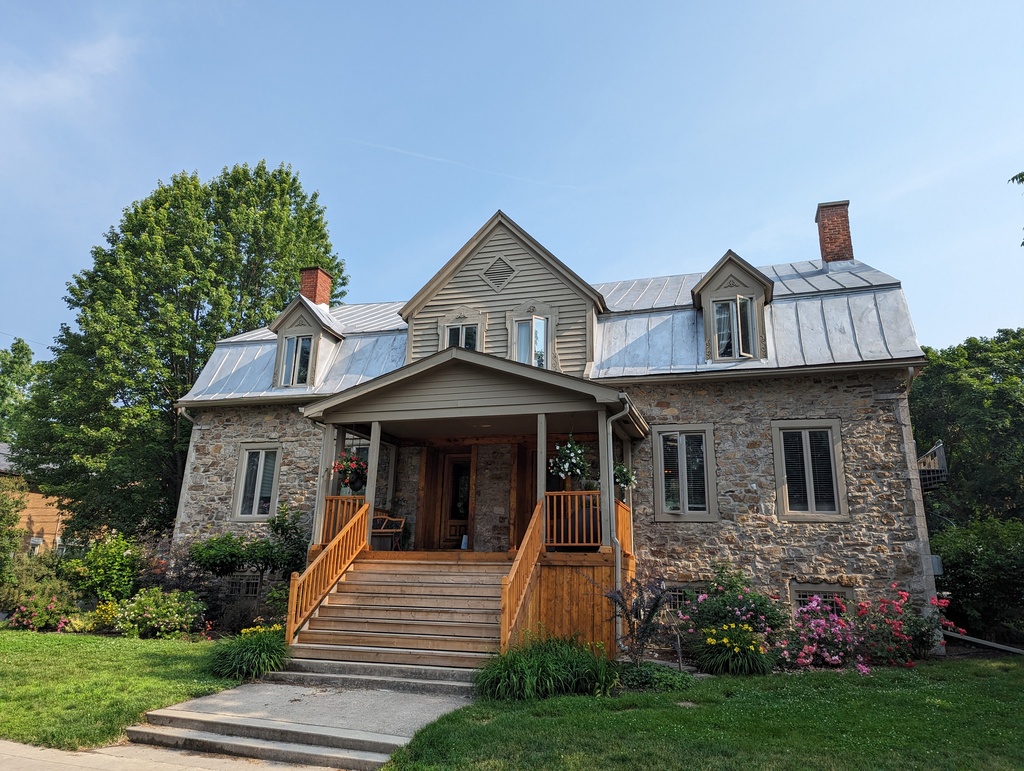
Figure 19: Originally a fur warehouse; later, converted to a hotel
-
Carillon Lock
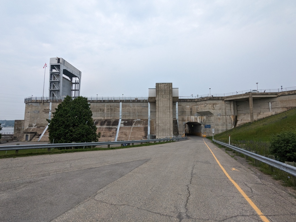
Figure 20: The new Carillon lock, completed in 1963, replaced both the original and Chute-á-Blondeu lock.
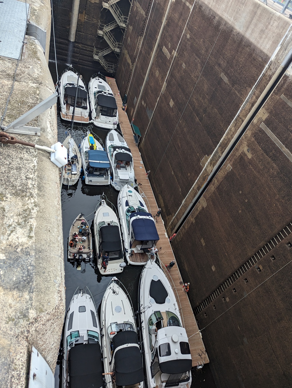
Figure 21: The Carillon lock has a vertical lift of 62ft
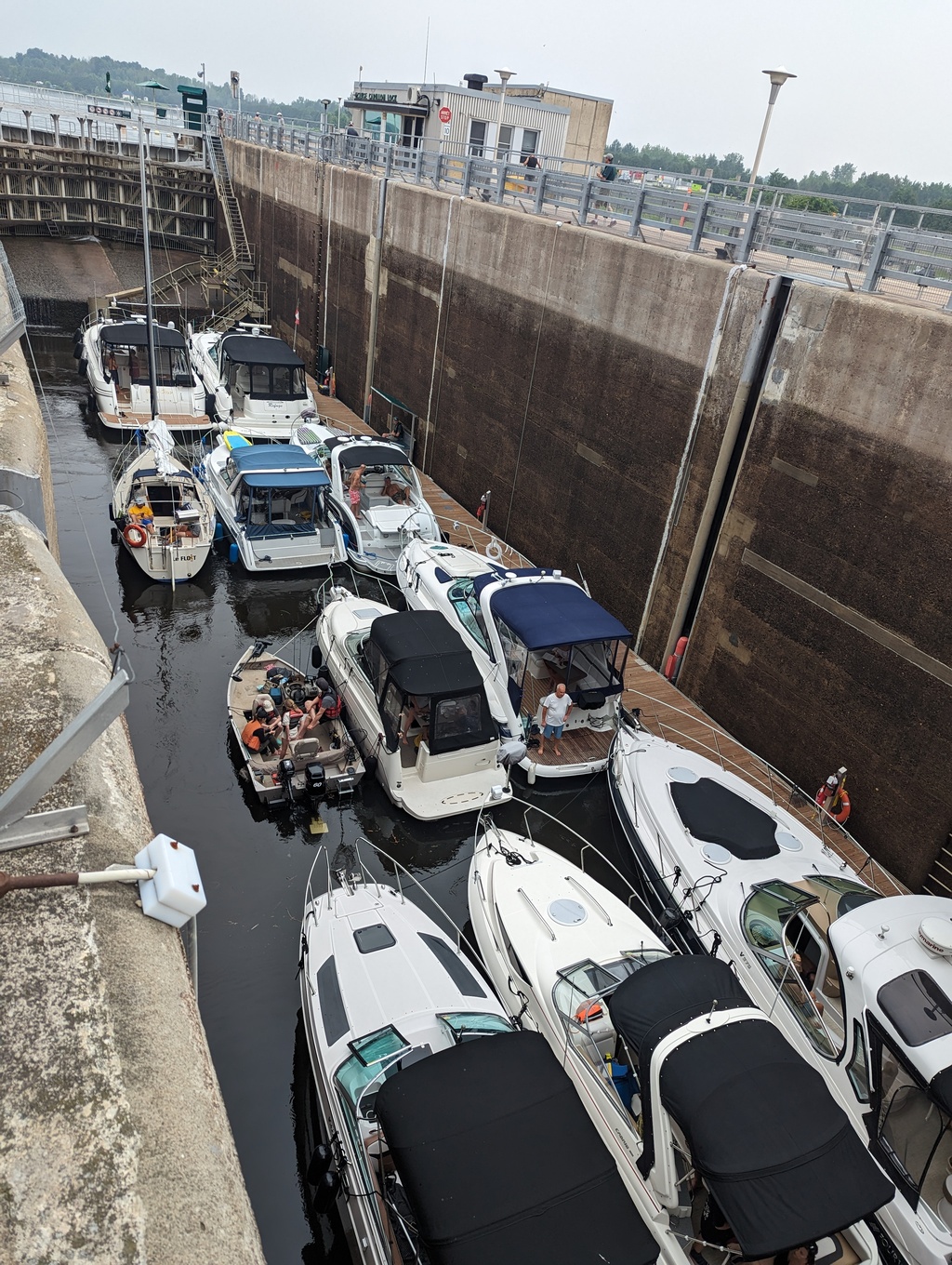
Figure 22: The Carillon lock dimensions are 134ftx33ft
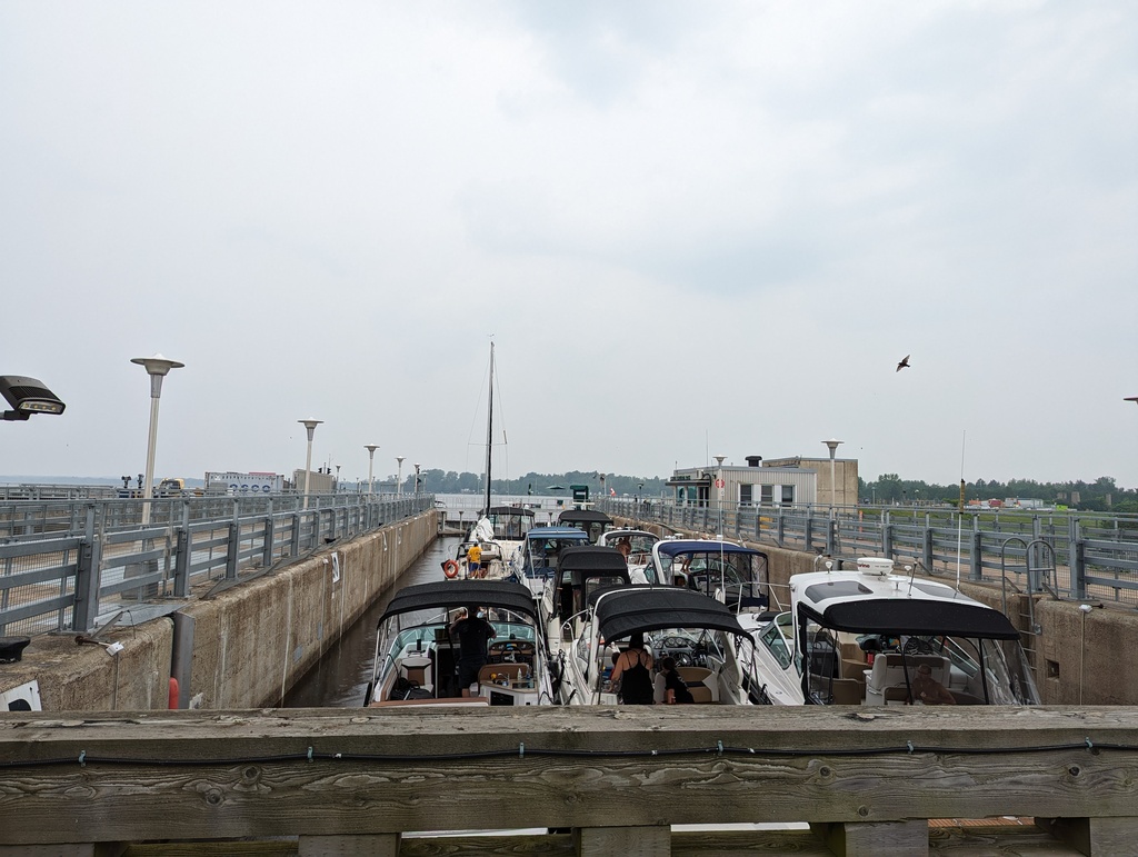
Figure 23: Each cycle of the lock requires 2.2M gallons of water
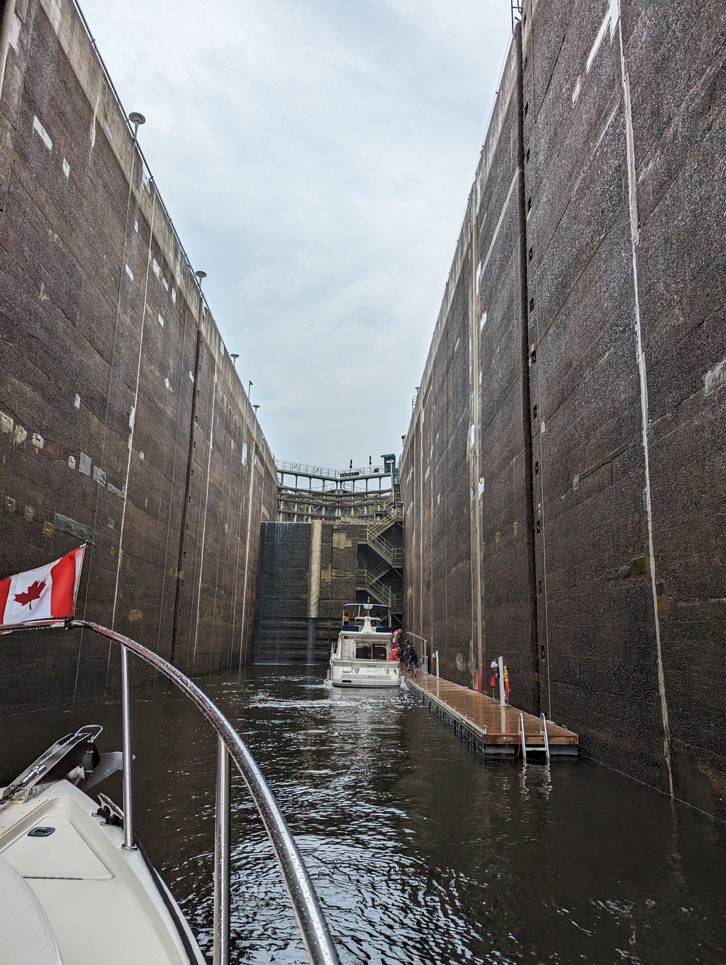
Figure 24: Penguin’s turn in the Carillon Lock
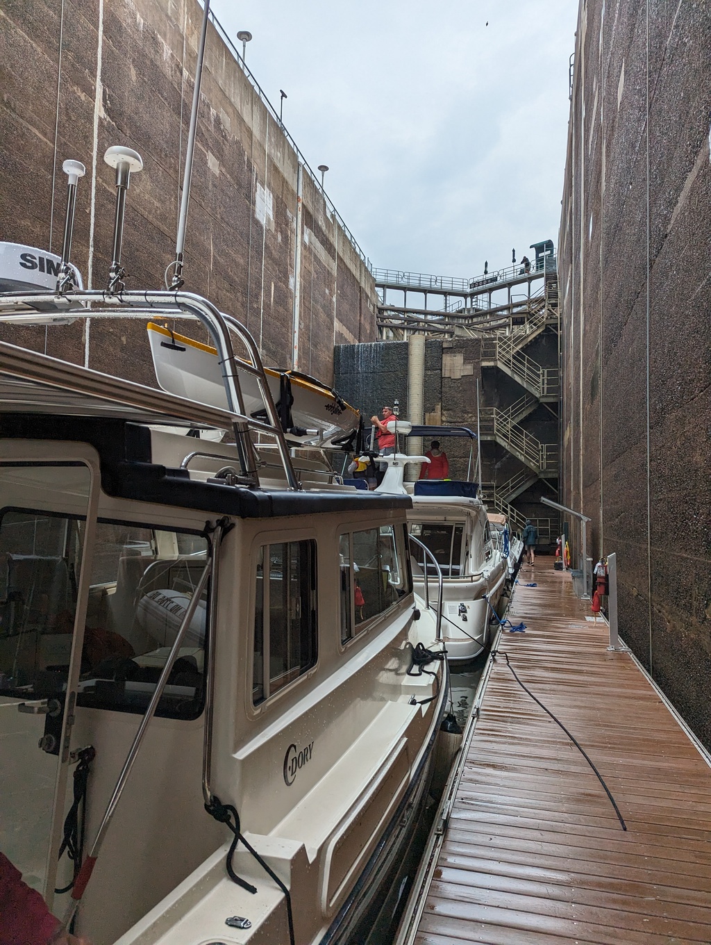
Figure 25: Boats tie to a floating dock inside the lock
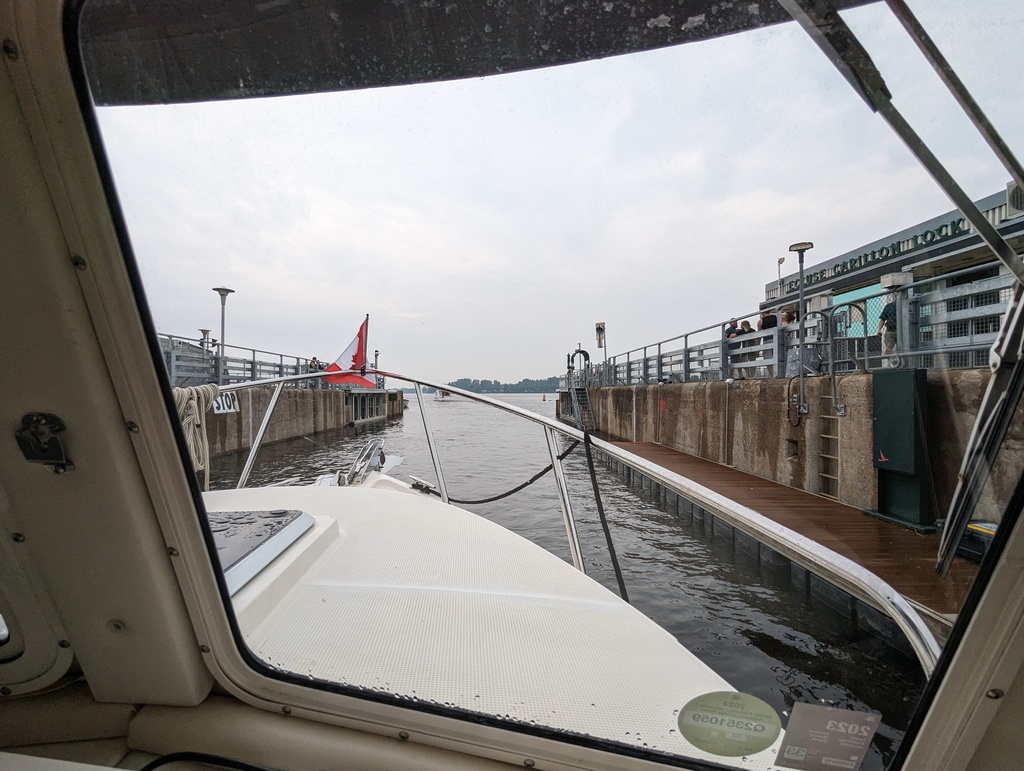
Figure 26: Penguin leaves the Carillon Lock
-
The River
We made pretty good progress up the Ottawa River, anchoring overnight in Baie des Atocas.
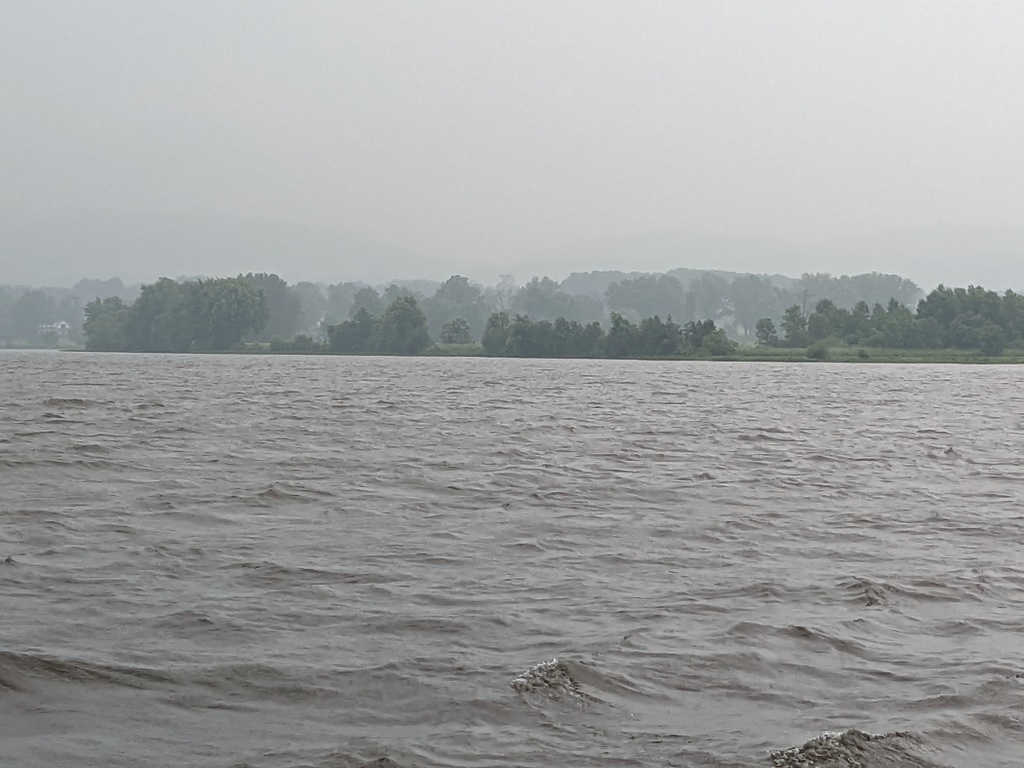
Figure 27: Leaving Baie des Atocas on a rainy morning
However, severe whether had us stopping 8 miles short of the capital taking cover from forecast of 45MPH winds, thundershowers and possible tornadoes. The storm was easily the worst weather we had experienced on this trip. While we were disappointed to not make the celebration, we were happy to be safe; the anchor held!
We continued to Ottawa on the next day, the Sunday after Canada Day.
Figure 30: Ottawa River
Figure 31: Approaching Ottawa
-
-
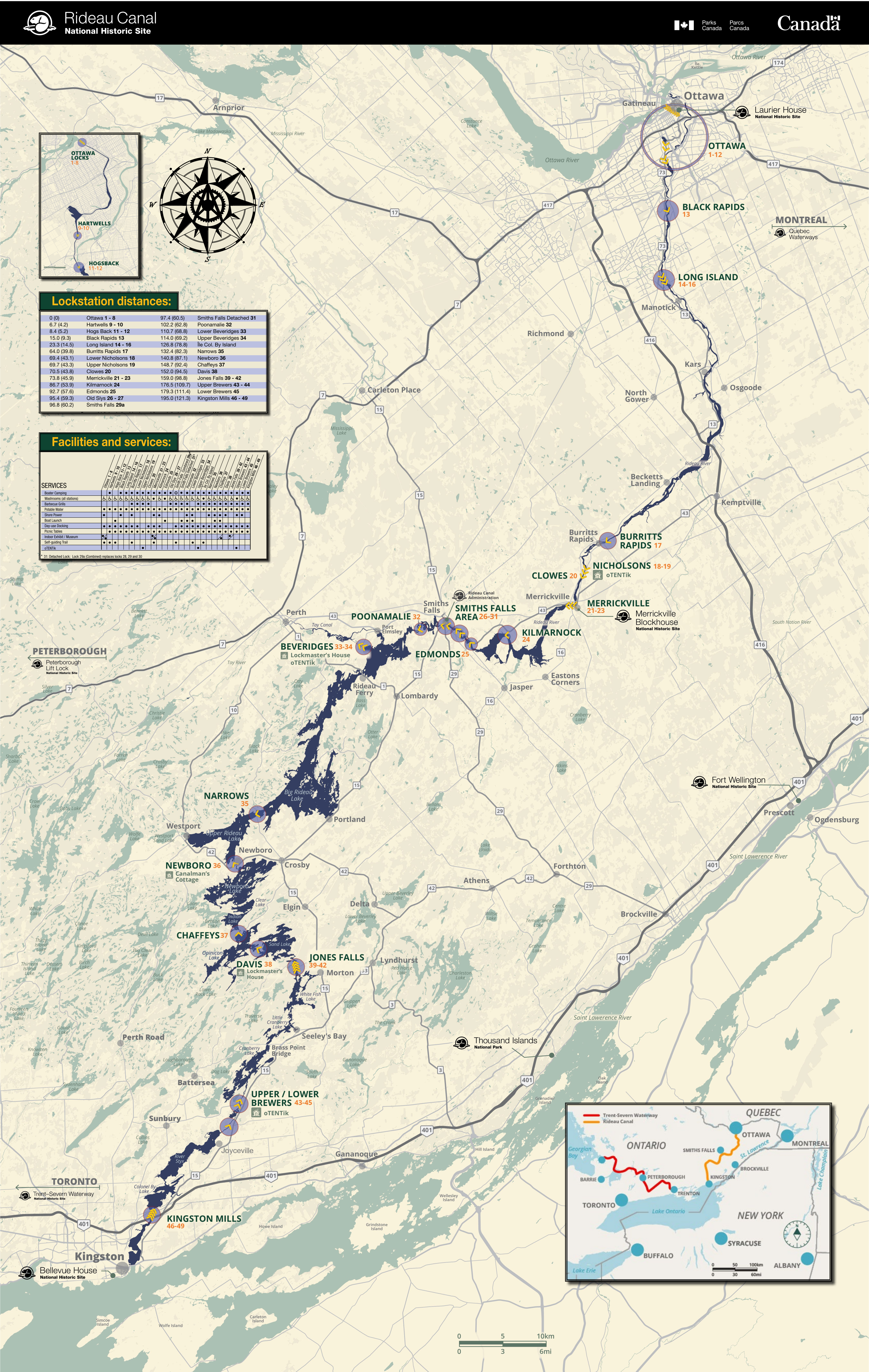
Ottawa
The village of Bytown was built as a residence for Rideau Canal workers. The village was named for John By, the Royal Engineer in charge of Rideau Canal construction. In 1855 Bytown became the City of Ottawa. In 1841 the Upper (French) and Lower (British) provinces Canada were joined into one province, the Province of Canada. The powerful cities of the day, Quebec, Montreal, Kingston, and Toronto vied to become capital to the joined Province. Queen Victoria was tasked with selecting the new capital’s location. She selected Ottawa because it was neutrally located at the borders of French and English Canada and isolated from the United States’ influence.
Rideau Canal locks 1-8 ascend from the Ottawa River into downtown Ottawa. The locks are still manually operated with the same mechanisms used when the locks opened in 1832. It takes the team of lock operators 3.5 hours to take a boat through all 8 flights.
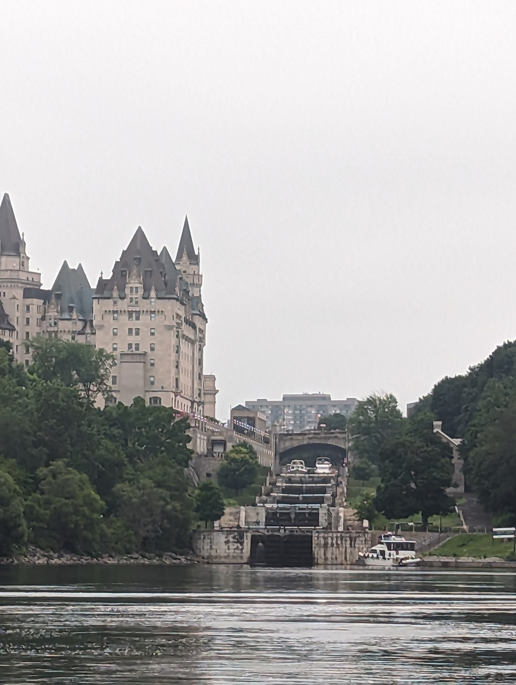
Figure 32: The Rideau Canal Locks 1-8 at the Ottawa River
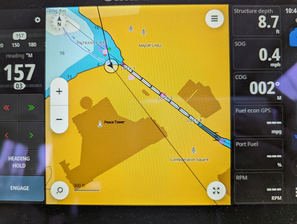
Figure 33: Locks 1-8 climb from the Ottawa River into downtown Ottawa
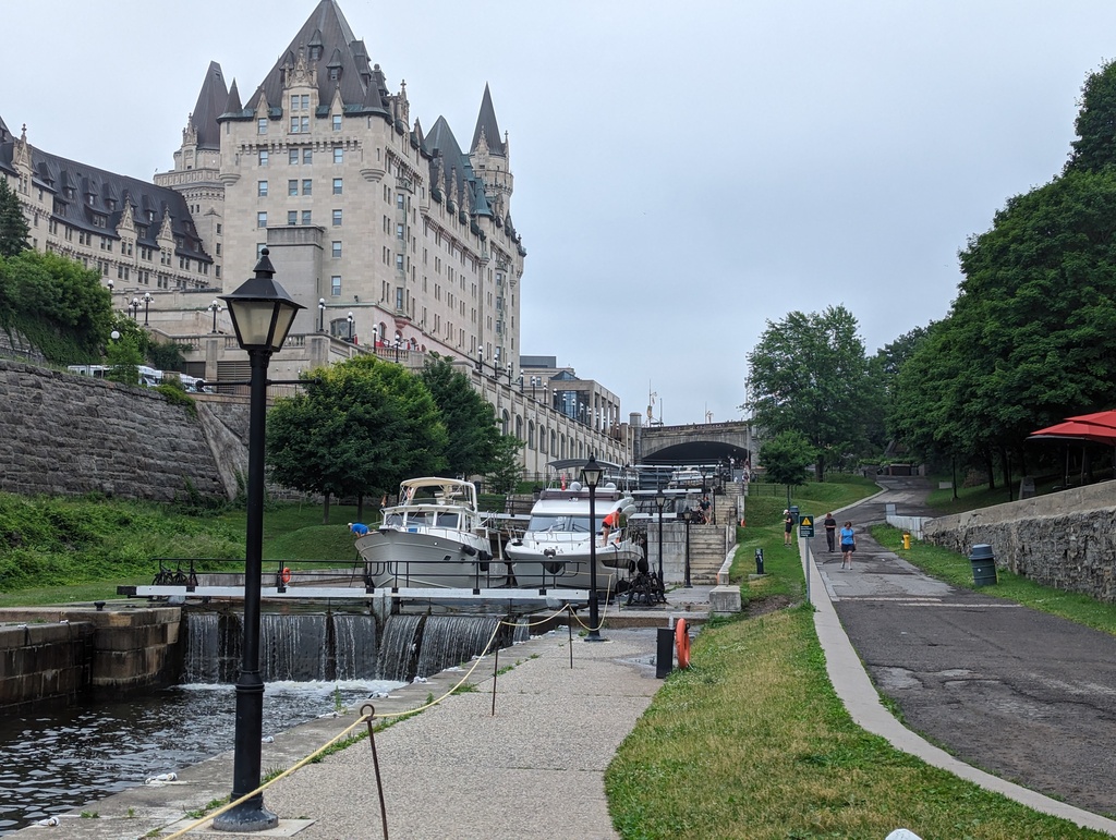
Figure 34: Descending Ottawa City Locks 1-8
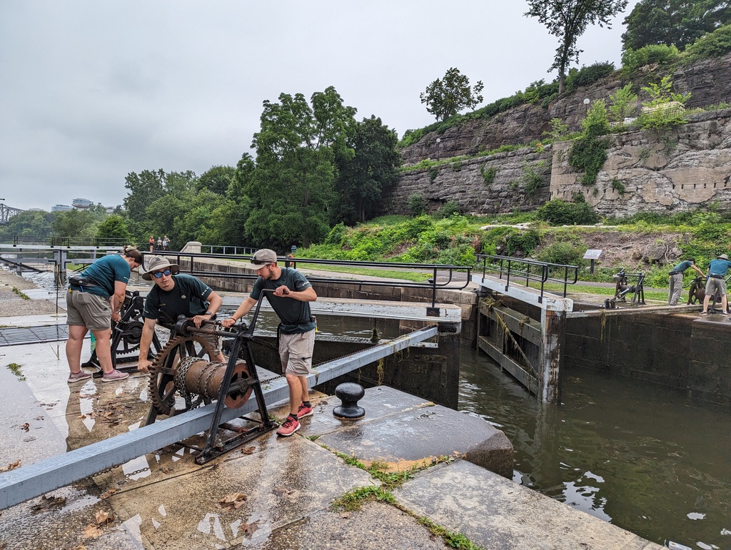
Figure 35: Locks are manually operated just as when they opened in 1832.
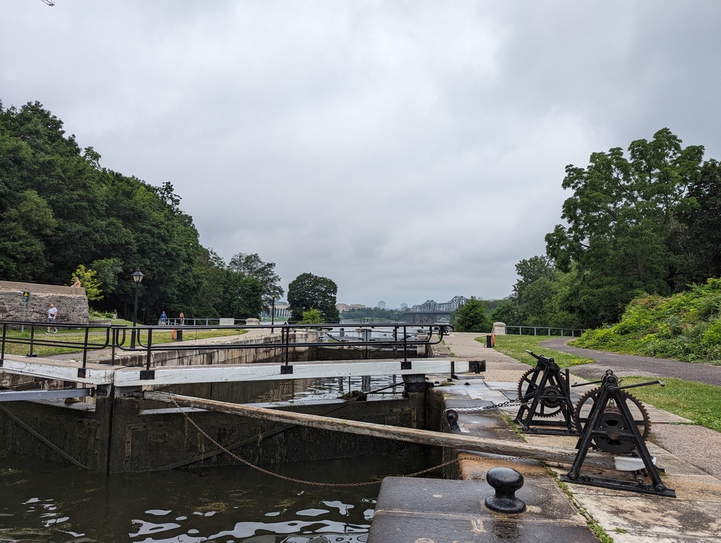
Figure 36: Mechanicals are the same as used in 1832.
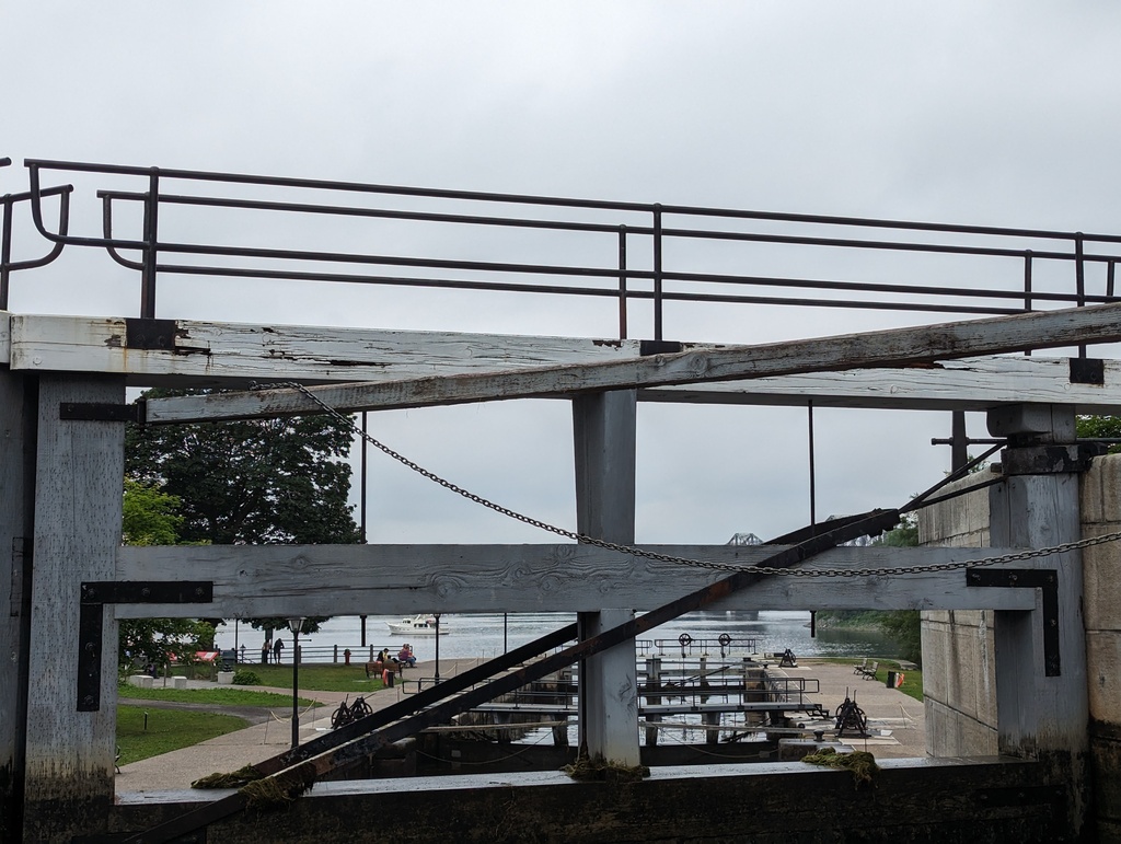
Figure 37: Mechanicals are the same as used in 1832.
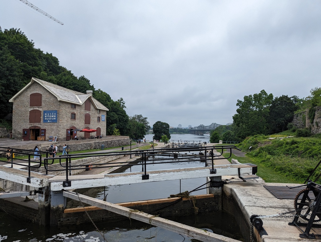
Figure 38: Bytown Museum
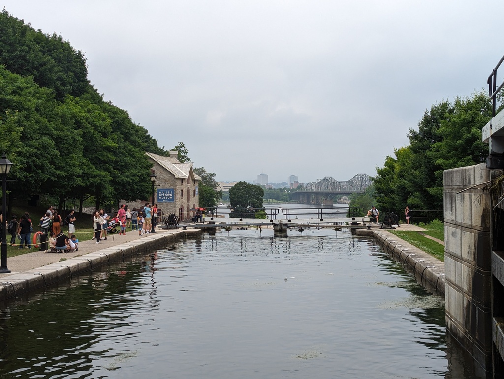
Figure 39: Departing Lock 5
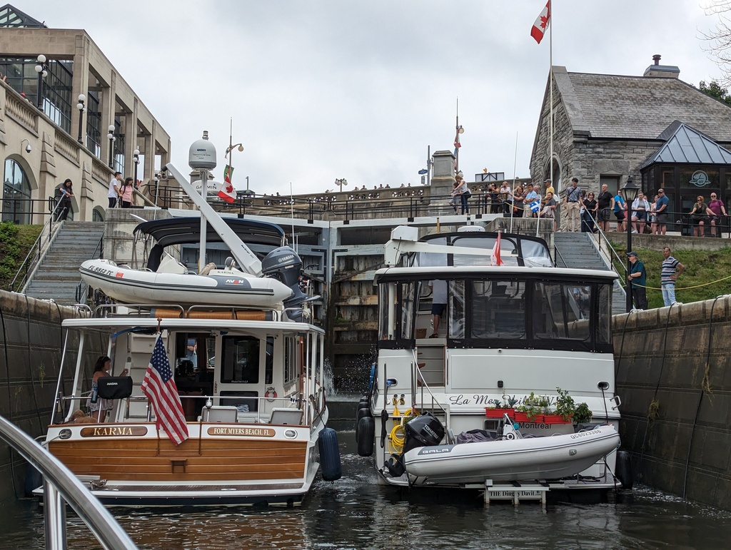
Figure 40: Entering Lock 7
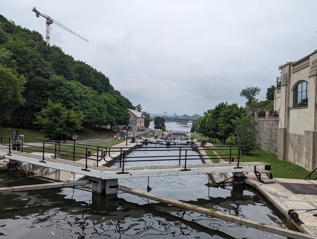
Figure 41: Top of Lock 7
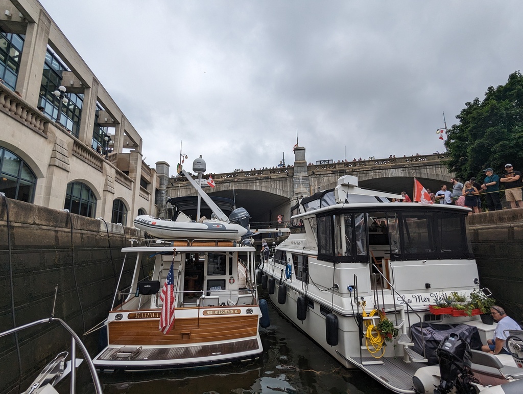
Figure 42: Entering Lock 8
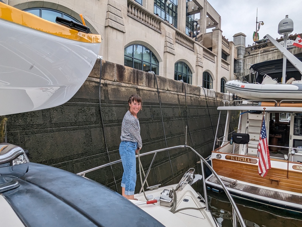
Figure 43: Tending lock lines
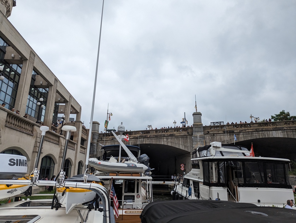
Figure 44: Lock 8 and Parliament Bridge
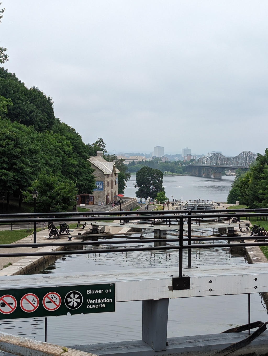
Figure 45: 3.5 hours later…
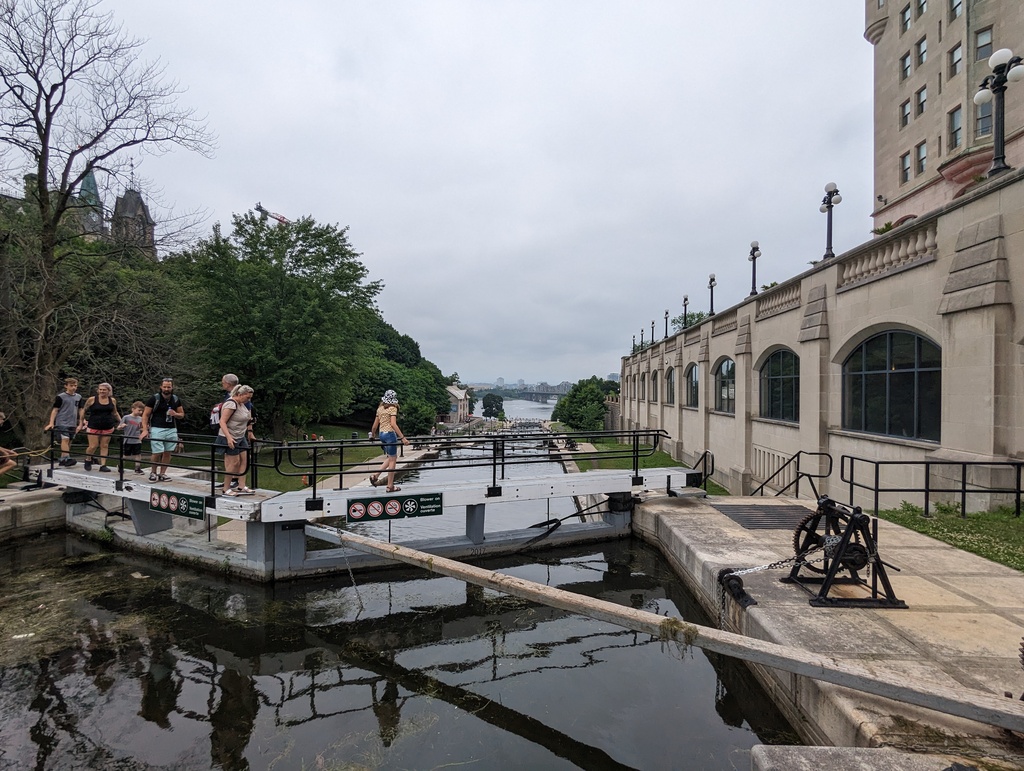
Figure 46: Leaving Lock 8
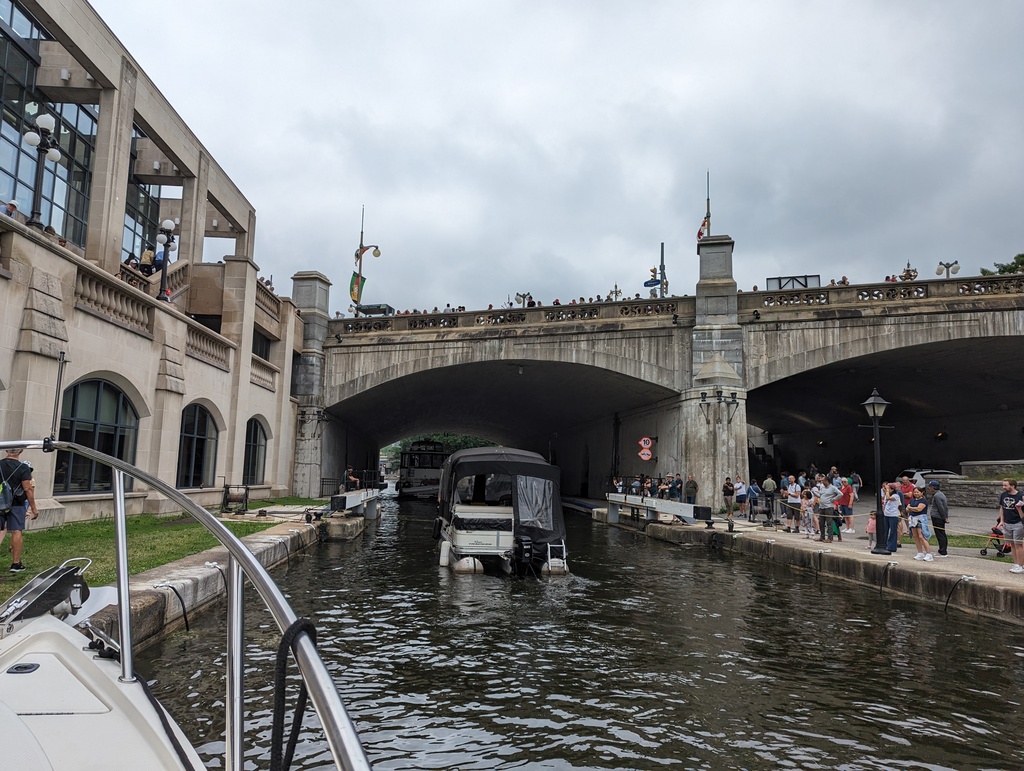
Figure 47: By the time we got to the top, WE were the entertainment!
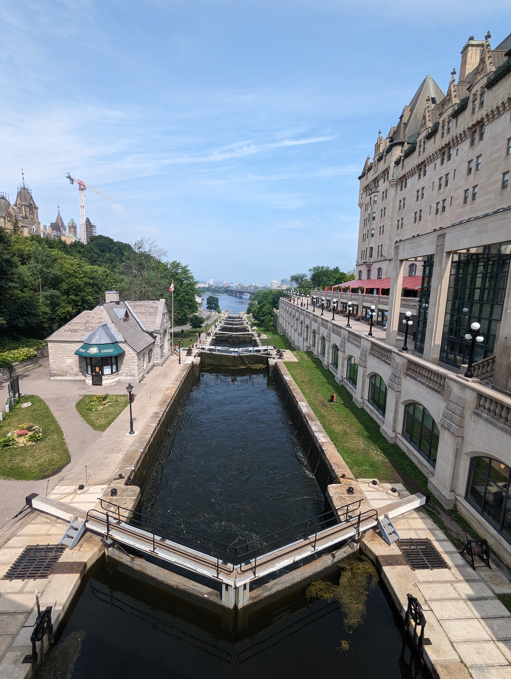
Figure 48: Looking back over the locks from Parliament Bridge
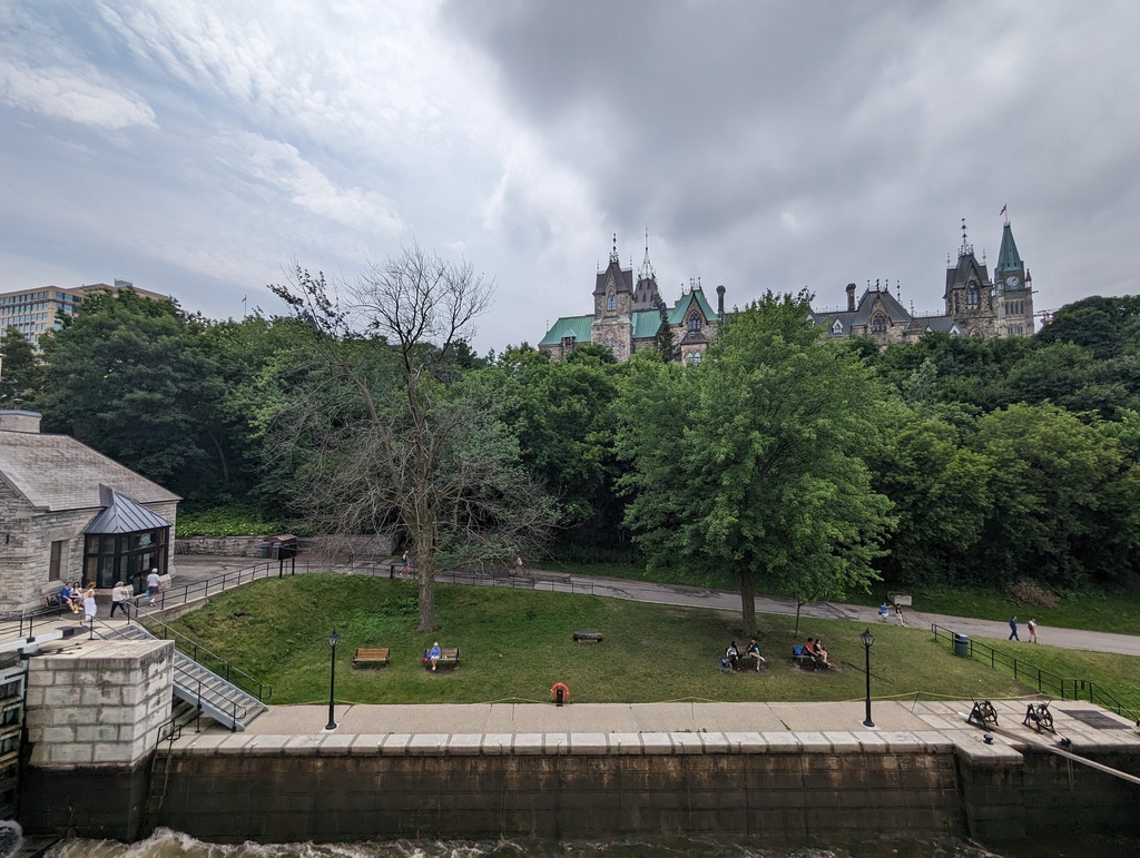
Figure 49: Parliament Hill
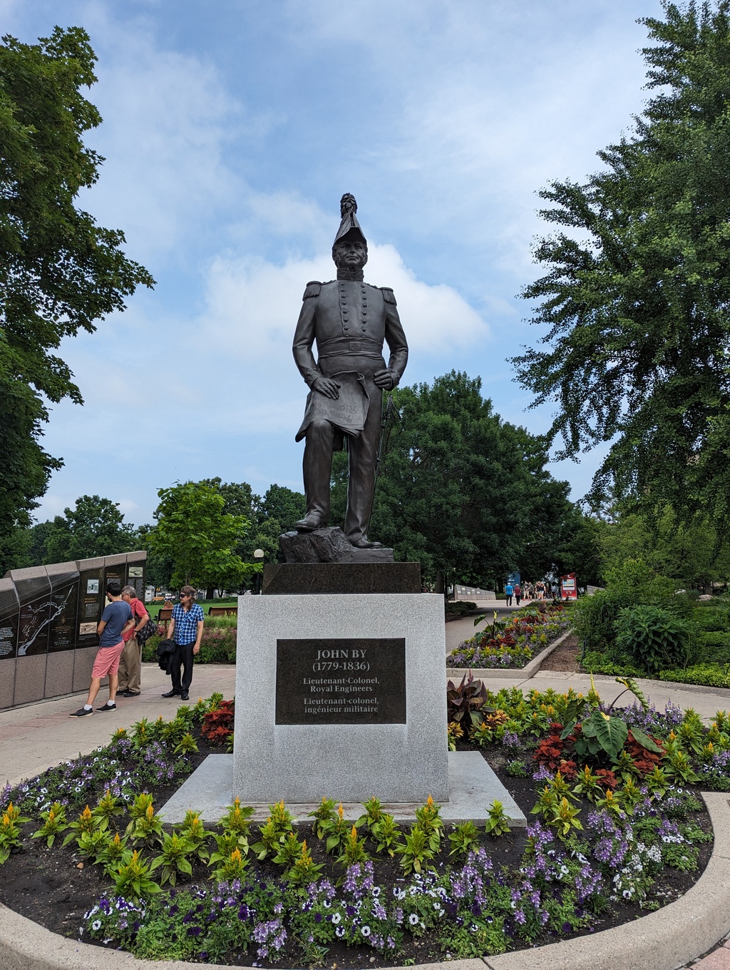
Figure 50: John By built the Rideau Canal
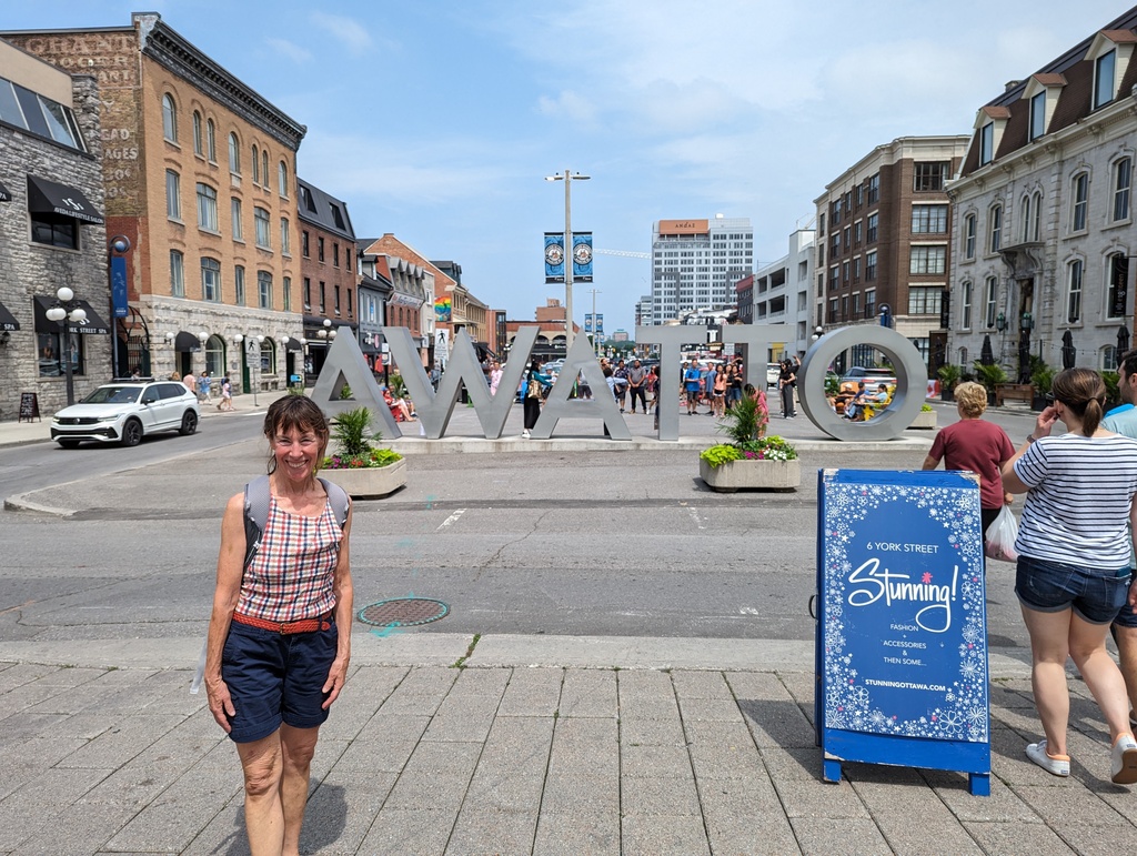
Figure 51: ByWard Market, what does AWATTO mean?
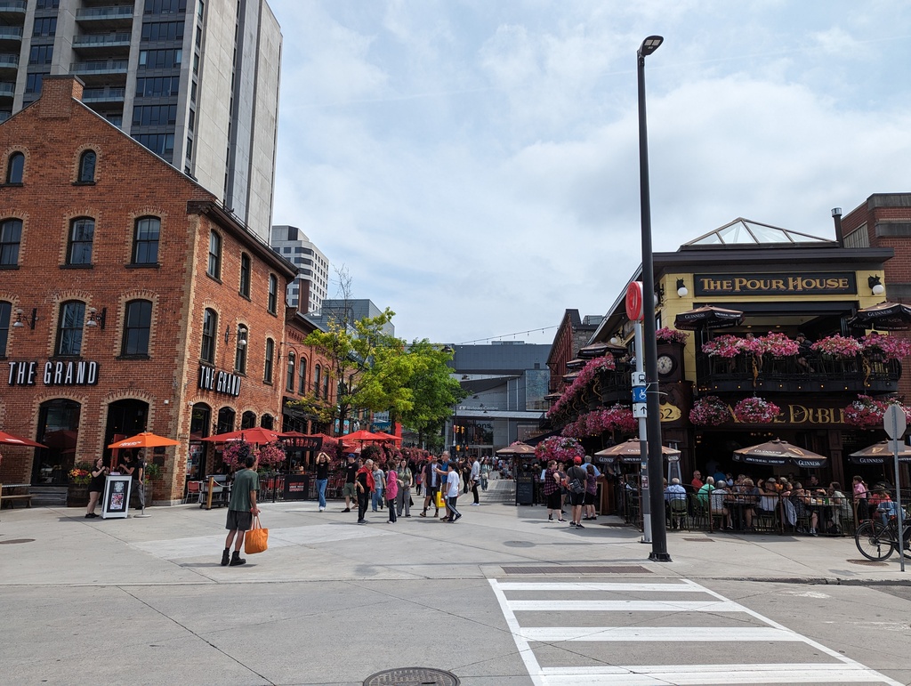
Figure 52: ByWard Market
Figure 53: Random cool Town House
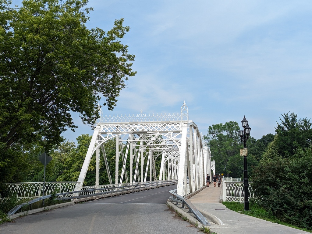
Figure 54: Rideau River
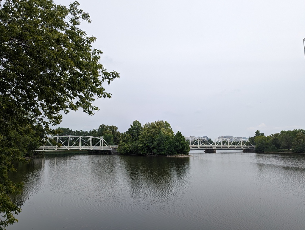
Figure 55: Rideau River
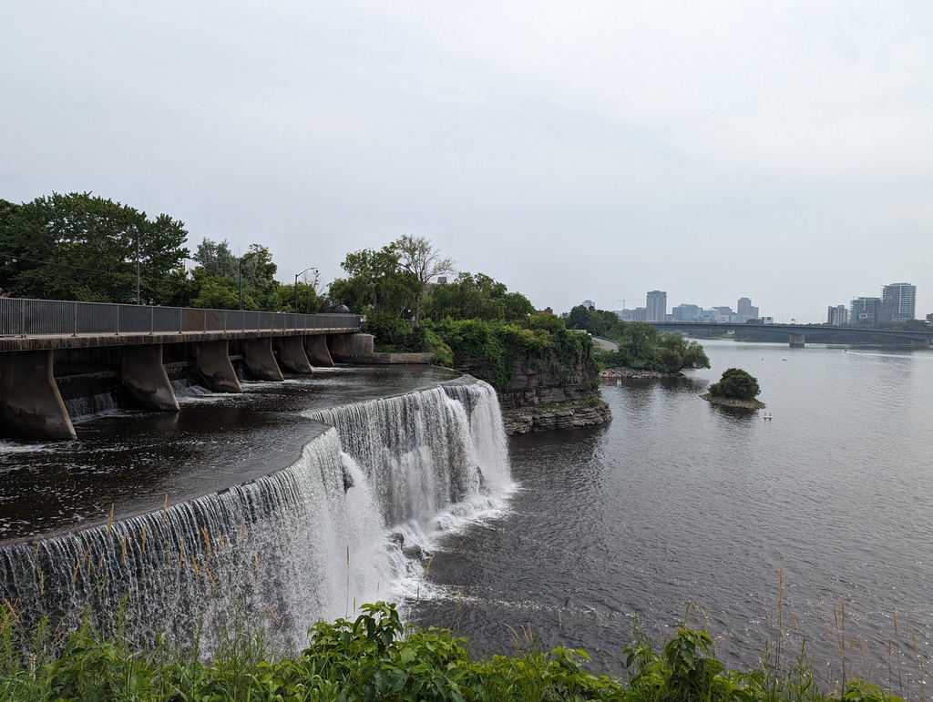
Figure 56: Rideau Falls; locks 1-8 were built to bypass the falls
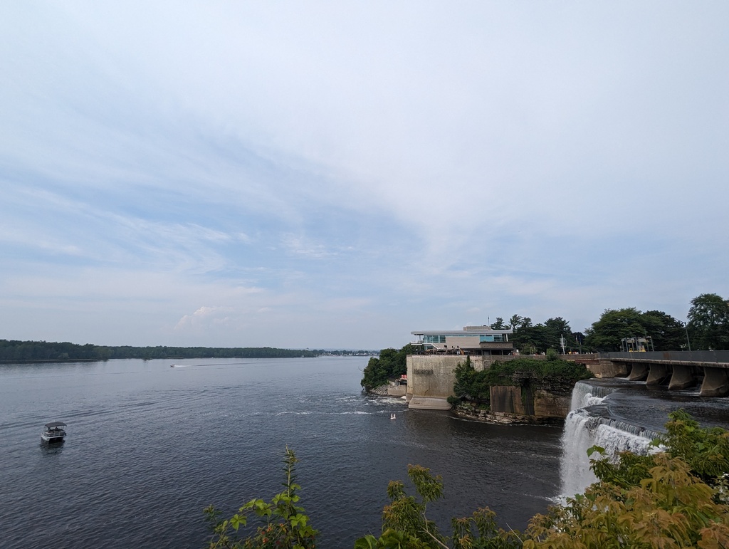
Figure 57: Rideau Falls
Figure 58: Rideau Canal
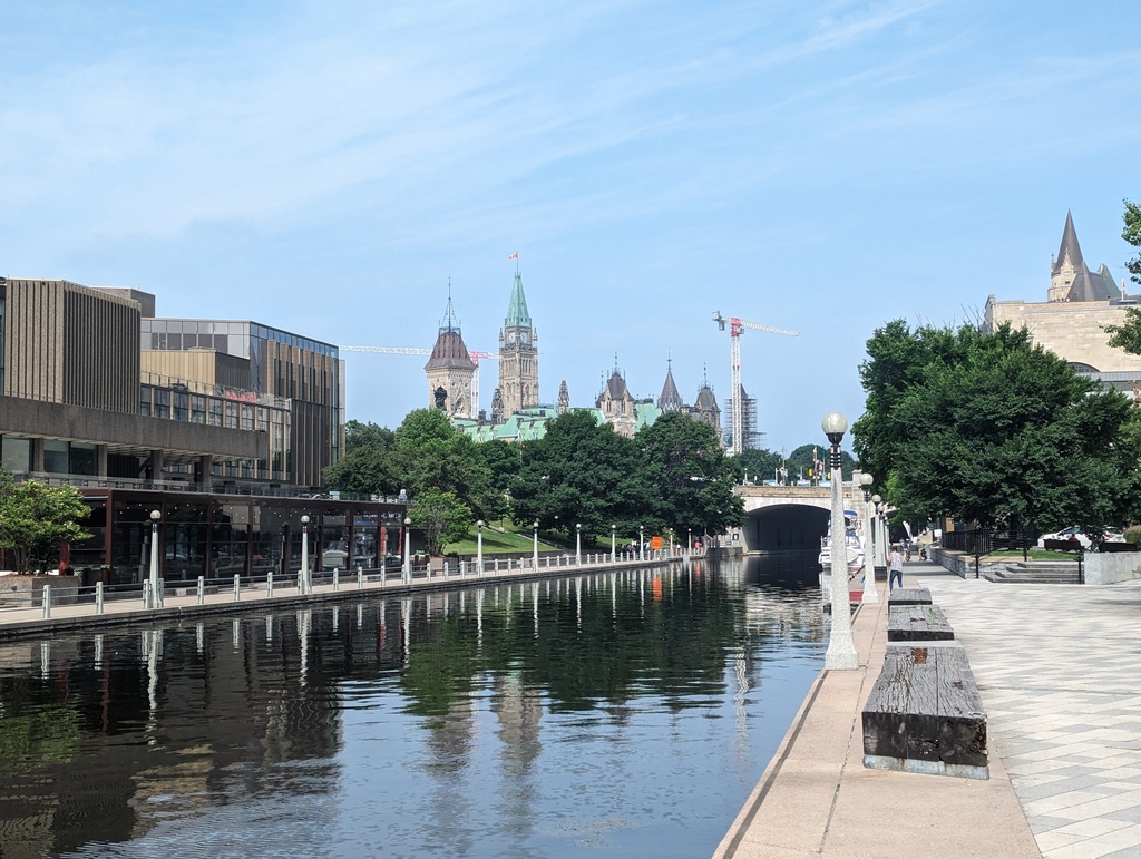
Figure 59: Rideau Canal
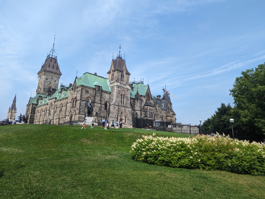
Figure 60: Parliament Hill
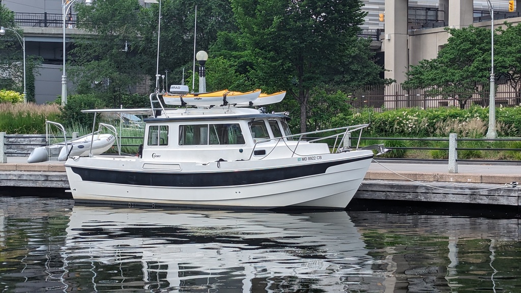
Figure 61: Penguin on the Ottawa free wall
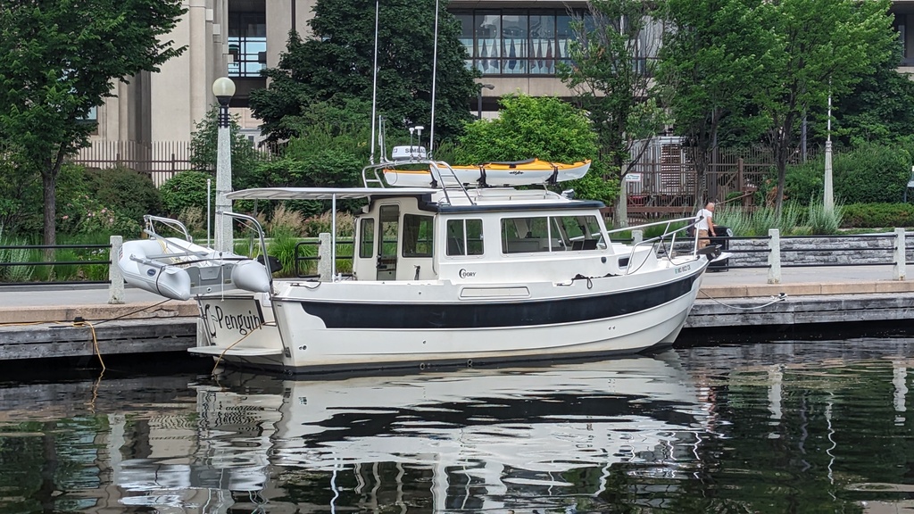
Figure 62: Penguin on the Ottawa free wall
Montréal
Summary
We traveled 55.4 miles on this segment on June 26 and enjoyed Montréal June 26-29.
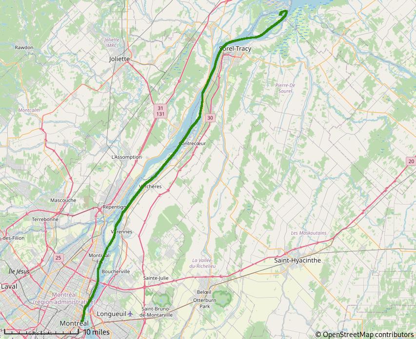
Figure 63: Up the Saint Lawrence River to Montréal
This stop was plagued with rain and camera charging mishaps, so photos are a little sparse. We left Montréal the day the annual jazz festival started, with the hope of making it to Ottawa on Canada Day. In retrospect we should have stayed and enjoyed a few days of street concerts. While we could not traverse the Lachine Canal, we learned Penguin would fit through the first lock and we could have stayed on the upper lock wall with our Parks Canada mooring permit.
Up the Saint Lawrence River
Our trip to Montreal started at the west end of Lac Saint-Pierre and continued up the Saint Lawrence river – against current the whole way.
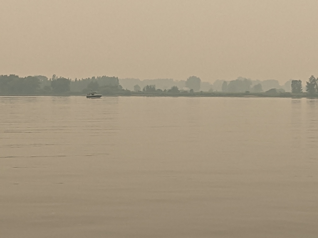
Figure 64: Morning fog on the Saint Lawrence River
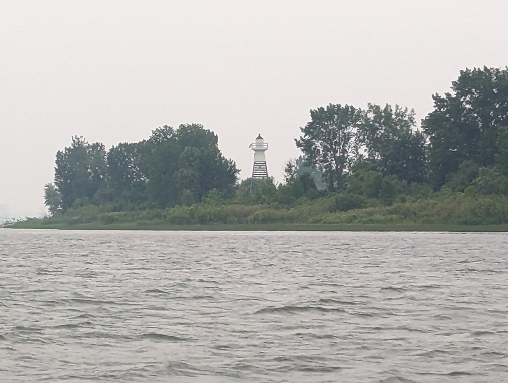
Figure 65: Saint Lawrence River lighthouse
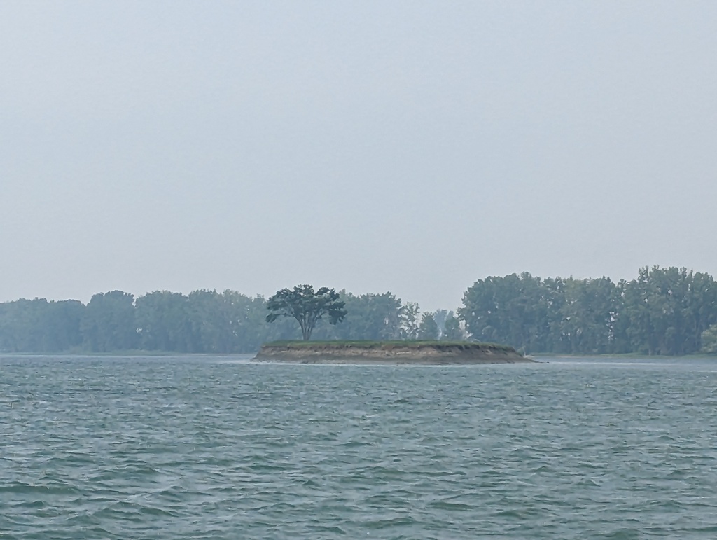
Figure 66: Misty island on the Saint Lawrence River
Montréal
-
Approach
Shipping/industry moved to the suburbs down the Saint Lawrence River as Lachine, the former industrial zone became urbanized. The current really increased in this area.
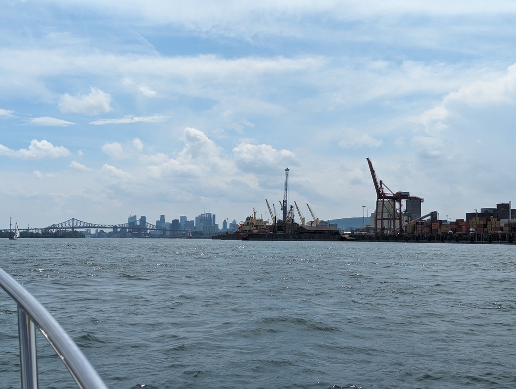
Figure 67: Montréal Commercial Port
-
Old Port
Montreal’s Old Port has morphed into a Tourist/Recreation hub. We stayed at Vieux-Port de Montréal marina at the center of the old port. The Saint Lawrence river is greatly narrowed by the island of Montréal and the current greatly increases. Working up-river into the old port was our most challenging current to date.
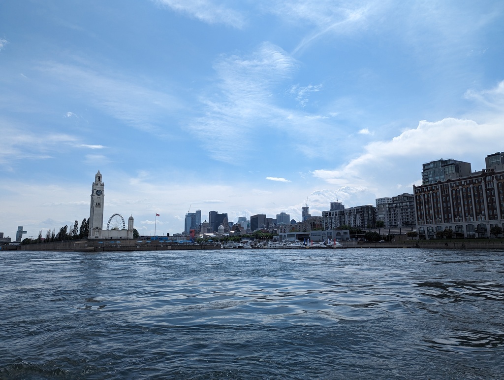
Figure 68: Entry to Montréal old port
Figure 69: 5 knot counter-current approaching Montréal
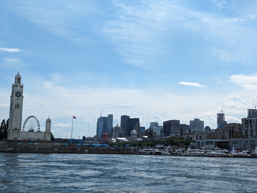
Figure 70: Montréal and the shipping basin
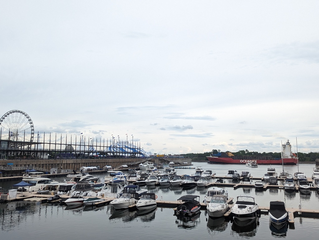
Figure 71: Vieux-Port de Montréal
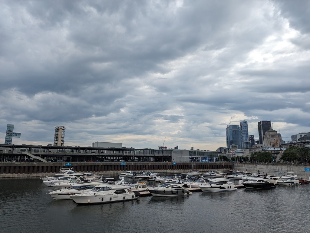
Figure 72: Where’s Penguin?
We spent our time walking around Montreal and exploring the neighborhoods.
-
Lachine
The Lachine Canal, opened in 1825, was the first successful canal to bypass an 8 mile portage around the Saint Lawrence River’s Lachine Rapids above Montreal. The canal significantly contributed Montréal’s industrial appeal; first by eliminating the labor intensive portage, later by hydro-electric power from canal dams. The canal’s success was, ultimately, its undoing – surrounding industrial development did not leave room for expanding canal locks to accommodate ever increasing freighter size. Completion of the Saint-Anne de Bellevue Canal, part of the Saint Lawrence Seaway, in the 1950s began the Lachine’s decline – by the 1970’s the canal was shut down. Parks Canada reopened the Lachine in 2002 as a Canadian Heritage Canal. Unfortunately, a number of fixed bridges built over the closed canal require users to have an air draft of less than 8 feet. Without removing equipment, Penguin has an air draft of 13’, so we were unable to travel the Lachine.
Figure 73: Lachine Canal
Figure 74: Lachine Canal
Figure 75: Lachine Canal
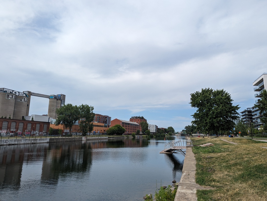
Figure 76: Lachine Canal
-
Old Town
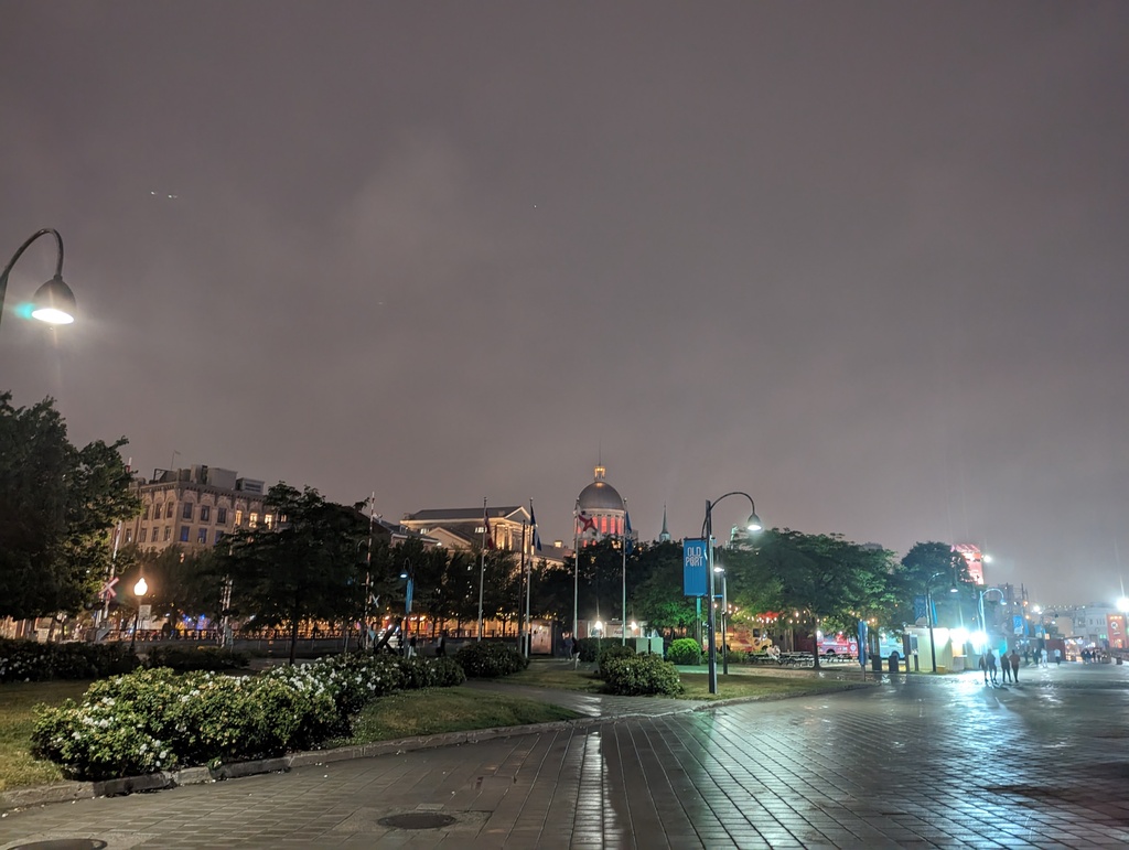
Figure 77: Old Town Montreal
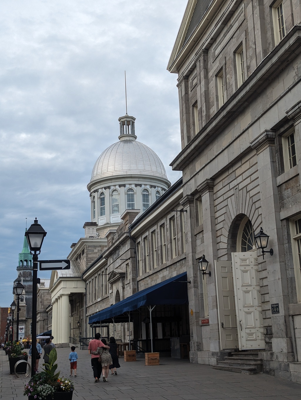
Figure 78: Bonsecours Market
-
Little Burgundy
The Grinder Bucher had a dry-aging refrigerator making for interesting window shopping. We returned to the associated Grinder Restaurant for dinner on the next evening.
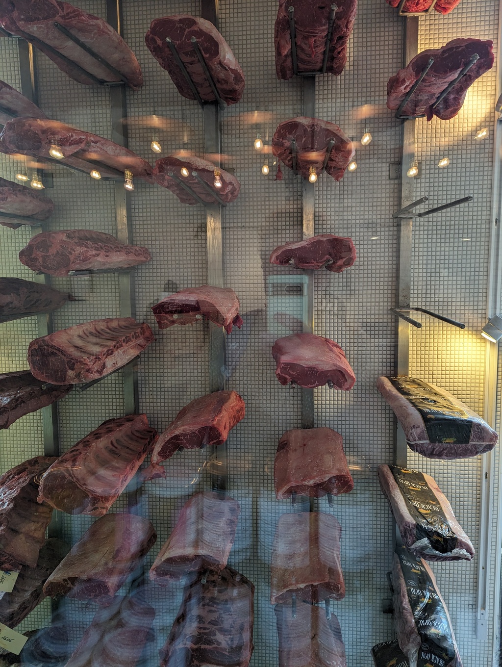
Figure 79: Boucherie Grinder, Little Burgundy
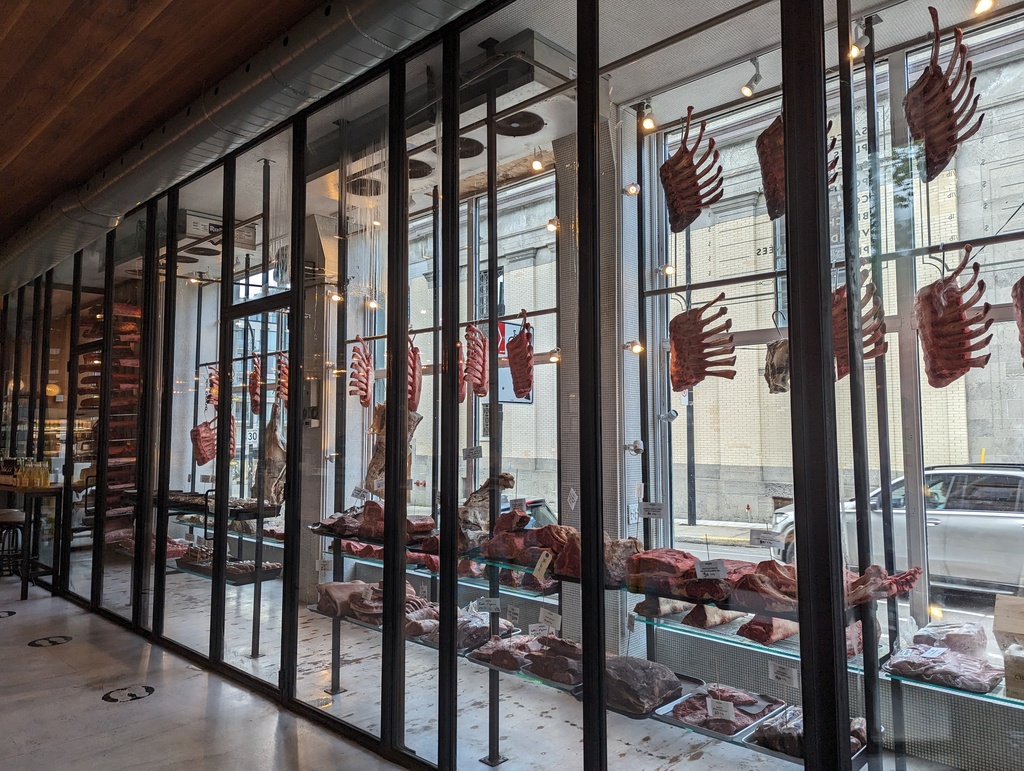
Figure 80: Boucherie Grinder, Little Burgundy
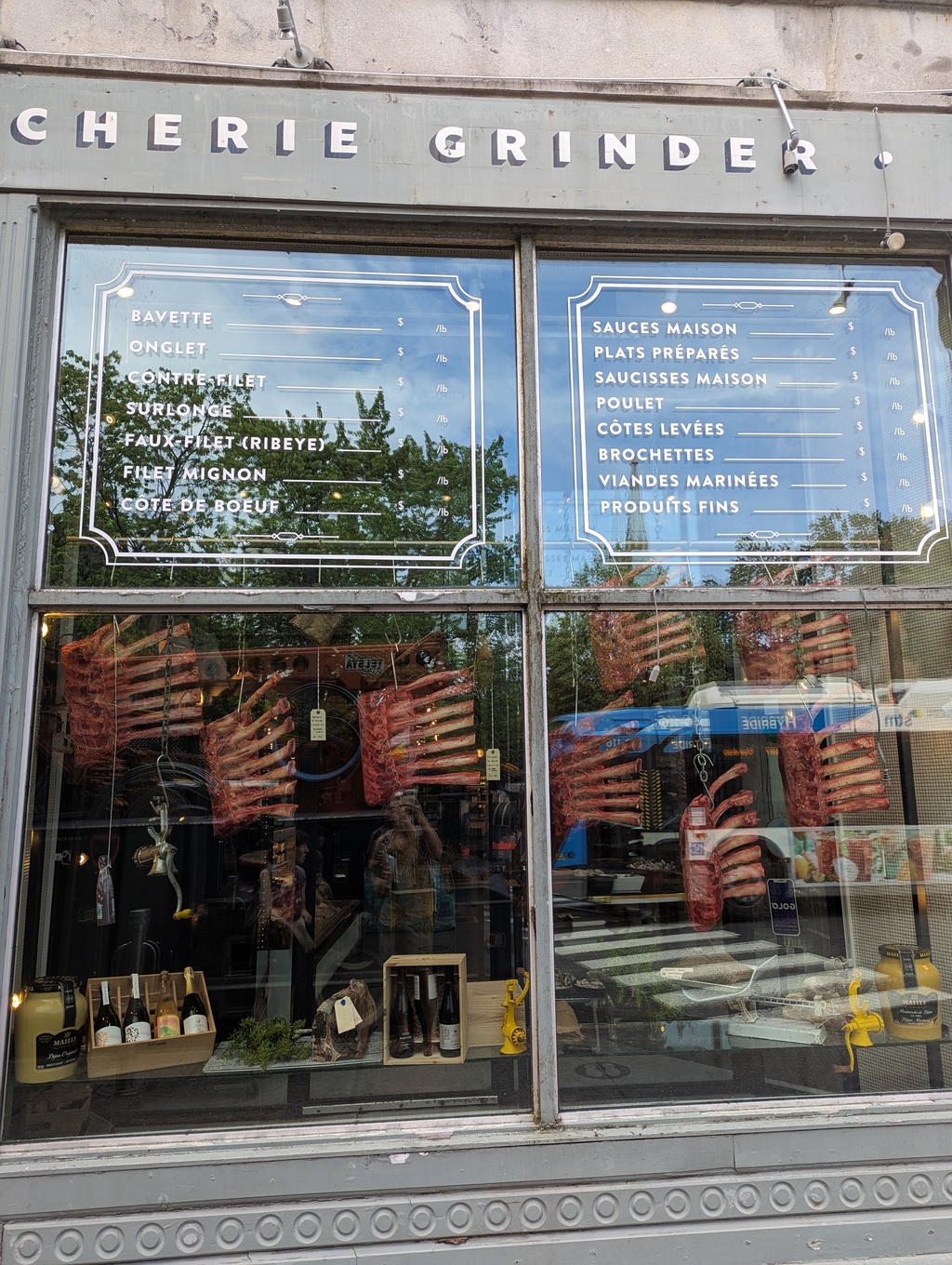
Figure 81: Boucherie Grinder, Little Burgundy
-
Mount Royal
Montréal is the namesake for Mount Royal – Mont Réal, in French. The Grand Staircase ascends the steep east face of Mount Royal in 400 steps. Kondiaoronk Belvedere offers panoramic views of the city below. We managed to arrive in between rain!
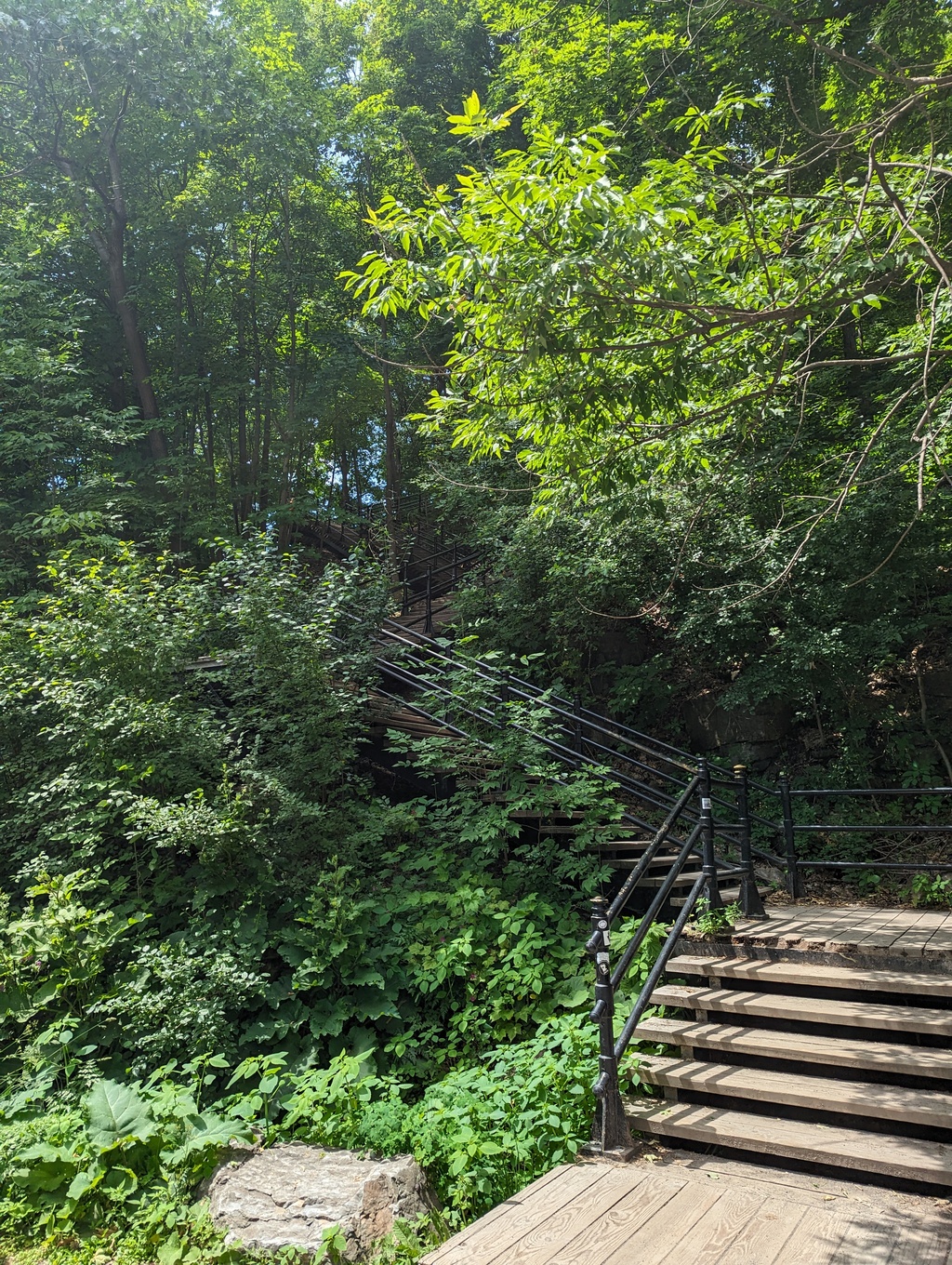
Figure 82: Grand Staircase, Mount Royal
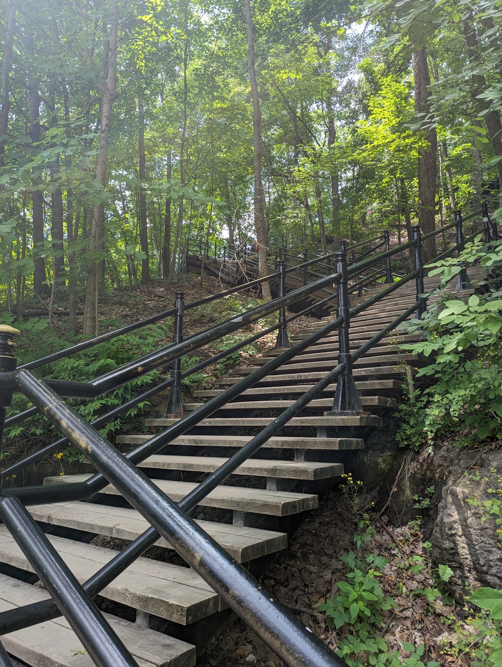
Figure 83: Grand Staircase, Mount Royal
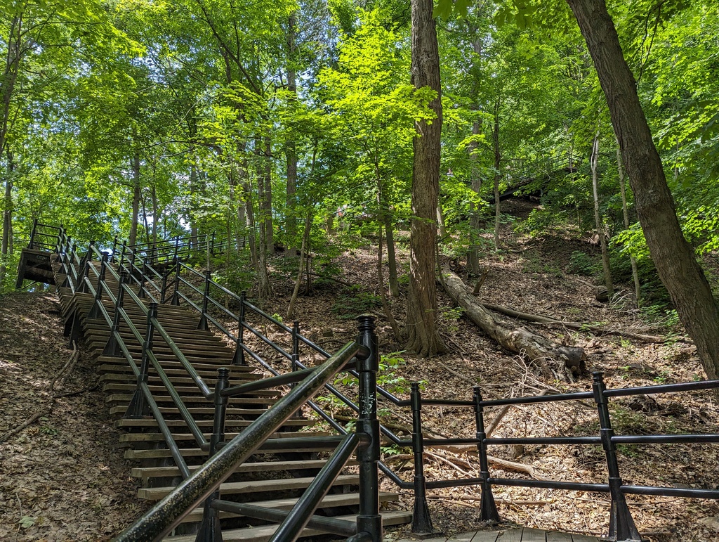
Figure 84: Grand Staircase, Mount Royal
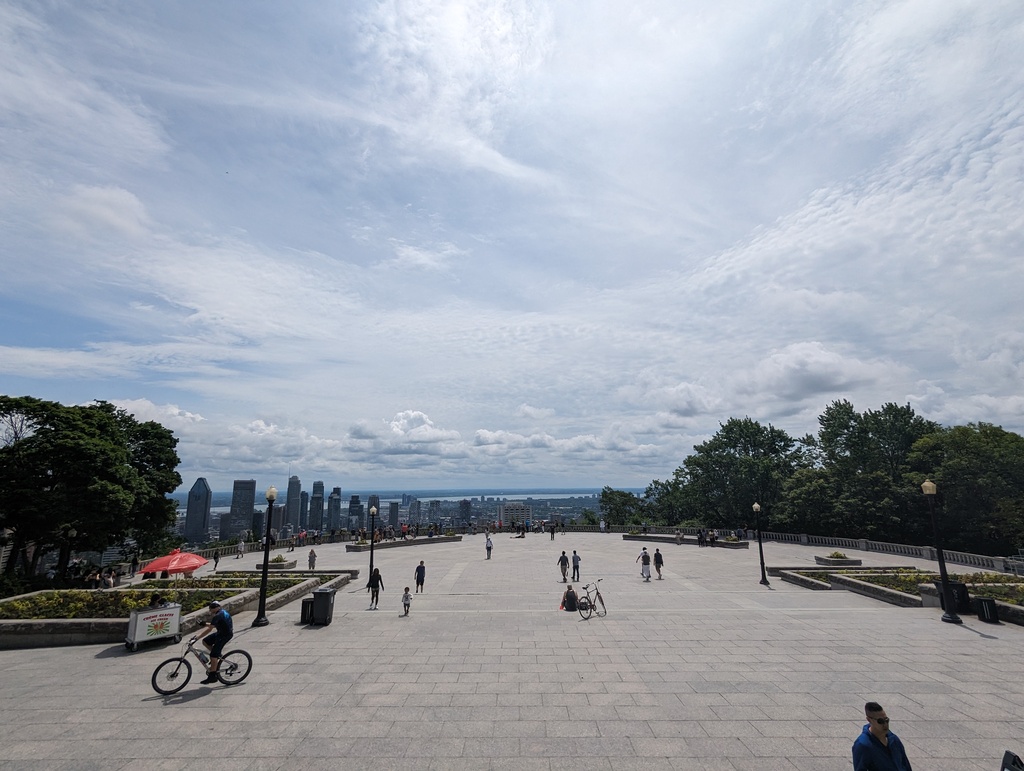
Figure 85: Kondiaronk Belvedere, Mount Royal
I’m the kind of guy who waits around until the photo I want is people-less. And, its almost like those occupying my otherwise perfect photo KNOW. Why else would they decide to whip out their map and study it WHILE RUINING MY PHOTO? Well, Google Photos offers a solution – magic eraser. Magic eraser automatically identifies people (or just one person…) and removes them. Or, one can circle areas for magic eraser to remove. Here is an example, before and after magic eraser:
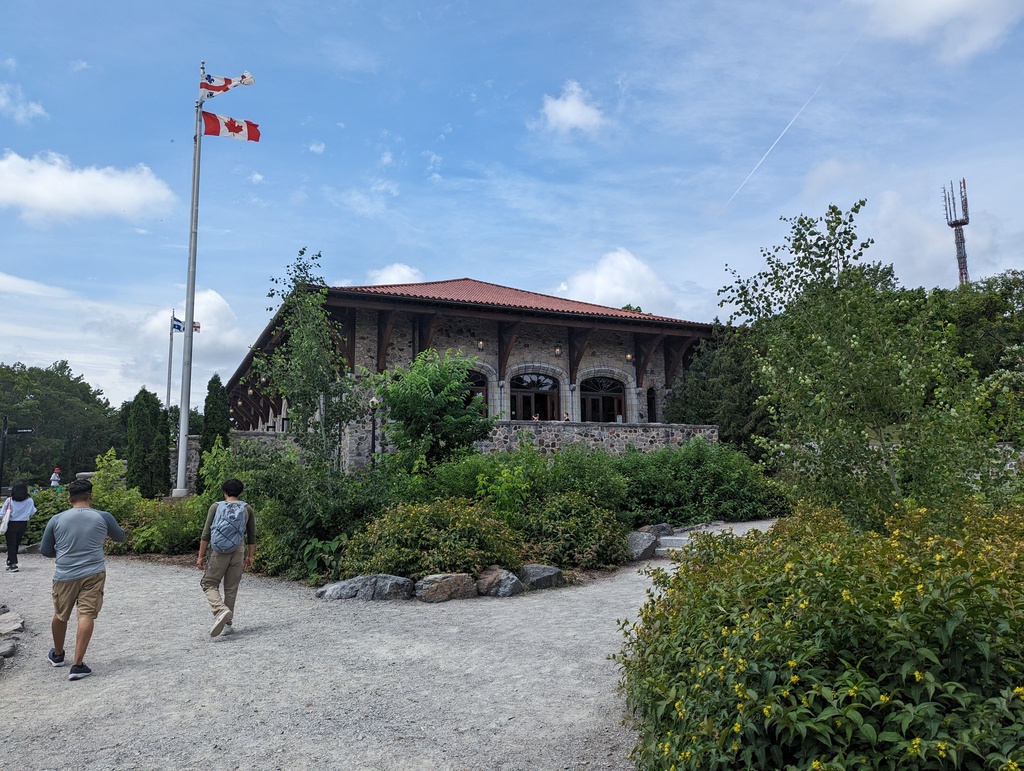
Figure 86: Mount Royal Chalet (before)
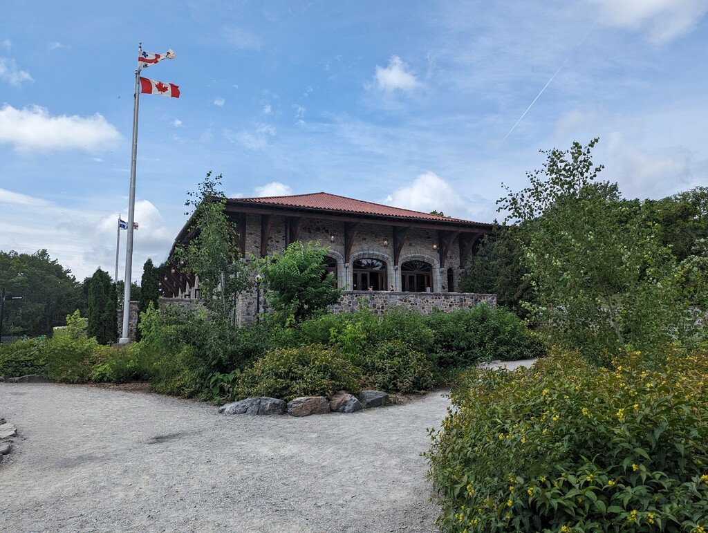
Figure 87: Mount Royal Chalet (after)
-
Latin Quarter
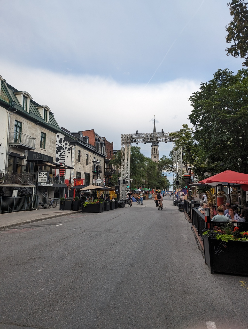
Figure 88: Latin Quarter, Montreal
-
Saint Pierre Sighting
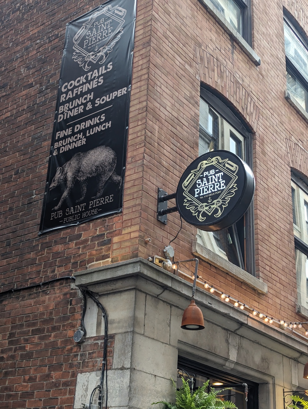
Figure 89: Pub Saint Pierre
Figure 90: Pub Saint Pierre
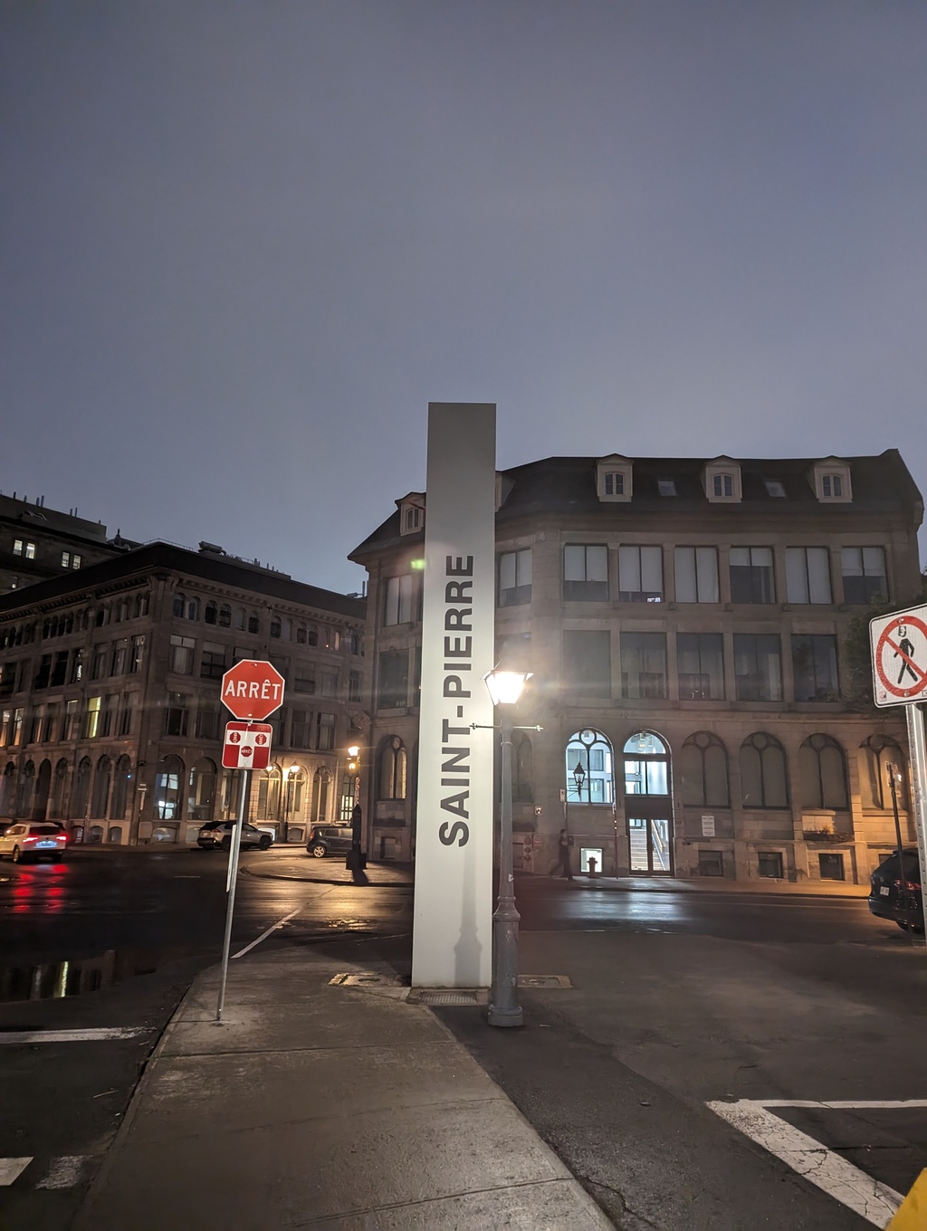
Figure 91: A random Saint Pierre
Figure 92: Another random Saint Pierre
Quebéc City
Summary
We traveled 131 miles on this segment between June 21-22 and enjoyed Québec City between June 22-25.
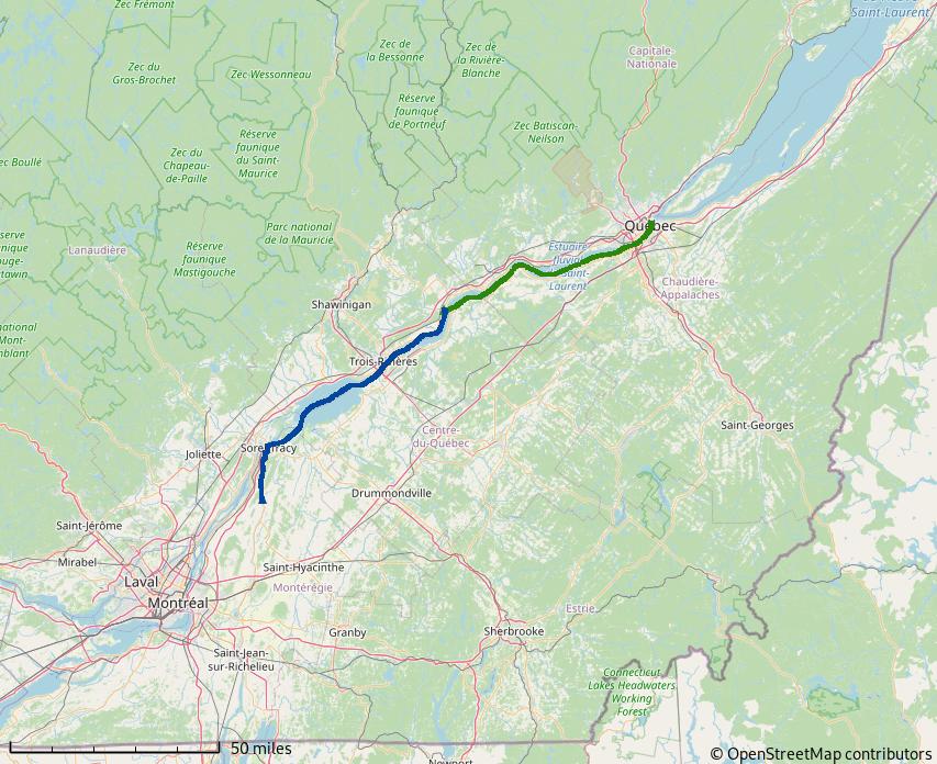
Figure 93: Side Trip to Québec City
Side Trip to Québec City
From Saint Ours Lock, we continued down the Richelieu to where it meets the Saint Lawrence River, Sorrel. From Sorrel, the Saint Lawrence flows toward the Atlantic Ocean until Trois-Rivières, where tidal currents begin to take effect.
-
Batiscan River
The Batiscan River offered a nice anchorage out of the Saint Lawrence and close enough to Québec for an early arrival on the next day. Once anchored, we kayaked on the river.
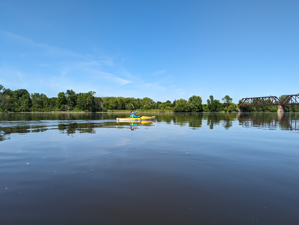
Figure 94: Batiscan River
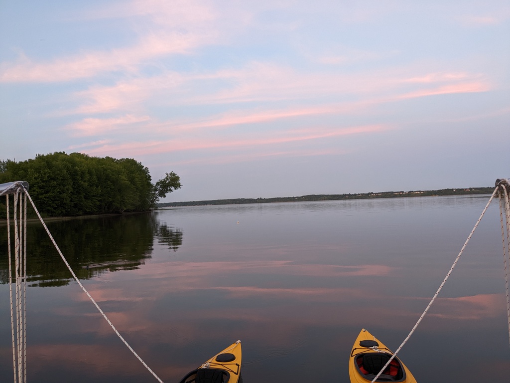
Figure 95: Dusk, Batiscan River
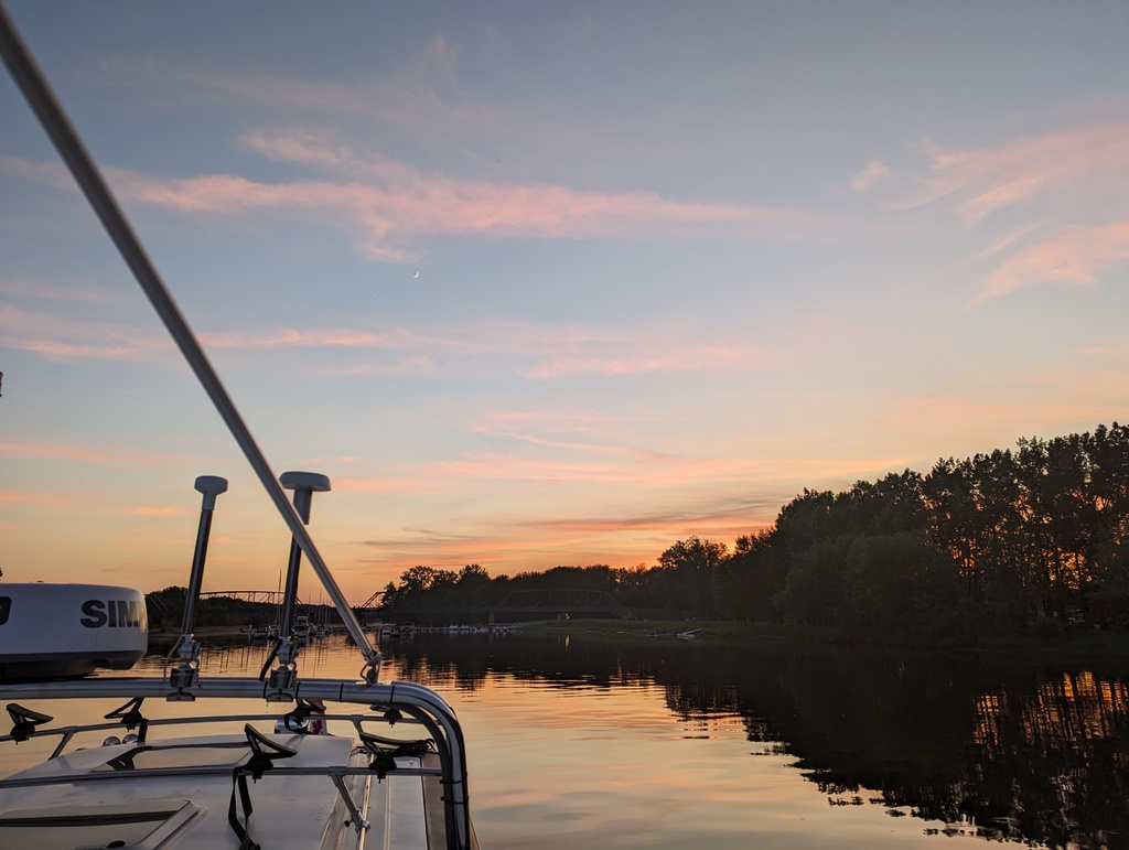
Figure 96: Sunset, Batiscan River
-
Québec City
The name Québec was derived from the Algonquin indigenous word for “where the river narrows”. The narrow river and cliffs offered a strategic location to protect and consolidate the trade of beaver pelts from Ottawa River and beyond. Québec is divided into lower town, offering convenient water access, and an upper town, providing natural fortification. Figure 97 from 1688 illustrates Québec’s lower, trade, and upper, fortification, towns.
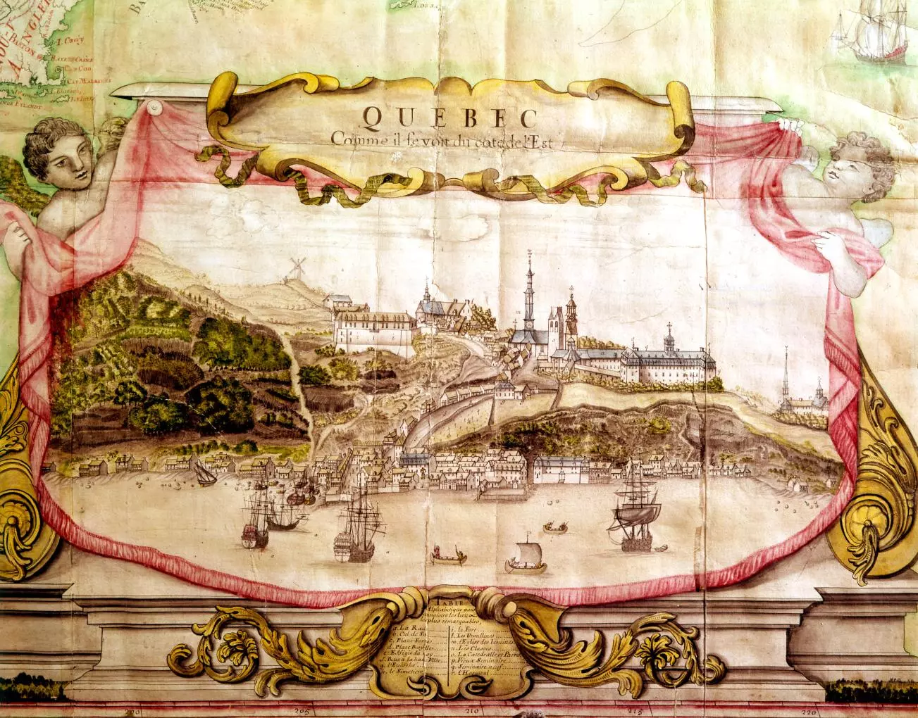
Figure 97: Quebéc City, 1688
Lower and upper town are still apparent from the Saint Lawrence river
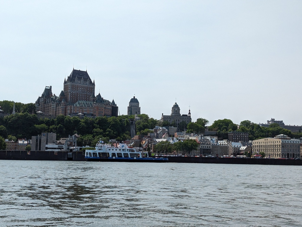
Figure 98: Québec City from the Saint Lawrence
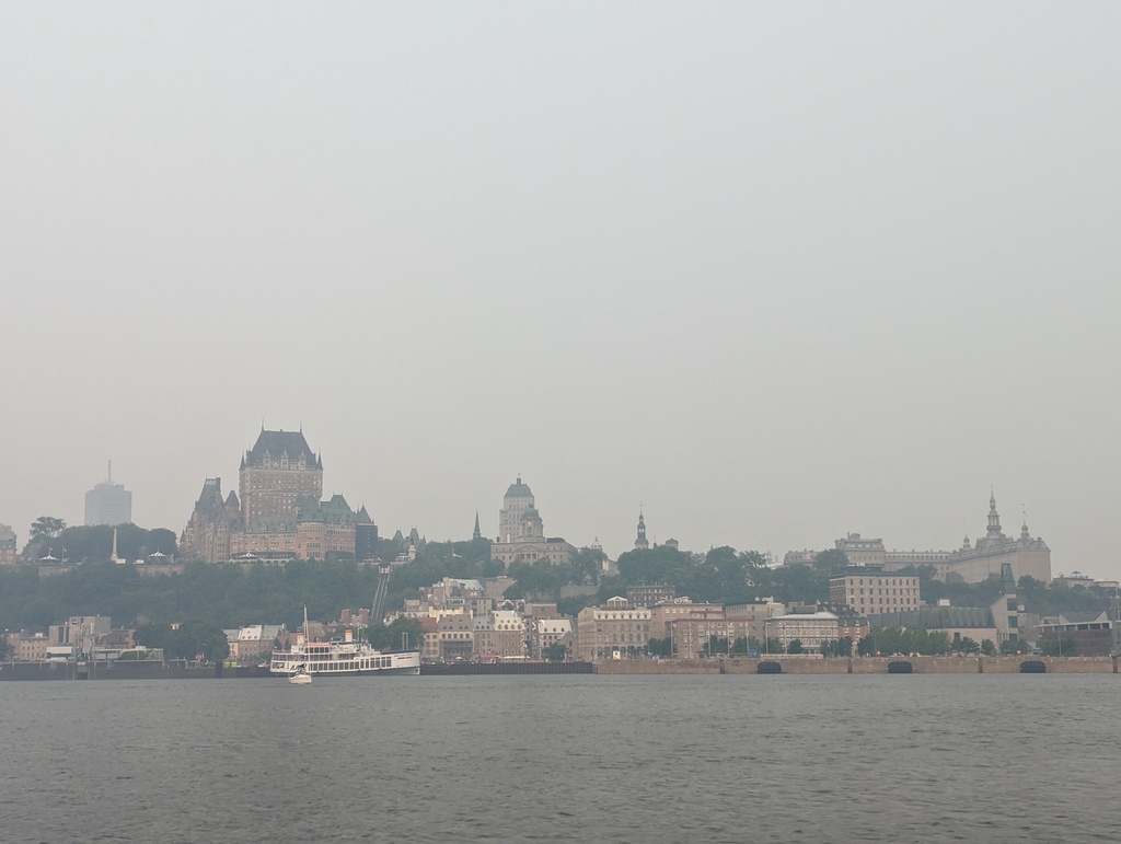
Figure 99: Québec City from the Saint Lawrence
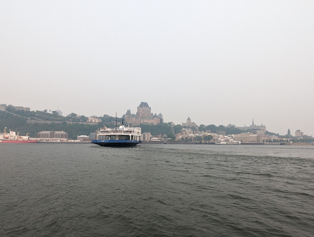
Figure 100: Québec City from the Saint Lawrence
-
Basin Louise
Basin Louise was built in the late 19th century at the junction of the Saint Charles and Saint Lawrence rivers to modernize Québec’s declining port. A lock provides access to the basin, controlling water depth from the river’s tidal change.
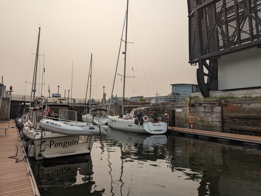
Figure 101: Lock access to Basin Louise
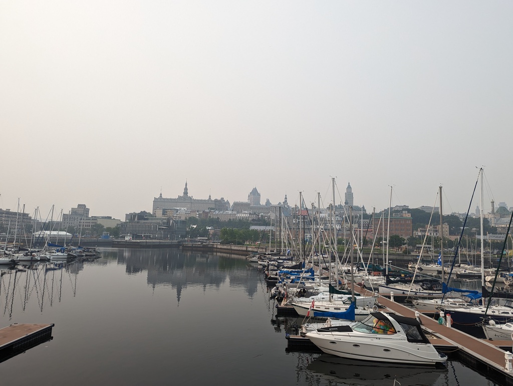
Figure 102: Québec City in morning fog from Basin Louise
Figure 103: Québec City from Basin Louise
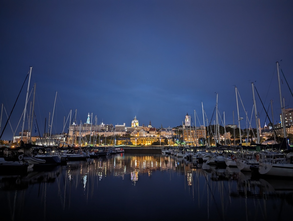
Figure 104: Québec City at night from Basin Louise
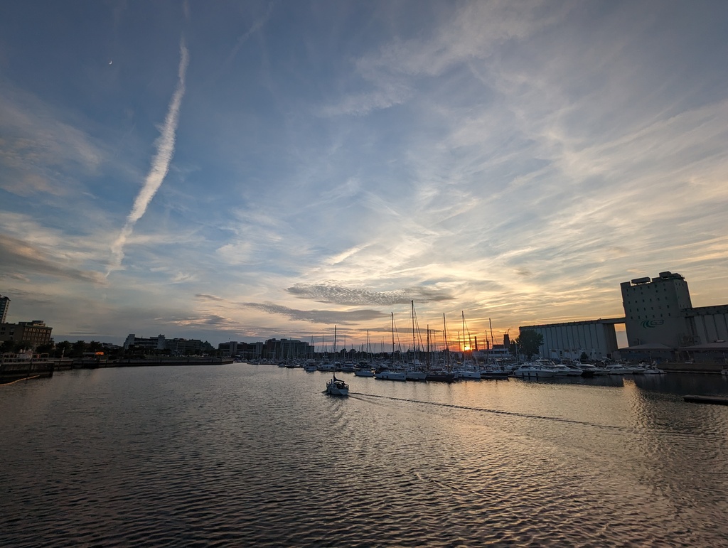
Figure 105: Sunset at Basin Louise with grain silos
Figure 106: Lower Town and Basin Louise with grain silos
Figure 107: Basin Louise sunset
-
Lower Town
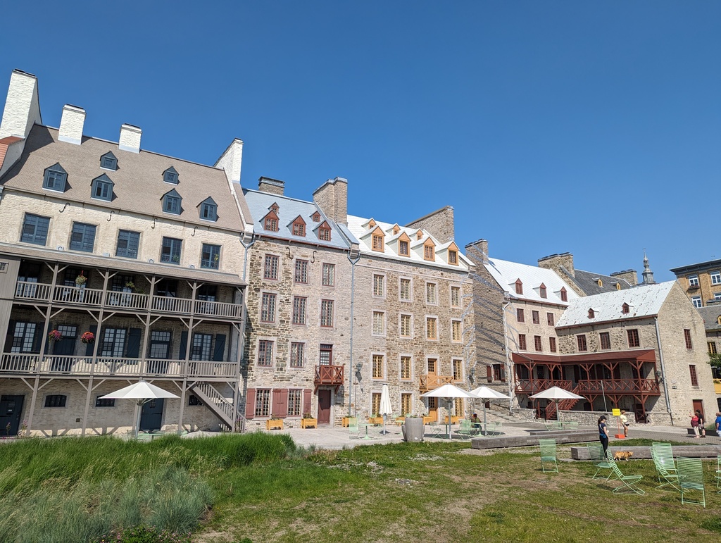
Figure 108: Place des Canotiers
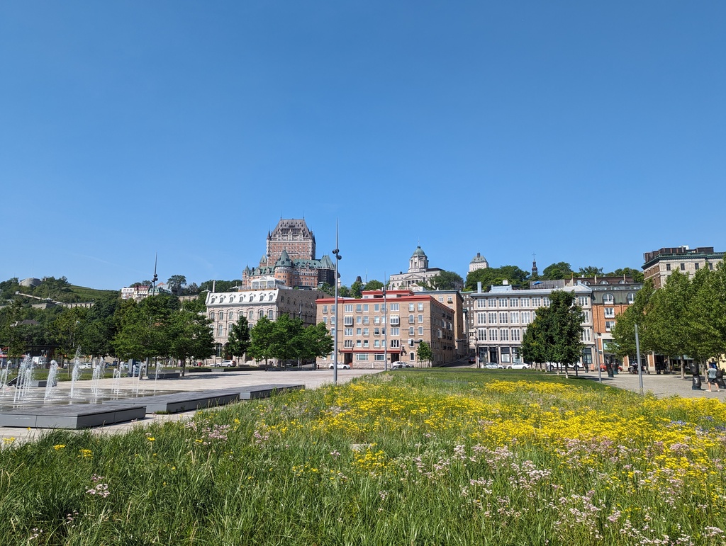
Figure 109: Upper Town from Place des Canotiers
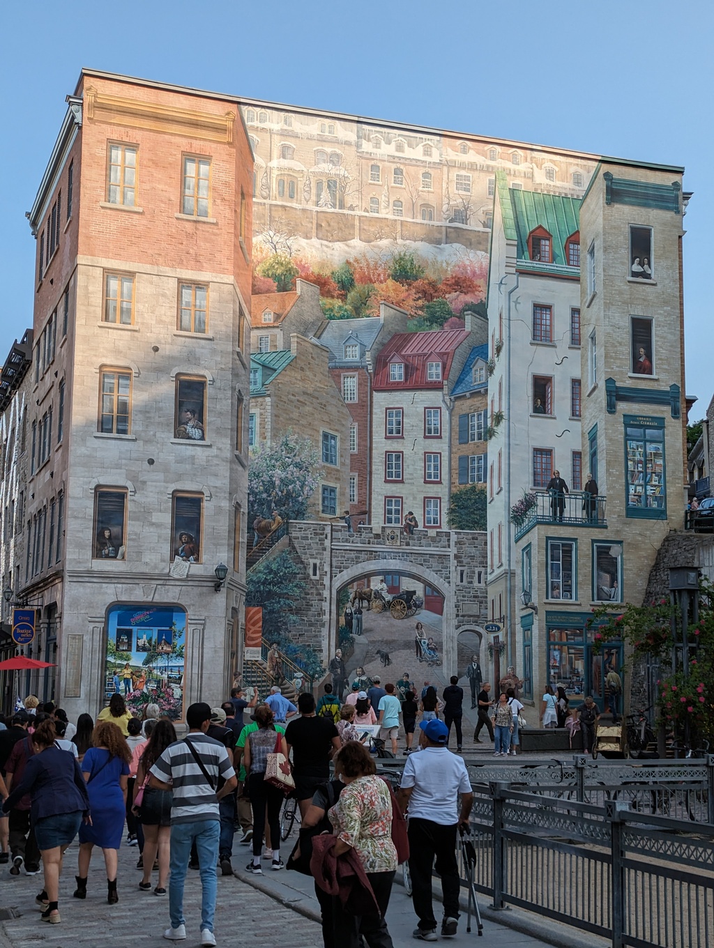
Figure 110: Québec City Mural
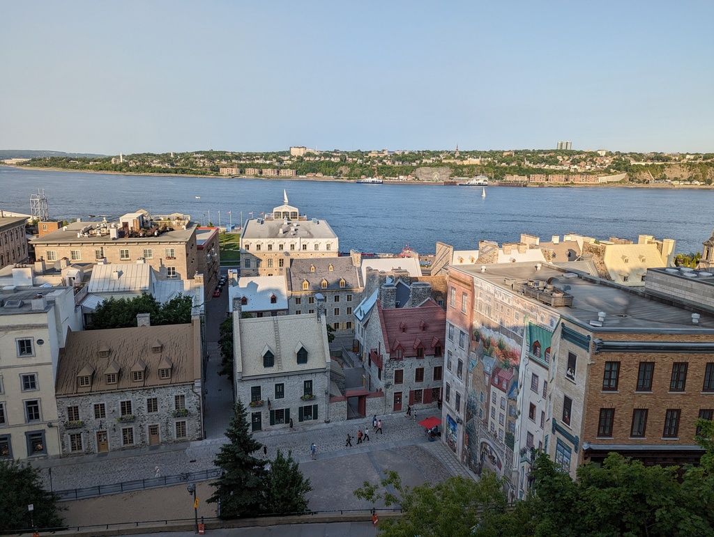
Figure 111: Québec City Mural and Lower Town
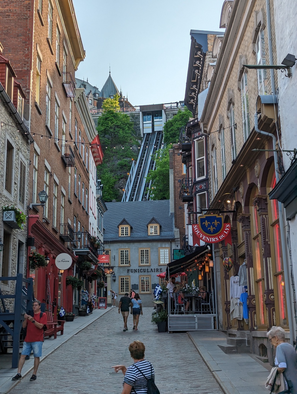
Figure 112: Funiculaire du Vieux
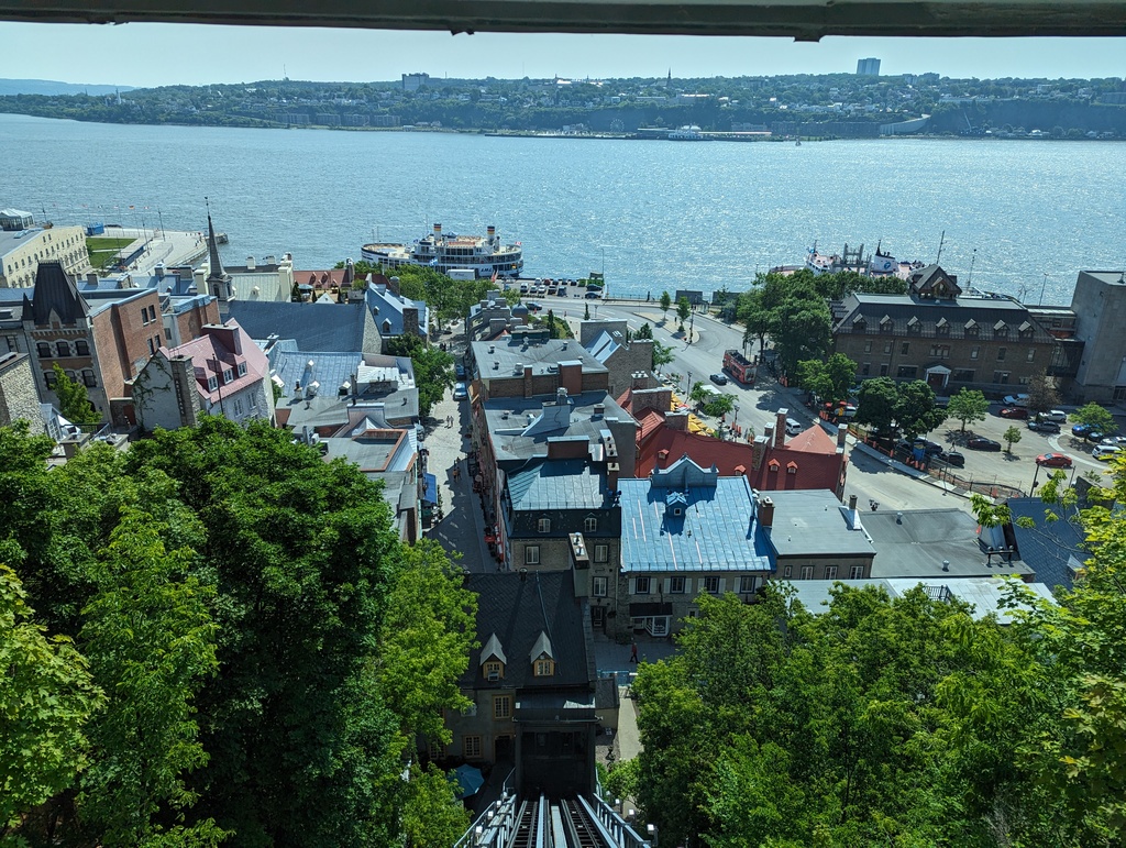
Figure 113: Lower Town from the Funiculaire du Vieux
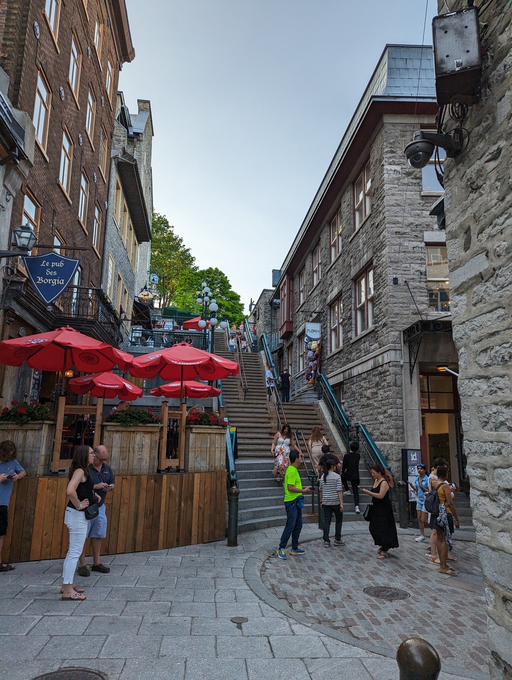
Figure 114: Escalier Casse-Cou (Breakneck Steps)
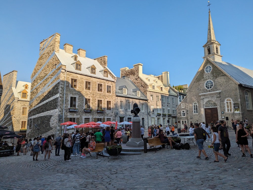
Figure 115: Place Royal
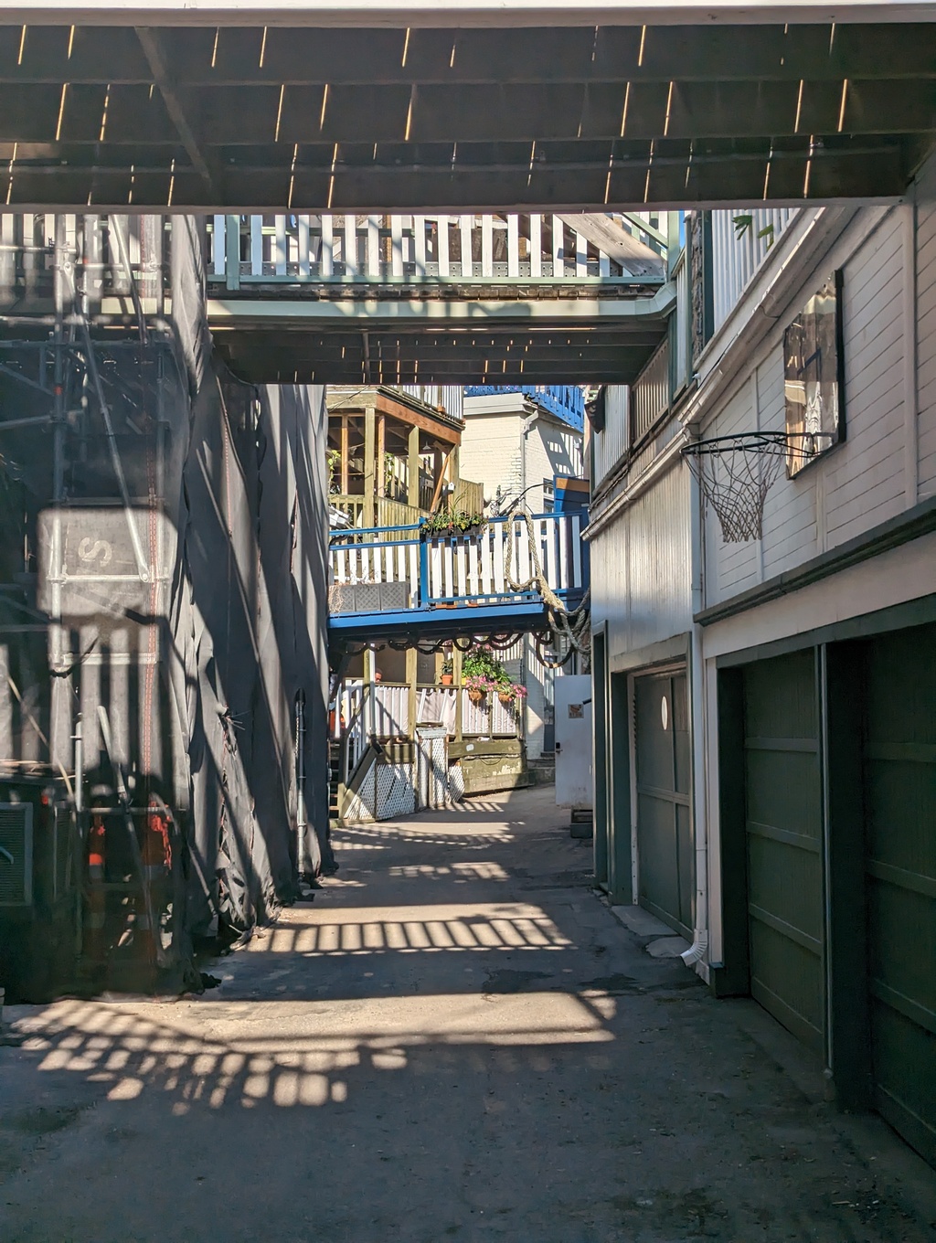
Figure 116: Rue Sous-le-Cap
Figure 117: Passerelle de la Tortue over the Saint Charles River
-
Upper Town
Figure 118: Saint Lawrence River from Upper Town
Figure 119: Looking down the Saint Lawrence from Promenade des Gouverneurs
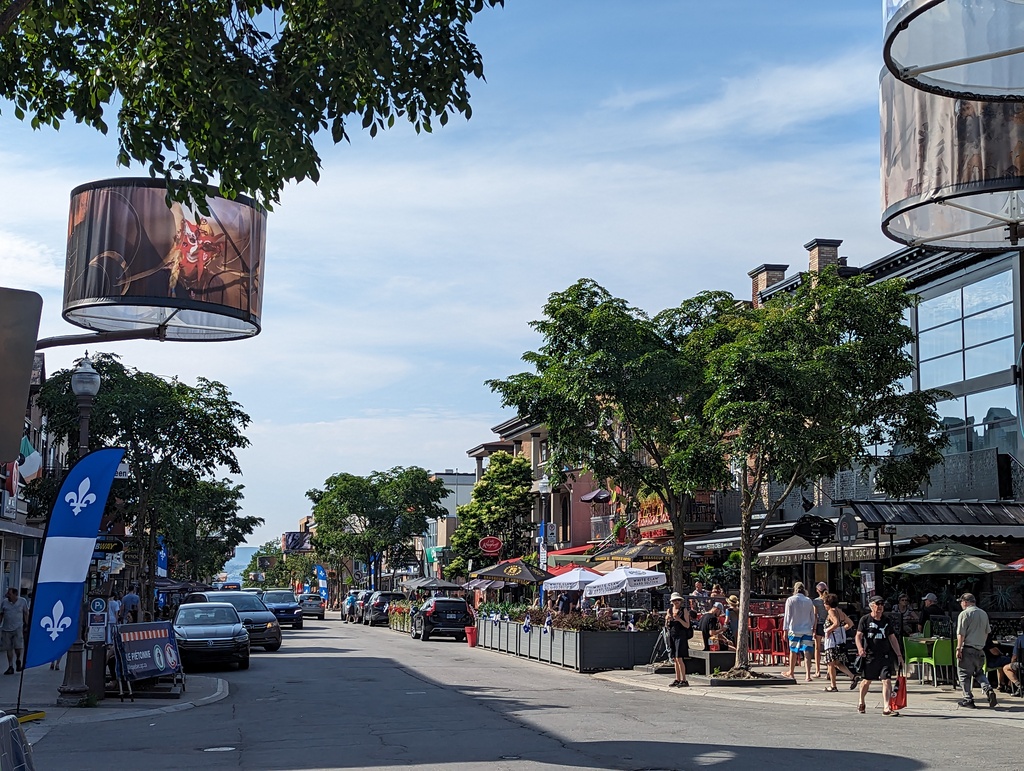
Figure 120: Avenue Cartier, Montcalm
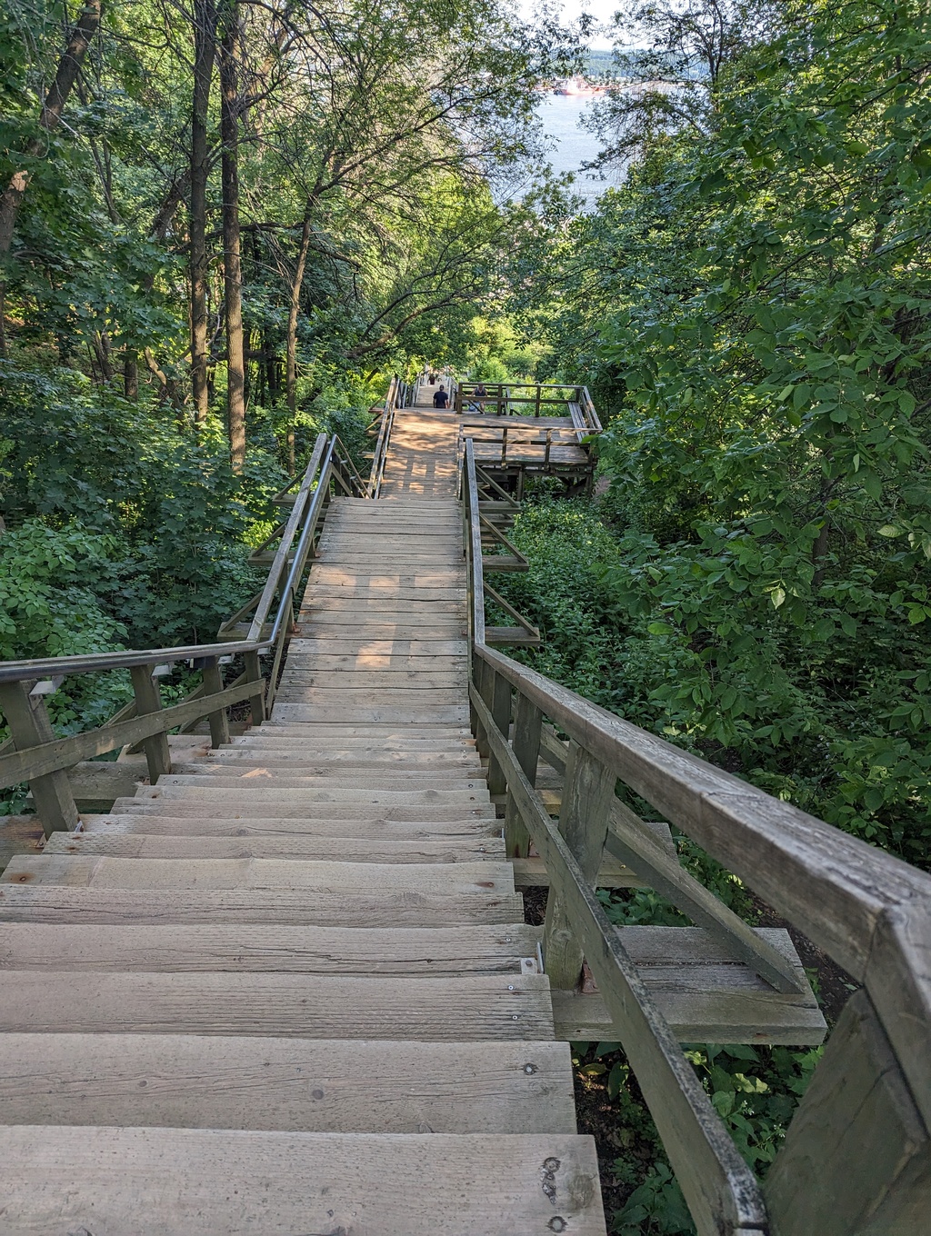
Figure 121: Cap-Blanc Stairs, Plains of Abraham down to Cap-Blanc
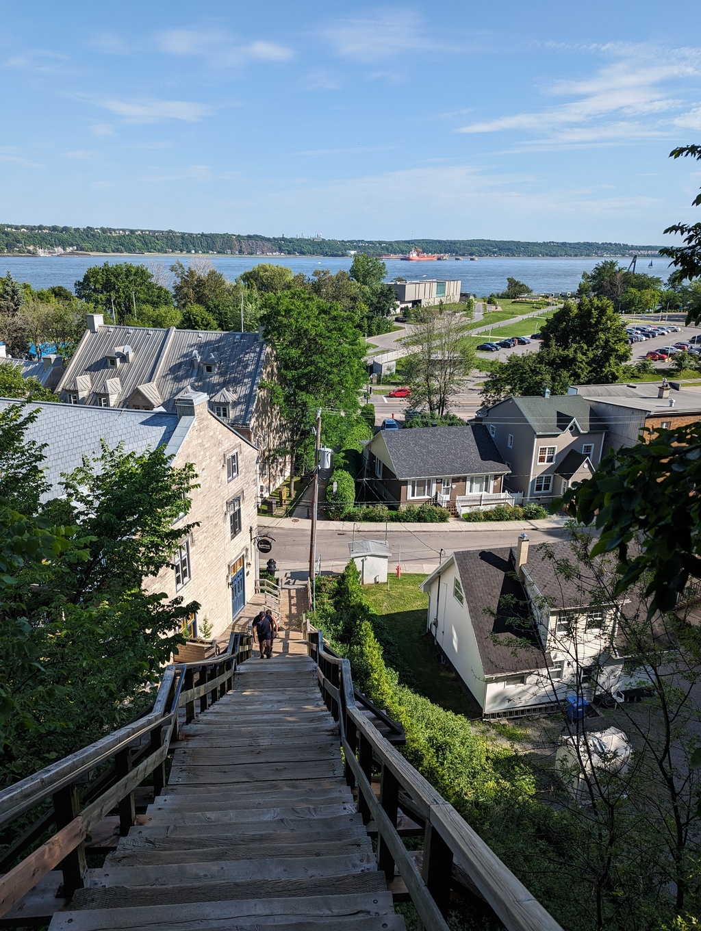
Figure 122: Cap-Blanc, Québec City
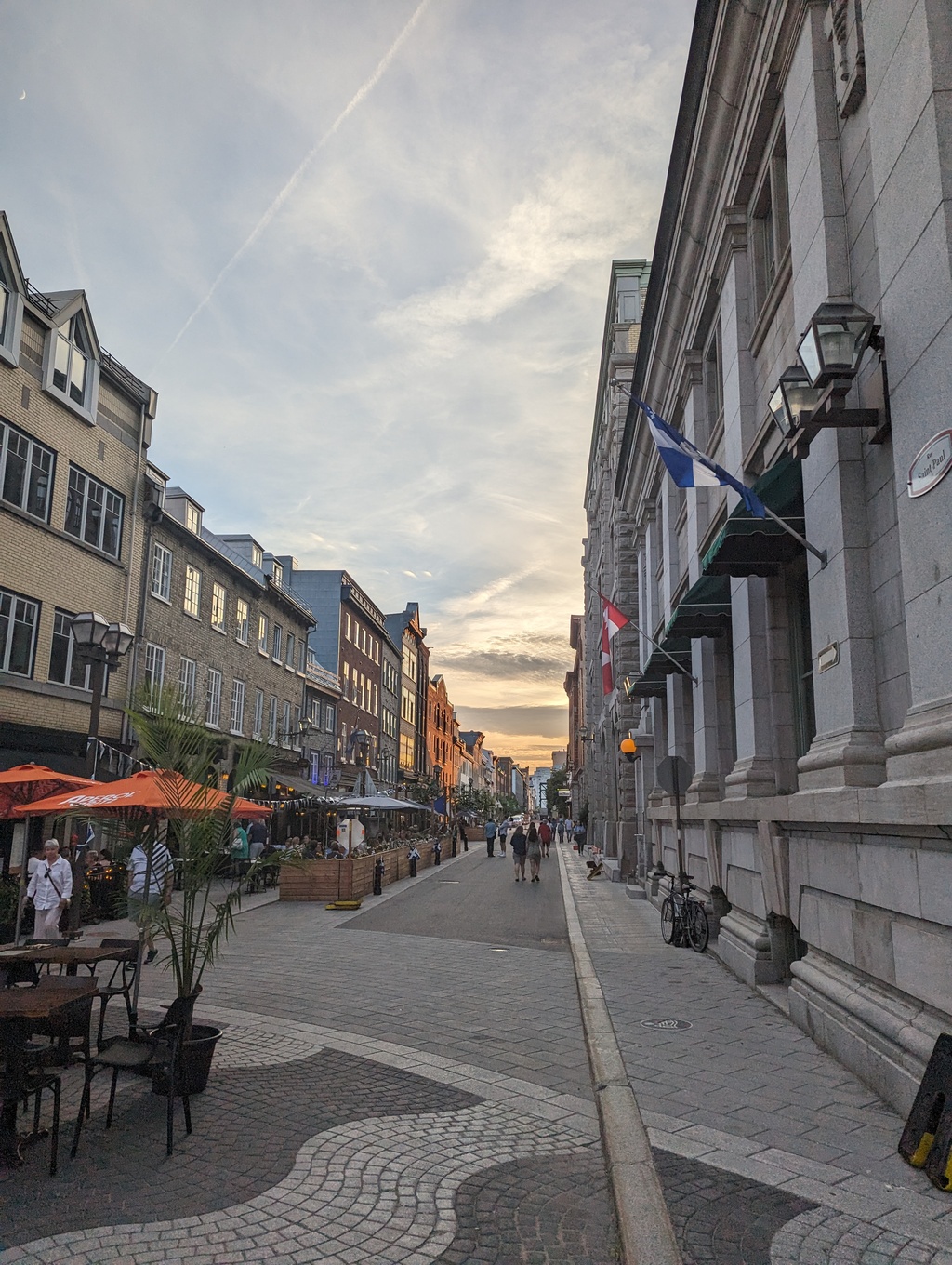
Figure 123: Rue Saint Paul
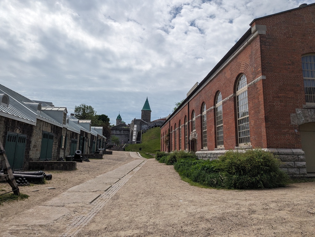
Figure 124: Saint John Gate from Artillery Park
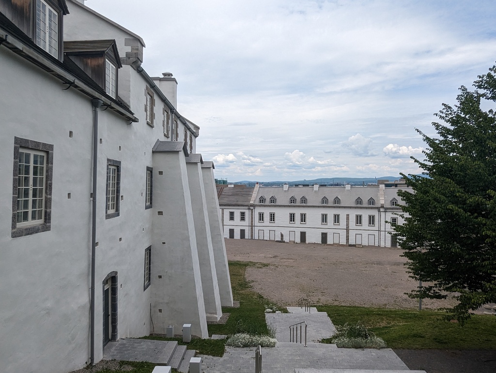
Figure 125: Artillery Park
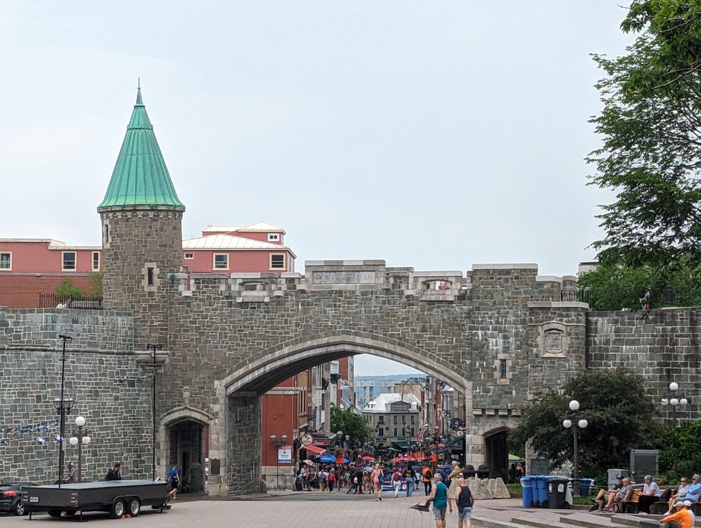
Figure 126: Saint John Gate in original city walls
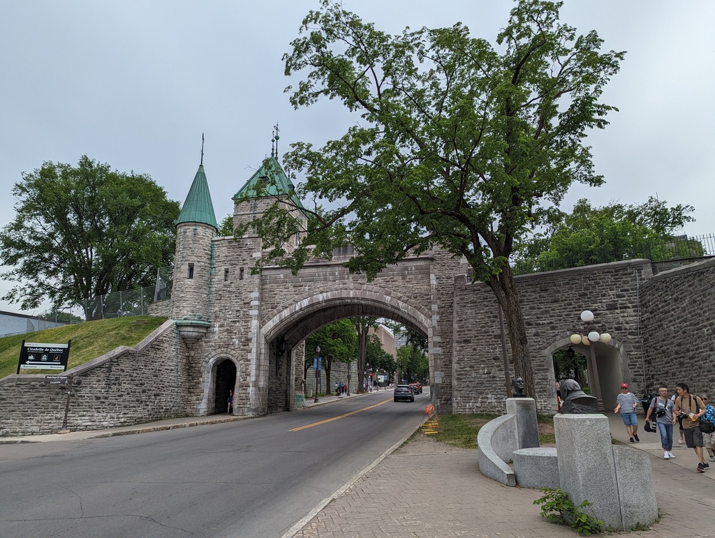
Figure 127: Saint Louis Gate in original city walls
-
Petit Québec
AnonyMouse is a Swedish street art collective known for its mouse-scale installations. AnonyMouse has snuck their miniature installations into nooks and crannies of more than thirty European and American cities. We noticed this piece of their Petit Québec installation because a family was taking pictures with their children in front of it. We did not find any other pieces.
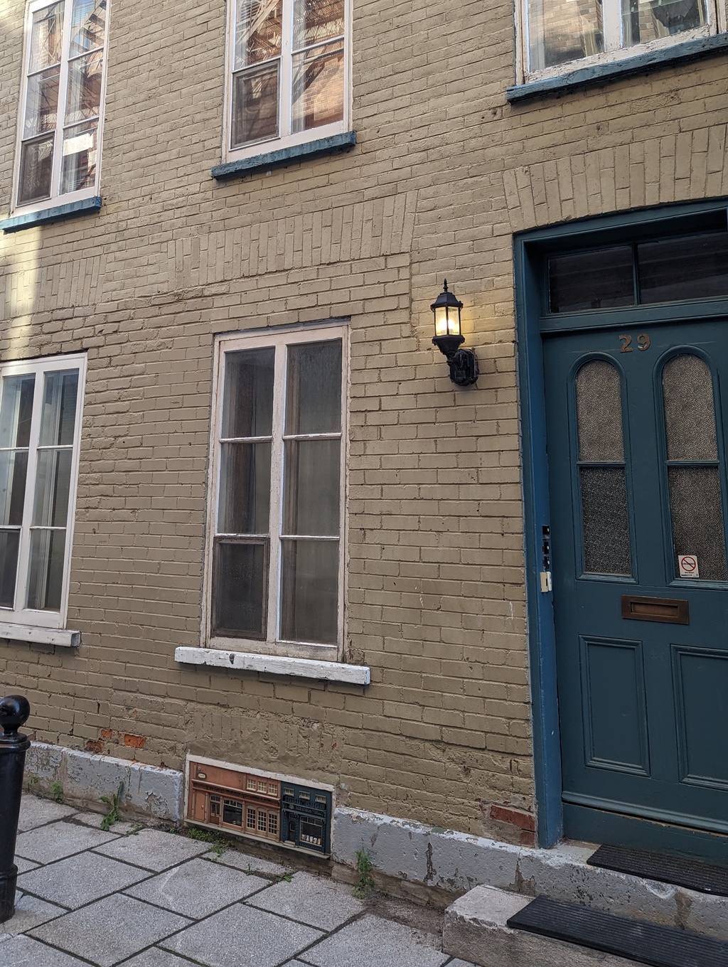
Figure 128: Petit Québec, AnonyMouse Collective
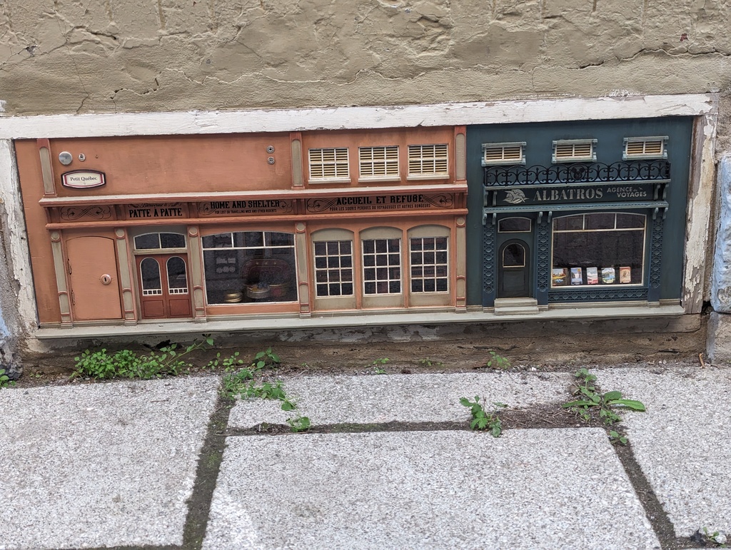
Figure 129: Petit Québec, AnonyMouse Collective
-
Food
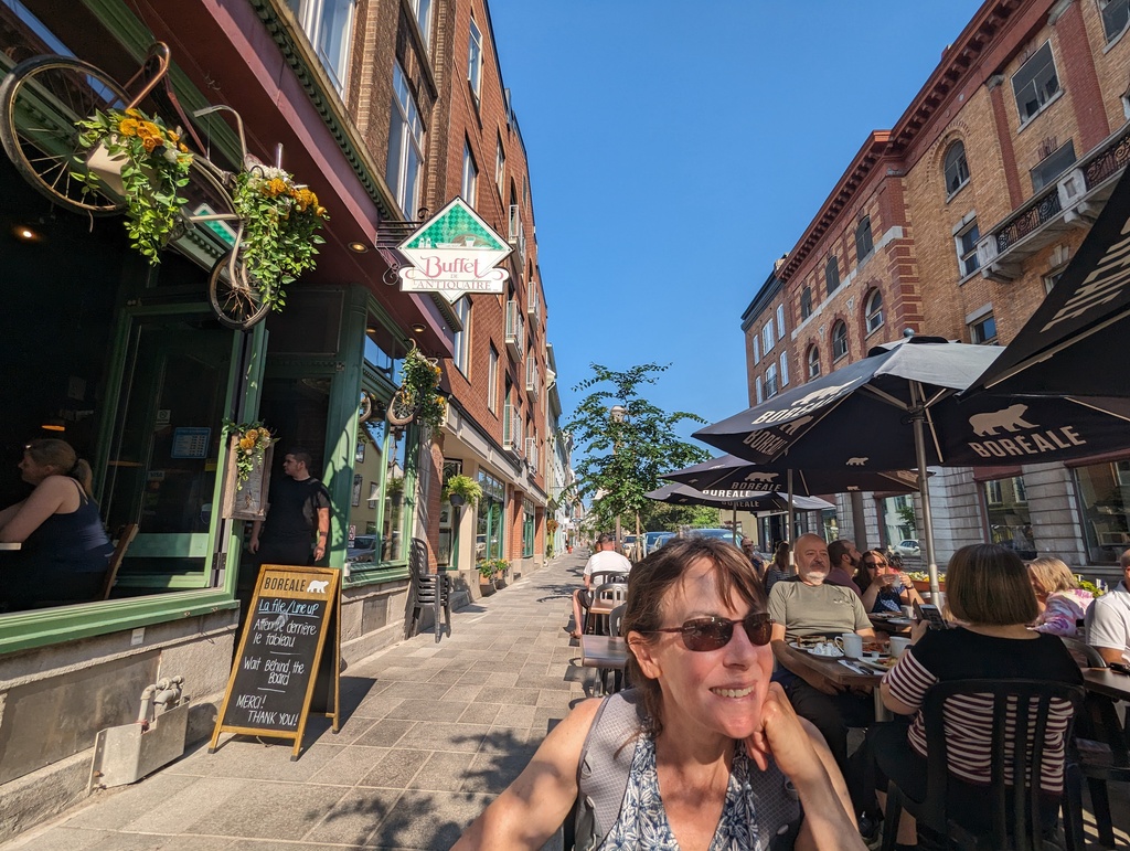
Figure 130: Brunch, L’Antiquaire Buffet
We enjoyed a fancy dinner at Chez Rioux et Pettigrew
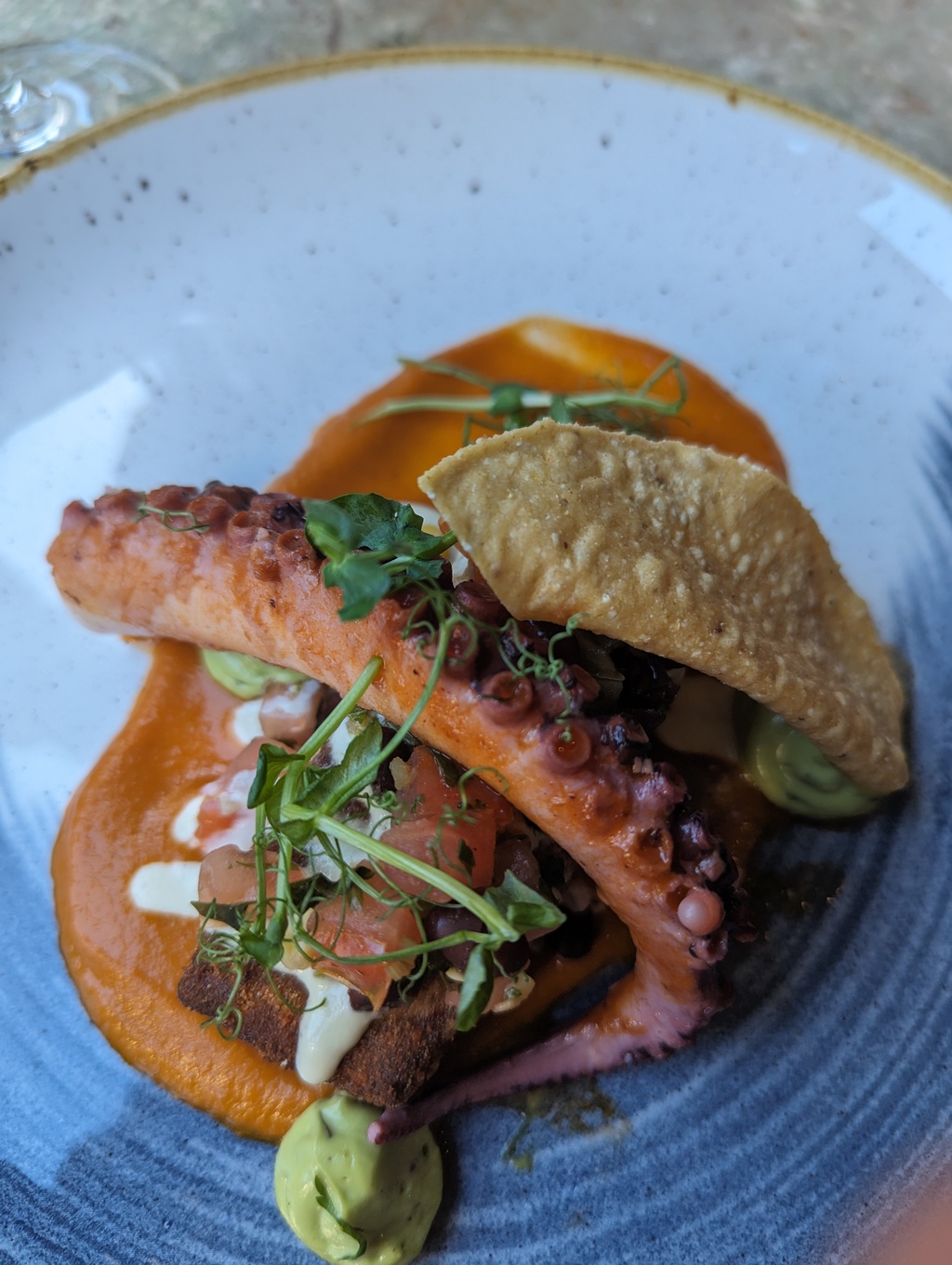
Figure 131: Tasting menu, first course
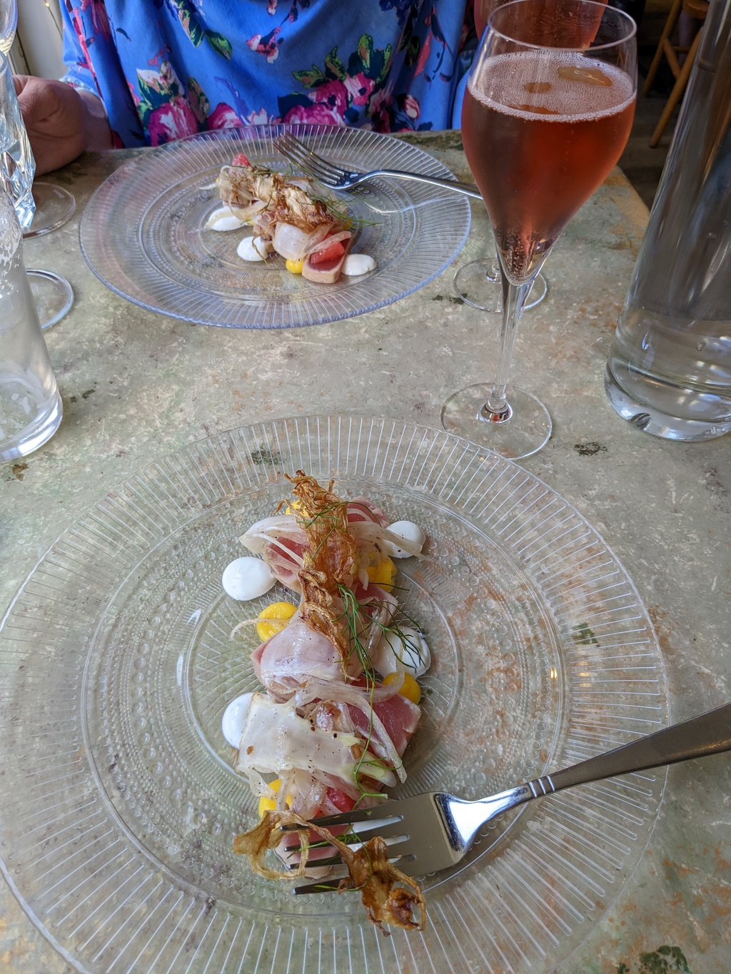
Figure 132: Tasting menu, second course
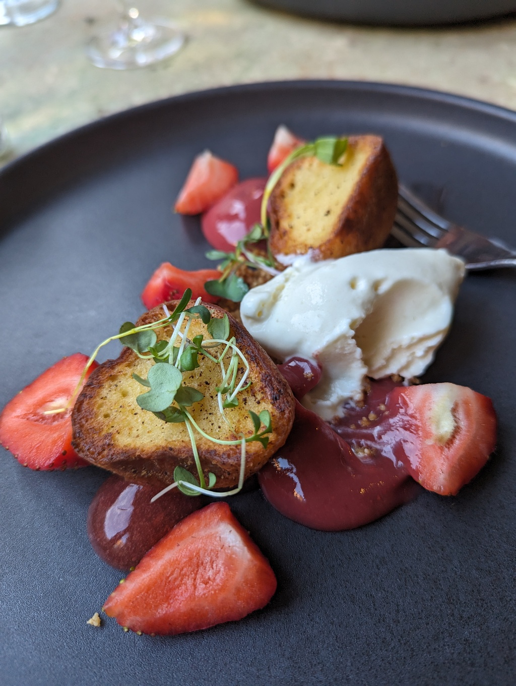
Figure 133: Tasting menu, fourth course
Brunch at Le Casse-Crêpe Breton
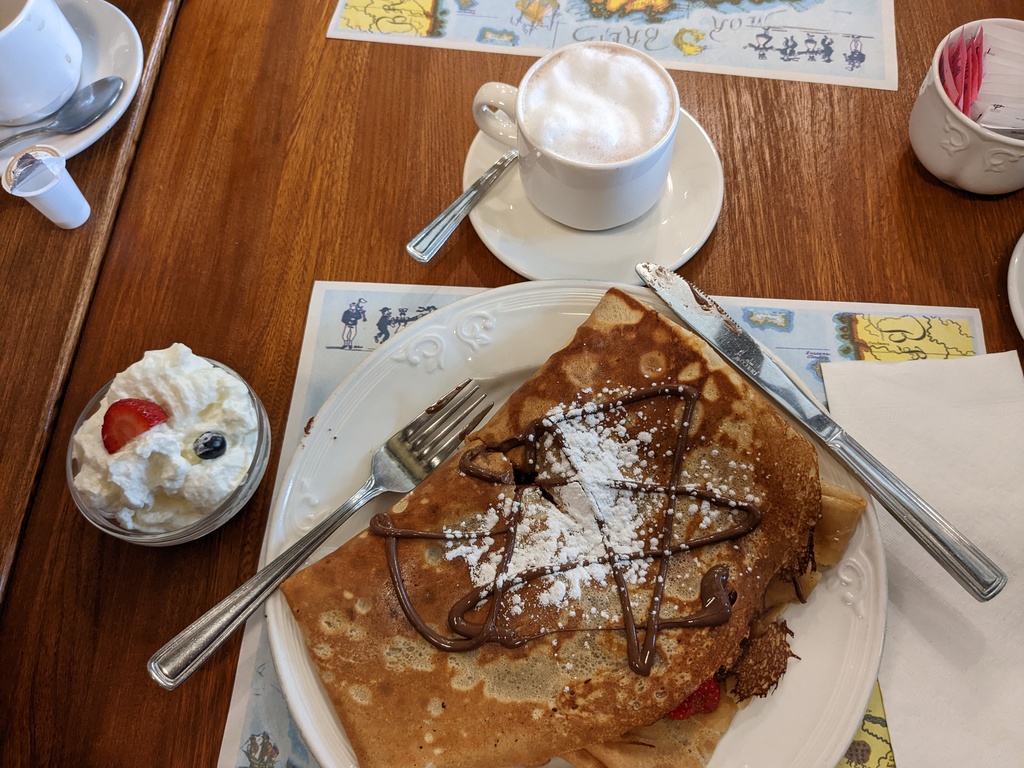
Figure 134: Crepe with Strawberry and Chocolate
Saint Pierre Sighting
More Saint Pierre sightings:
Figure 135: Penguin on Lac Saint Pierre between Sorrel and Trois-Rivières
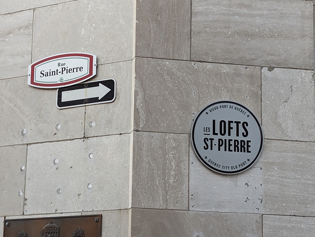
Figure 136: Rue Saint Pierre, Québec City
The Great Loop
The Trip
The Great Loop is a 6000 mile boat voyage circling the eastern United States and parts of Canada. Trip distance can be much longer with side trips. ‘The Loop’ is often completed in about one year by following favorable weather: spring in the north east, summer on the Great Lakes, fall on the inland rivers, and winter in the south. We hope to ‘cross our wake’ in 14 months.
Interest in the Loop has grown over the last 10-15 years, with hundreds of boats expecting to complete the trip this year. Loop boats come in all sizes with the average, according to the AGCLA, growing to over 40’.
The Route
Figure 137 shows the principle routes of the Great Loop. Our planned route includes Lake Champlain, Canada Heritage Canals and Tombigbee Waterway; with side trips to Quebéc City and Knoxville TN.
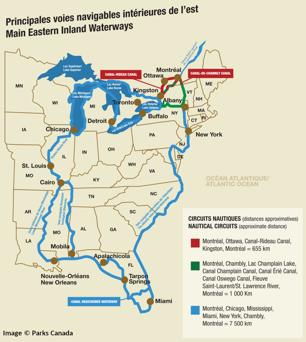
Figure 137: Great Loop Routes
-
Heritage Canals in North East Canada
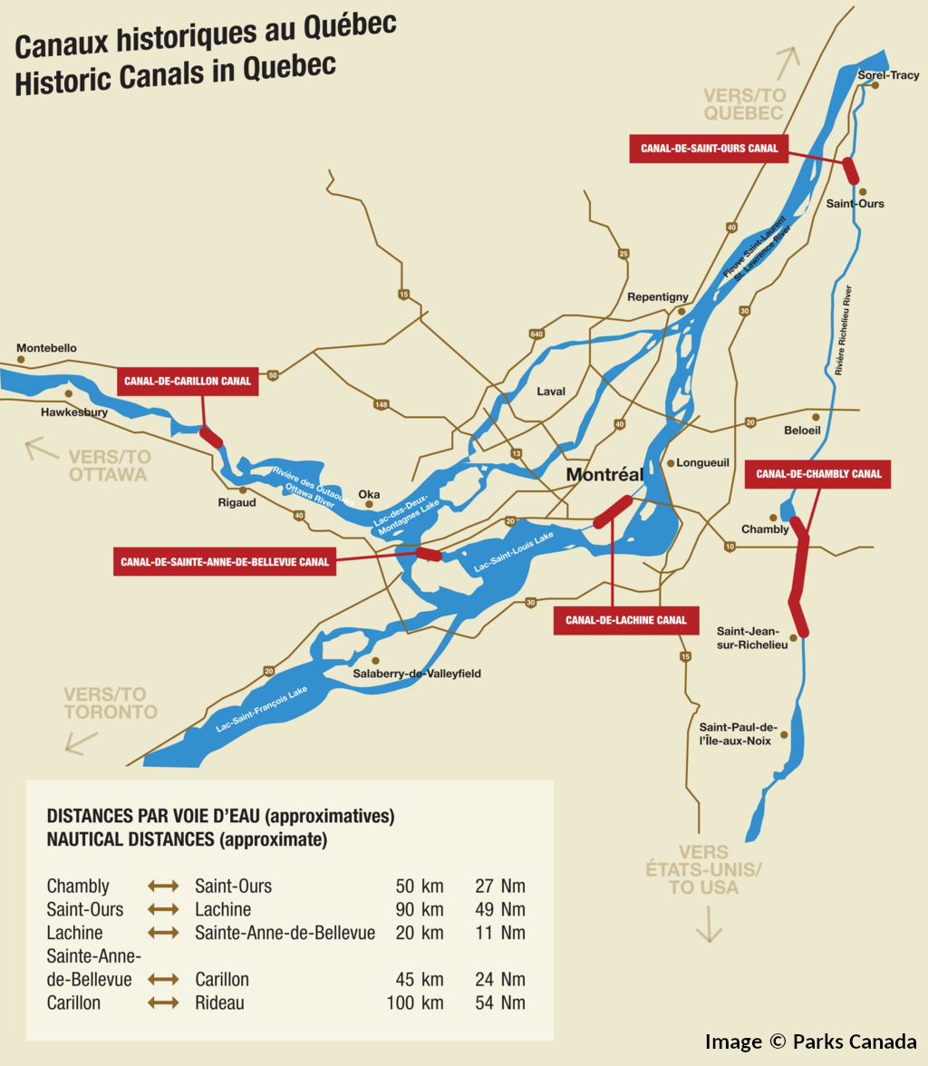
Figure 138: Heritage Canals in Québec
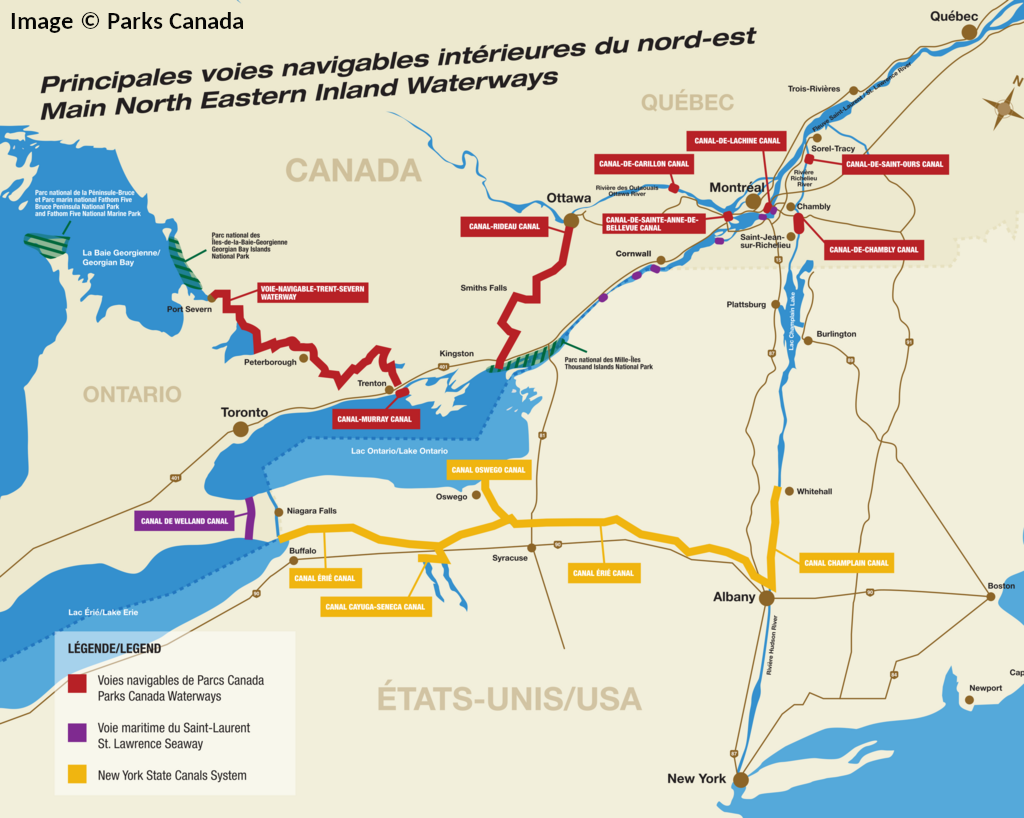
Figure 139: Heritage Canals in north-east Canada
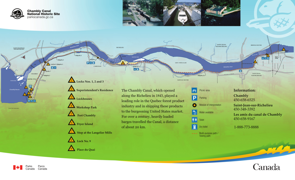
Figure 140: Chambly Canal along the Richelieu River

Figure 141: Rideau Canal from Ottawa to Lake Ontario
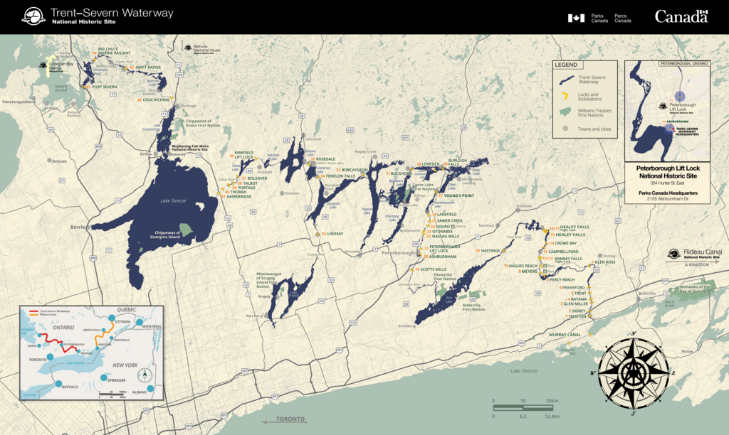
Figure 142: Trent Severn Canal from Lake Ontario to Lake Huron

Chambly Canal and Richelieu River
Summary
Lake Champlain flows into the Richelieu River which, in turn, flows into the Saint Lawrence River. We traveled 76 miles on this segment on June 18.
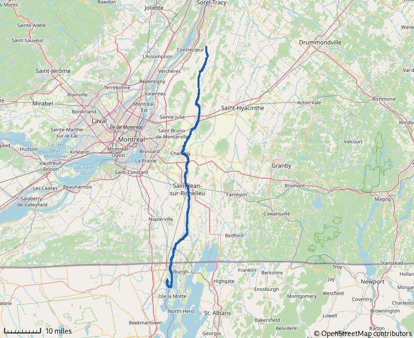
Figure 143: Chambly Canal and Richelieu River
Situation Normal
An early departure from King Bay had us traveling past Rouses Point NY and Fort Montgomery early in the morning. According to Wikepedia… Fort Montgomery is the second fort located on Island Point. Construction of the first began during the War of 1812 to provide protection against British attacks (like the Battle of Valcour Straight/Plattsburgh). When it was discovered a surveying error had the fort located ¾-mile inside Canada, construction was halted. Locals promptly looted the site for construction materials.
Construction of Fort Montgomery began after Island Point was ceded to United States in the aftermath of the War of 1812. Ultimately, this second fort was abandoned and, again, looted for construction materials. Some of the looted material was used to create fill for a bridge across the Richelieu at Rouses Point.
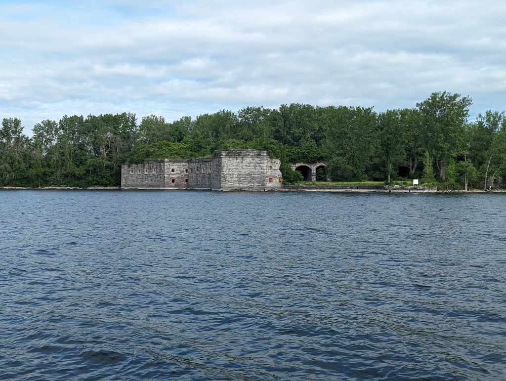
Figure 144: Fort Montgomery, Rouses Point NY
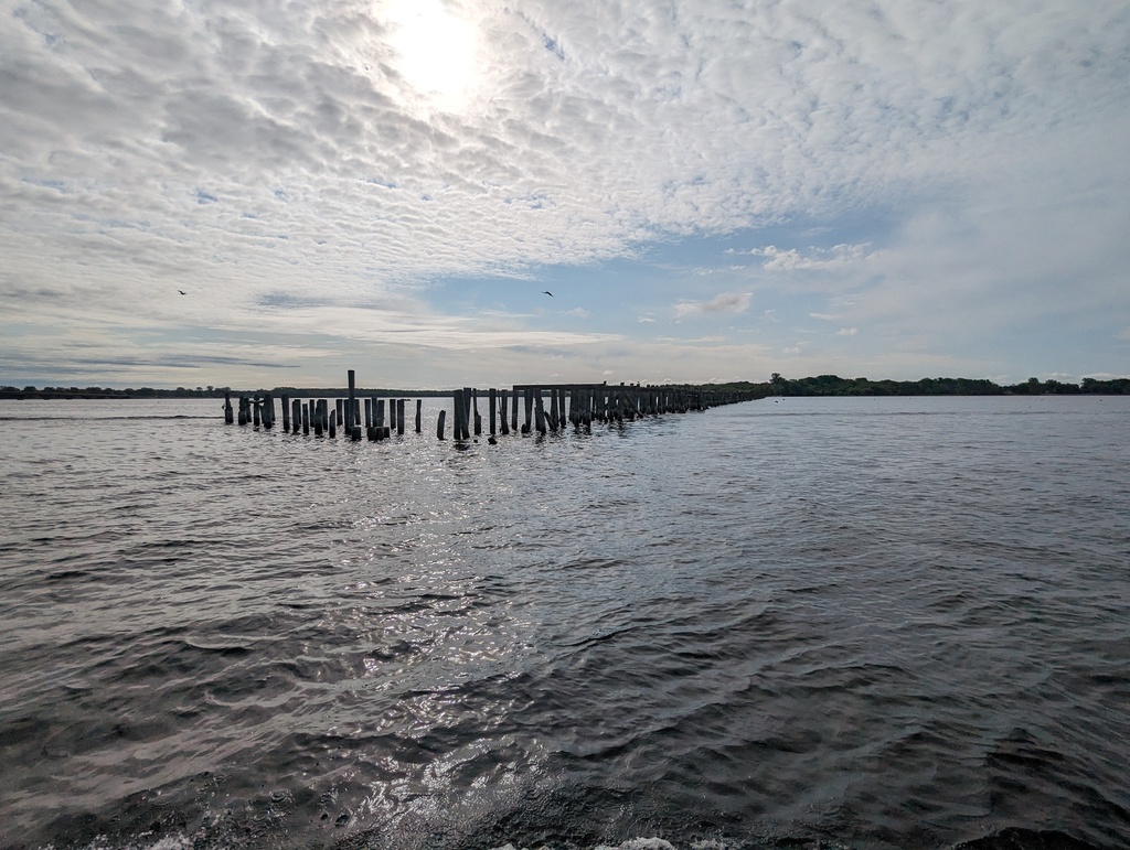
Figure 145: Abandoned bridge near Rouses Point NY
O Canada
We opted for in-person check in at the Richelieu River Border Protection Office. One can also check in from phones located at designated sites—bring change, only pay-phones are provided. If you’ve just arrived in Canada, will you have Canadian coins?
Figure 146: Welcome to Canada!
Richelieu River
The Richelieu River was a major transit corridor since long before Canada or United States existed. Indigenous, French, Dutch, British and United States traders moved goods between the Saint Lawrence and Hudson Rivers via the Richelieu River and Lake Champlain.
-
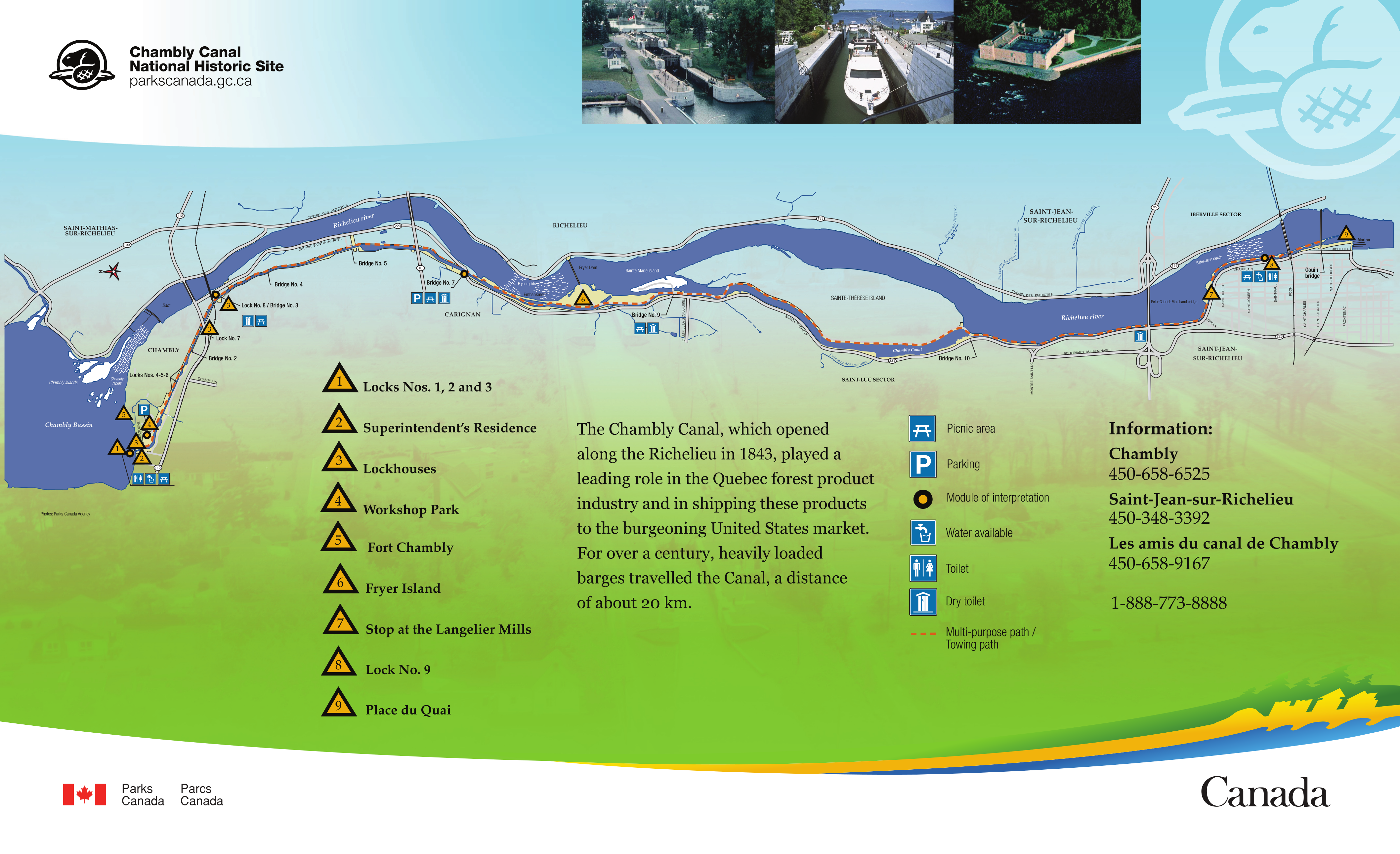
Chambly Canal
The Chambly Canal was completed in 1843 to bypass rapids between Chambly and Saint-Jean. The twelve-mile Chambly Canal has nine locks and ten bridges. The canal was constructed by building a narrow berm on the west bank of the Richelieu. The berm contained navigable lock-controlled water heights above the river/rapids and served as a tow path for barge traffic. Now, the tow-path is a popular bike path.
During the 1970s the Saint-Jean section of the canal was widened to accommodate wider vessels, restricting flow from Lake Champlain. Later analysis concluded an unplanned result of the widening was a 1.2-4in rise in the water level of Lake Champlain.
Parks Canada operates the Chambly. Transit of the canal is coordinated, with staff traveling in parallel with vessels and opening locks and bridges in sequence. At the north end, the canal has a three-flight lock to the Basin de Chambly.
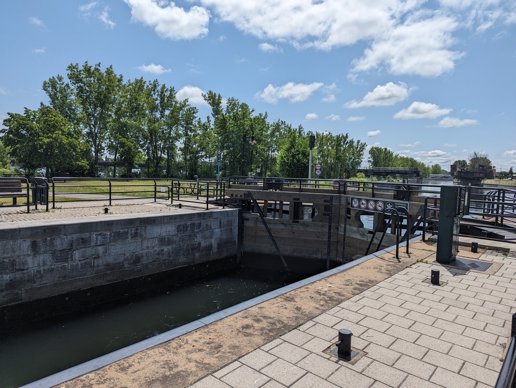
Figure 147: Lock 9, Saint-Jean
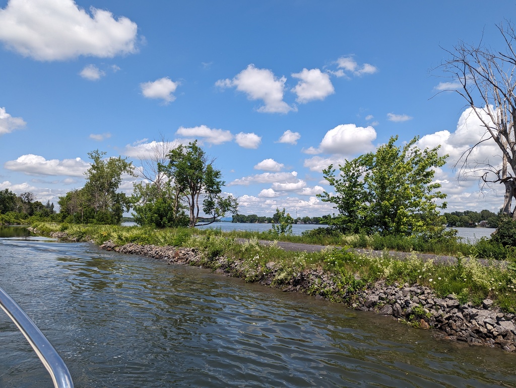
Figure 148: Chambly Canal along Richelieu River
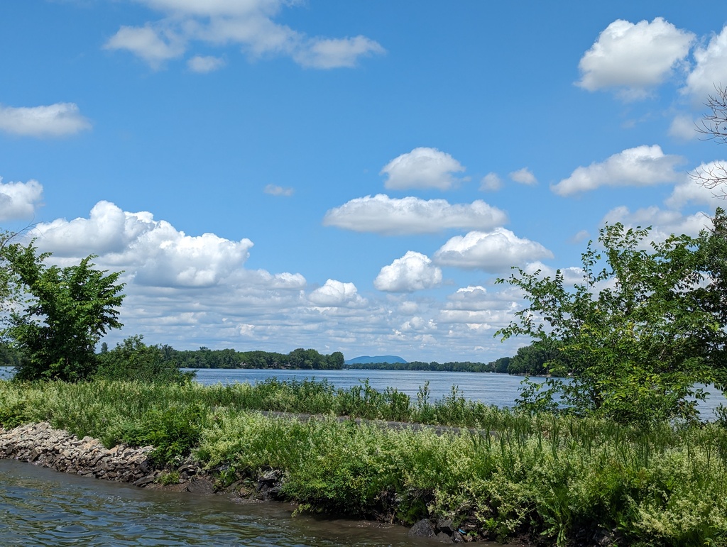
Figure 149: Chambly Canal along Richelieu River
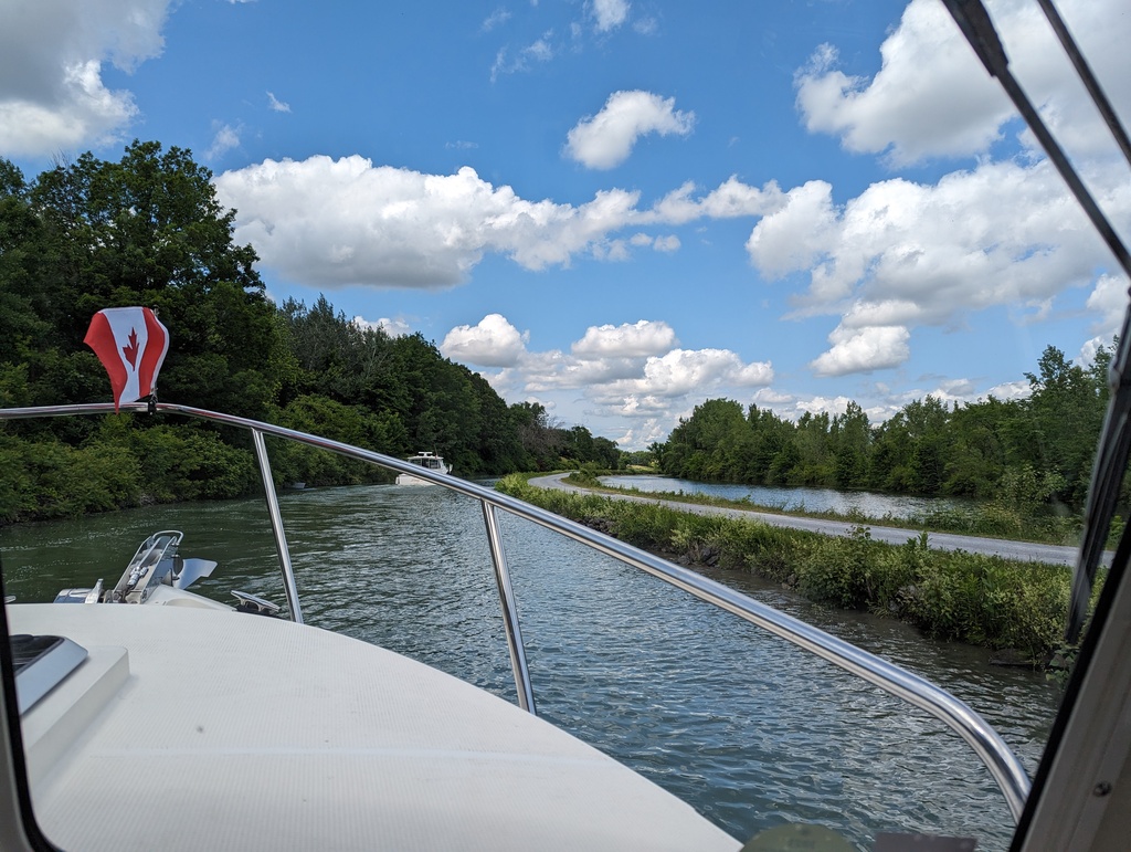
Figure 150: Chambly Canal along Richelieu River
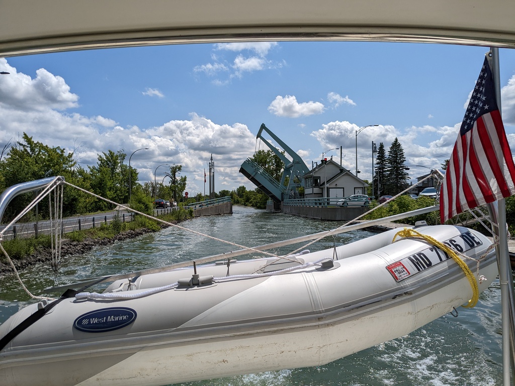
Figure 151: Chambly Canal Bascule Bridge
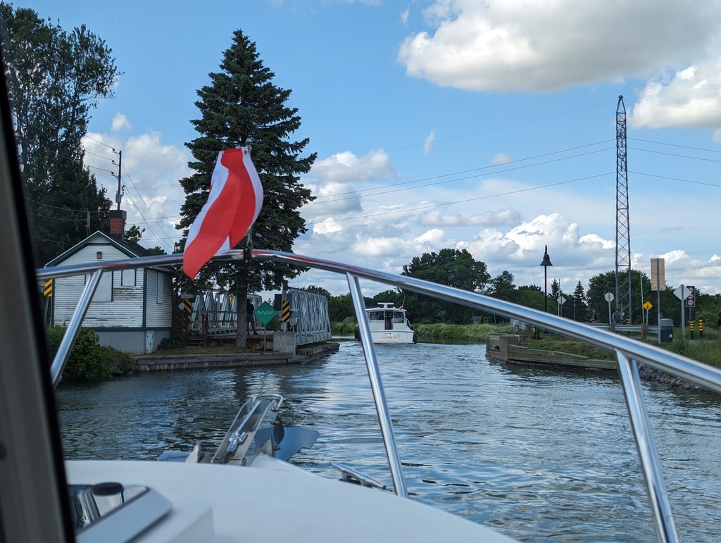
Figure 152: Chambly Canal Swing Bridge
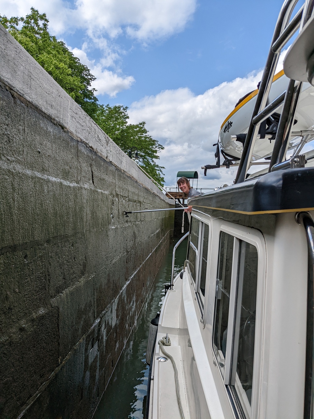
Figure 153: First Mate in Chambly Canal lock flight 1-3
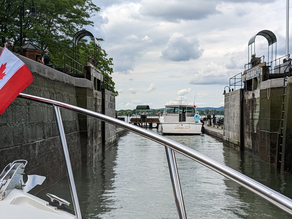
Figure 154: Chambly Canal lock flight 1-3
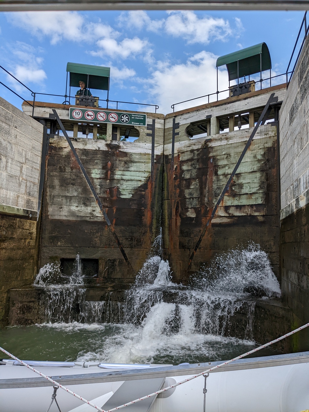
Figure 155: Chambly Canal lock flight 1-3
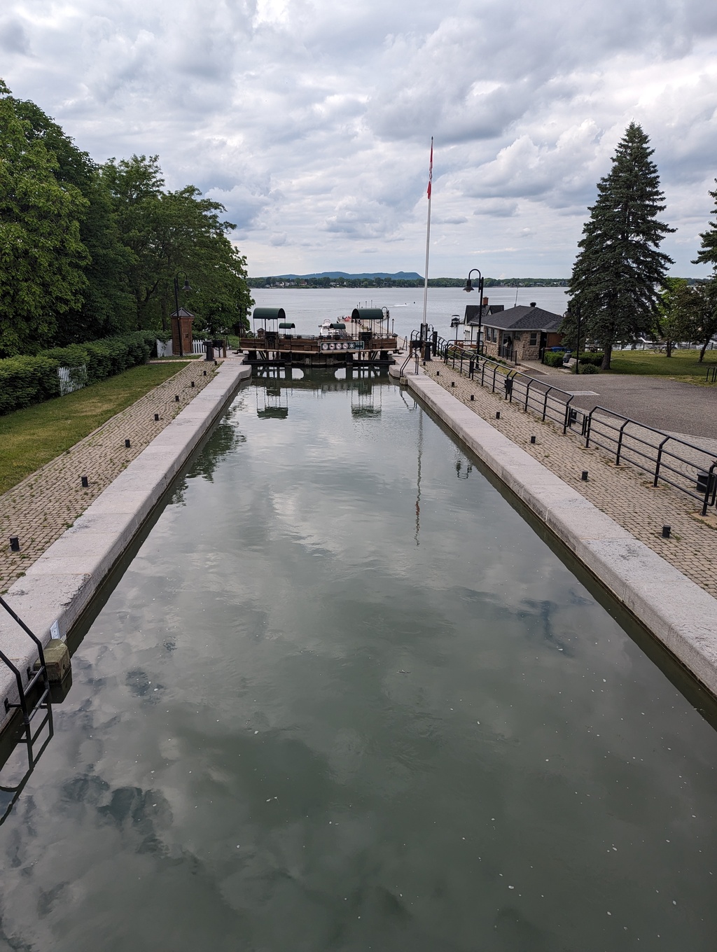
Figure 156: Chambly Canal lock flight 1-3
We stayed overnight on the lock wall at the Chambly Basin side of the canal.
Figure 157: Chambly QC
Figure 158: Fort Chambly, QC
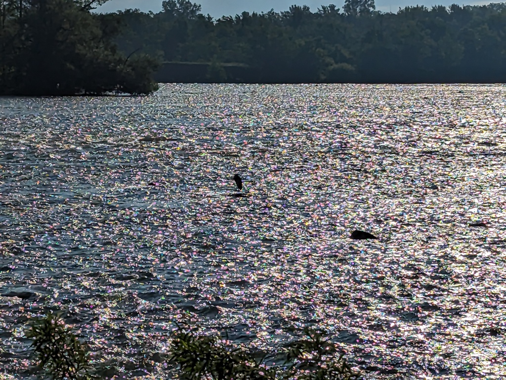
Figure 159: Richelieu River rapids at Chambly QC
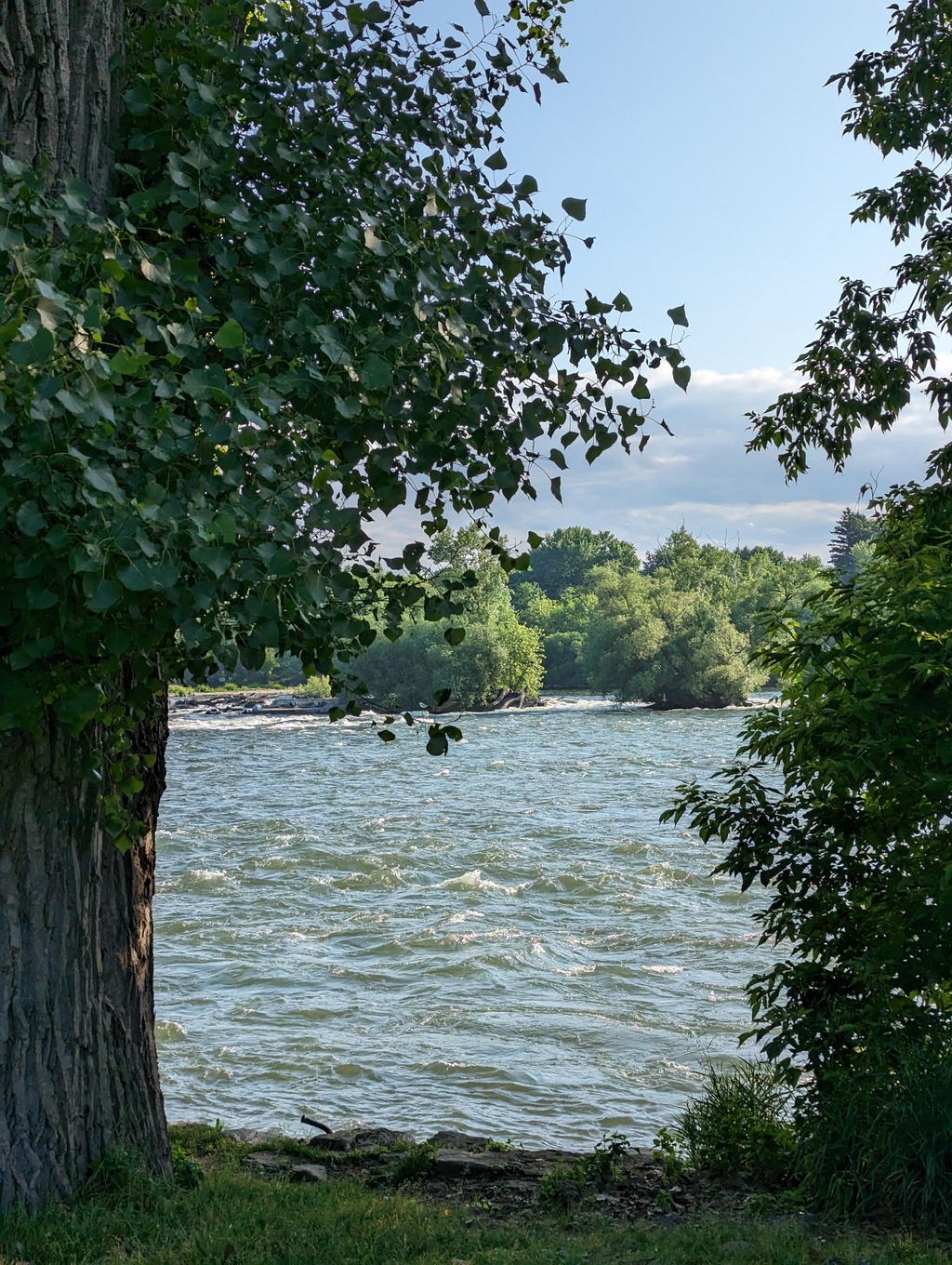
Figure 160: Richelieu River rapids at Chambly QC
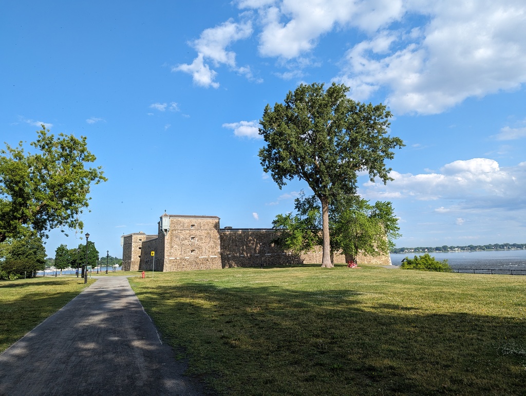
Figure 161: Fort Chambly, QC
-
Saint Ours Canal
We continued along the Richelieu, stopping in Saint-Denis for a walk, to the Saint-Ours Canal. The Saint-Ours Canal is located on the Richelieu River between Chambly and the Saint Lawrence River. The ‘Canal’ is really just one lock, ‘Lock 10’. We stayed over night on the down-river side of Saint Ours Lock.
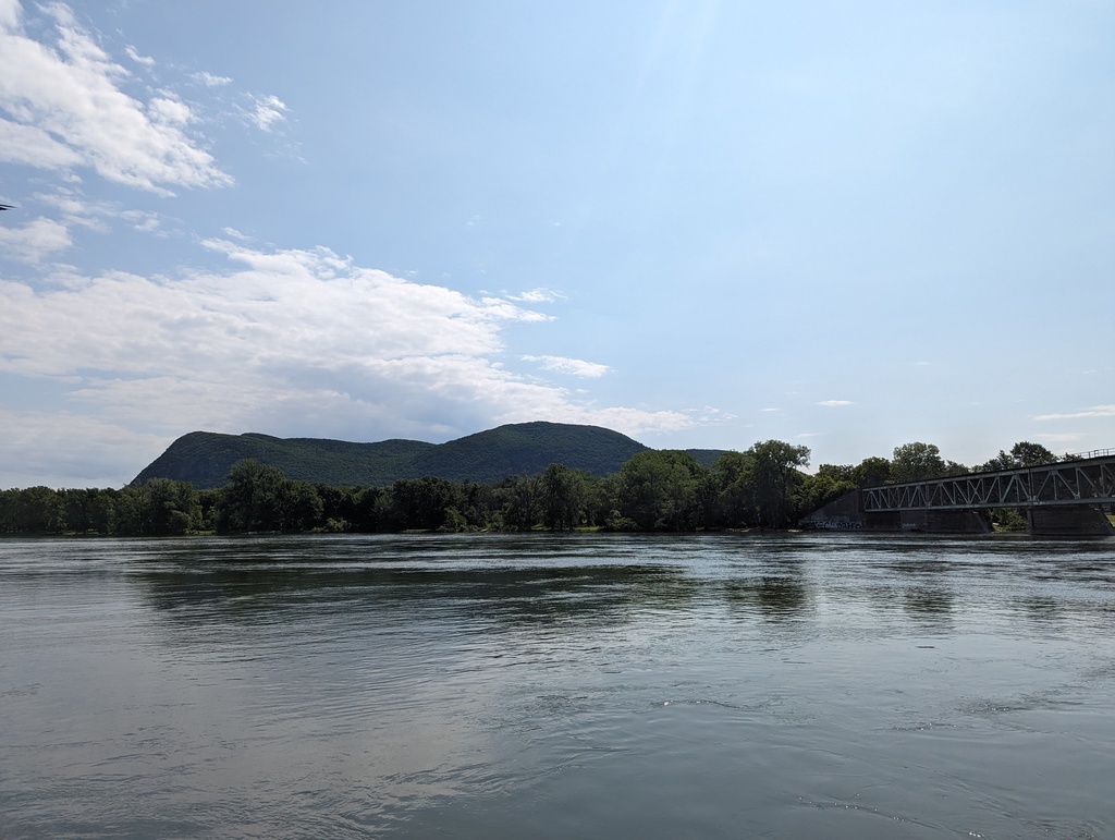
Figure 162: Mont Saint-Hilaire
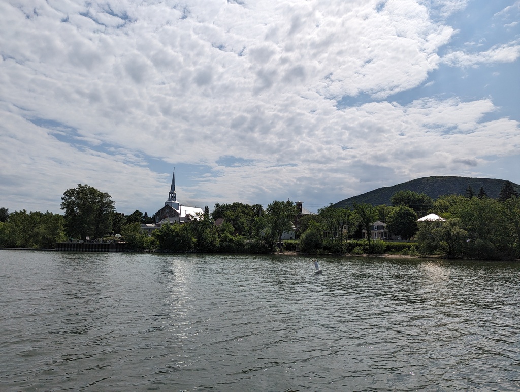
Figure 163: Saint-Hilaire
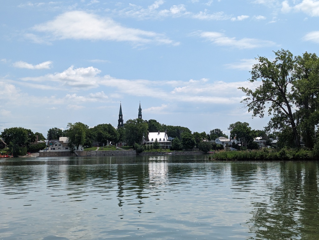
Figure 164: Saint-Denis
Parks Canada Lock and Mooring Passes
Pre-season purchase of combined passes for unlimited transit of Parks Canada locks and use of Parks Canada moorings were $17CAD/ft—about $561CAD for Penguin (33 LOA with dinghy davits). At 1.00CAD/ft for transit of each canal and marinas around 2.00CAD/ft each night, the pre-season pass was a great value.
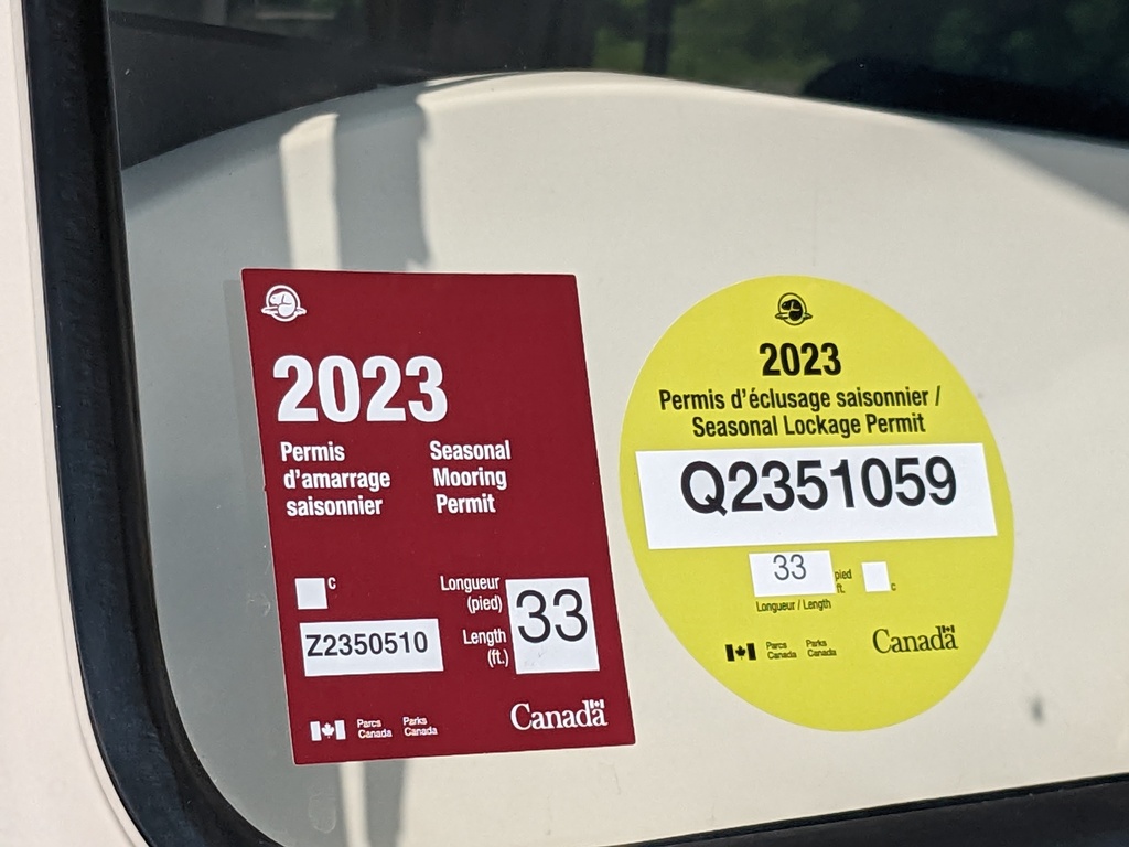
Figure 165: Parks Canada lock and mooring permits
Saint Pierre Sighting
A first installment of Saint Pierre sightings:
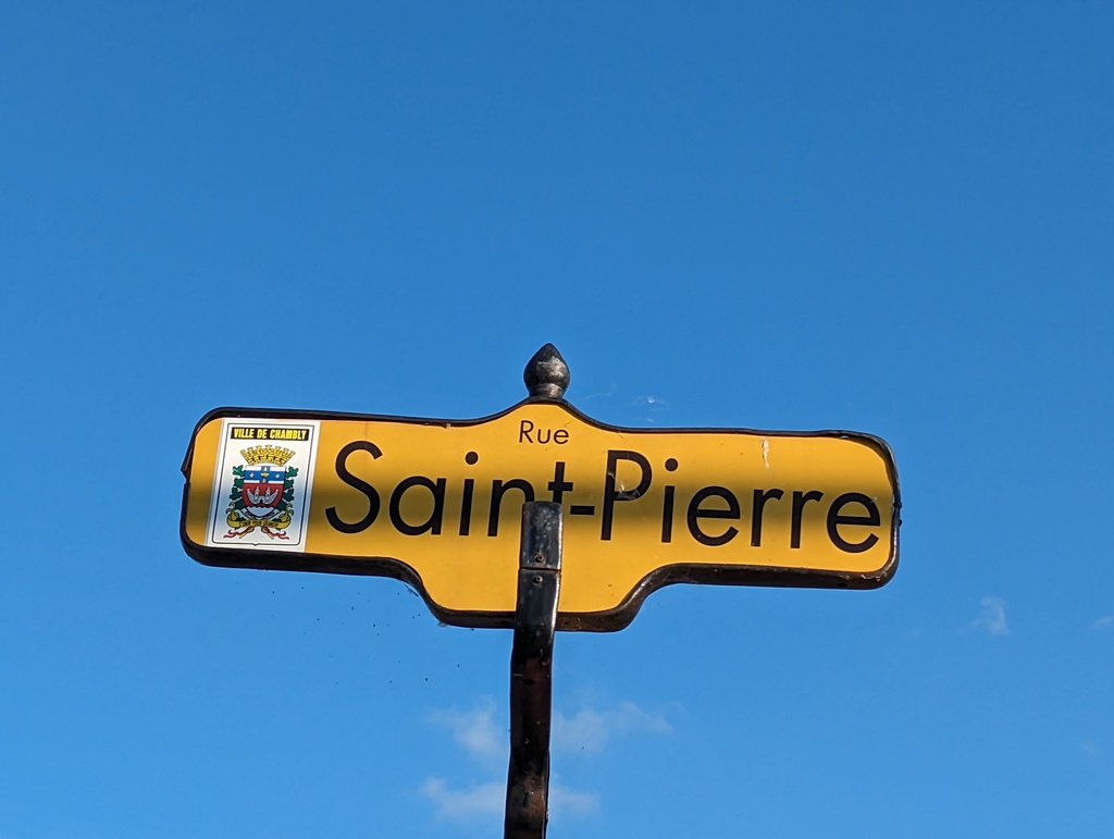
Figure 166: Chambly
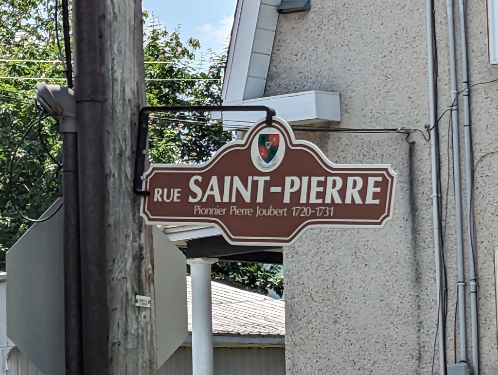
Figure 167: Saint-Denis
Champlain Canal and Lake
Summary
We traveled this segment between June 12-17. Distance traveled was 177 miles.
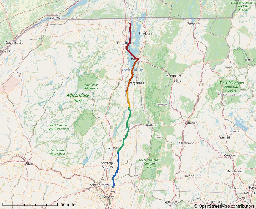
Figure 168: Champlain Canal and Lake
Champlain Canal
The Champlain Canal was built at the same time as the Erie canal with the canals fully operational in 1823. The canal follows the natural route of the Hudson River between Waterford NY and Fort Edward NY and a man-made between Fort Edward and Whitehall NY. The canal has eleven locks; eight raise transiting vessels from 15.3’ at Waterford to 140.1’ at Fort Edward, three lower them from 140.1’ to 112.1’ at Whitehall NY—Lake Champlain’s water level. Along the canal, we stopped in Schuylerville and Whitehall for walks, anchored in La Chute bay, and tied to the free town wall in Fort Edward.
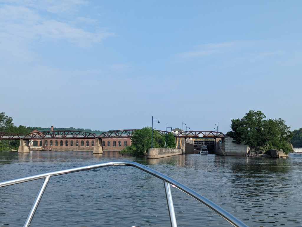
Figure 169: Lock C2, Mechanicville NY
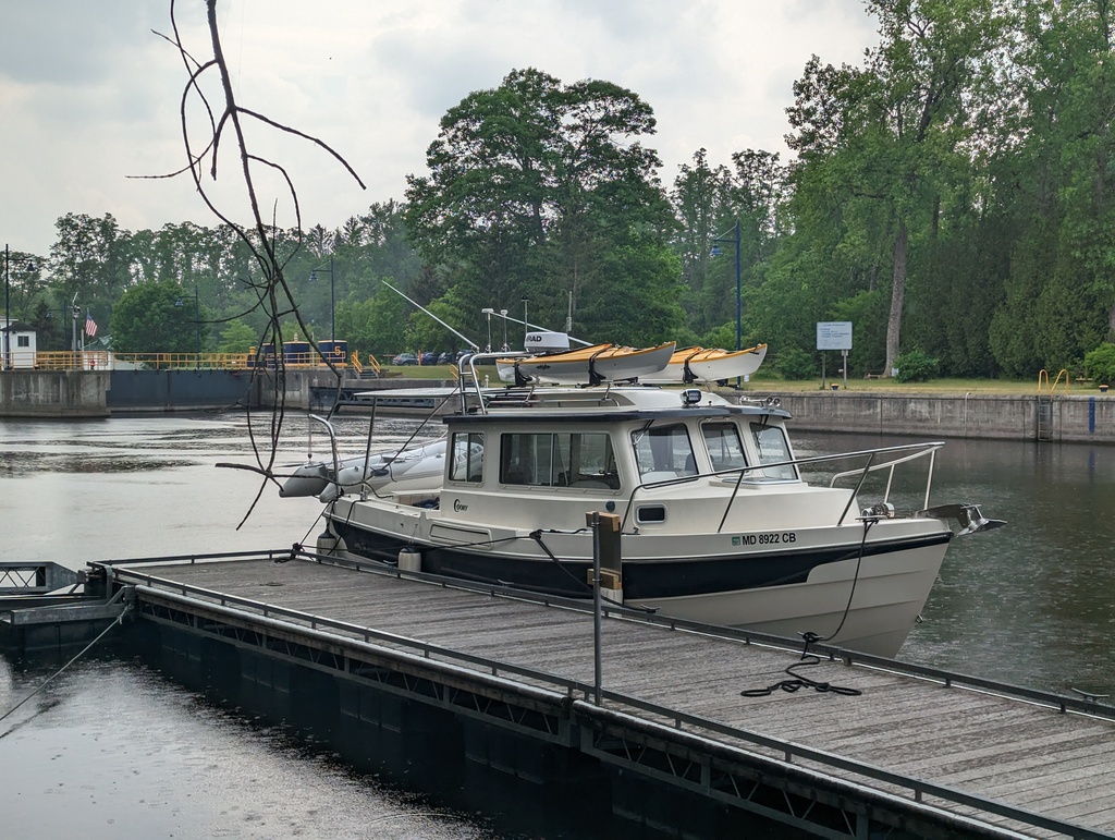
Figure 170: Lock C5, Northumberland
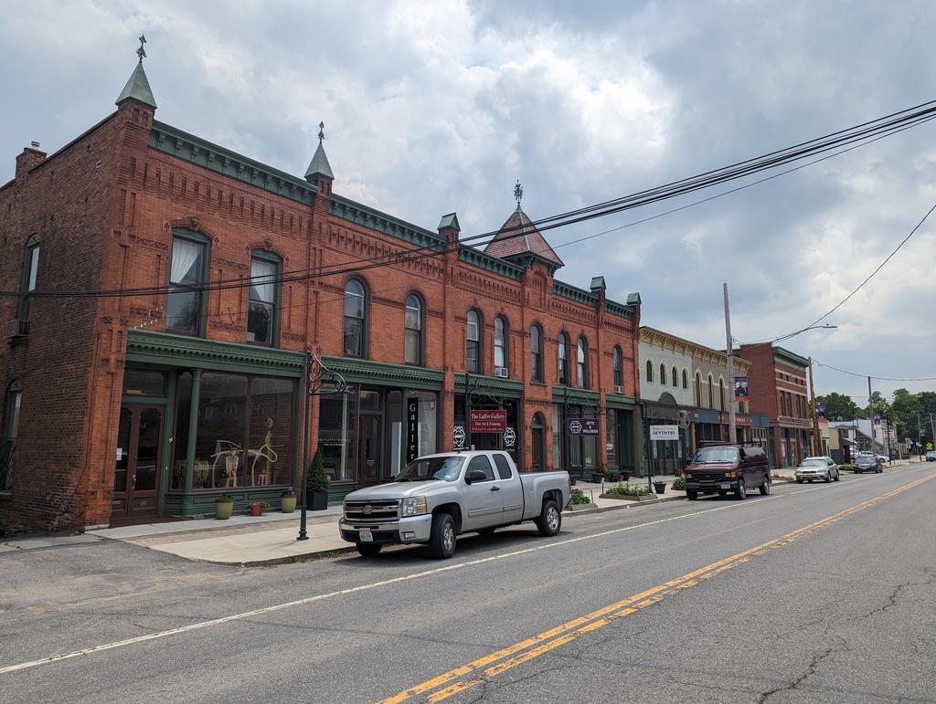
Figure 171: Schuylerville NY
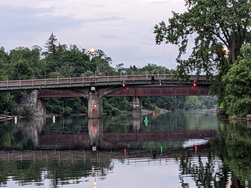
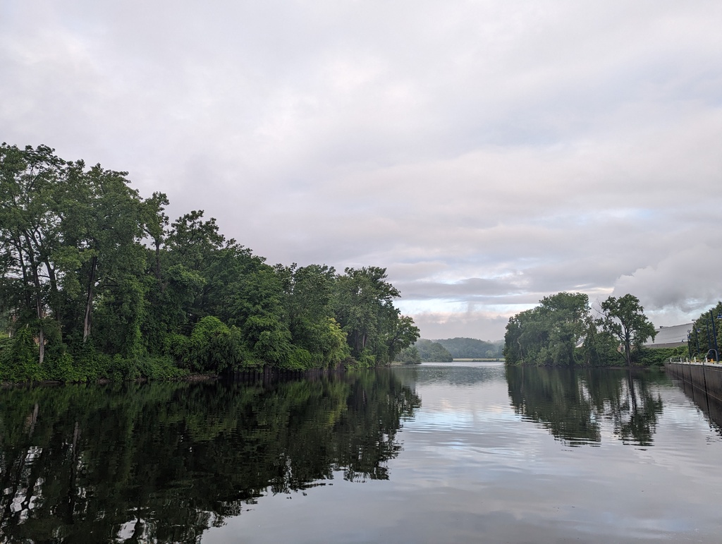
Figure 172: Fort Edward NY
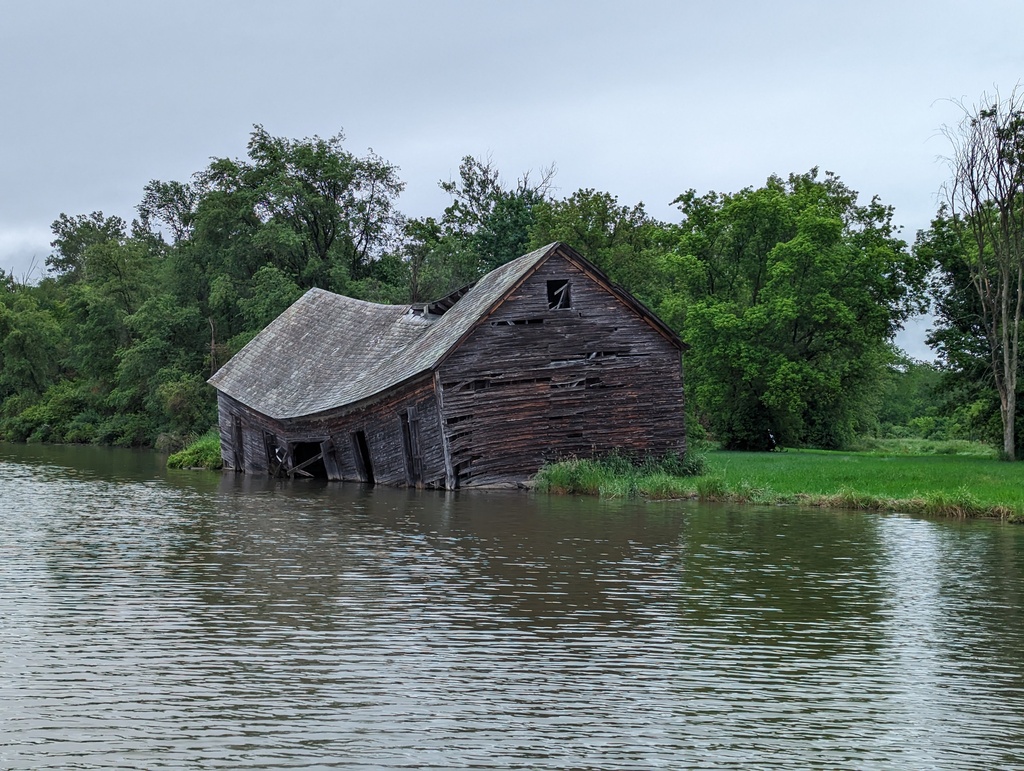
Figure 173: Seen better days
Figure 174: Man-made section of the Champlain Canal
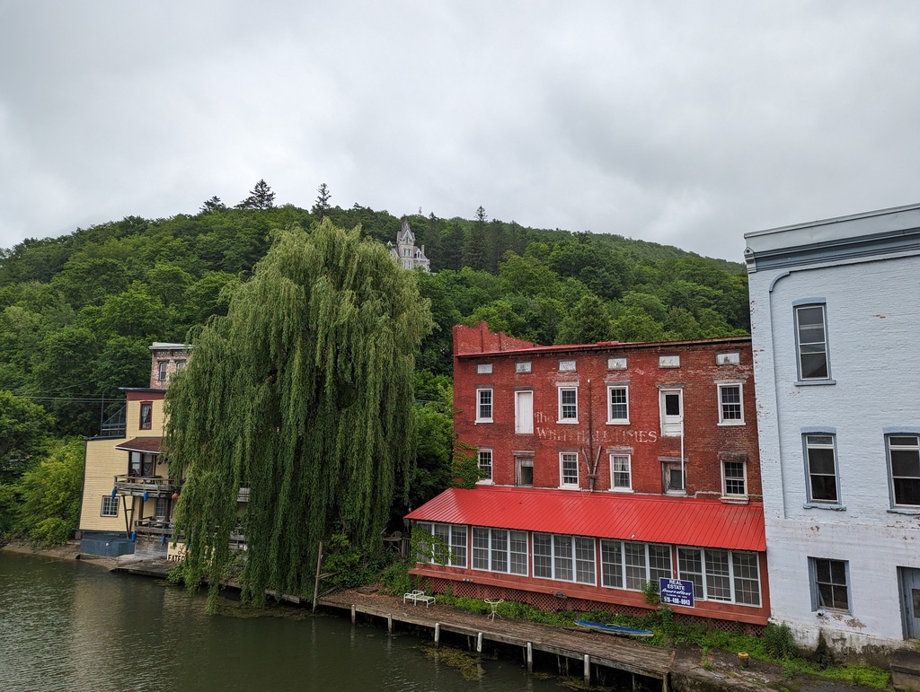
Figure 175: Skene Manor in Whitehall NY
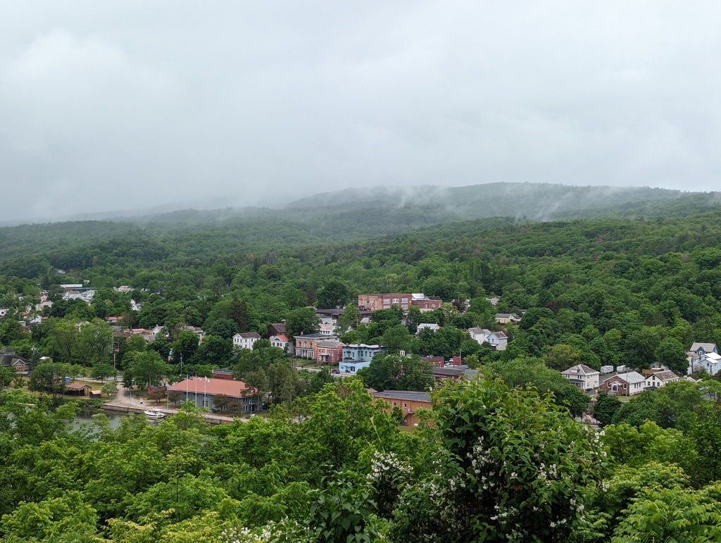
Figure 176: Whitehall NY from Skene Manor
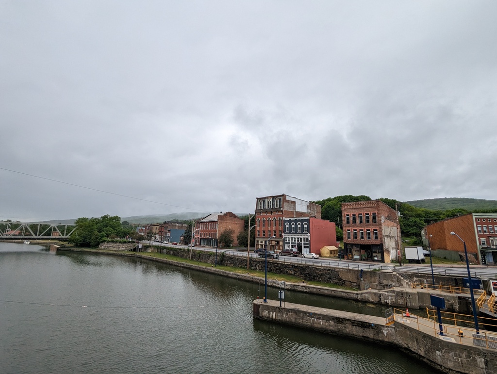
Figure 177: Whitehall NY
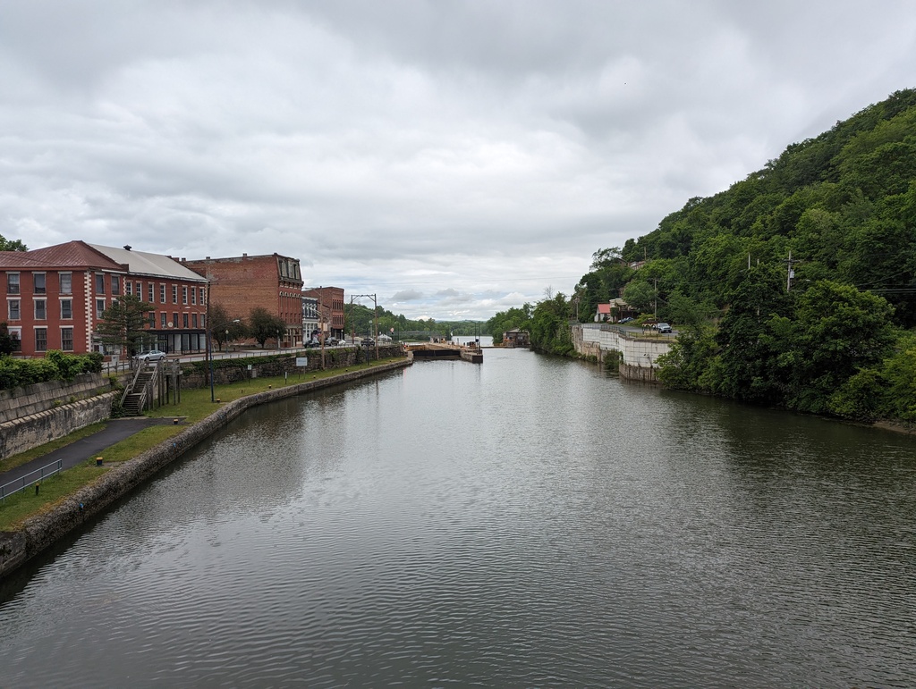
Figure 178: Lock C12, Whitehall NY
Lake Champlain
In Lake Champlain, we stopped in Basin Harbor for a walk and visited Fort Ticonderoga. We anchored in La Chute Bay, tied up overnight at the Champlain Memorial Lighthouse dock, took a mooring for two nights in Burlington, and anchored overnight at Valcour Island and King Bay.
-
Fort Ticonderoga
A strategic location where Lake Champlain and Lake George, major North/South transit corridors, are joined by the La Chute river. The fort saw minor skirmishes between the French, British and Americans during its colonial history.
Figure 179: La Chute Bay and Fort Ticonderoga
Figure 180: Fort Ticonderoga
Figure 181: La Chute Bay
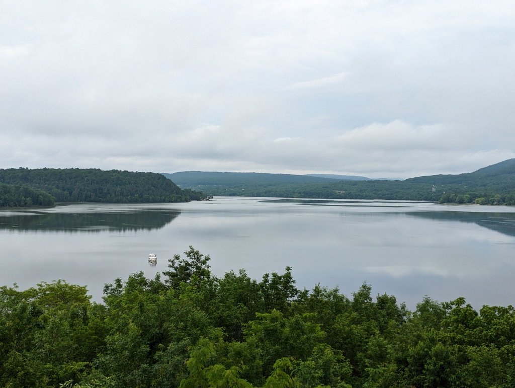
Figure 182: La Chute Bay from Fort Ticonderoga
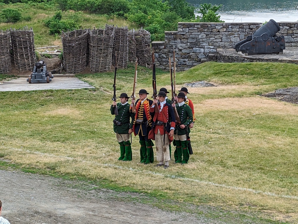
Figure 183: Fort Ticonderoga
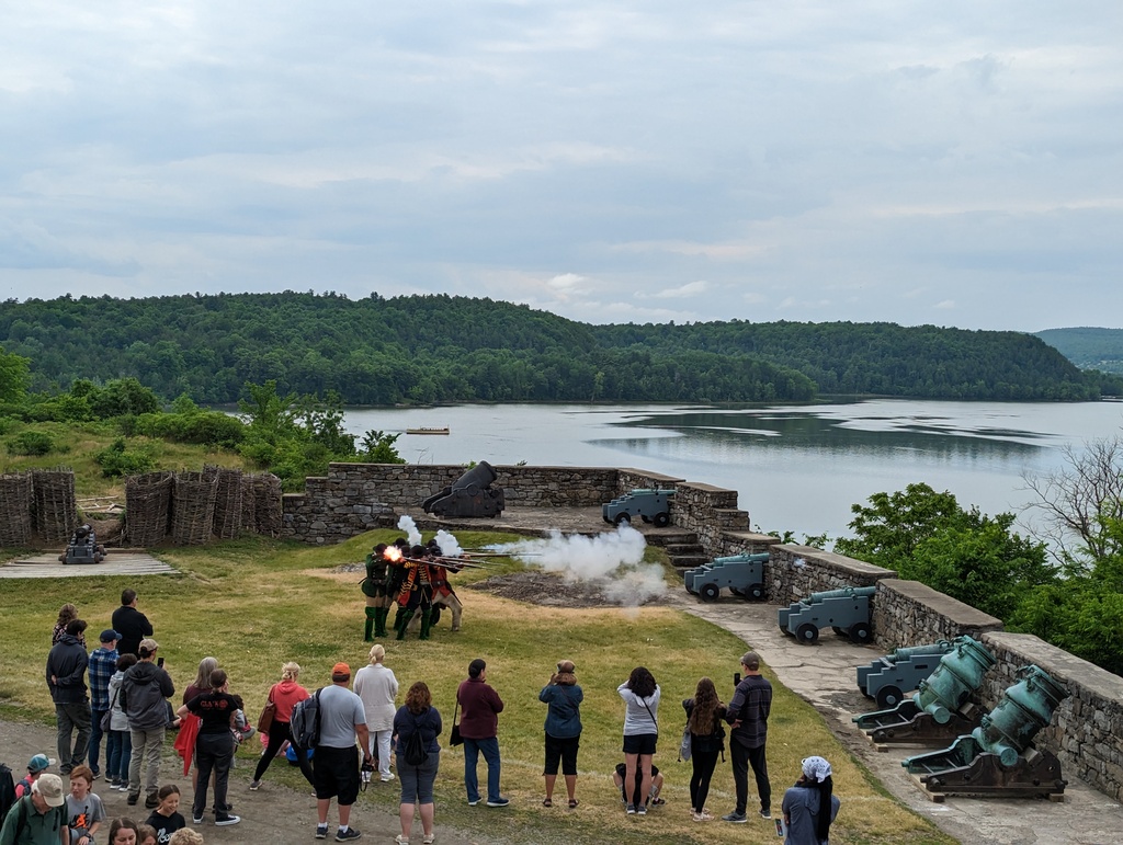
Figure 184: Fort Ticonderoga
-
Crown Point NY
Crown Point is 15 miles north of Fort Ticonderoga and strategic as the location where Lake Champlain begins to narrow. Like Fort Ticonderoga, forts were built around Crown Point as defense for a major North/South transit corridor.
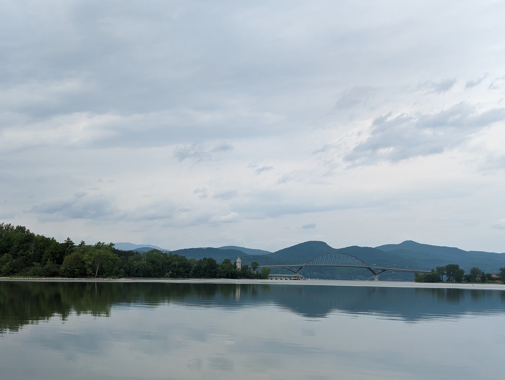
Figure 185: Crown Point and Lake Champlain Bridge
-
Basin Harbor VT
Basin Harbor provide convenient access to the Lake Champlain Maritime Museum. While waiting for the museum to open, we took a long walk to Button Bay State Park.
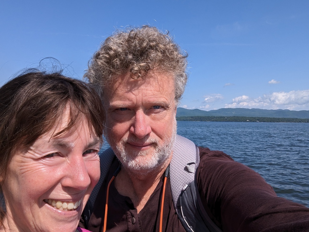
Figure 186: Adirondacks from Button Bay State Park
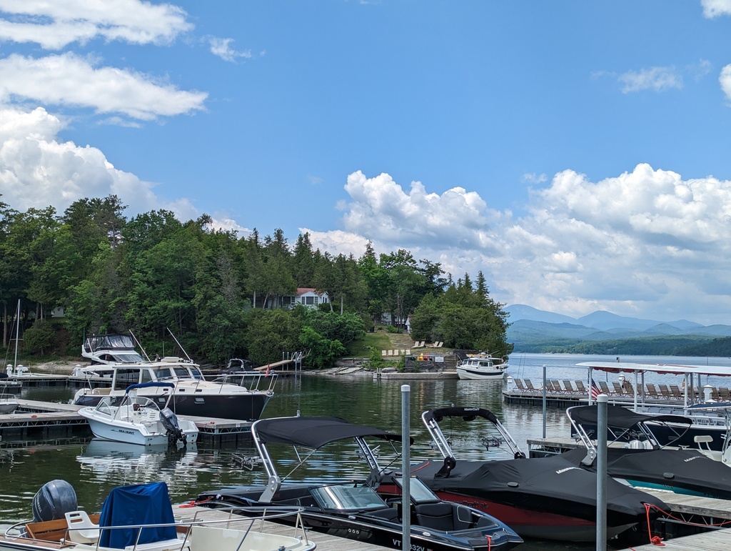
Figure 187: Basin Harbor, VT
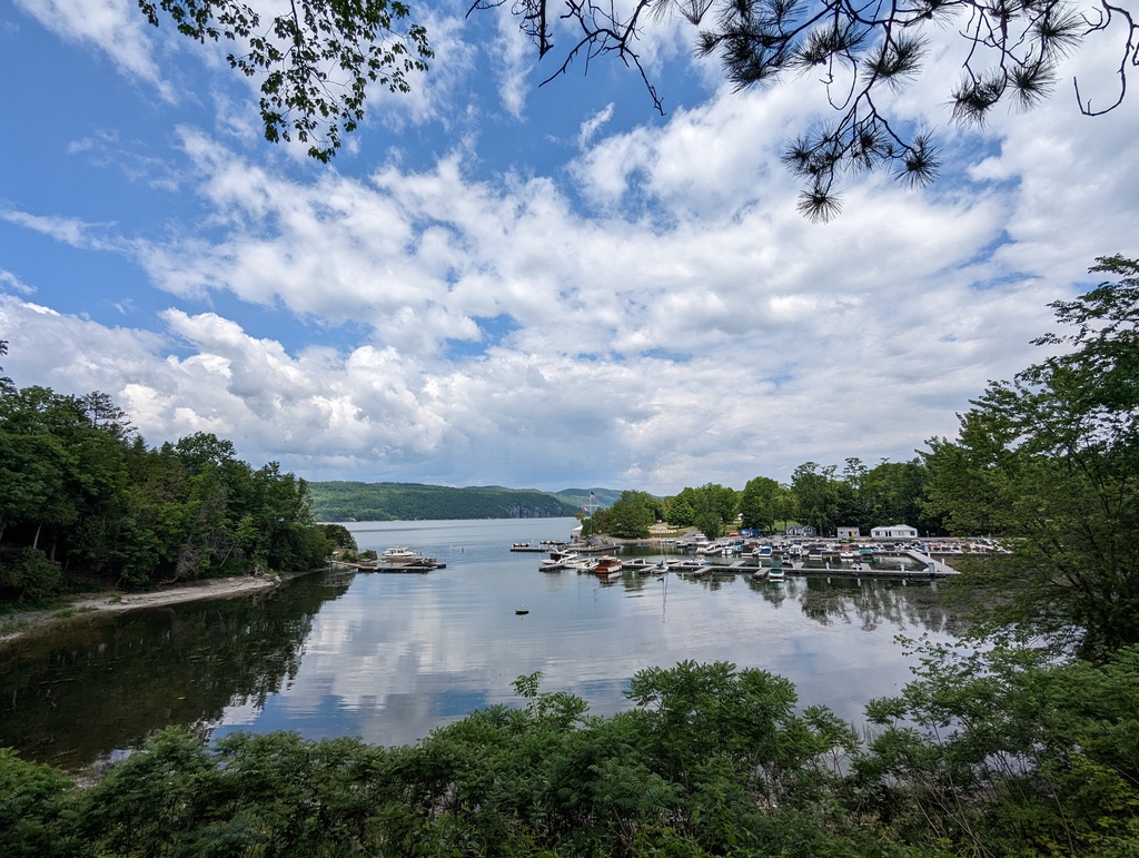
Figure 188: Basin Harbor, VT
Figure 189: Adirondacks from Lake Champlain
-
Burlington VT
The highlight of our visit to Burlington was the Shelburne Museum, a museum of American history, art and design. Founder, Electra Havemeyer Webb, bought historic buildings throughout New England and relocated them to house a collection of American art and design.
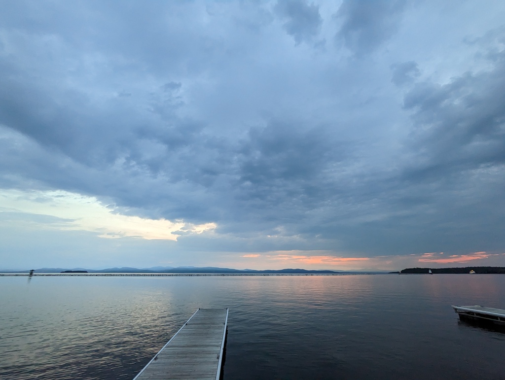
Figure 190: Lake Champlain from Burlinton VT
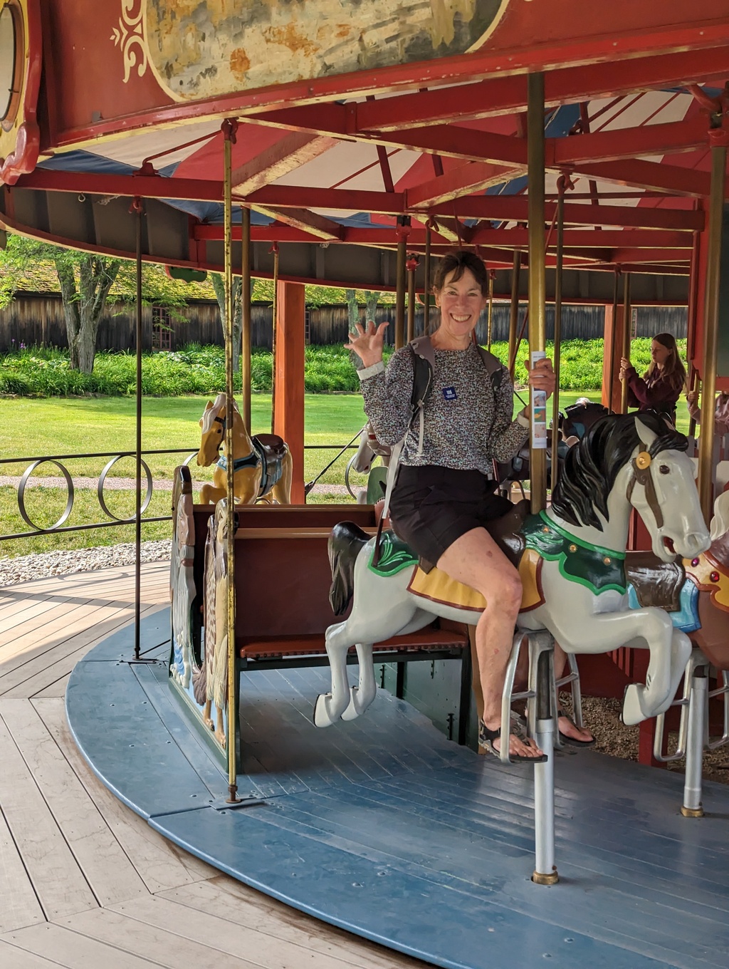
Figure 191: Carousel, Shelburne Museum
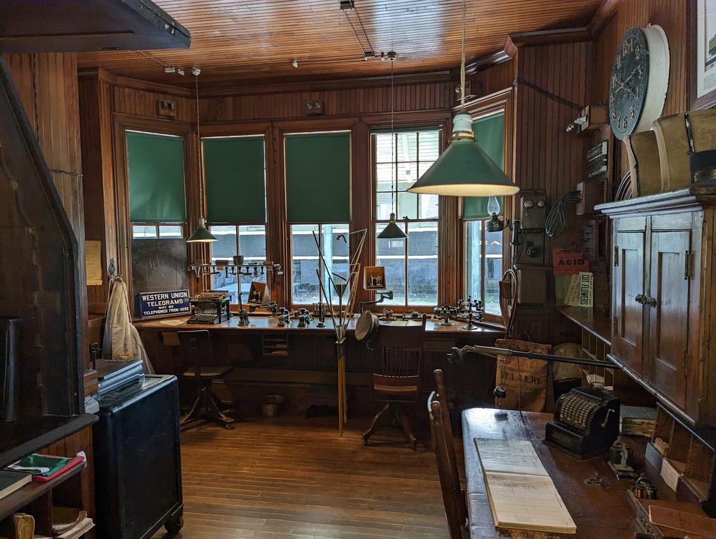
Figure 192: Shelburne Rail Station, Shelburne Museum
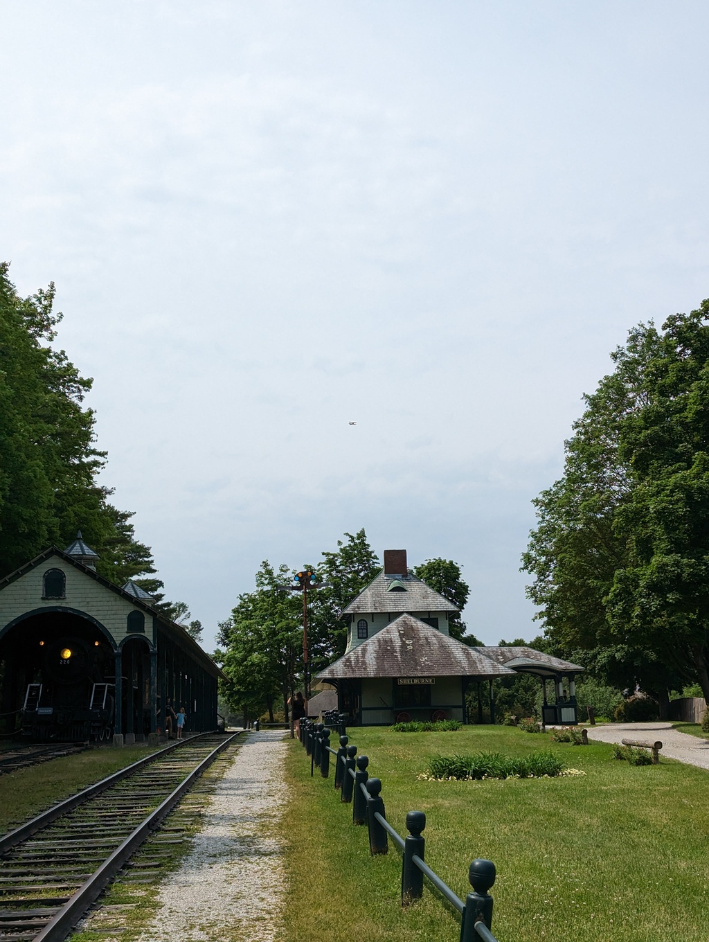
Figure 193: Shelburne Rail Station and Locomotive 220, Shelburne Museum
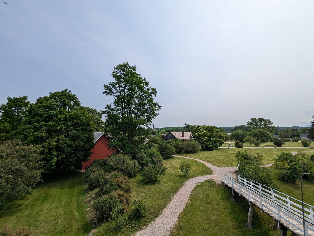
Figure 194: View from steamship Ticonderoga, Shelburne Museum
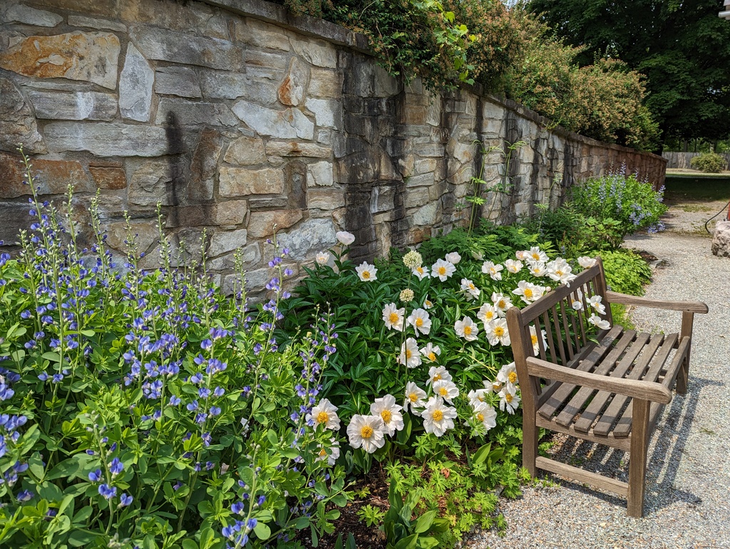
Figure 195: Garden, Shelburne Museum
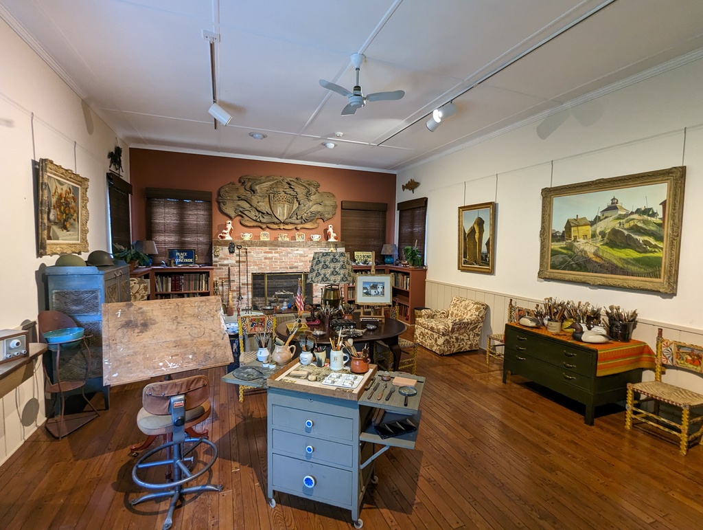
Figure 196: Pleissner’s Studio, Shelburne Museum
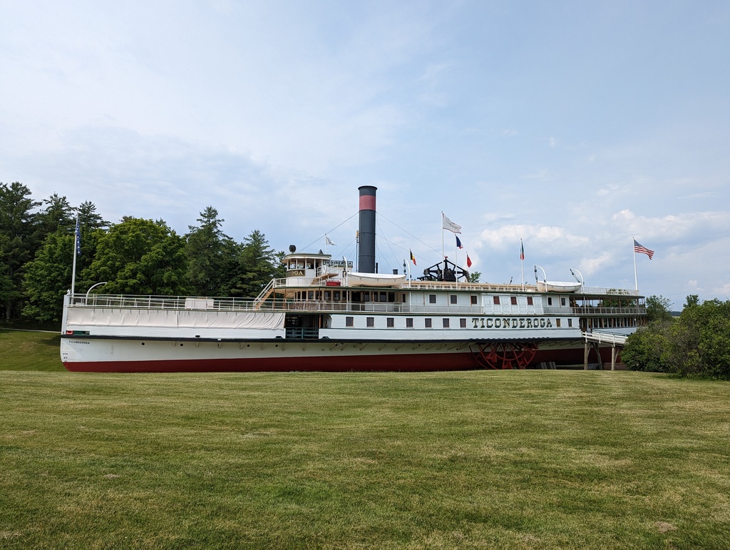
Figure 197: Steamship Ticonderoga, Shelburne Museum
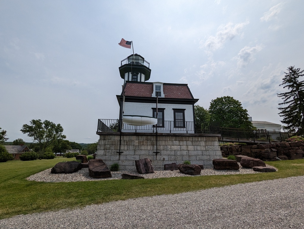
Figure 198: Lighthouse, Shelburne Museum
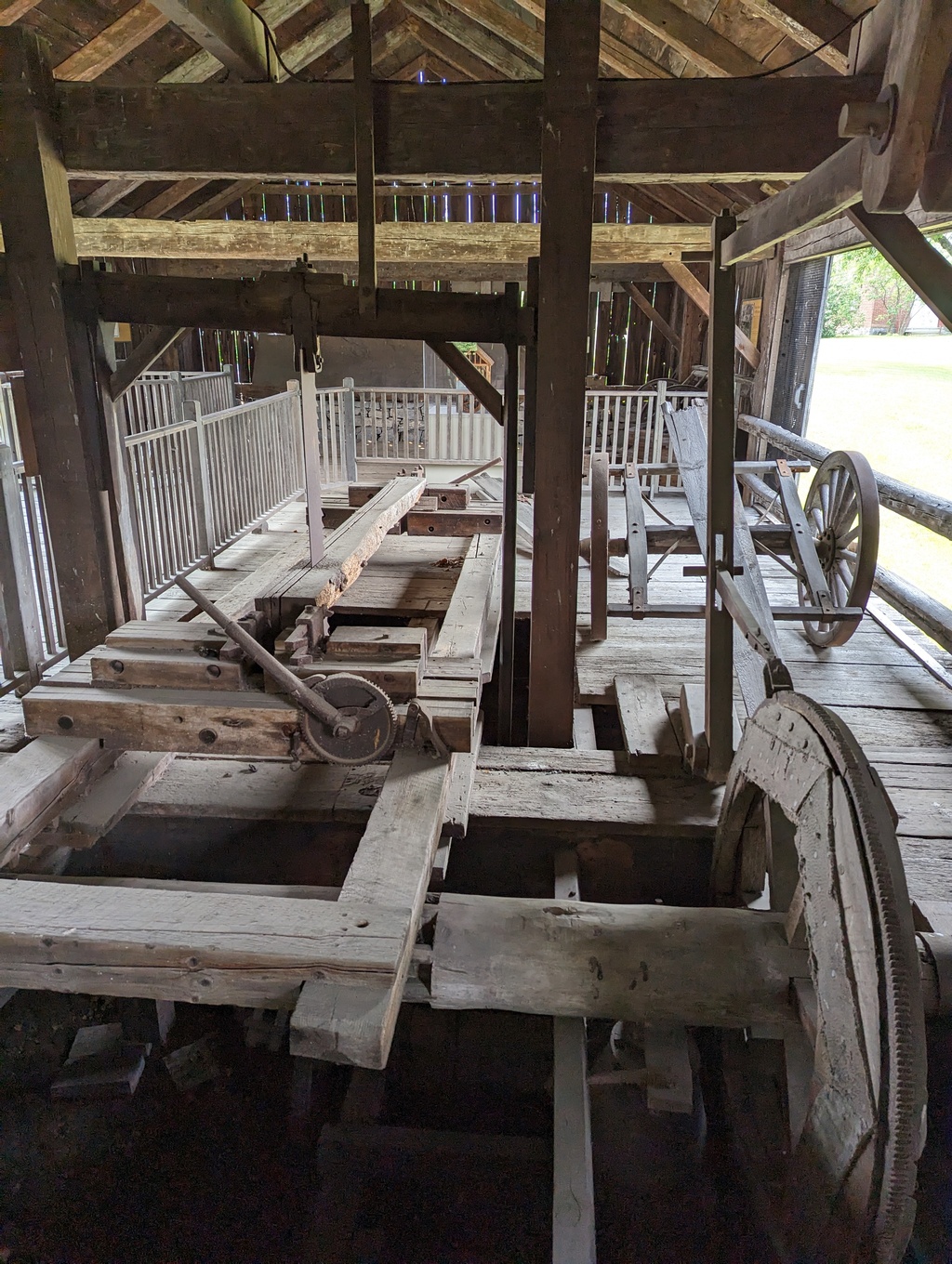
Figure 199: Saw Mill, Shellburne Museum
We put Penguin on a mooring for two days while in Burlington—the first time the batteries were not being charged by long days of motoring or plugged in overnight. Here, we learned Penguin’s (circa 2019) batteries needed replacing. We found exactly the same batteries at closest Walmart so ordered them online. Uber delivered us to Walmart the next morning, only to have Walmart cancel the order while we were at the store—their inventory was wrong. They showed four in stock but had none. Another Uber delivered us to Advance Auto where we picked up a couple slightly better (and more expensive) batteries. The third Uber of the day returned us to the harbor where we, somehow, managed to haul the batteries to Penguin by dinghy. Fun!
-
North Lake Champlain
With fresh batteries, we made a quick trip to Valcour Island, forward progress but close enough to Burlington or Plattsburgh to fix further battery problems if encountered. Our final stop in Lake Champlain was King Bay where we stopped so we could check-in with Canadian Customs when they opened in the morning.
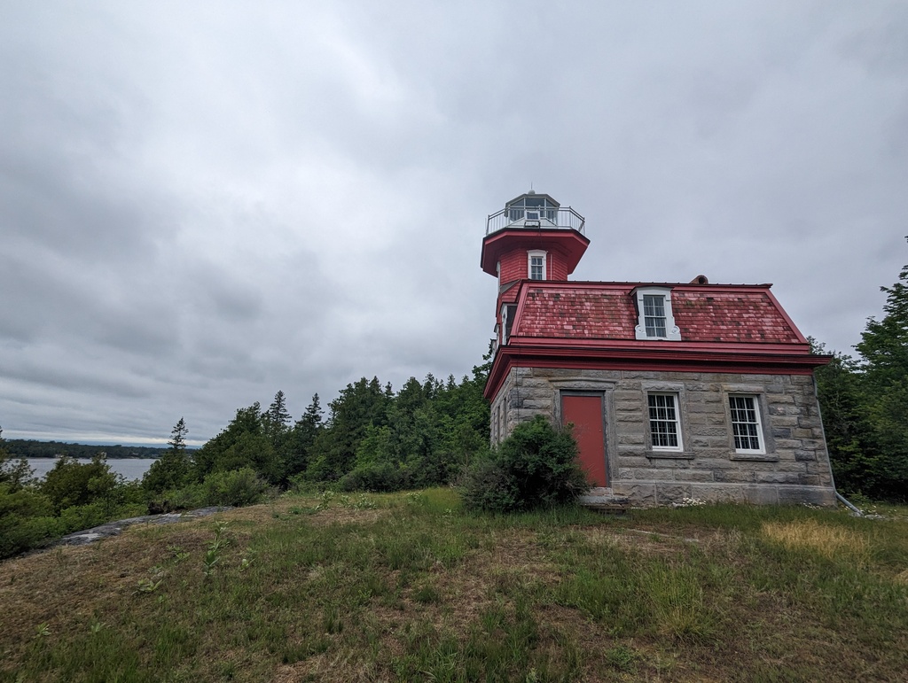
Figure 200: Bluff Point Light, Valcour Island NY
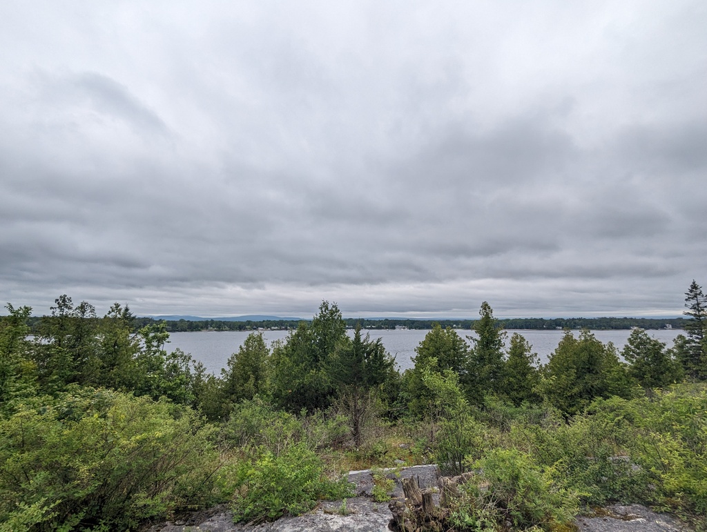
Figure 201: Valcour Bay and Plattsburgh NY
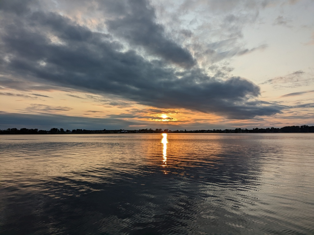
Figure 202: King Bay, NY
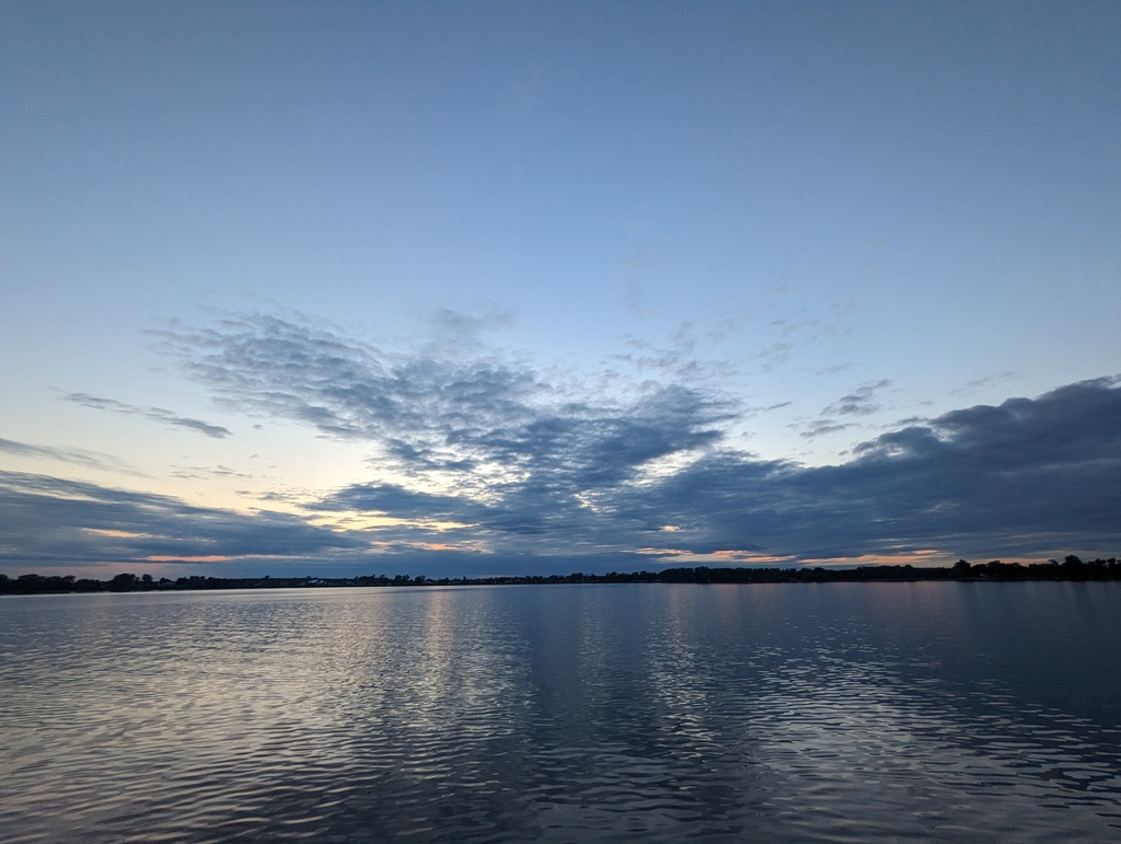
Figure 203: King Bay, NY
New York City to Waterford, NY
We traveled this segment between June 7-12. Distance traveled was 147 miles. Our plan was to continue traveling quickly to Waterford.
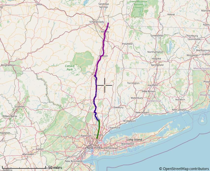
Figure 204: New York City to Waterford, NY
The Hudson River runs through the Hudson Valley between the Adirondack Mountains and New York Harbor. We were looking forward to the spectacular scenery we remembered from bringing Penguin to her new home in Maryland. We started the day in Atlantic Highlands and then traveled through New York City. Exiting the Harlem River and turning north quickly had us passing under the new Tappan Zee Bridge. We’ve traveled over the bridge many times visiting family in Connecticut. It was fun to see it from the other side!
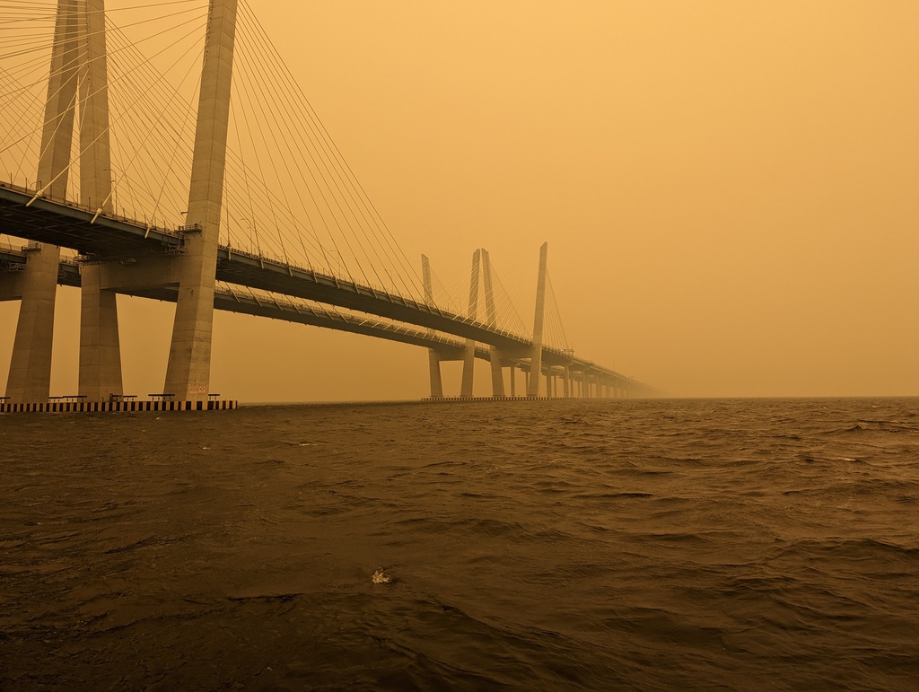
Figure 205: Tappan Zee Bridge
We stopped to anchor overnight in Croton Bay near Crotonville and Ossinng. The village of Ossinng, formerly Sing Sing, changed its name to avoid begin associated with the legendary Sing Sing prison.
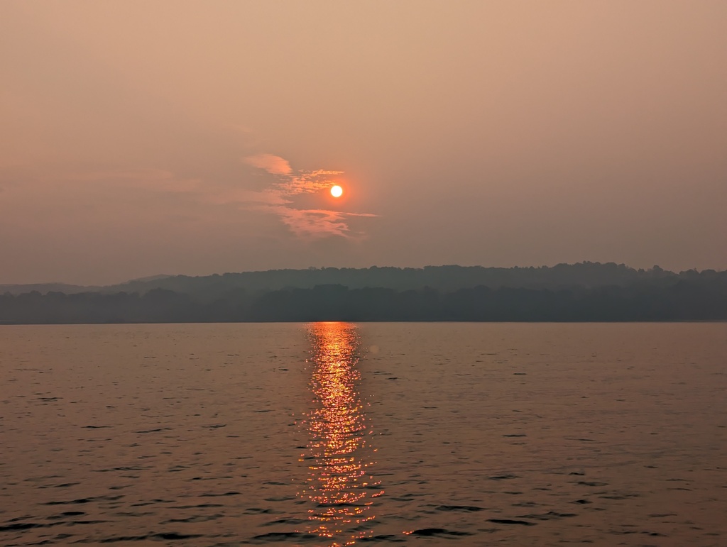
Figure 206: Sunset at Croton Bay
In the morning, We launched the kayaks—their maiden voyage for the trip—and rowed to Crotonville to walk and shop. The smoke we noticed in New York City cleared up with over night rain.
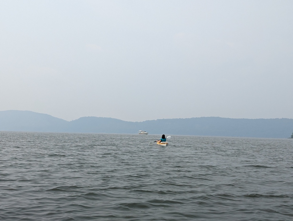
Figure 207: Kayaking on Croton Bay
With kayaks stowed, we continued up the Hudson to Bear Mountain State Park and anchored in Doodletown Bight.
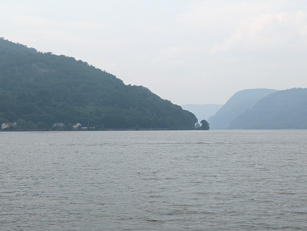
Figure 208: Round Island, Hudson River Valley
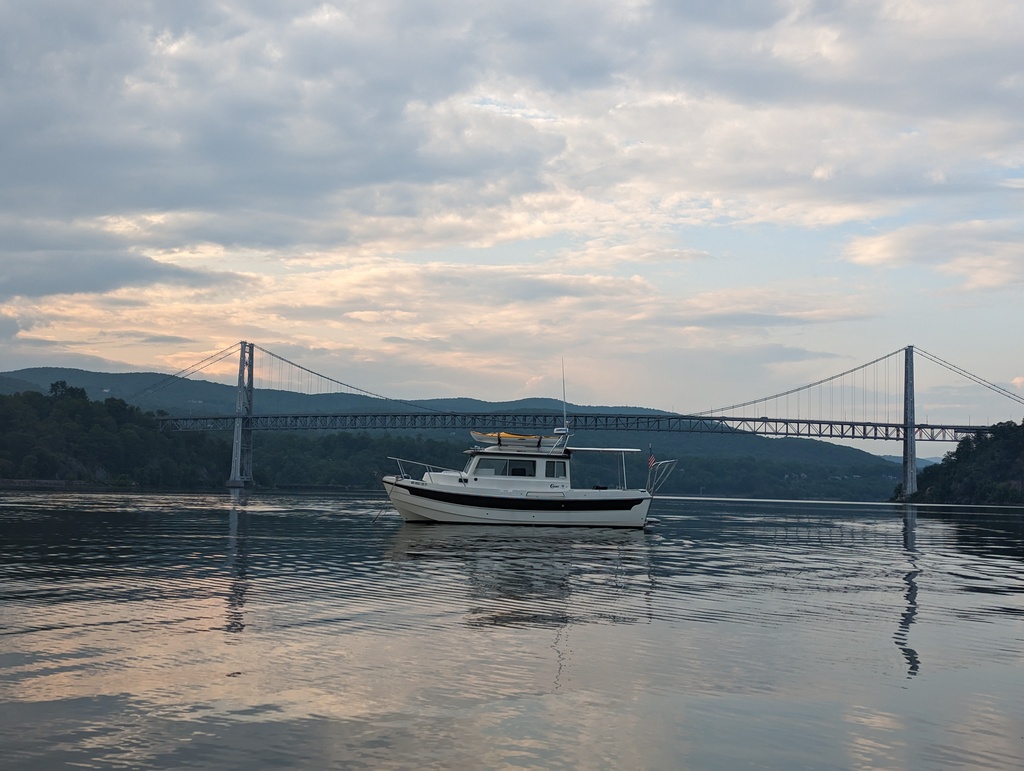
Figure 209: Penguin and Bear Mountain Bridge
Once anchored, we dinghied to the park’s dock and explored: walking across Bear Mountain Bridge and around the park.
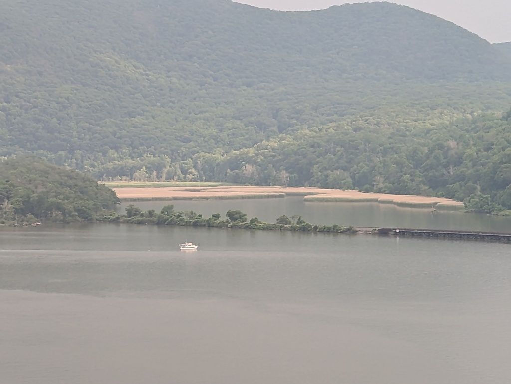
Figure 210: Penguin in Doodletown Bight from Bear Mountain Bridge
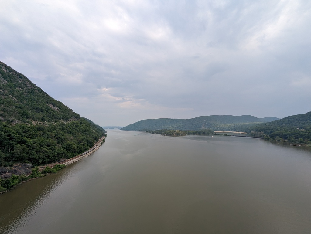
Figure 211: Amtrak running down the Hudson Valley from Bear Mountain Bridge
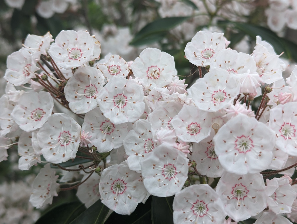
Figure 212: Mountain Laurel Blossoms in Bear Mountain State Park
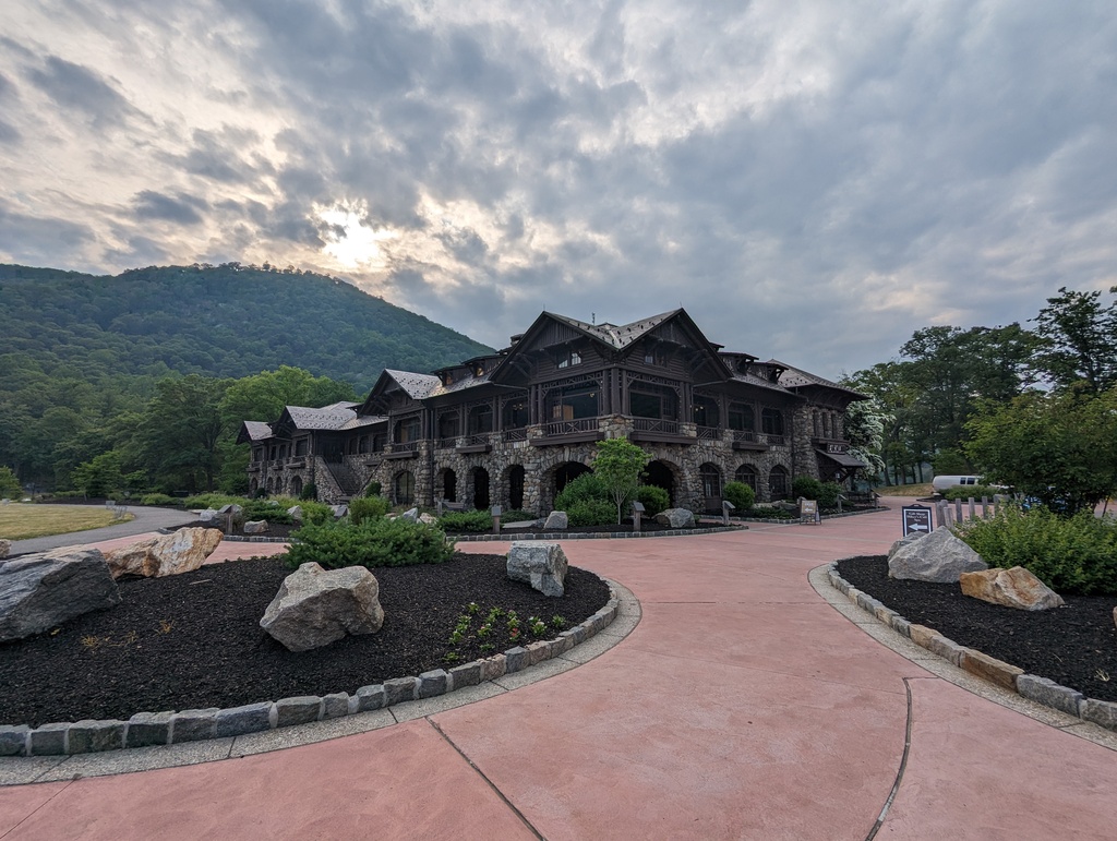
Figure 213: Bear Mountain Lodge
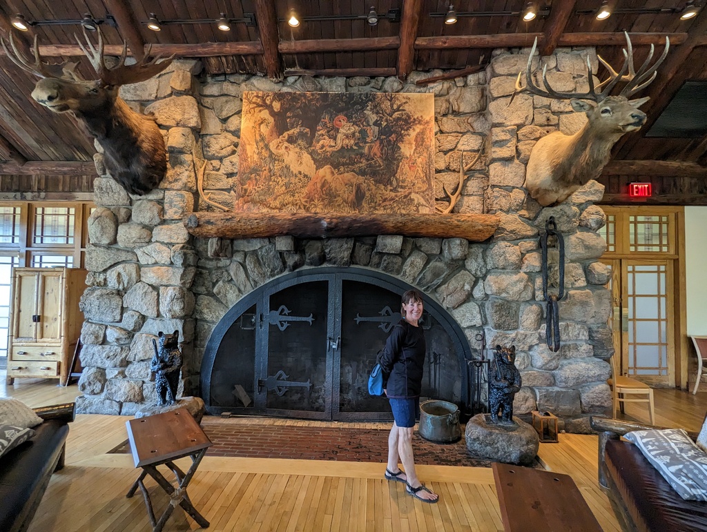
Figure 214: Dining Room of Bear Mountain Lodge
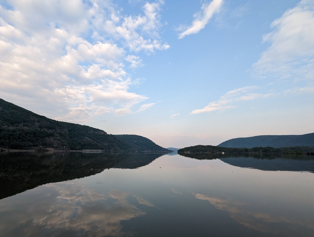
Figure 215: Hudson River from Bear Mountain State Park Dock
We got an early start, bound for Kingston NY.
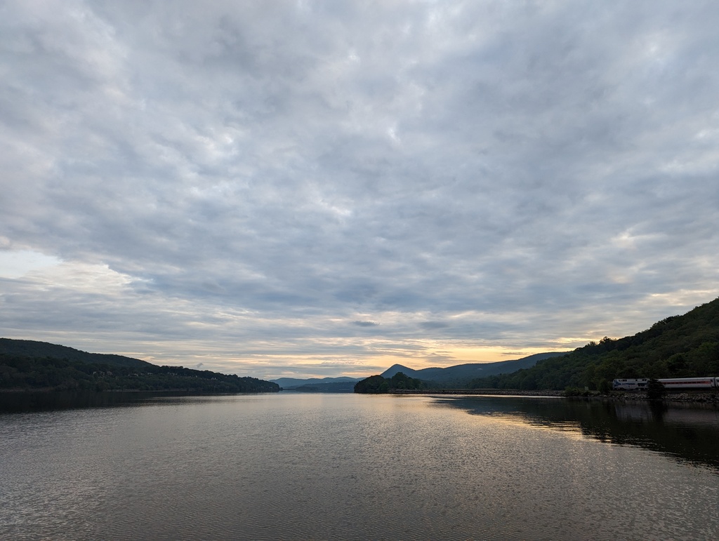
Figure 216: Sunrise on the Hudson River near Bear Mountain State Park
West Point looks like an imposing fortress on a sharp corner of the river.
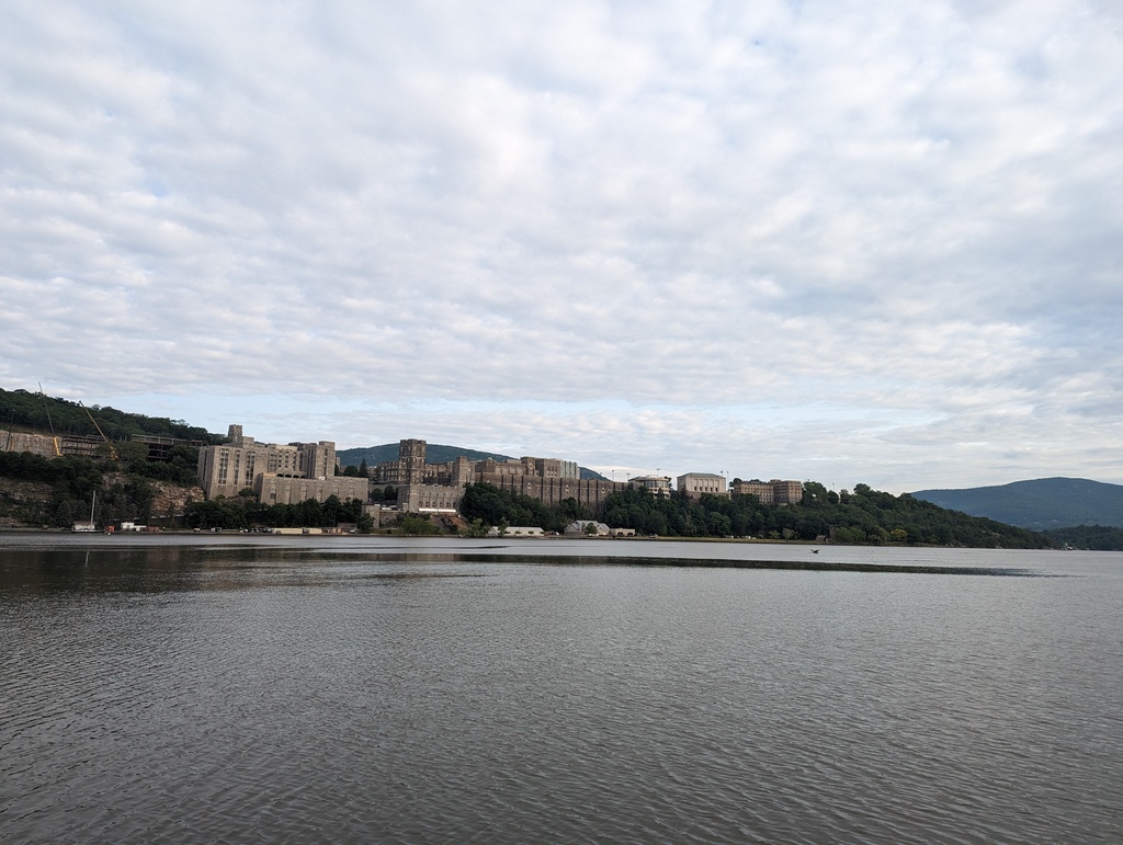
Figure 217: West Point, West Point NY
The Bannerman Castle ruins speak to Hudson Valley’s industrial heritage and the immense wealth it generated.
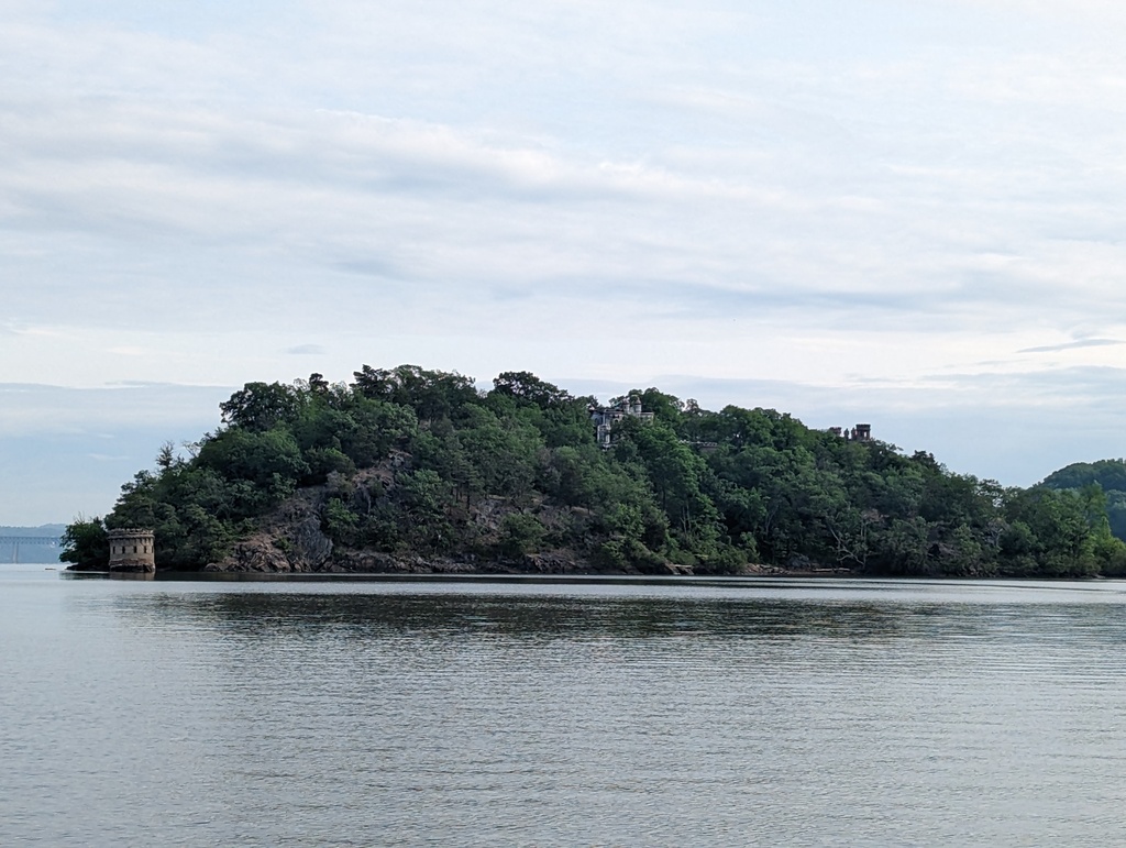
Figure 218: Bannerman Castle Ruins, Pollepel Island
Several of the Hudson’s lighthouses are along this section of the river.
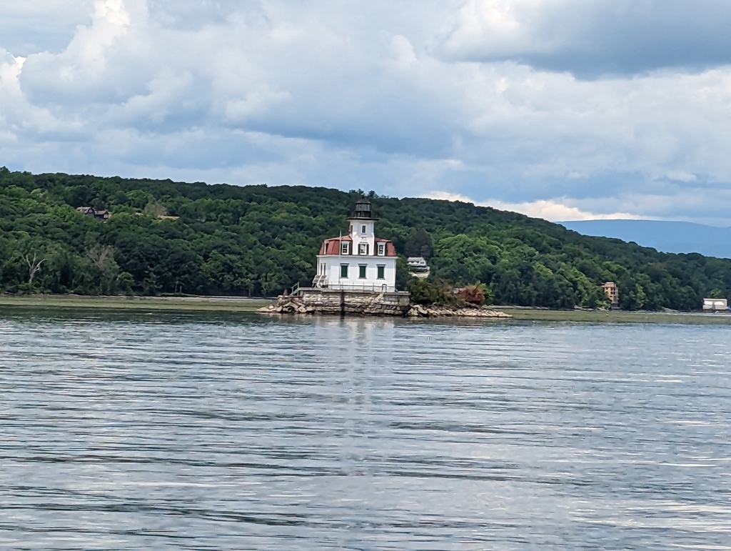
Figure 219: Esopus Lighthouse, Esopus NY
Figure 220: Rondout Lighthouse, Kingston NY
An early arrival in Kingston earned us a spot at the dock of Ole Savannah Southern table, ‘free’ for the cost of a meal. We took a long walk around town and out to Kingston Point. A light fog greeted us on our early departure, bound for Waterford
Figure 221: Morning fog on the Hudson, Kingston NY
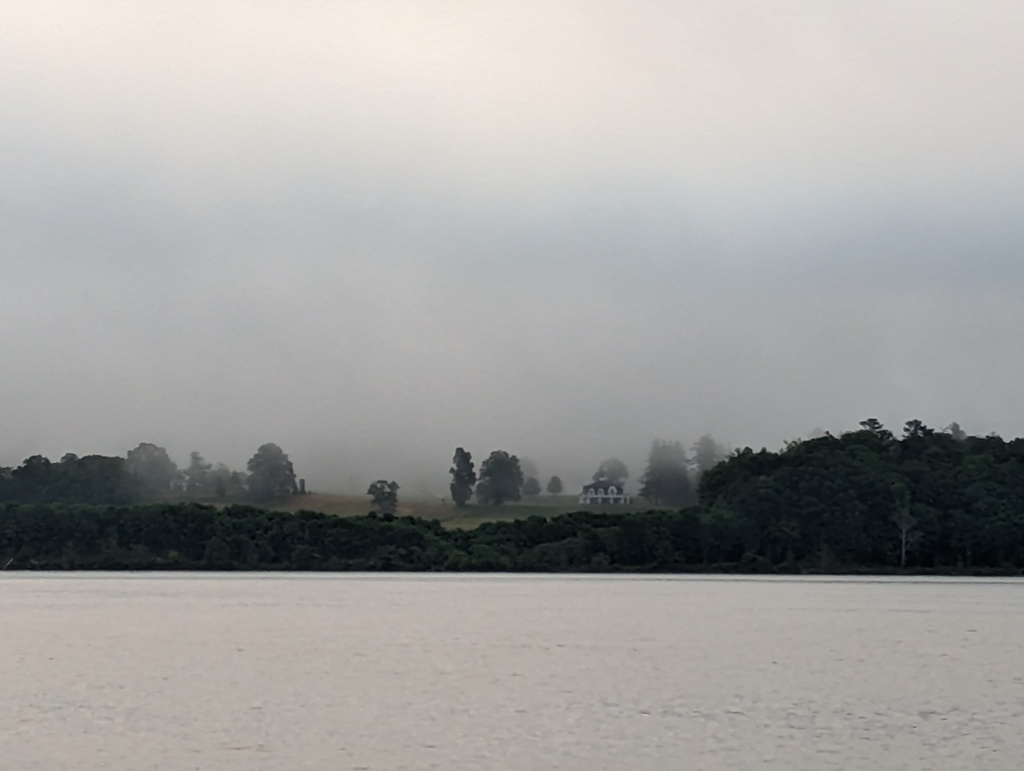
Figure 222: Morning fog on the Hudson, Kingston NY
The Federal Lock in Troy NY marks the end of the Hudson’s tidal range and was our first lock of the trip.
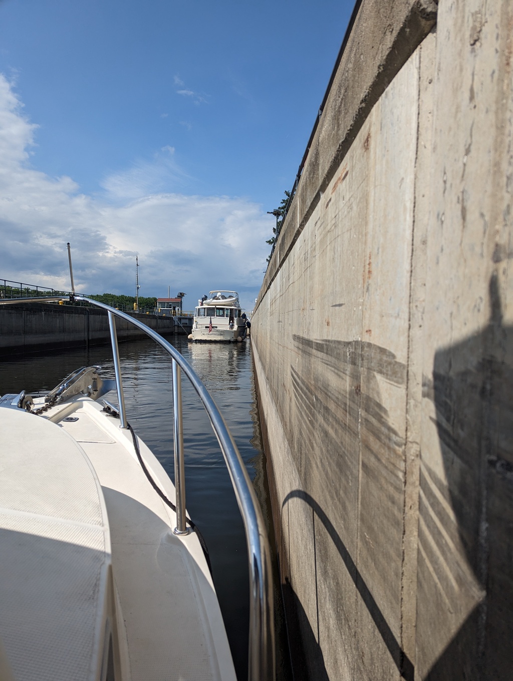
Figure 223: Federal Lock, Troy NY
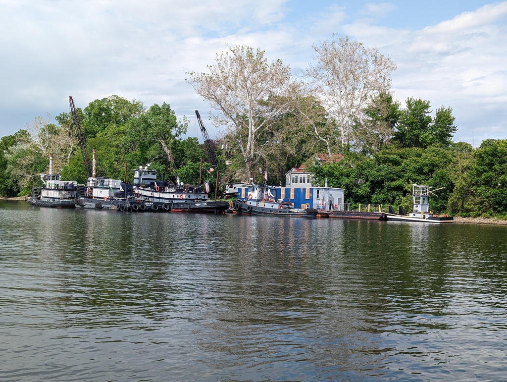
Figure 224: Tugboats, Troy NY
Waterford is where the Hudson River meets the Erie Canal and Champlain Canal – it was busy. We arrived early enough to get a coveted spot at the town dock. We spent two days here, walking around Waterford and Cohoes, an adjacent town. Of course, we stopped at the Angry Penguin, a Penguin tradition.
Figure 225: Happy Penguin, Waterford NY
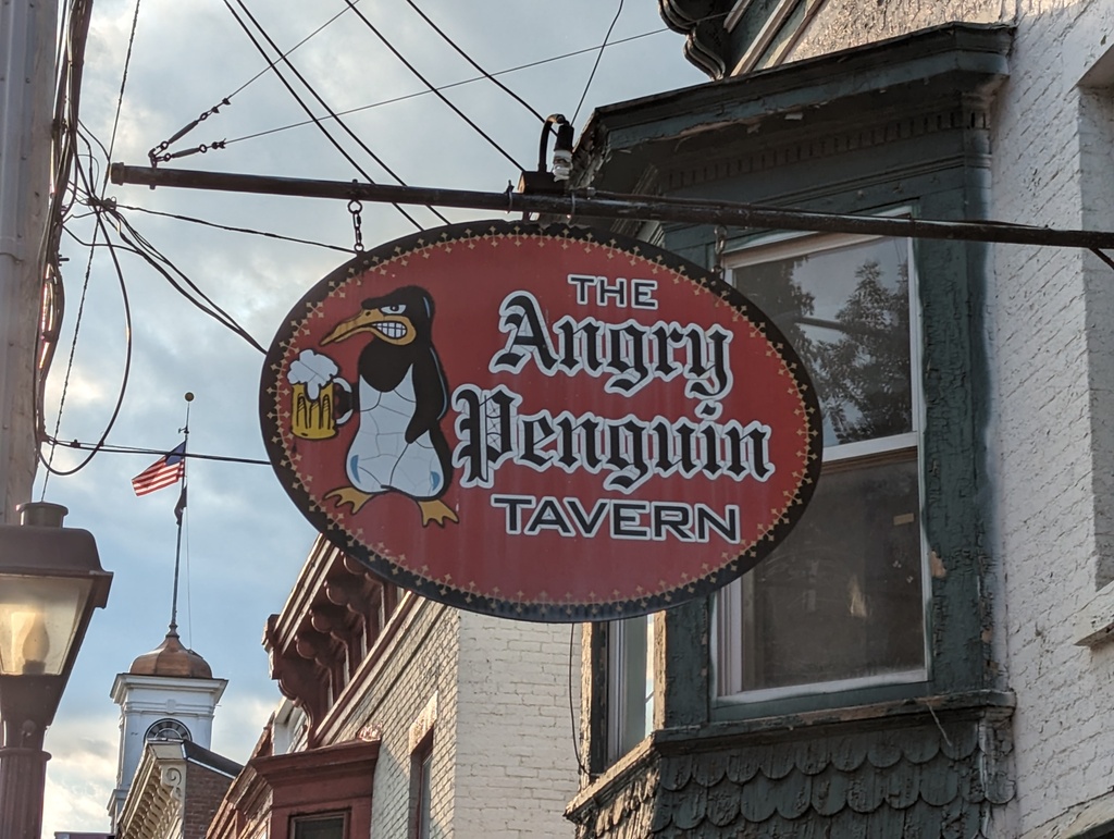
Figure 226: Angry Penguin, Waterford NY
Solomons Island to New York City
We traveled this segment between June 3-7. Distance traveled was 361 miles.
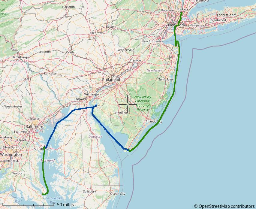
Figure 227: Solomons to New York City
We left Solomons Island, MD on June 3 for a trip to circumnavigate the eastern United States – The Great Loop. The first leg was from Solomons Island through New York City. We planned to travel rapidly through to Waterford, NY because we are very familiar with the Chesapeake and covered the same ground when we brought Penguin home from her previous home, Macedon, NY.
Figure 228: Goodbye!
A late start had us arriving at our first anchorage, Whitehall Bay near Annapolis MD, as the sun was beginning to set.
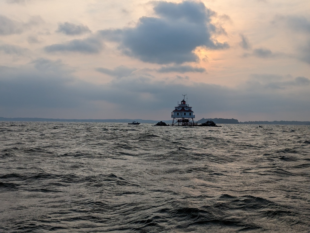
Figure 229: Thomas Point Lighthouse, Chesapeake Bay, MD
We planned to stop in Chesapeake City along the Chesapeake and Delaware Canal (C&D) the next day, but it was the weekend and mobbed. We continued to Salem River, NJ, across from the C&D’s Delaware Bay entrance, and anchored for the night.
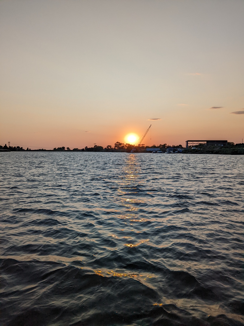
Figure 230: Salem River, NJ Anchorage
The third day, we traveled to Cape May, NJ at the mouth of Delaware Bay and anchored off the Cape May Coast Guard Station.
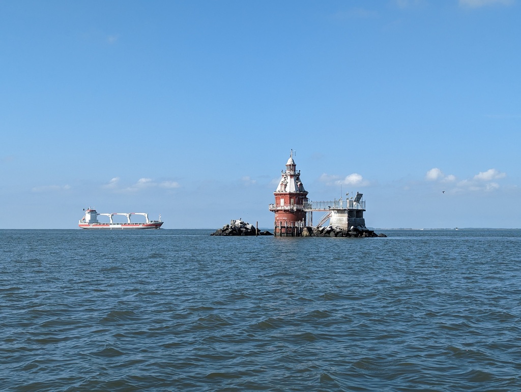
Figure 231: Cross Ledge Light, Delaware Bay
Figure 232: Cape May, NJ
With a favorable forecast for the next day, we left Cape May for Sandy Hook, NJ at dawn. By the time we reached Tom’s River Inlet, we began thinking we might arrive well after sunset. Helpfully, a tidal boost kicked in and we arrived at the first viable anchorage, Sandy Hook Cost Guard Station, with just enough light to see while we “dropped the hook” – a very long day. We spent an uneasy night at this exposed anchorage with waves from wind and passing boats.
Figure 233: Offshore of Atlantic City in route to Sandy Hook, NJ
After fueling in Atlantic Highlands, we made our way up to New York City. On a whim, we decided to take the East and Harlem Rivers around the city instead of the Hudson River, which we traveled on an earlier trip. While we turned from East River before the (in)famous Hells Gate, navigation with currents and commercial traffic were challenging enough! Fortunately, the tide provided a favorable boost. We started to notice smoke in this area from the Quebéc wildfires.
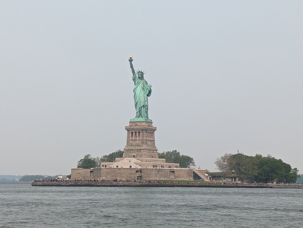
Figure 234: Statue of Liberty, New York Harbor
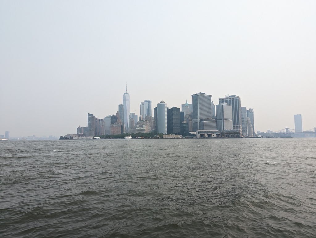
Figure 235: Manhattan from New York Harbor
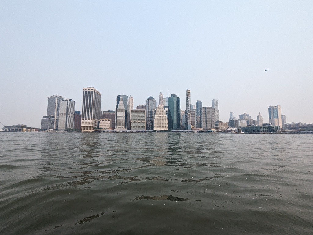
Figure 236: Manhattan from East River
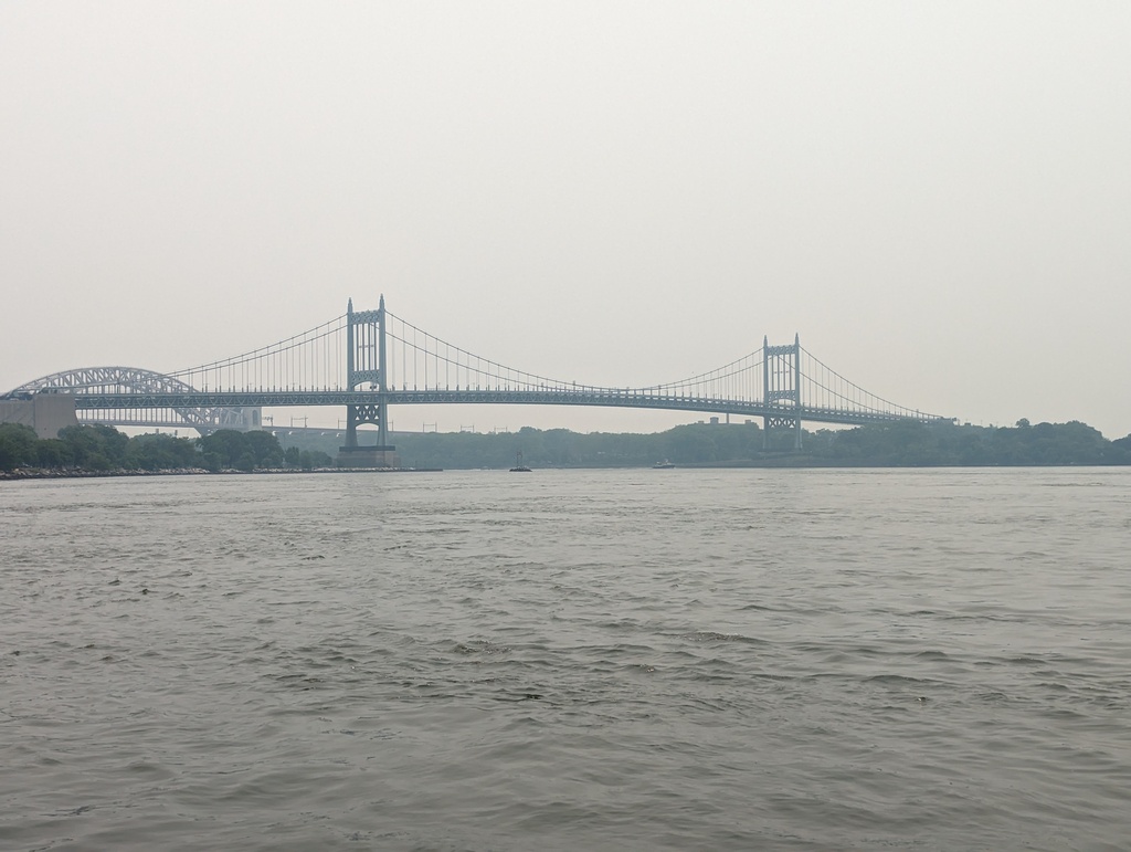
Figure 237: East River Bridges
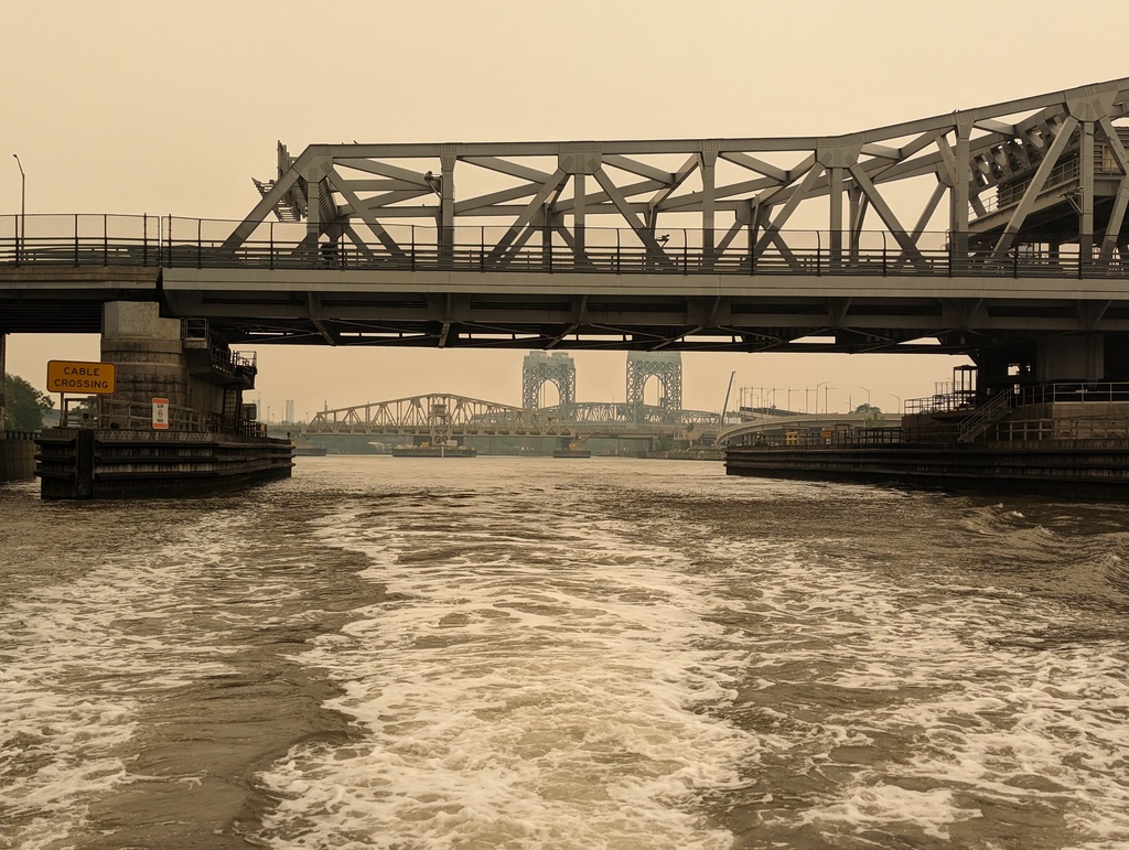
Figure 238: Harlem River Bridges
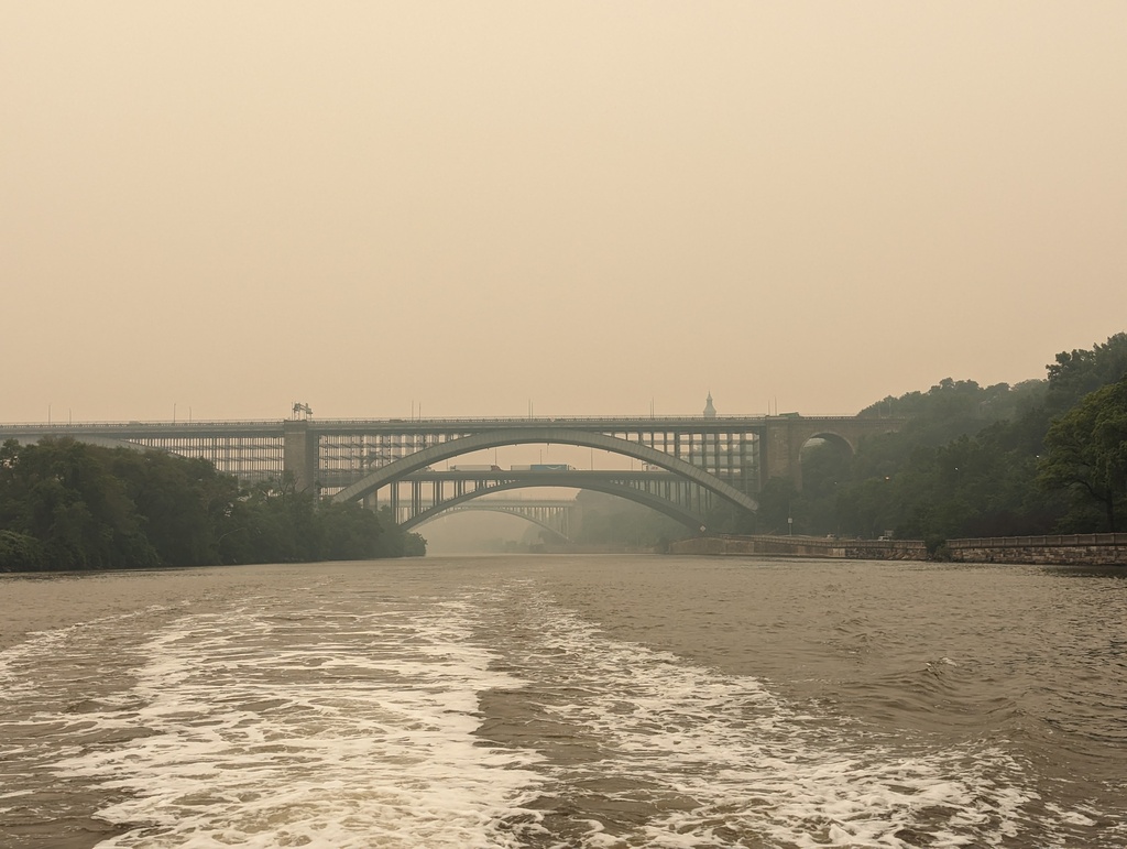
Figure 239: Harlem River Bridges
At the junction of the Harlem and Hudson Rivers we found the Spuyten Duyvil railroad swing bridge with 5 foot clearance, serving the West Side Line for Amtrak – serving the West bank of the Hudson River, Albany and Burlington. We hailed the bridge on the VHF; no reply. Inching forward, we saw a sign with a contact number and phoned; no answer. As we began to think about re-tracing our way to the tip of Manhattan and paying for the earlier tidal boost, the bridge signal sounded!. On to the Hudson!
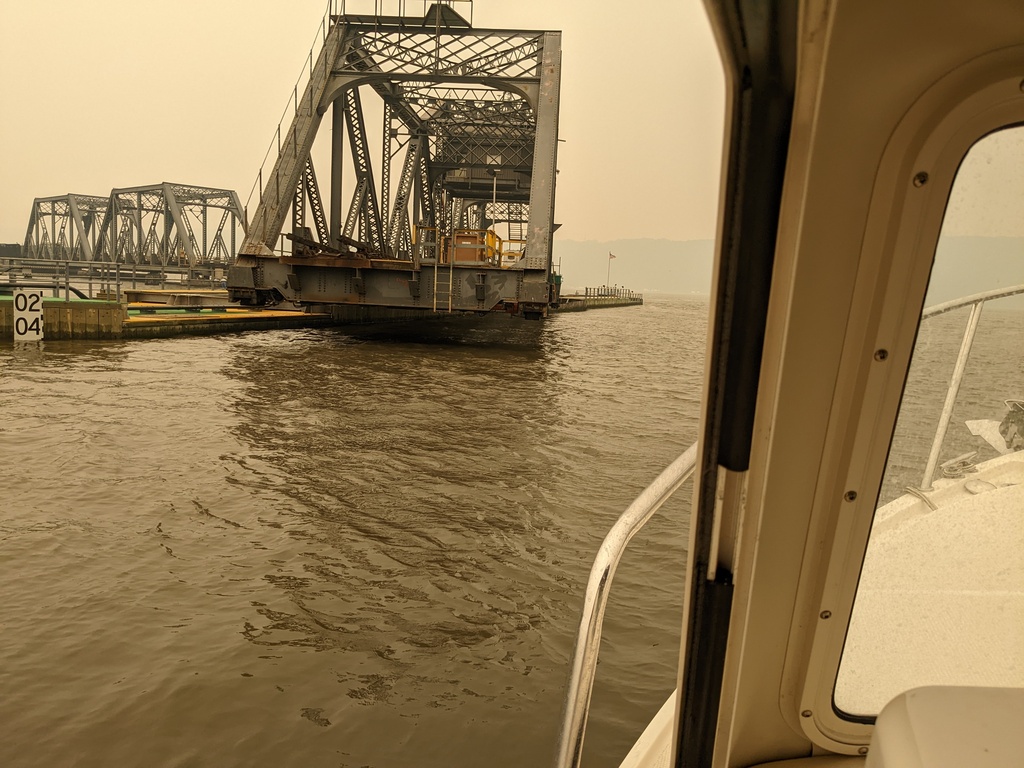
Figure 240: Spuyten Duyvil railroad swing bridge (bf)
TODO 1000 Islands
aa
TODO Trent-Severn Waterway
aa
TODO Georgian Bay
aa
TODO Day in the Life
One day in the life of Brigid and Wayne cruising the Great Loop on Penguin!
Figure 241: Captain Brigid piloting Penguin through Go Home Chute, Georgian Bay, ON
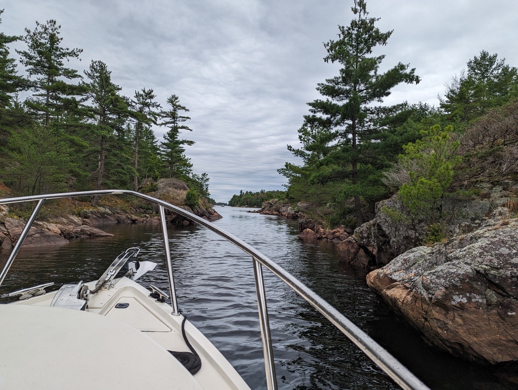
Figure 242: Go Home Chute, Georgian Bay, ON
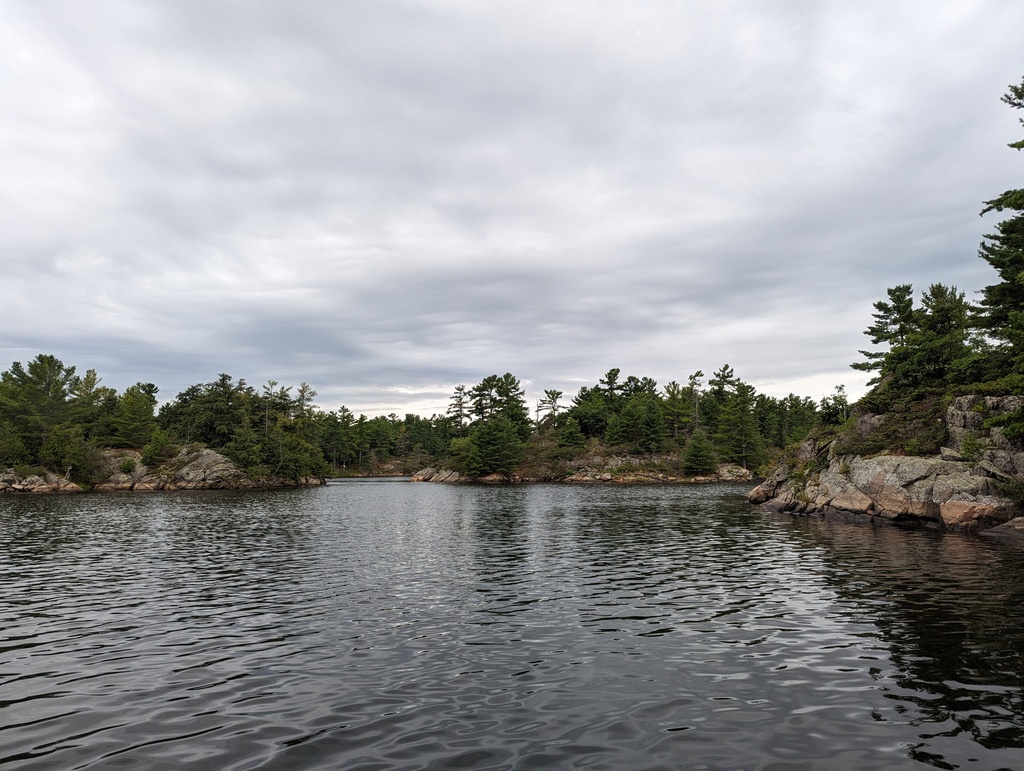
Figure 243: Go Home Bay, Georgian Bay, ON
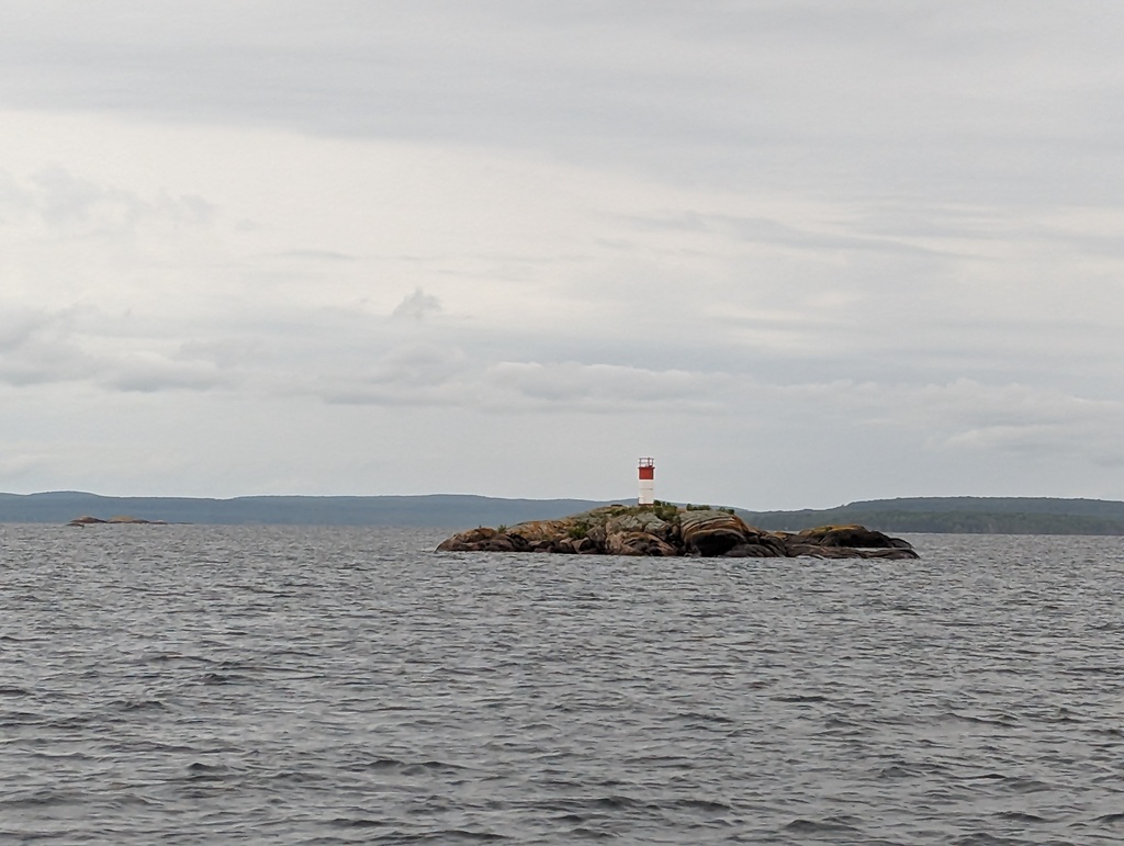
Figure 244: Lighthouse near Go Home River, Georgian Bay, ON
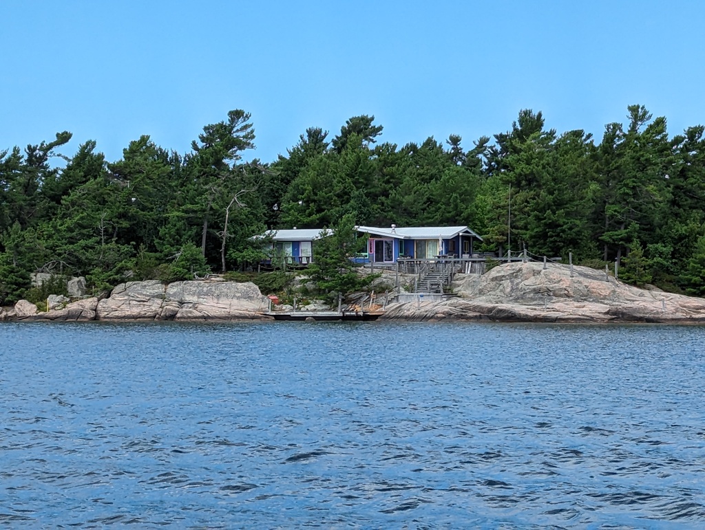
Figure 245: Whimsey near the Go Home River, Georgian Bay, ON
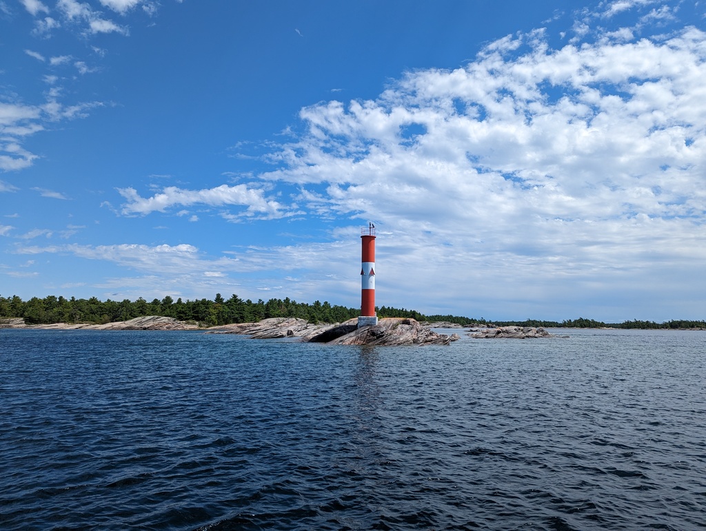
Figure 246: Lighthouse near Donald Island, Georgian Bay, ON
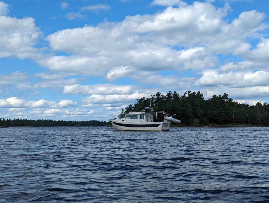
Figure 247: Loon Island Anchorage, Massasagua Provincial Park, ON
Figure 248: Loon Island Anchorage, Massasagua Provincial Park, ON
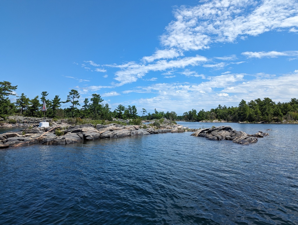
Figure 249: Kayaking around Loon Island, Massasagua Provincial Park, ON
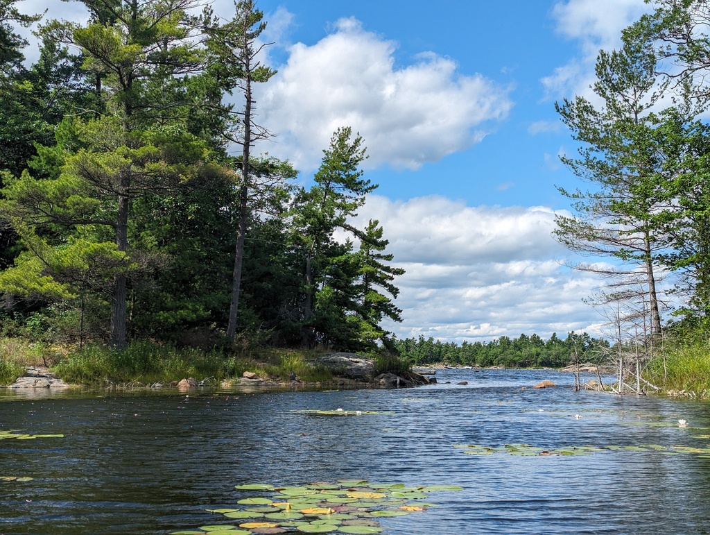
Figure 250: Kayaking around Loon Island, Massasagua Provincial Park, ON
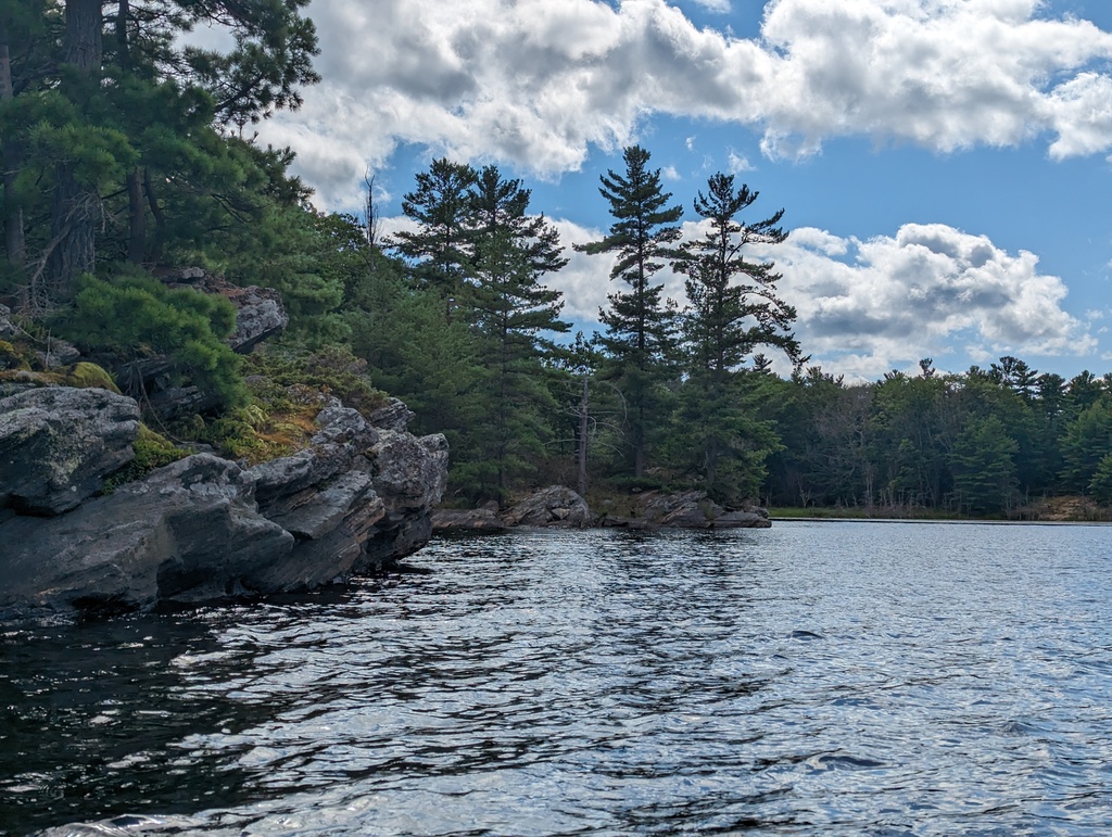
Figure 251: Kayaking around Loon Island, Massasagua Provincial Park, ON
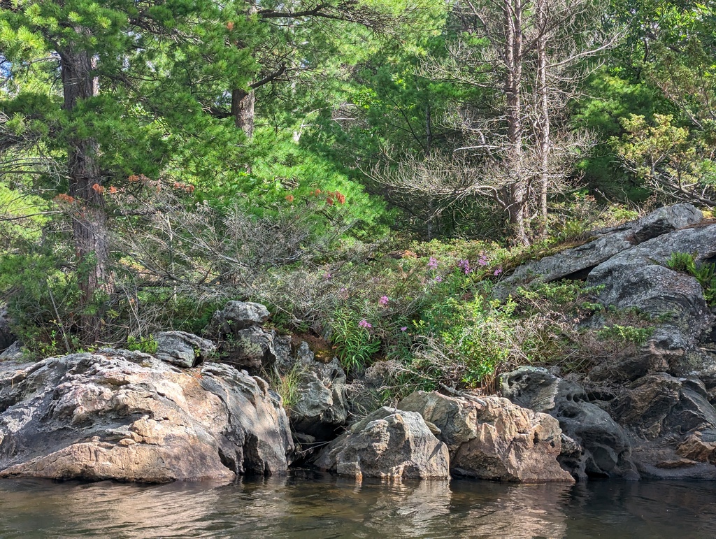
Figure 252: Kayaking around Loon Island, Massasagua Provincial Park, ON
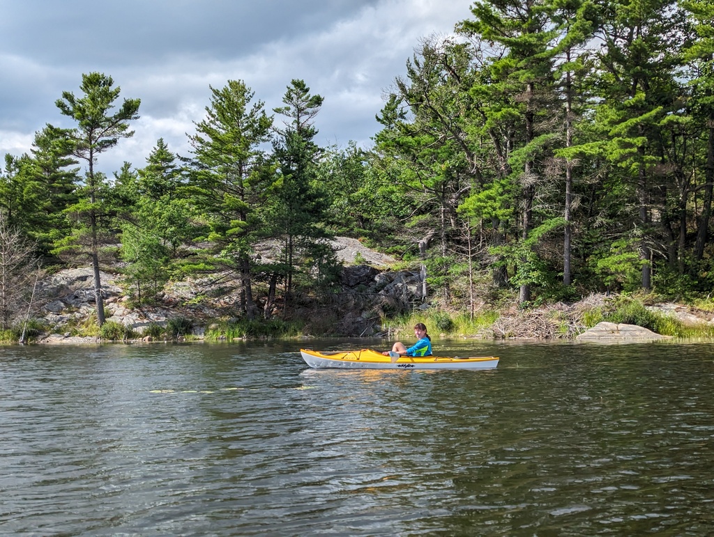
Figure 253: Kayaking around Loon Island, Massasagua Provincial Park, ON
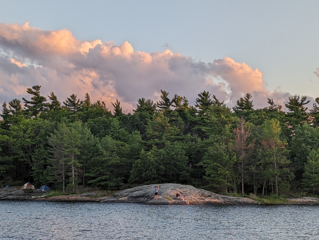
Figure 254: Sunset Over Loon Island, Massasagua Provincial Park, ON
Figure 255: Sunset Over Loon Island, Massasagua Provincial Park, ON