Summary
We traveled 140.9 miles on this segment from June 29-July 2 and enjoyed Ottawa July 2-3
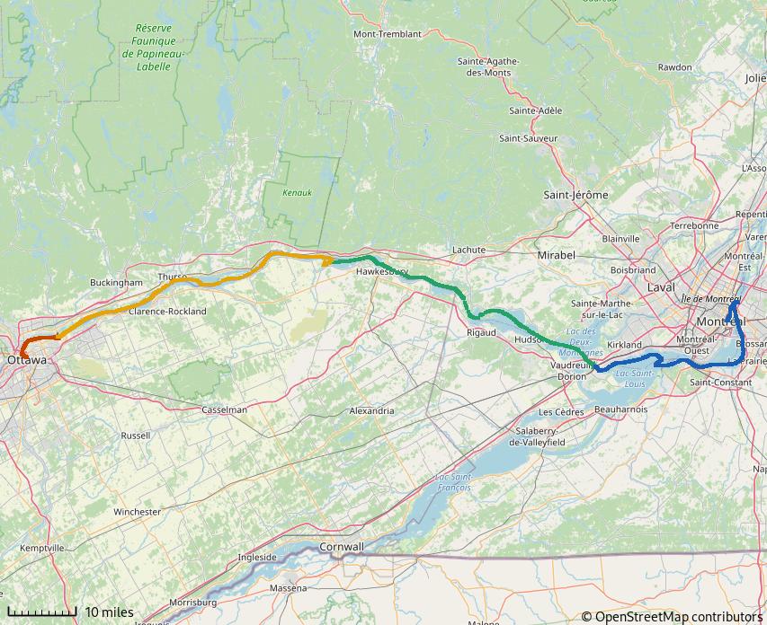
Figure 1: Montréal to Ottawa
We planned to reach Ottawa in time for Canada Day, commemorating the anniversary of Canada’s Confederation
CANADA DAY commemorates the anniversary of Canada’s Confederation – July 1, 1867 – when three British North American provinces; Province of Canada, Nova Scotia and New Brunswick; were federated into the Dominion of Canada. Confederation was driven, in part, by the fear that the United States would retaliate for British unofficial support for the South during the American Civil War. America’s recent acquisition of Alaska and a seasoned standing army drove fears America would again try to annex British North American provinces.
We had heard that the celebration in Ottawa was special and hoped to see for ourselves.
Getting to Ottawa
The Lachine rapids prevent navigation on the Saint Lawrence River beyond Montreal. The Lachine canal was opened in 1825 to bypass the rapids. By the 1970’s, ship sizes exceeded the Lachine’s capacity; the South Shore Canal of the Saint Lawrence Seaway was built to accommodate larger ships.
South Shore Canal
The South Shore Canal includes the Saint Lambert Lock, Saint Catherine Lock and 20 miles of embankments providing navigable depths. Each lock is 766x80ft and accommodates ships up to 740ft length and 78ft beam.
To enter the South Shore canal, we returned down the Saint Lawrence river to round Saint Helens Island. It was a lot more fun heading down current!
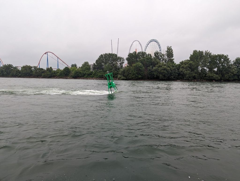
Figure 2: With the current this time!
Saint Lambert Lock
Our first encounter with big ships, Saint Lambert Lock provides 15ft lift. Each cycle of the lock requires 6.9M gallons of water (which would flow through the rapids otherwise).
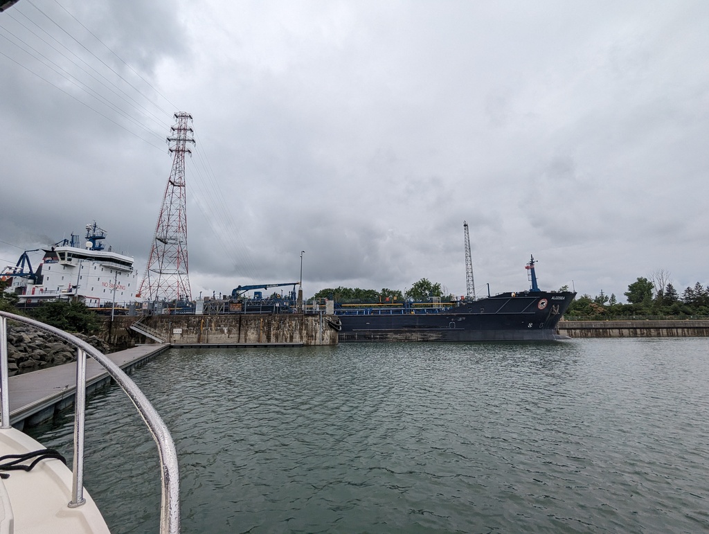
Figure 3: Mixing with the big boys now!
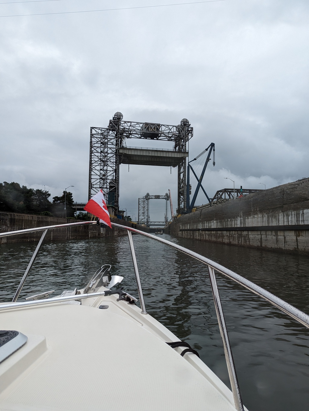
Figure 4: Saint Lambert Lock
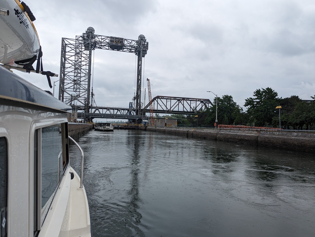
Figure 5: Saint Lambert Lock
Saint Catherines Lock
Embankments create a pool between the two locks. Saint Catherines Lock provides 20ft lift and requires 9.2M gallons of water for each cycle.
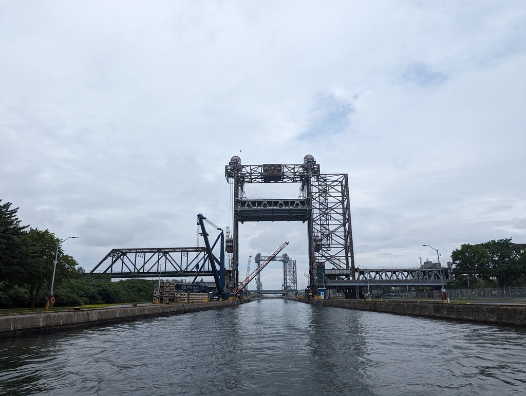
Figure 6: Saint Catherines Lock
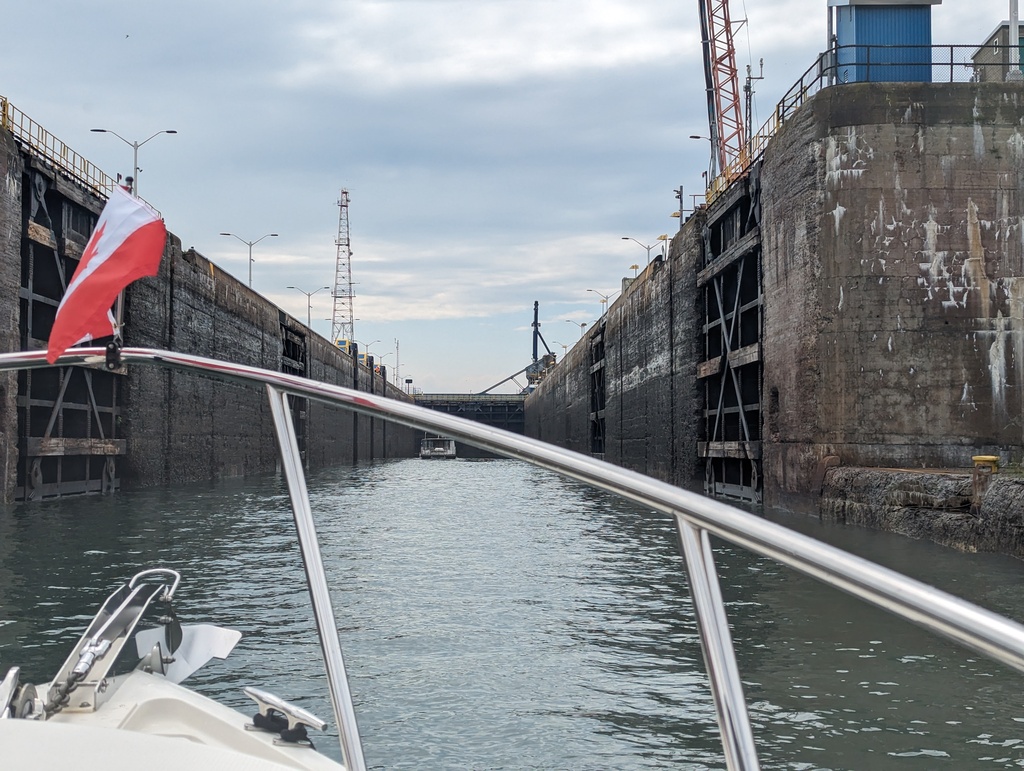
Figure 7: Saint Catherines Lock
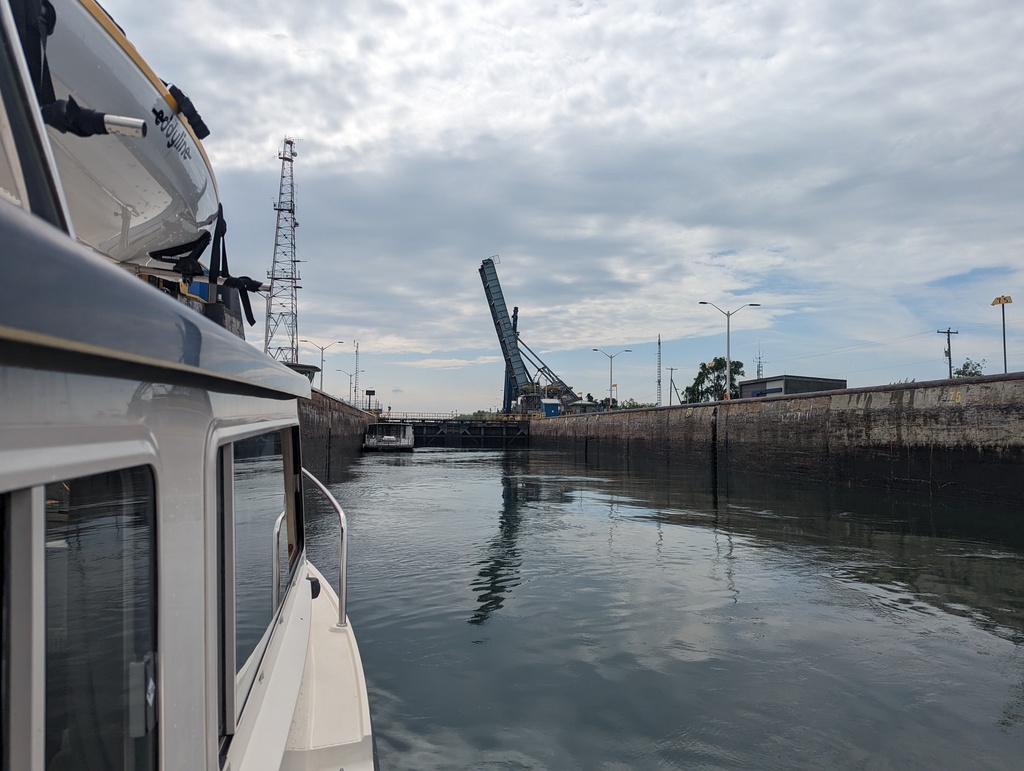
Figure 8: Saint Catherines Lock
Embankments
Embankments continue after the two locks to provide navigation beyond the Lachine Rapids. A couple of down-river bound freighters passed us in the canal.
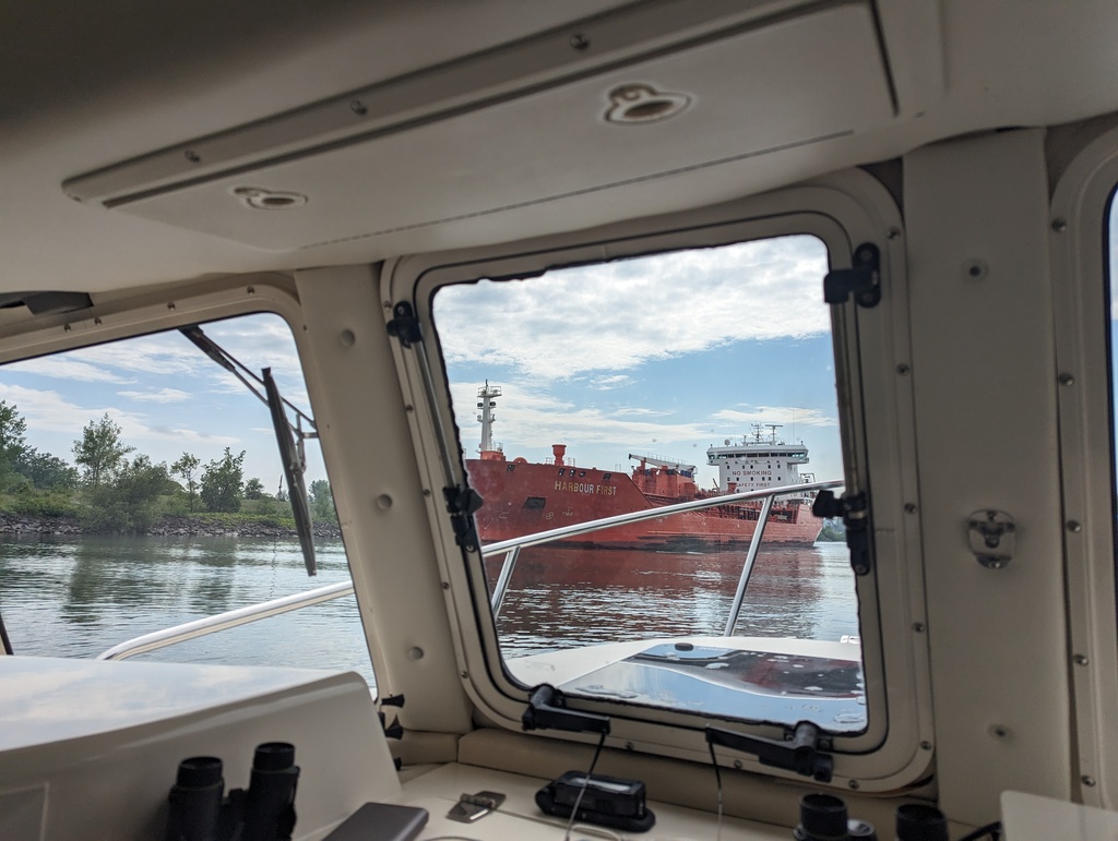
Figure 9: Down-river bound
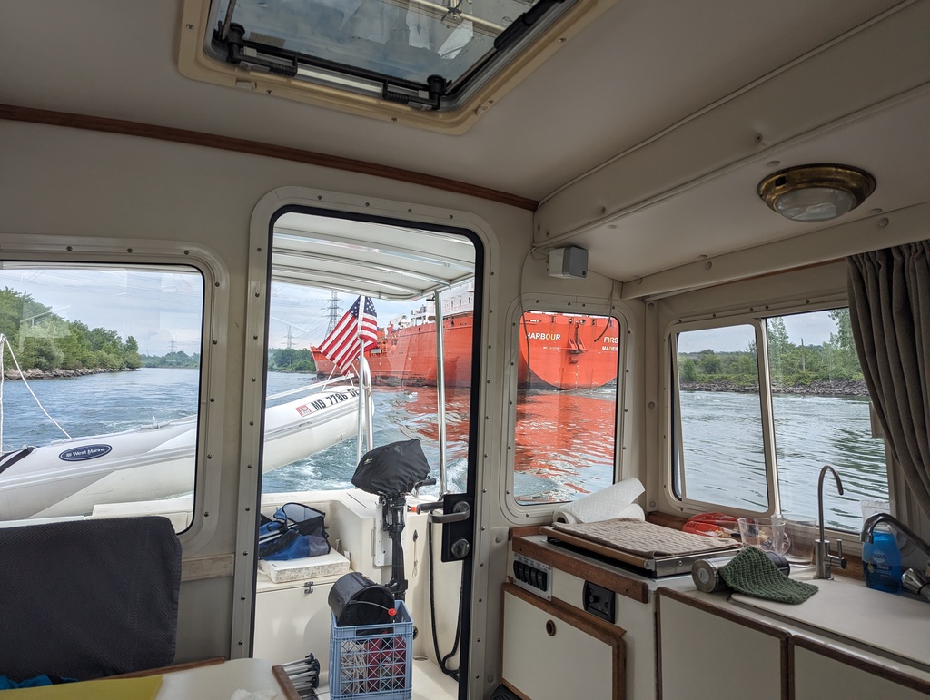
Figure 10: Down-river bound
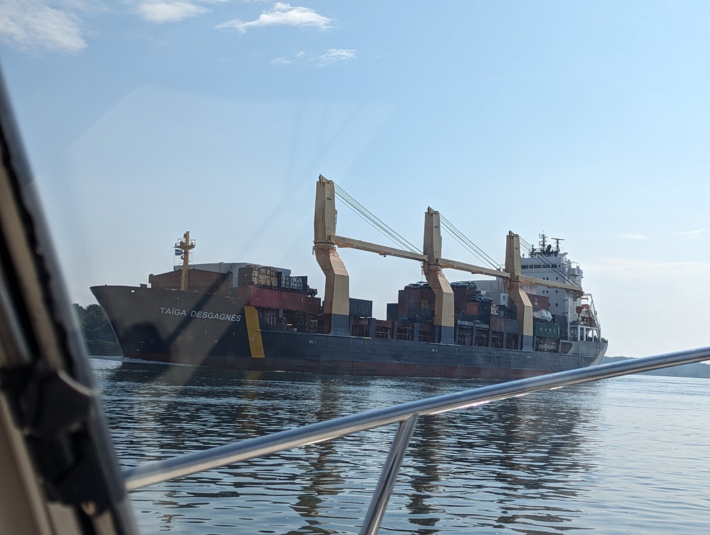
Figure 11: Down-river bound
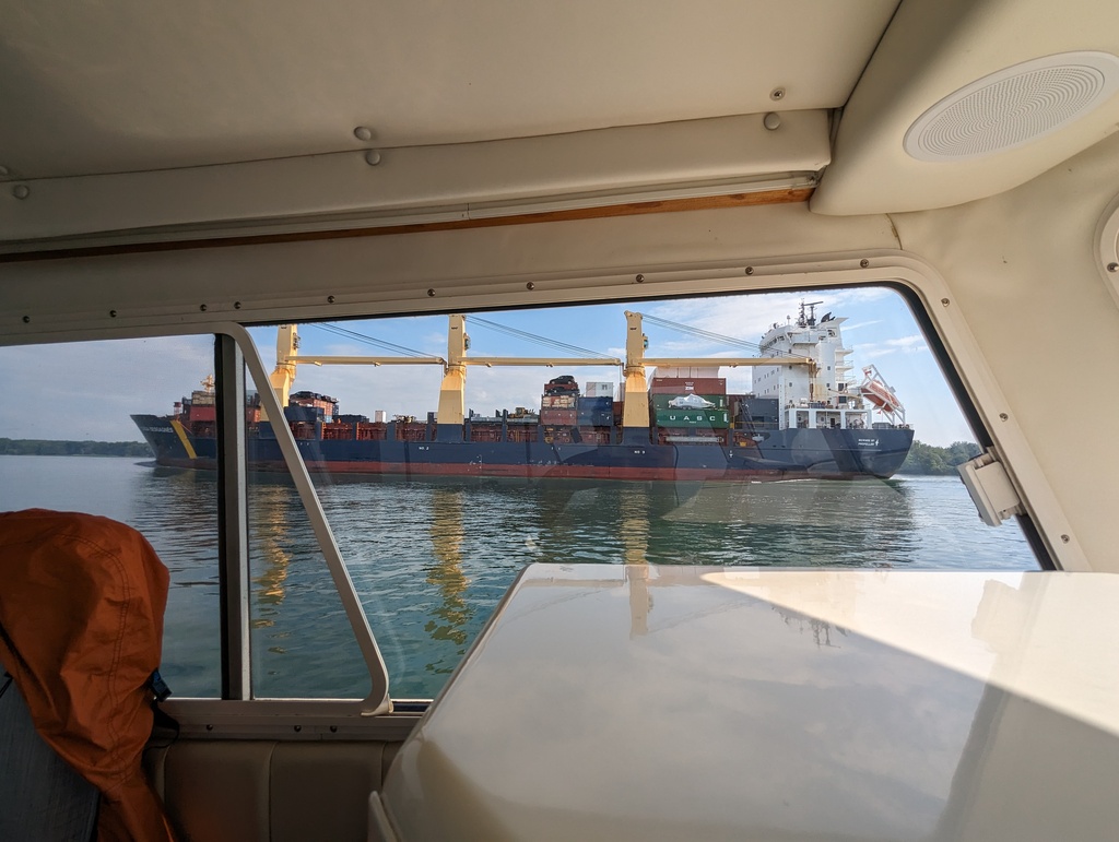
Figure 12: Down-river bound
Ottawa River
A series of locks and canals are incorporated to provide navigation along the Ottawa River. Saint Anne de Bellvue canal joins Lake Saint-Louis and Lake of Two Mountains. The Carillon, Chute-á-Blondeau and Carillon locks bypass 13 miles of rapids at the southern end of Ottawa River. Making the Ottawa River navigable became a military priority after the War of 1812 when British Naval use of the Saint Lawrence River was threatened from the American side of the river, up-river from Montreal. These locks and the Rideau Canal were built to provide an alternative to the Saint Lawrence River for Great Lake access.
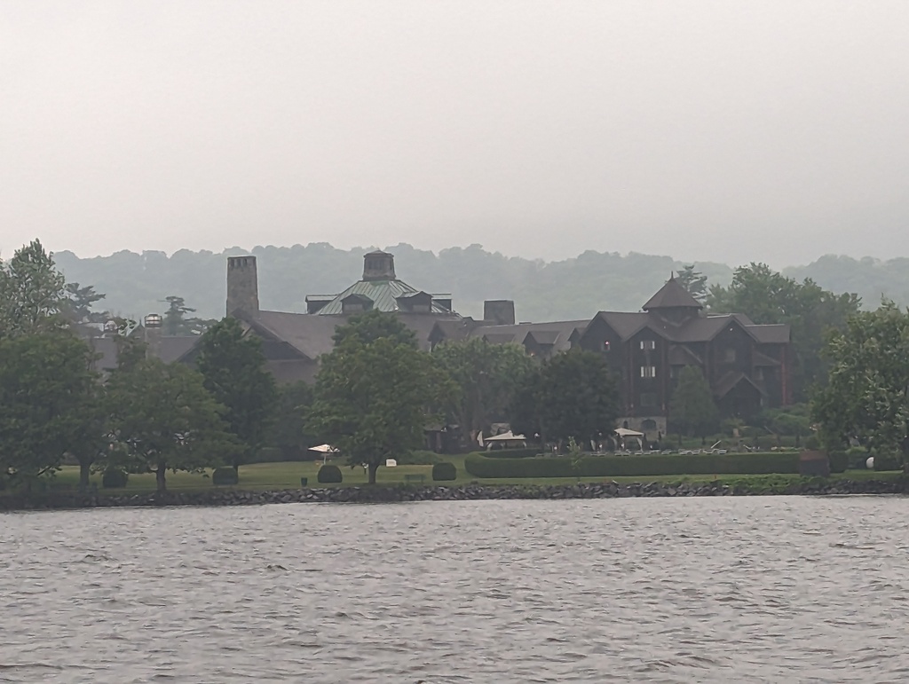
Saint Anne de Bellvue
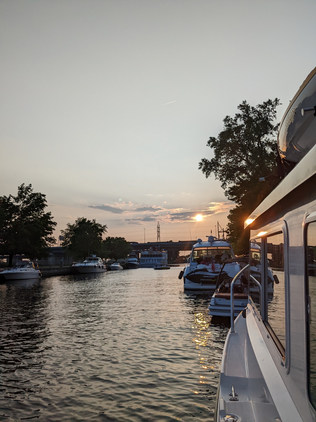
Figure 13: Saint Anne de Bellvue at the western tip of Montreal Island
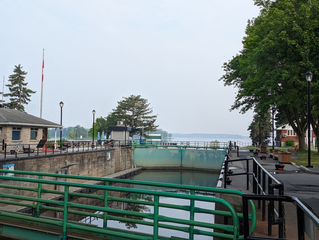
Figure 14: Saint Anne de Bellvue Lock joins Lake Saint Louise and Lake of Two Mountains
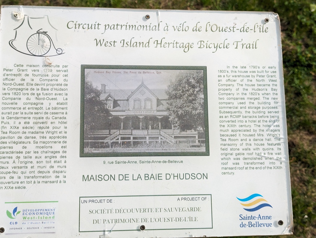
Figure 15: Saint Anne de Bellvue, founded in 1703, allowed the Beaver Pelt trade to move closer to the source
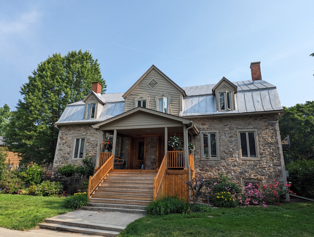
Figure 16: Originally a fur warehouse; later, converted to a hotel
Carillon Lock
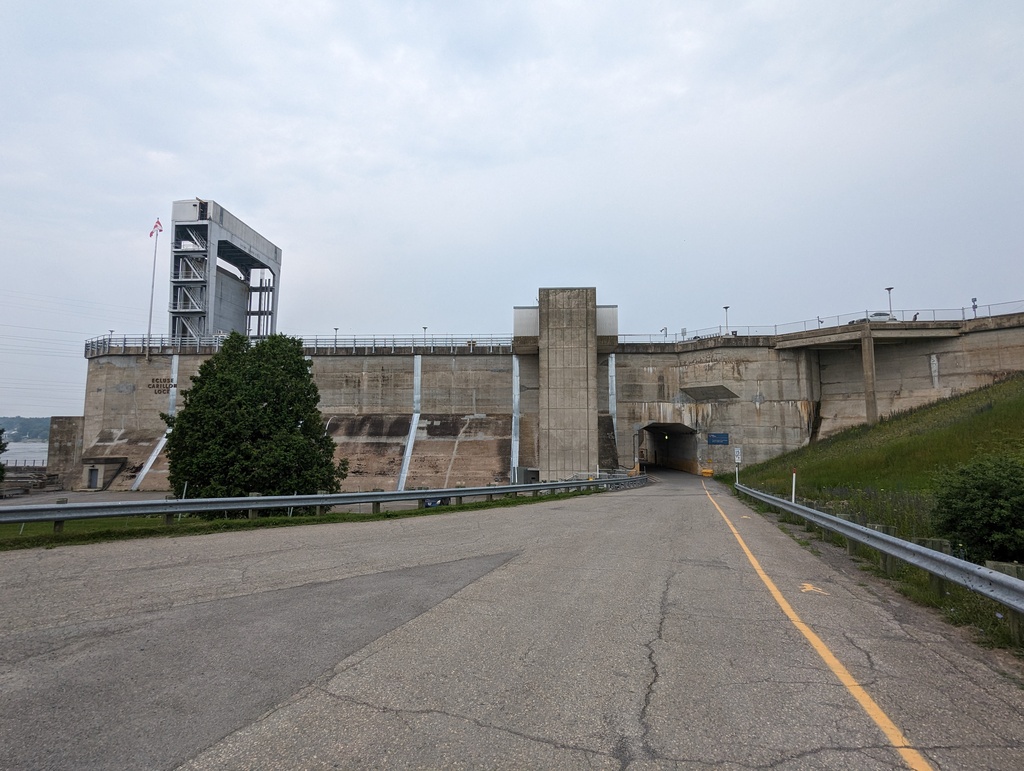
Figure 17: The new Carillon lock, completed in 1963, replaced both the original and Chute-á-Blondeu lock.
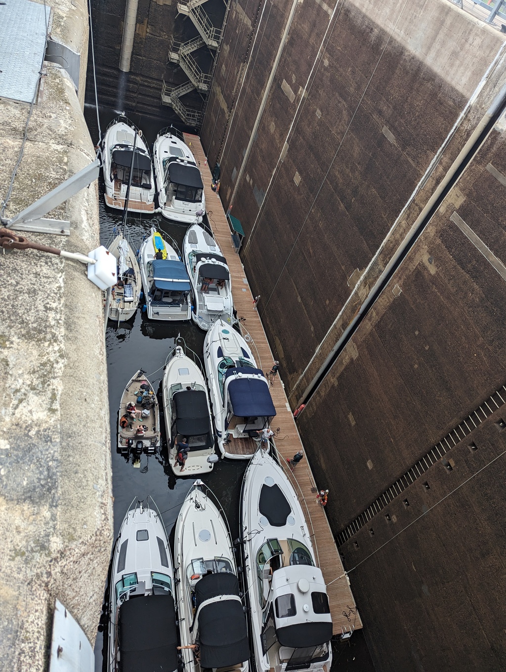
Figure 18: The Carillon lock has a vertical lift of 62ft
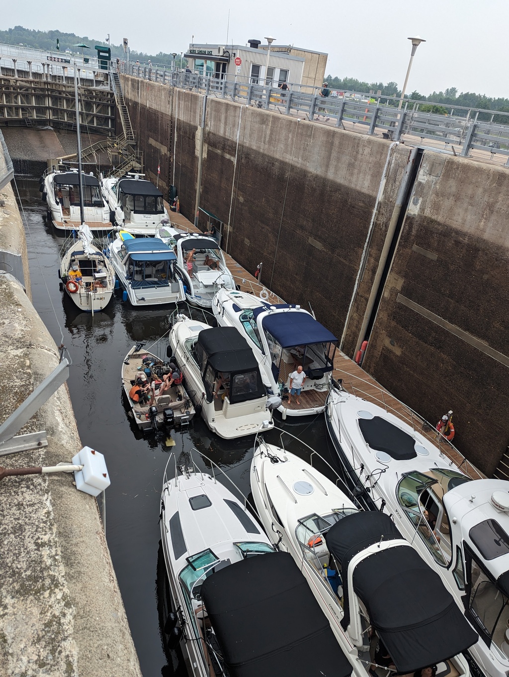
Figure 19: The Carillon lock dimensions are 134ftx33ft
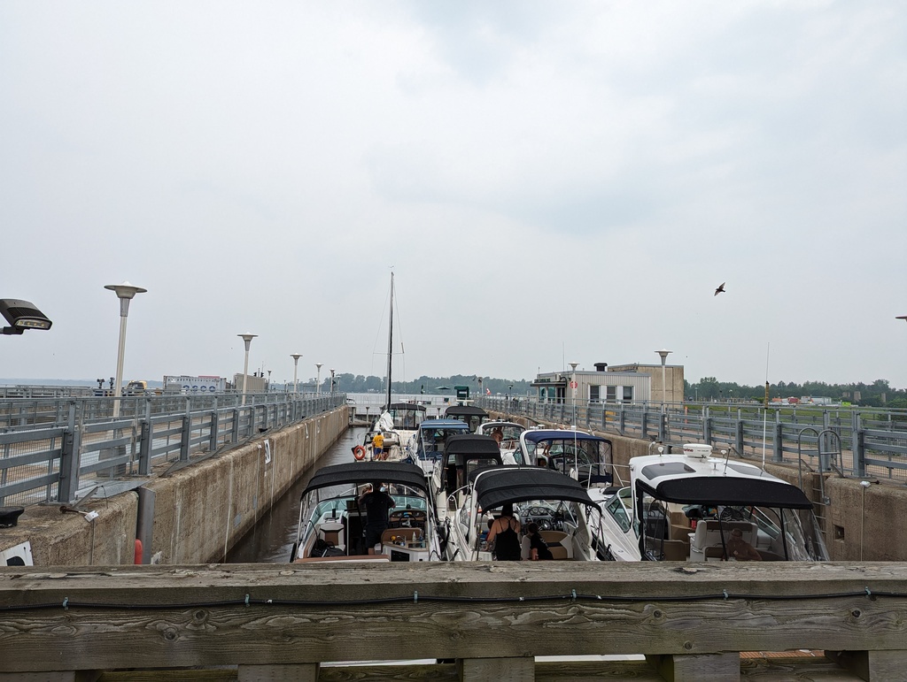
Figure 20: Each cycle of the lock requires 2.2M gallons of water
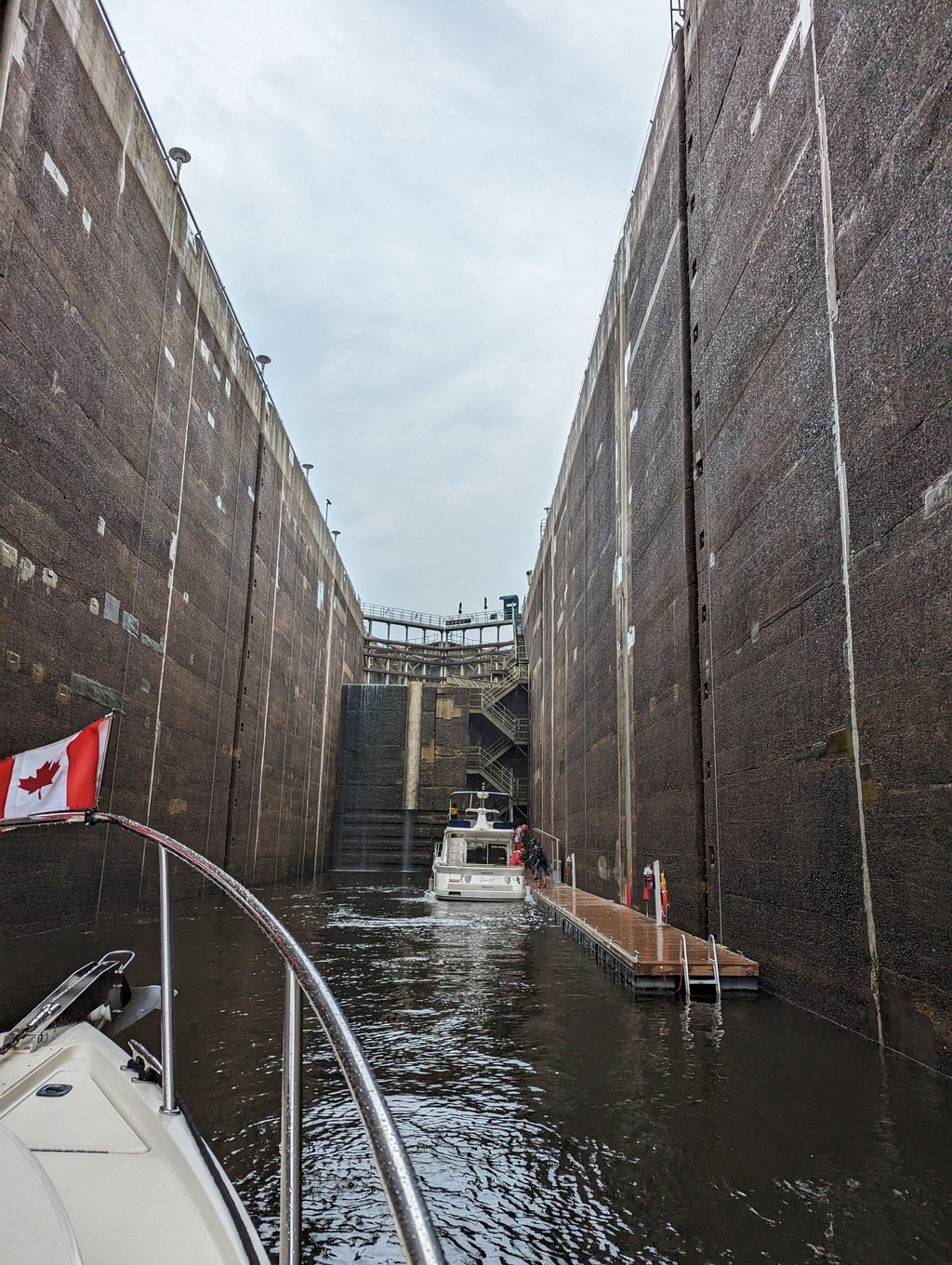
Figure 21: Penguin’s turn in the Carillon Lock
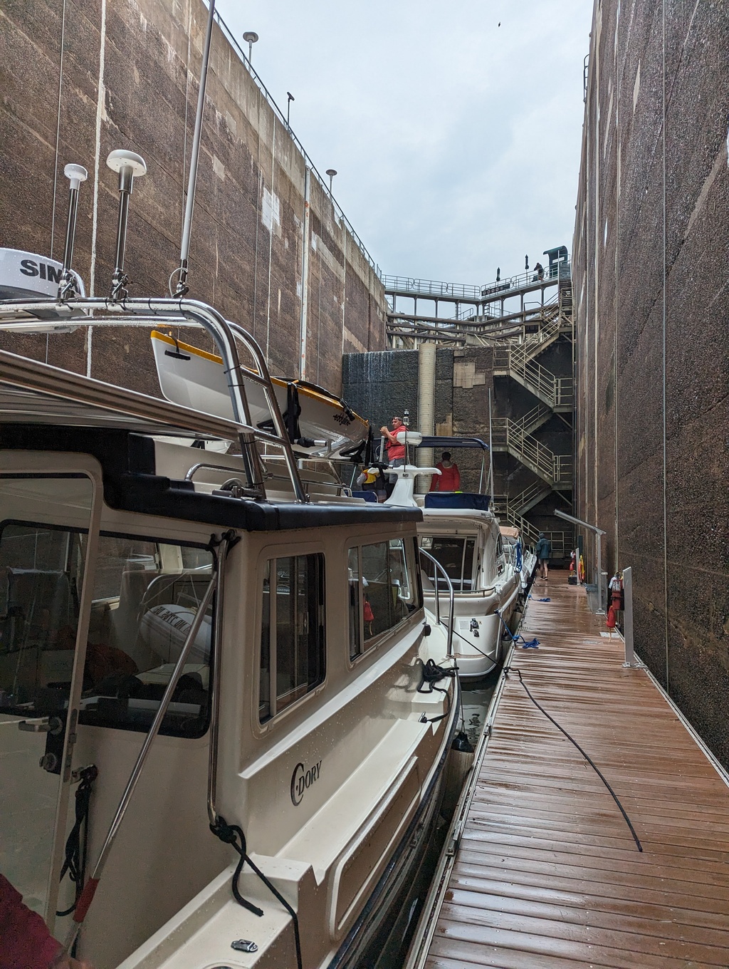
Figure 22: Boats tie to a floating dock inside the lock
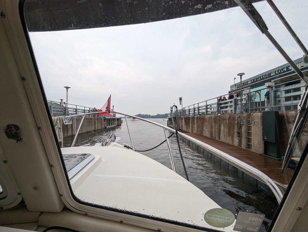
Figure 23: Penguin leaves the Carillon Lock
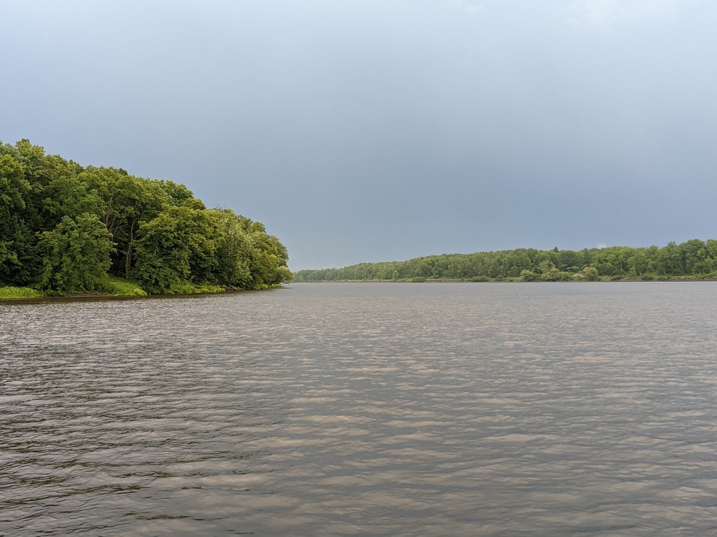
The River
We made pretty good progress up the Ottawa River, anchoring overnight in Baie des Atocas.
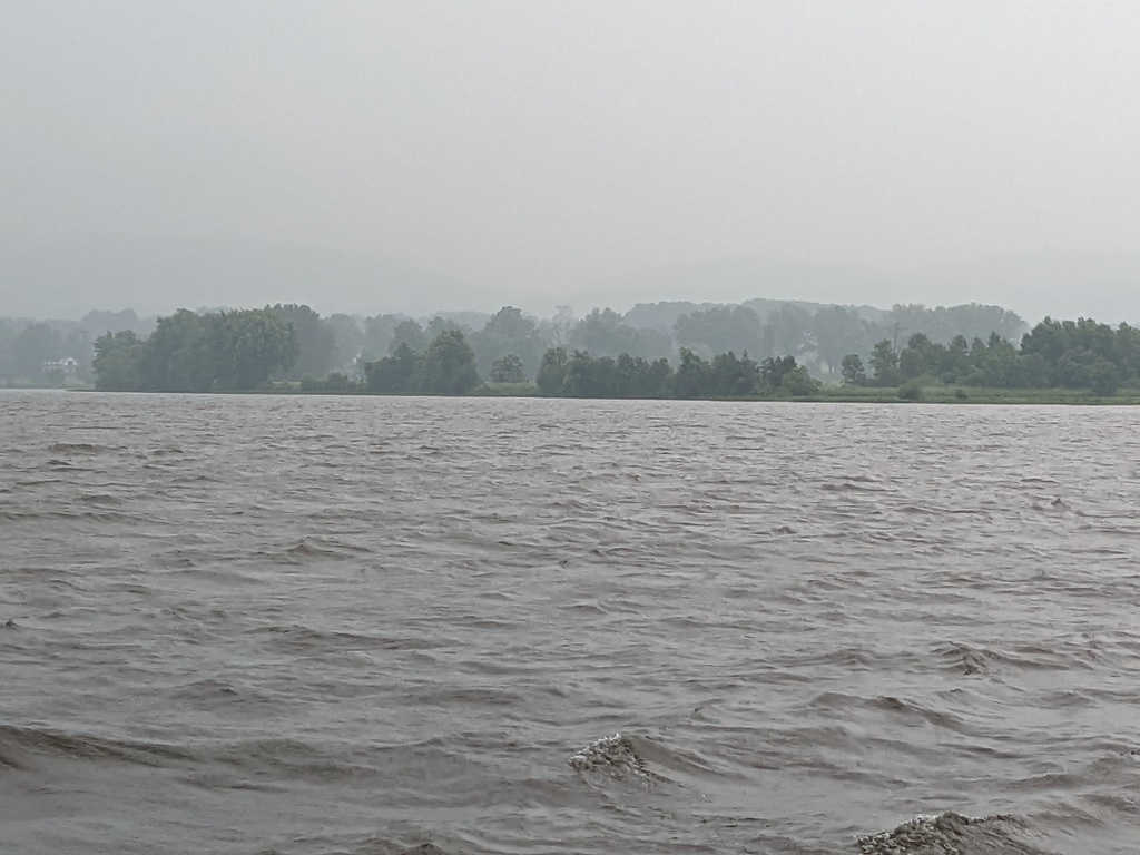
Figure 24: Leaving Baie des Atocas on a rainy morning
However, severe whether had us stopping 8 miles short of the capital taking cover from forecast of 45MPH winds, thundershowers and possible tornadoes. The storm was easily the worst weather we had experienced on this trip. While we were disappointed to not make the celebration, we were happy to be safe; the anchor held!
We continued to Ottawa on the next day, the Sunday after Canada Day.
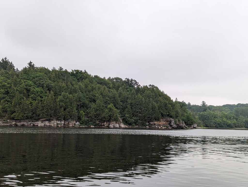
Figure 27: Ottawa River
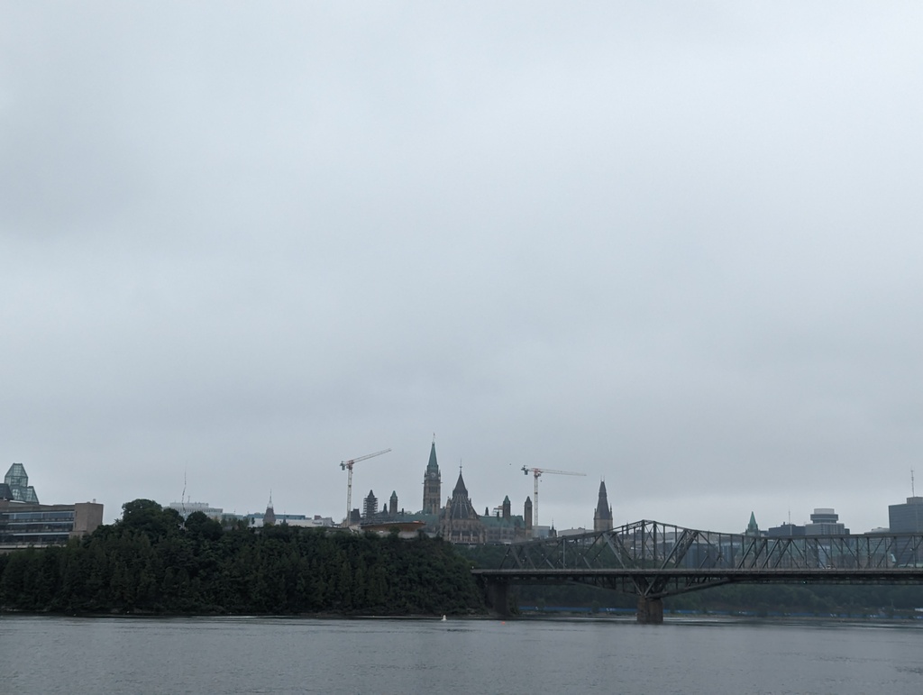
Figure 28: Approaching Ottawa
Ottawa
The village of Bytown was built as a residence for Rideau Canal workers. The village was named for John By, the Royal Engineer in charge of Rideau Canal construction. In 1855 Bytown became the City of Ottawa. In 1841 the Upper (French) and Lower (British) provinces Canada were joined into one province, the Province of Canada. The powerful cities of the day, Quebec, Montreal, Kingston, and Toronto vied to become capital to the joined Province. Queen Victoria was tasked with selecting the new capital’s location. She selected Ottawa because it was neutrally located at the borders of French and English Canada and isolated from the United States’ influence.
Rideau Canal locks 1-8 ascend from the Ottawa River into downtown Ottawa. The locks are still manually operated with the same mechanisms used when the locks opened in 1832. It takes the team of lock operators 3.5 hours to take a boat through all 8 flights.
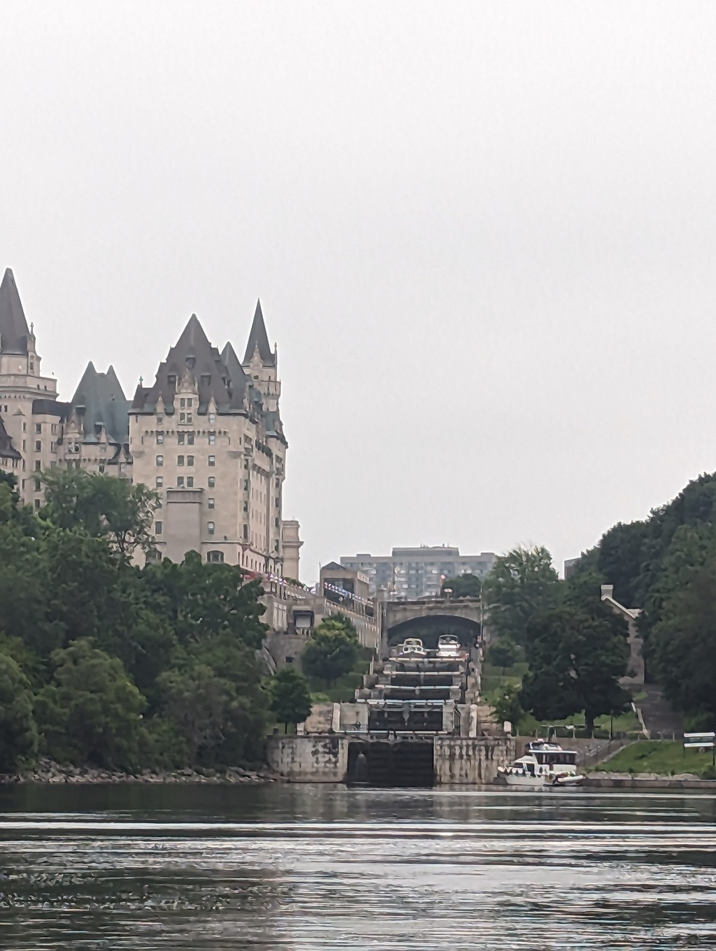
Figure 29: The Rideau Canal Locks 1-8 at the Ottawa River
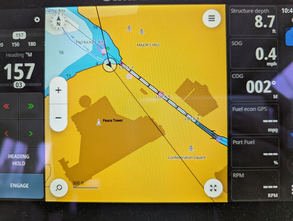
Figure 30: Locks 1-8 climb from the Ottawa River into downtown Ottawa
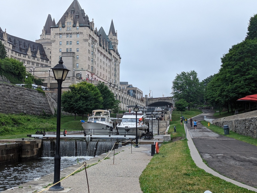
Figure 31: Descending Ottawa City Locks 1-8
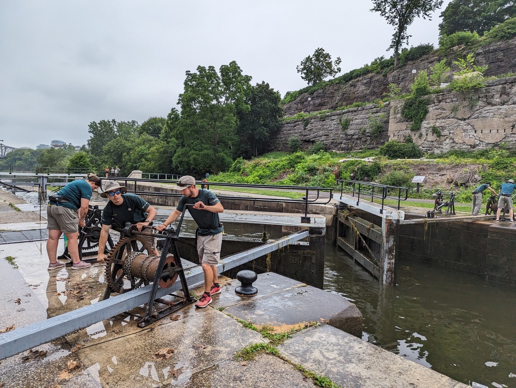
Figure 32: Locks are manually operated just as when they opened in 1832.
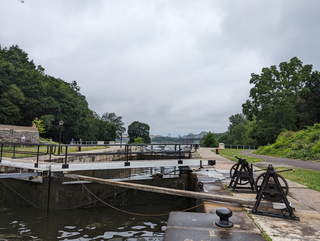
Figure 33: Mechanicals are the same as used in 1832.
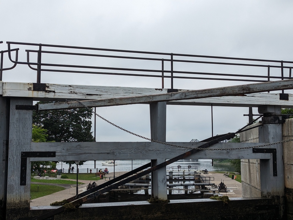
Figure 34: Mechanicals are the same as used in 1832.
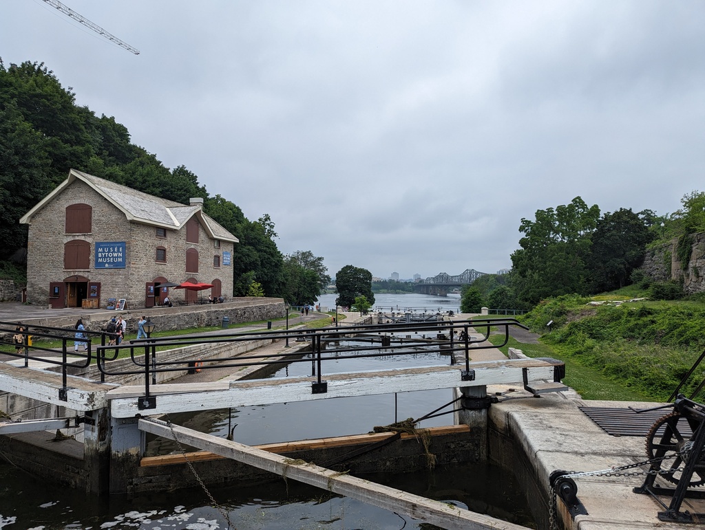
Figure 35: Bytown Museum
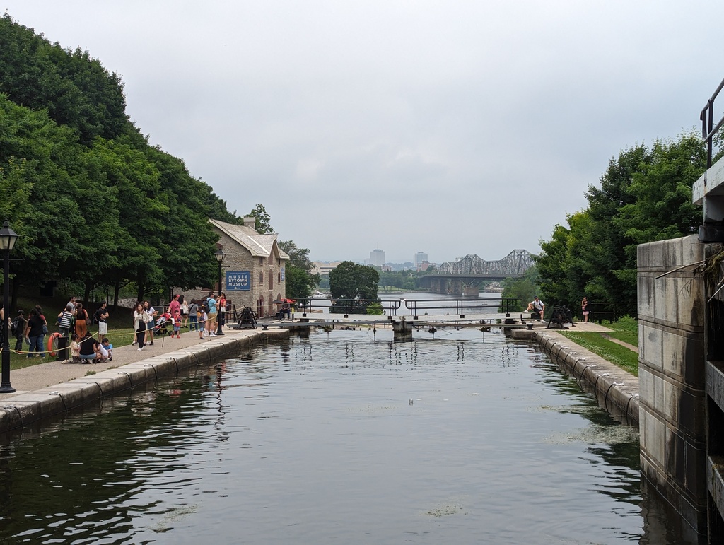
Figure 36: Departing Lock 5
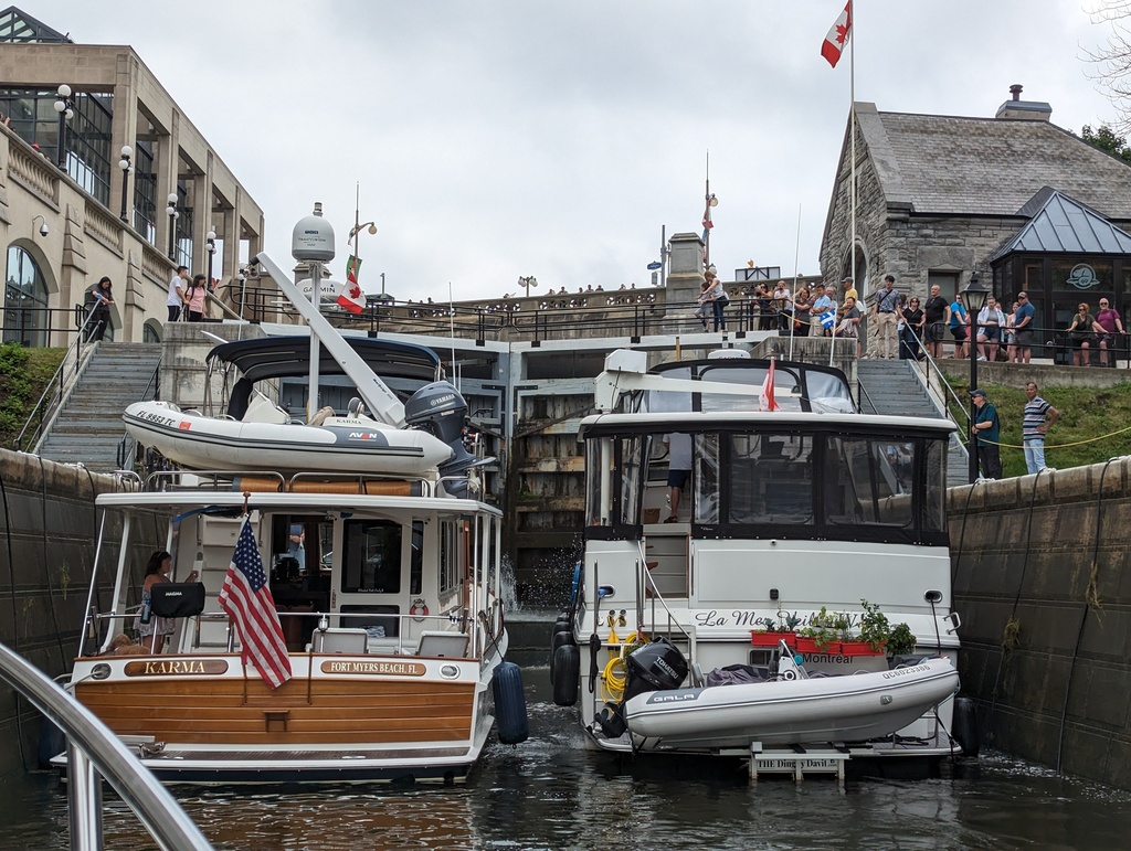
Figure 37: Entering Lock 7
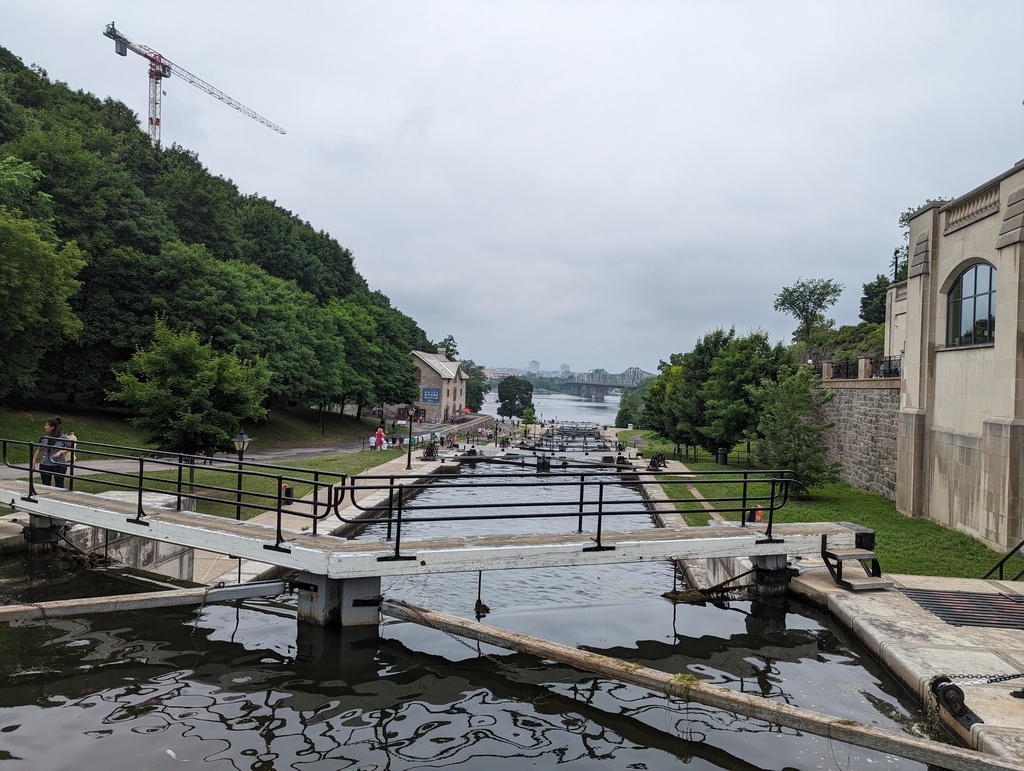
Figure 38: Top of Lock 7
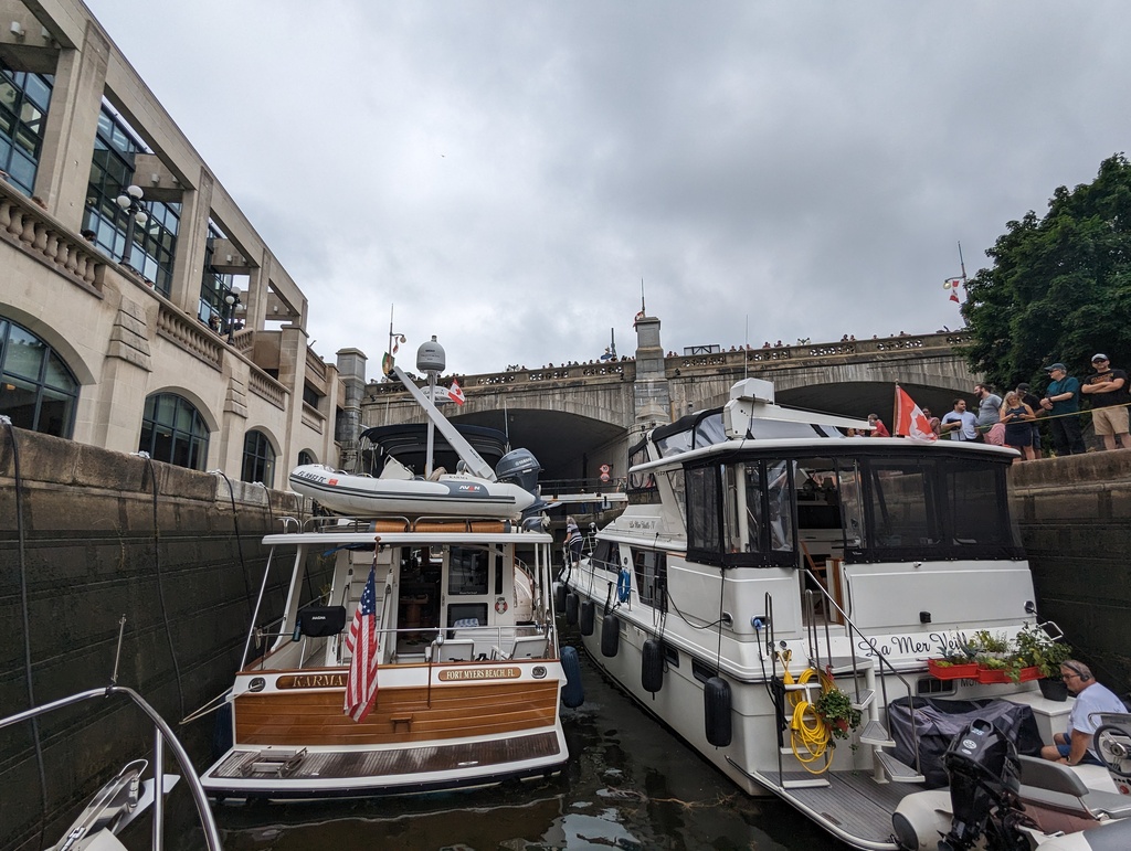
Figure 39: Entering Lock 8
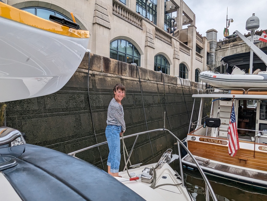
Figure 40: Tending lock lines
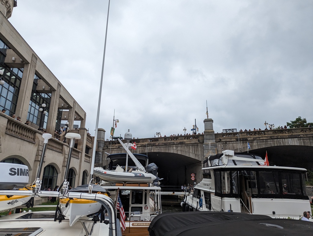
Figure 41: Lock 8 and Parliament Bridge
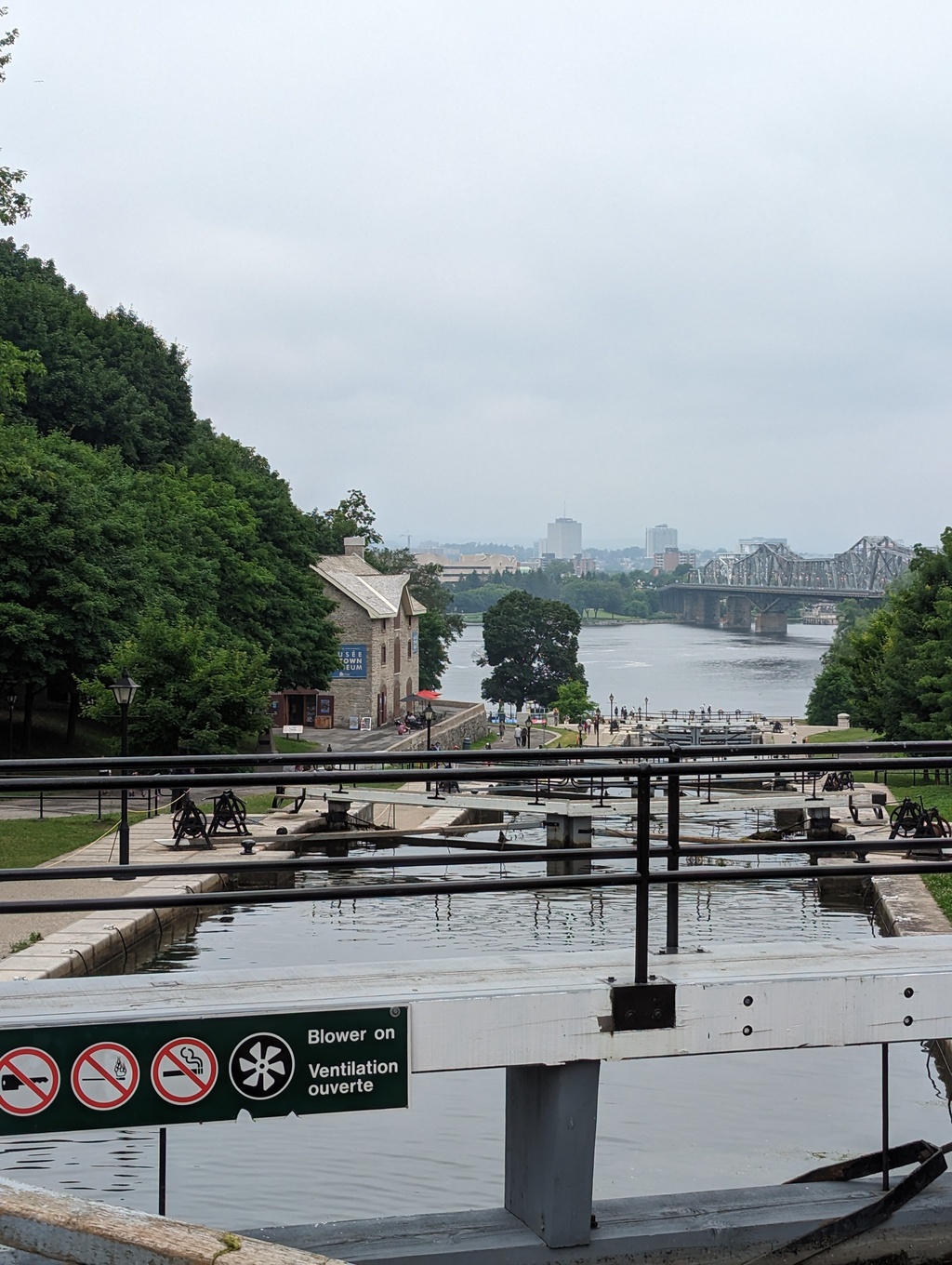
Figure 42: 3.5 hours later…
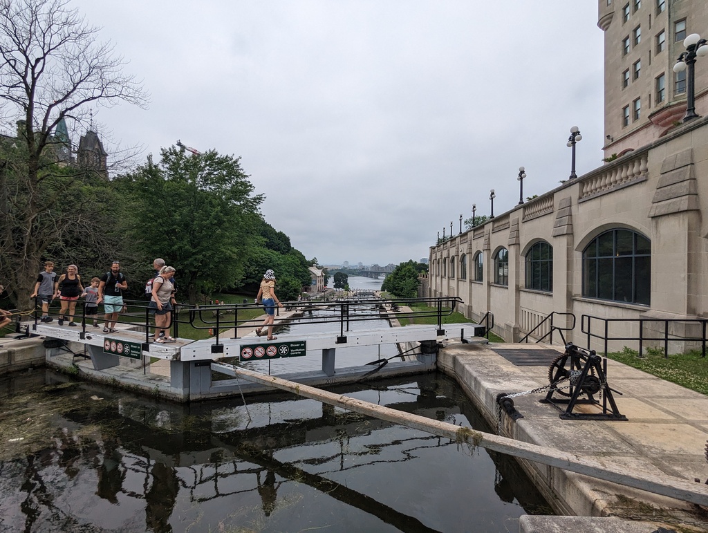
Figure 43: Leaving Lock 8
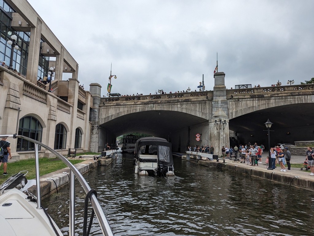
Figure 44: By the time we got to the top, WE were the entertainment!
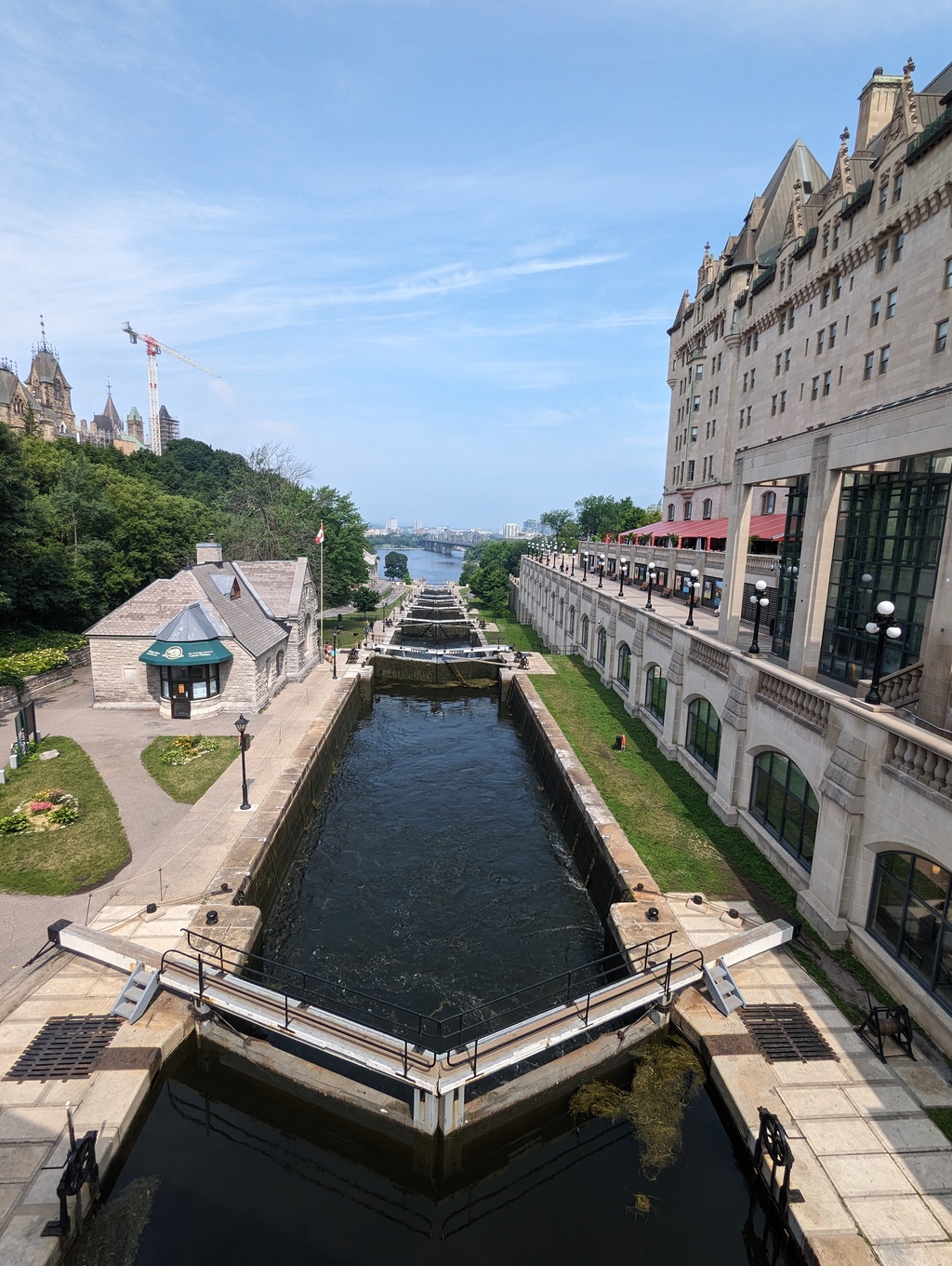
Figure 45: Looking back over the locks from Parliament Bridge
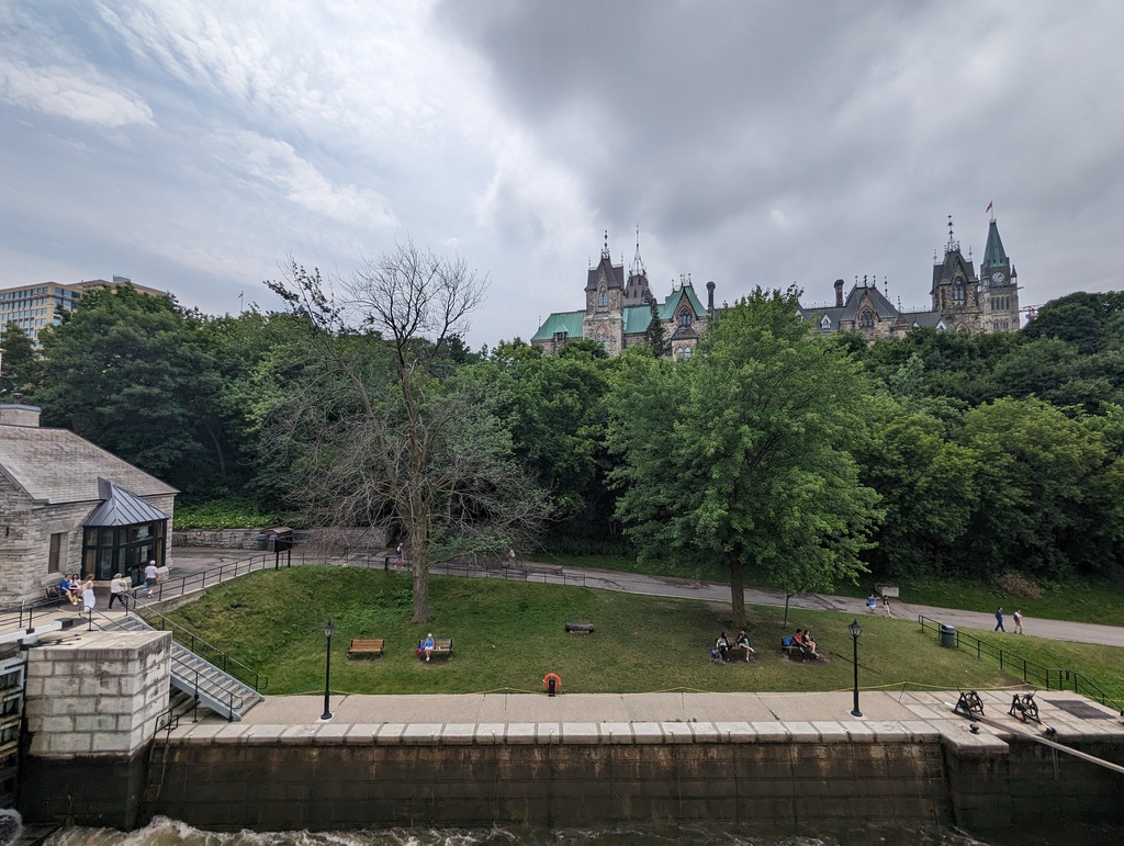
Figure 46: Parliament Hill
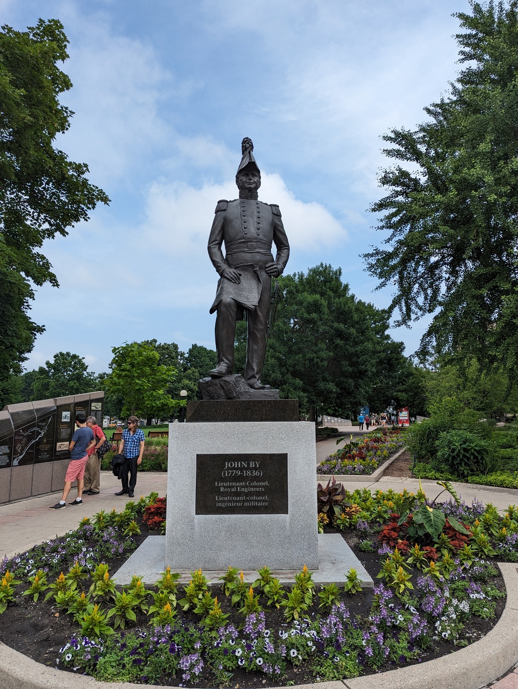
Figure 47: John By built the Rideau Canal
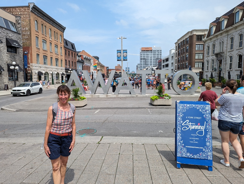
Figure 48: ByWard Market, what does AWATTO mean?
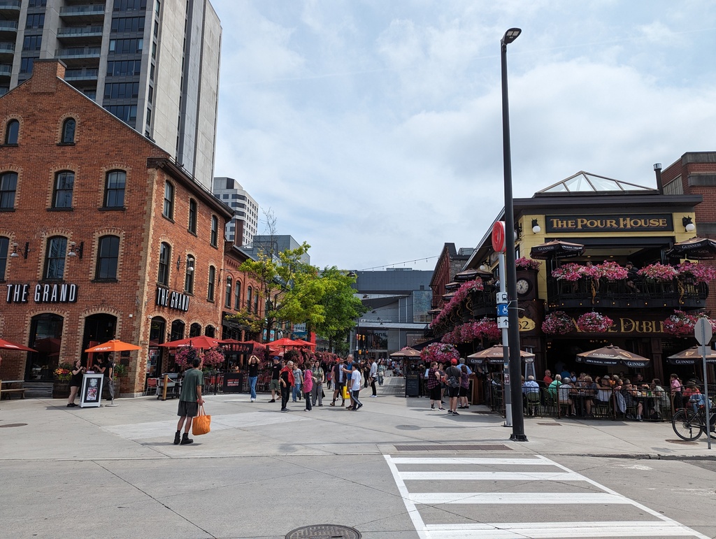
Figure 49: ByWard Market
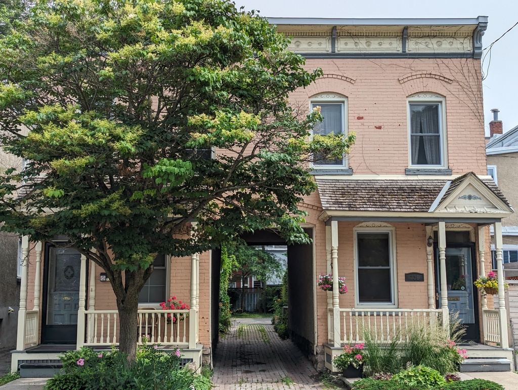
Figure 50: Random cool Town House
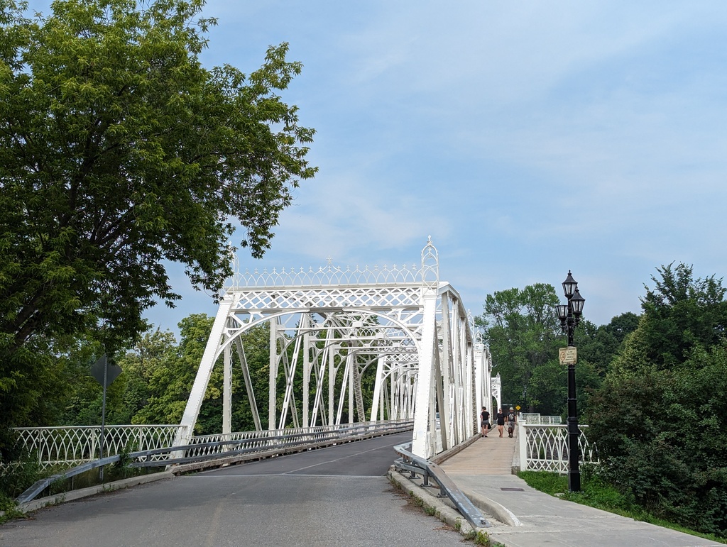
Figure 51: Rideau River
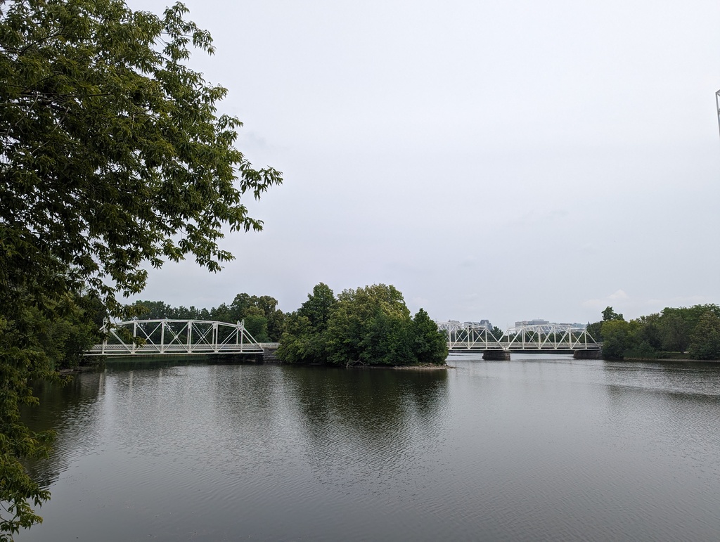
Figure 52: Rideau River
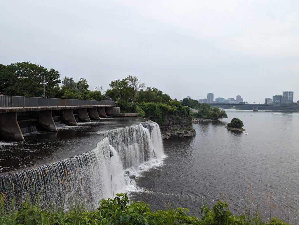
Figure 53: Rideau Falls; locks 1-8 were built to bypass the falls
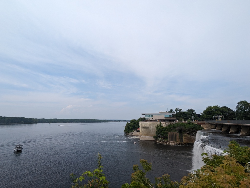
Figure 54: Rideau Falls
Figure 55: Rideau Canal
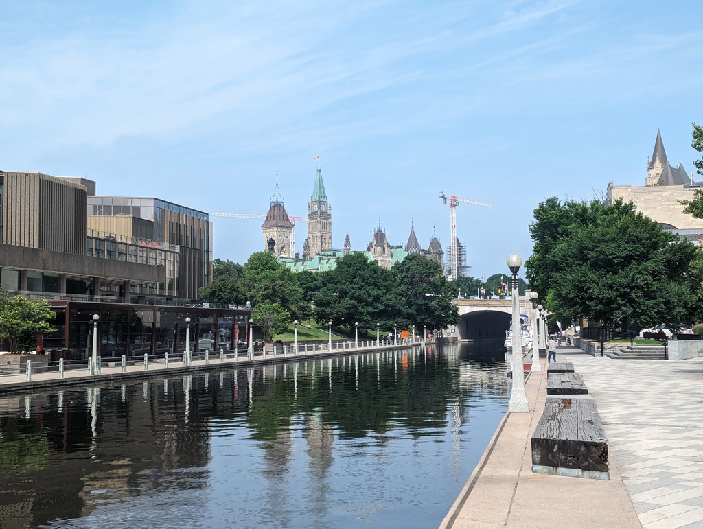
Figure 56: Rideau Canal
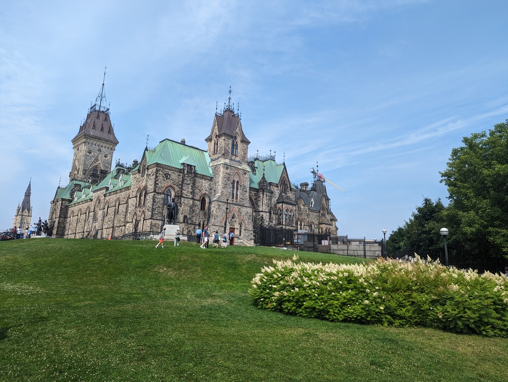
Figure 57: Parliament Hill
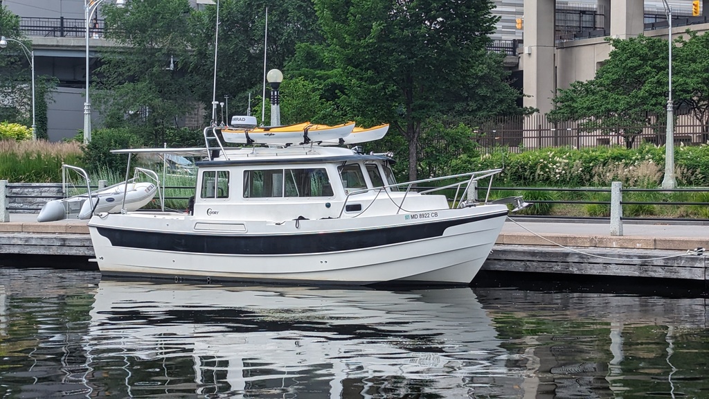
Figure 58: Penguin on the Ottawa free wall
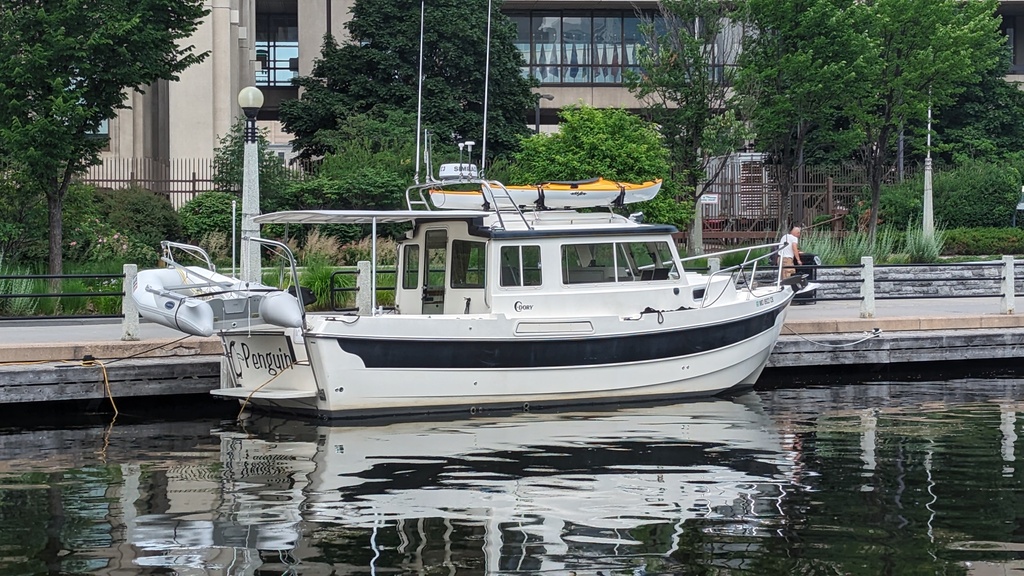
Figure 59: Penguin on the Ottawa free wall